


Why visit Swinton
Townapedia lists 10 museums and landmarks, 24 parks and trails, 108 places to eat, 3 places to stay and 6 attractions in and around town.
Highlights include Broughton Suspension Bridge, Clifton Aqueduct, Imperial War Museum North and The Lowry.
Weather in Swinton
Forecast from MET Norway (CC BY 4.0). Full forecast
About Swinton
Swinton is a town in the City of Salford in Greater Manchester, England. southwest of the River Irwell, 4 miles (6.4 km) northwest of Manchester, adjoining the town of Pendlebury and suburb of Clifton. In 2014, it had a population of 22,931.
From the Wikipedia article Swinton, Greater Manchester (this version), under CC BY-SA 4.0.
Photos of Swinton


Things to do6


Clifton Aqueduct
Bridge · 2.3 mi
Grade II listed bridge in the United Kingdom

Clifton Viaduct
Bridge · 2.4 mi
Grade II listed bridge in Greater Manchester, England, UK

Media City Footbridge
Bridge · 2.9 mi
Footbridge over the Manchester Ship Canal in the UK

Ringley Old Bridge
Bridge · 3.1 mi
Grade II* listed bridge in Bolton, Greater Manchester, England, UK

Museums and landmarks10

Imperial War Museum North
Museum · 3.0 mi
Military museum in Manchester, England

The Lowry
Museum · 3.0 mi
Arts centre and museum in Salford, England, United Kingdom

Lancashire Mining Museum
Museum · 2.0 mi
Mining museum in Greater Manchester, United Kingdom
Salford Museum and Art Gallery
Museum · 3.4 mi
Art museum in Salford, Greater Manchester, United Kingdom

Eccles Community Art Gallery
Museum · 1.3 mi
Https://www.ecclescommunityartgallery.co.uk/
Unit 4 Boothway, Manchester
Parks, trails and playgrounds24


Blackleach Country Park
Park · 2.9 mi
Country park in Walkden, Greater Manchester, England
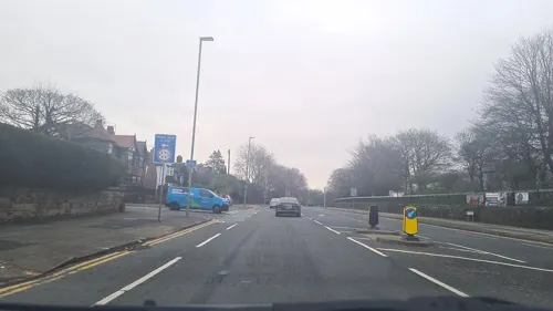
Buile Hill Park
Park · 1.7 mi
Park in Seedley, Salford, Greater Manchester, England, UK

Clifton Country Park
Park · 2.4 mi
Nature reserve in Greater Manchester, England

Drinkwater Park
Park · 2.6 mi
Park in Prestwich, Greater Manchester, UK

Peel Park
Park · 3.4 mi
Urban park in Salford, Greater Manchester, England, UK


Philips Park
Park · 2.9 mi
Area of parkland in Prestwich, Greater Manchester, UK
12 more on the map.
Restaurants and cafes108
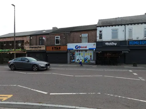

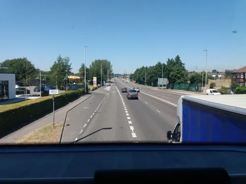
Albert's
Restaurant · 0.4 mi
East Lancashire Road, Manchester
Tu-Th 11:30-23:00; Sa 10:00-24:00; Su 10:00-23:00
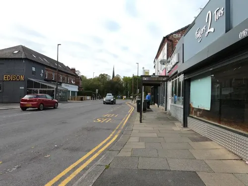

The Waterside
Restaurant · International · 0.7 mi
1 Parrin Lane, Monton
Tu-Th 12:00-21:00; Fr 12:00-21:30; Sa 09:30-11:00,12:00-21:30; Su...


Lord Nelson
Bar and pub · 1.5 mi
653 Bolton Road, Manchester
Mo-Th 12:00-23:00; Fr 12:00-23:30; Sa 11:00-23:00; Su 11:30-23:00
The Farmers Arms
Bar and pub · 1.0 mi
160 Manchester Road, Manchester
Su-Th 12:00-23:00; Fr-Sa 12:00-24:00
The Newmarket
Bar and pub · 1.5 mi
621 Bolton Road, Manchester
Mo-Th 11:00-21:00; Fr 11:00-23:30; Sa 10:00-23:30; Su 10:00-22:30
Chiu's Fish and Chips
Restaurant · Chinese · 1.4 mi
323 Liverpool Road, Manchester
Tu-Su 17:00-23:00
Popchop Curry House
Restaurant · Asian, Hong Kongese · 1.4 mi
325 Liverpool Road, Manchester
We-Su 17:00-21:00
The Bluebell
Bar and pub · 0.5 mi
Monton Green, Salford
Mo-Th 09:00-23:00, Fr-Sa 09:00-12:00, Su 09:00-23:00
96 more on the map.
History
The name Swinton derives from the Old English swin, pigs and tun, an enclosure, farmstead or manor estate. An early form was Swynton.
During the Middle Ages, Swinton belonged to Whalley Abbey. Later, lands at Swinton were granted to Thurston Tyldesley, then of Wardley Hall. Documents record that certain areas belonged to the Knights Hospitaller.
In 1817 some Swinton weavers joined in the Blanketeers' demonstration and marched to London to put their grievances to the Prince Regent. In 1842 some Swinton people took part in Chartist agitations and tried to destroy a local colliery.
Read more of the history
Sunday schools and libraries were established in Swinton at quite an early period. Swinton Industrial School was visited by Charles Dickens. The school was created by the Manchester Poor Law Union. In contrast with other institutions for the poor around that time, which were places of final resort, the Swinton Industrial School was built in response to a more enlightened attitude. The Manchester Poor Law Union saw the value of a place where children could be cared for and educated. The school opened in 1843 and survived until the 1920s. During demolition of the school buildings in the early 1930s, the foundations proved particularly difficult. Finally explosives were used, which resulted in a huge number of rats being disturbed. It was a number of weeks before council workers could remove the rats from the surrounding streets and houses. Huge nests of baby rats were carried out of the rafters of many buildings. The site was used for the present town hall.
From the History section of Swinton, Greater Manchester on Wikipedia, under CC BY-SA 4.0.
More about Swinton
Geography
Swinton lies at 53°30′44″N 2°20′28″W (53.5122°, −2.3412°), 167 miles (269 km) northwest of central London, and 4.2 miles (6.8 km) west-northwest of Manchester city centre. Topographically, Swinton occupies an area of gently sloping ground, roughly 213 feet (65 m) above sea level, and is on the south side of the River Irwell. Swinton lies in the west-central part of the Greater Manchester Urban Area, the UK's second largest conurbation. The M60 motorway passes Swinton on its northwest side.
From the Wikipedia article Swinton, Greater Manchester, under CC BY-SA 4.0.
Notable people from Swinton
 George WilsonEnglish footballer (1859-1924)Photo: Sheffield Evening Telegraph, Public domain
- Fiona HallBritish politician (born 1955)
- Geoff PullarEnglish Test and County cricketer (1935-2014)
- Dean HoldenEnglish footballer and manager (born 1979)
- Alf MeakinBritish sprinter
- Allan Chapmanhistorian of science
- Andy ClementsBritish footballer (born 1955)
- Roger SmalleyAustralian musician (1943-2015)
- Ashley GrimesFootballer (born 1986)
- Charles WoodsEnglish cricketer (1878-1940)
- Jordan HadfieldEnglish footballer (born 1987)
- Mary SumnerBritish Christian activist
Born in Swinton, according to Wikidata (CC0). Each name links to its Wikipedia article.
Where to stay3
Churches and places of worship37
Eccles Parish, St Mary the Virgin;St Mary The Virgin
Church · Anglican · 1.2 mi
Shopping9
Gas and EV charging11
Schools, colleges and libraries45
Healthcare14
St Andrew's Medical Centre
Clinic and pharmacy · 1.1 mi
32 Russell Street, Salford
Map of Swinton
250 places. The map loads OpenStreetMap tiles when you open it.
Getting there and nearby towns
Manchester Airport (MAN) is the nearest airport with scheduled flights listed in OpenStreetMap, 11 miles away.
- Salford 3 mi east, about 4 min by car
- Whitefield 4 mi northeast, about 6 min by car
- Manchester 5 mi east, about 8 min by car
- Bolton 7 mi northwest, about 11 min by car
- Timperley 7 mi south, about 11 min by car
- Westhoughton 8 mi northwest, about 13 min by car
- Oldham 10 mi east, about 16 min by car
- Stockport 10 mi southeast, about 16 min by car
- Warrington 12 mi southwest, about 19 min by car
- Wigan 12 mi west, about 20 min by car
Drive times are estimates from straight-line distance, not routes.
Towns near Swinton


Keep exploring
Local news
Headlines from INDB.
Reviews, tips and questions
Loading what members have shared...
Sources and licences
- GeoNames (CC BY 4.0): population, coordinates, regions and time zone
- Mapillary (see each image): photos
- OpenStreetMap contributors (ODbL 1.0): places, airports, map data
- Wikidata (CC0 1.0): elevation, founding date, time zone, website, landmarks and historic places
- Wikimedia Commons (see each image): photos
- Wikipedia (CC BY-SA 4.0): overview and history text
Photo credits
- Swinton Town Hall, D.A.Howcroft, CC BY-SA 3.0
- White Horse, Swinton, David Dixon, CC BY-SA 2.0
- Broughton bridge, Richerman, CC BY-SA 3.0
- Clifton Aqueduct aerial shot, Parrot of Doom, CC BY-SA 4.0
- Clifton viaduct looking north, Parrot of Doom, CC BY-SA 3.0
- Salford quays swing bridge, Parrot of Doom, CC BY-SA 3.0
- Ringley old bridge, Parrot of Doom, CC BY-SA 3.0
- Salford Quays Manchester, The original uploader was Dpaajones at English Wikipedia ., CC BY-SA 3.0
- Imperial War Museum 2008cropped, Imperial_War_Museum_2008.jpg : pit-yacker from UK derivative work: IxK85 ( talk ), CC BY-SA 2.0
- LowryArtsCentre, Bernard Randall, CC BY-SA 3.0
- Victoria Park, Swinton (8179908674), Craig Sunter from Manchester, UK, CC BY 2.0
- Peel Park (1), Marnanel, CC BY-SA 3.0
- All saints church urmston, Parrot of Doom, CC BY-SA 3.0
- Prestwich, St Mary's Church, Iain Peacock, CC BY-SA 2.0
- St Luke's church, Salford, Plucas58, CC BY-SA 3.0
- St marks worsley, Parrot of Doom, CC BY-SA 3.0
- Ellenbrook Chapel, Tony Smith, CC BY-SA 2.0
- St marys parish church eccles greater manchester, Parrot of Doom, CC BY-SA 3.0
- Irwell Sculpture Trail Lookout, Parrot of Doom, Public domain
- Drinkwater Park, User:Richerman, CC BY-SA 3.0
- Culvert on Chortlon Fold, Monton (7032492445), Craig Sunter from Manchester, UK, CC BY 2.0
- Making Aberdeen butteries, Rlwjones, CC BY-SA 4.0
- Down the Subway ! (6886413526), Craig Sunter from Manchester, UK, CC BY 2.0
- Down the Subway ! (7032510527), Craig Sunter from Manchester, UK, CC BY 2.0
- Down the Subway ! (7032510173), Craig Sunter from Manchester, UK, CC BY 2.0
- Monton Green Daffodils (6886351316), Craig Sunter from Manchester, UK, CC BY 2.0
- Monton Green Daffodils (6886351780), Craig Sunter from Manchester, UK, CC BY 2.0
- Blackleach Country Park 01, SG2012, CC BY 2.0
- Monton Green Daffodils (6886352054), Craig Sunter from Manchester, UK, CC BY 2.0
- Street-level photo, tonys999, CC BY-SA 4.0
- Street-level photo, ricorico, CC BY-SA 4.0
- Street-level photo, davidsong, CC BY-SA 4.0
- Street-level photo, ricorico, CC BY-SA 4.0
- Street-level photo, tonys999, CC BY-SA 4.0
- Street-level photo, tonys999, CC BY-SA 4.0
- Street-level photo, mappo2, CC BY-SA 4.0
- Street-level photo, tonys999, CC BY-SA 4.0
- Street-level photo, tonys999, CC BY-SA 4.0
- Street-level photo, mappo2, CC BY-SA 4.0
- Street-level photo, mappo2, CC BY-SA 4.0


Page built November 10, 2026. Spotted a mistake? Tell us or suggest a place.