


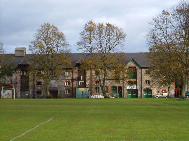
Kingsteignton, United Kingdom
Kingsteignton is a town of 11,360 people in England, United Kingdom.
Why visit Kingsteignton
Townapedia lists 12 museums and landmarks, 10 parks and trails, 26 places to eat, 3 places to stay and 2 attractions in and around town.
Highlights include Teign Bridge, Alexandra Theatre, Bradley and Cow Cave.
Weather in Kingsteignton
Forecast from MET Norway (CC BY 4.0). Full forecast
About Kingsteignton
Kingsteignton, is a town and civil parish in south Devon, England. It lies at the head of the Teign Estuary to the west of Teignmouth in the Teignbridge district. It is bypassed by the A380 and is also on the A383, A381, B3193 and B3195. Kingsteignton is currently represented in Parliament by Martin Wrigley, as part of the Newton Abbot constituency.
From the Wikipedia article Kingsteignton (this version), under CC BY-SA 4.0.
Things to do2
Teign Bridge
Bridge · 1.3 mi
Bridge in Teigngrace, Teignbridge, Devon, England, UK

Alexandra Theatre
Cinema and theater · 1.8 mi
Cinema in Newton Abbot, Devon, England, UK
Museums and landmarks12

Bradley
Museum · 2.5 mi
National Trust medieval manor house near Newton Abbot, Devon, England, UK

Cow Cave
Monument and historic site · 3.4 mi
Cave in Devon, England, UK

Pixie's Hole
Monument and historic site · 3.4 mi
Cave in Devon, England, UK


Berry's Wood
Monument and historic site · 2.5 mi
Iron Age hill fort in south Devon, England, UK

Ugbrooke
Museum · 2.8 mi
Grade I listed historic house museum in Teignbridge, United Kingdom
Parks, trails and playgrounds10

Hackney Marshes
Park · 0.7 mi
Local nature reserve in Devon, England, UK
Stover Country Park
Park · 2.8 mi
Woodland park in Teigngrace, Devon, England



Restaurants and cafes26
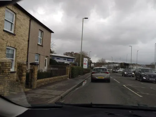
Starbucks
Cafe · Coffee Shop · 0.9 mi
Newton Road, Kingsteignton
Mo-Fr 07:30-18:00; Sa 08:00-17:30; Su 08:30-17:00
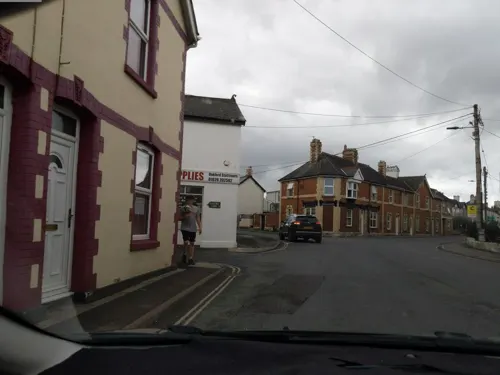

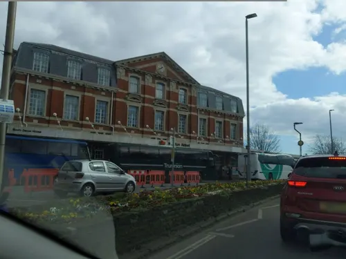

The Bell Inn
Bar and pub · 0.5 mi
29 Fore Street, Kingsteignton
11:00-22:00; Fr,Sa 11:00-00:00

14 more on the map.
History
Founded in the early 8th century by the kings of Wessex as the centre of a vast Saxon estate that extended from Teignmouth to Manaton, Kingsteignton was a key settlement in Saxon times and gave its name to the Saxon hundred of Teignton. The hundred moot or court was held in the village, but it appears that by the time of the Domesday Survey the name of the hundred had been changed to Teignbridge, possibly indicating that the site of the court had been moved. As a royal vill Kingsteignton provided rich pickings for Danish raiders who plundered it in 1001.
Medieval prosperity funded the rebuilding of the parish church (St Michaels) in the 15th century. Its 85-foot (26 metre) tower was built in the 1480s. From the medieval period to the mid-19th century the parish church held an important position as the mother church of Highweek and Newton Bushell.
Read more of the history
The Fairwater Leat, fed by the springs at Rydon, superseded the Honeywell Spring as the established water supply in the Middle Ages and also supplied the power for three mills. A drought is said to have given rise to the annual Ram Roasting fair. According to legend there was insufficient water to baptise a child, so a ram was sacrificed to the gods of the local spring. Water sprang forth and a ram has been roasted ever since at the fair, held nowadays on the late May bank holiday. Whit Tuesday was the traditional day for the fair, but it was switched to Whit Monday in the early 1950s to fit in with school holidays. The later switch to the late May bank holiday was made for the same reason when the bank holiday was fixed as the last Monday in May.
Until the 13th century the Manor of Kingsteignton was a crown demesne. In 1509 the manor passed to the Clifford family, who still hold the title of Lord of the manor today.
From the History section of Kingsteignton on Wikipedia, under CC BY-SA 4.0.
Notable people from Kingsteignton
- Henry BeekeBritish historian and theologian (1751-1837)
- Ryan LawBritish association football player (born 1999)
- Phil JoslinEnglish footballer (1916-1980)
- Luscombe SearelleBritish impresario
Born in Kingsteignton, according to Wikidata (CC0). Each name links to its Wikipedia article.
Where to stay3
Churches and places of worship5
Shopping5
Gas and EV charging1
Oakford Service Station
Gas station · 0.6 mi
8 Oakford, Kingsteignton, Newton Abbot
Schools, colleges and libraries10
Healthcare2
Map of Kingsteignton
76 places. The map loads OpenStreetMap tiles when you open it.
Getting there and nearby towns
Exeter Airport (EXT) is the nearest airport with scheduled flights listed in OpenStreetMap, 15 miles away.
- Teignmouth 4 mi east, about 6 min by car
- Exeter 12 mi north, about 20 min by car
- Sidmouth 18 mi northeast, about 29 min by car
- Tiverton 25 mi north, about 40 min by car
- Tavistock 25 mi west, about 40 min by car
- Plymstock 26 mi southwest, about 42 min by car
- Plymouth 28 mi southwest, about 44 min by car
- Saltash 30 mi west, about 48 min by car
- Minehead 45 mi north, about 1 h 15 min by car
- St Austell 54 mi west, about 1 h 30 min by car
Drive times are estimates from straight-line distance, not routes.
Towns near Kingsteignton


Keep exploring
Local news
Headlines from INDB.
Reviews, tips and questions
Loading what members have shared...
Sources and licences
- GeoNames (CC BY 4.0): population, coordinates, regions and time zone
- Mapillary (see each image): photos
- OpenStreetMap contributors (ODbL 1.0): places, airports, map data
- Wikidata (CC0 1.0): elevation, founding date, time zone, website, landmarks and historic places
- Wikimedia Commons (see each image): photos
- Wikipedia (CC BY-SA 4.0): overview and history text
Photo credits
- Bradley Manor, Newton Abbot, Devon, Smalljim, CC BY-SA 3.0
- Cow Cave Gate, Partonez, CC BY-SA 4.0
- Entrance to Fairy's Hole, Chudleigh Rocks, Partonez, CC BY-SA 4.0
- Kingsteignton church. - panoramio, tormentor4555, CC BY-SA 3.0
- Kingsteignton (2022-07-09) 4, Simon Cobb, CC0
- Tucker's Maltings, Newton Abbot, Derek Harper, CC BY-SA 2.0
- Street-level photo, WaggyDog, CC BY-SA 4.0
- Street-level photo, WaggyDog, CC BY-SA 4.0
- Street-level photo, southglos, CC BY-SA 4.0
- Street-level photo, southglos, CC BY-SA 4.0
- Street-level photo, WaggyDog, CC BY-SA 4.0
- Street-level photo, WaggyDog, CC BY-SA 4.0
- Street-level photo, southglos, CC BY-SA 4.0
- Street-level photo, WaggyDog, CC BY-SA 4.0
- Street-level photo, WaggyDog, CC BY-SA 4.0
- Street-level photo, southglos, CC BY-SA 4.0
- Street-level photo, WaggyDog, CC BY-SA 4.0
- Street-level photo, WaggyDog, CC BY-SA 4.0
- Street-level photo, WaggyDog, CC BY-SA 4.0
- Street-level photo, WaggyDog, CC BY-SA 4.0
- Street-level photo, WaggyDog, CC BY-SA 4.0
Page built November 10, 2026. Spotted a mistake? Tell us or suggest a place.