


Why visit Risca
Townapedia lists 13 museums and landmarks, 3 parks and trails, 20 places to eat, 1 place to stay and 2 attractions in and around town.
Highlights include Twmbarlwm, Machen Mountain, Craig Ruperra Motte and SM UC-3.
Weather in Risca
Forecast from MET Norway (CC BY 4.0). Full forecast
About Risca
Risca (Welsh: Rhisga) is a town in the Caerphilly County Borough and within the historic boundaries of Monmouthshire in south-east Wales. It has a population of 11,228.
From the Wikipedia article Risca (this version), under CC BY-SA 4.0.
Things to do2


Museums and landmarks13

Craig Ruperra Motte
Monument and historic site · 2.5 mi
Castle in Caerphilly County Borough, Wales, UK
Samson
Monument and historic site
(CONT. FROM 'INSCRIPTION' AND IN GRATEFUL RECOGNITION OF LORD TREDEGAR'S GENEROSITY TO THE NEIGHBOURHOOD.
Sarah Jacqueline Wilford (Nee Wigg) 1986-2010
Monument and historic site
Memorial Bench.
1 more on the map.
Parks, trails and playgrounds3

Risca Park
Park
An area for parents to bring their children, with plenty of running space.


Restaurants and cafes20
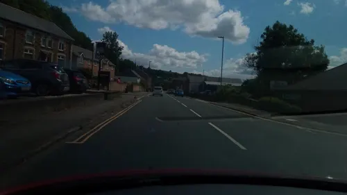
Darran
Bar and pub · 0.6 mi
2 St Mary Street, Risca
Mo-Th 11:30-23:00; Fr-Sa 11:30-00:00; Su 11:30-22:30
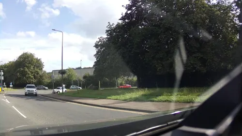
The Grove
Bar and pub · 0.5 mi
106A Commercial Street, Pontymister
Mo 00:00-01:00,08:00-18:00; Tu-Th 08:00-18:00; Fr 08:00-00:00; Sa...
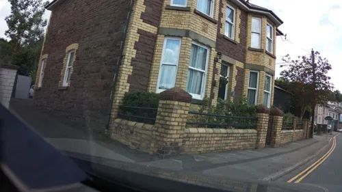
Exchange Inn
Bar and pub · 0.4 mi
52 Saint Mary Street, Risca
Mo-Th 14:00-23:00; Fr-Sa 12:00-23:30; Su 12:00-22:30
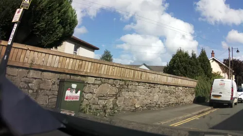
Tamarind
Restaurant · Indian · 0.5 mi
11 Commercial Street, Pontymister
Mo-Th 17:00-23:00; Fr-Sa 17:00-23:45; Su 17:00-23:00
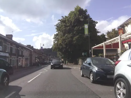
The Commercial Inn
Bar and pub · British, Chicken, Roast, Pub
Commercial Street, Risca
Mo-Sa 11:00-23:30; Su 12:00-23:30
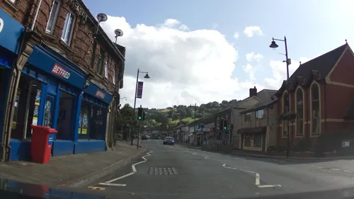
Railway Tavern
Bar and pub
1 Danygraig Road, Newport
Mo-Sa 11:00-23:00; Su 11:00-23:30
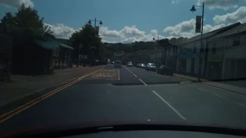
Nos Da Bakery
Cafe · Sandwich, Bakery
46 Tredegar Street, Newport
Mo-Sa 09:00-15:00; Su Off
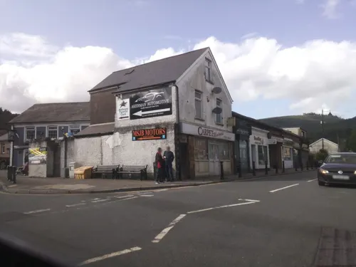
Zidane Grill House
Restaurant
32 Tredegar Street, Newport
Mo 17:00-00:00; Tu 05:00-22:00; We,Th 05:00-23:00; Fr-Sa...
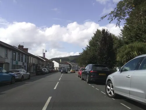
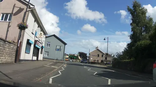

Masons Arms
Bar and pub · 0.5 mi
9 Mill Street, Newport
Mo-Th 15:00-23:00; Fr-Su 12:00-24:30
8 more on the map.
History
There is evidence of human habitation in the Risca area going back thousands of years, such as the Silures hillfort on nearby Twmbarlwm; however, the area was rural and sparsely populated until the nineteenth century. As local industries expanded and transport links improved with the building of the canal and railways, the population rapidly increased.
Several arguments have been put forward for the derivation of the name Risca/Rhisga including that it comes from the Welsh yr is cae, meaning "the lower field", or yr hesg cae, meaning "field or rushes", or rhisgl, meaning oak bark.
The earliest known official use of the name Risca for the place was in 1476 when two men from Risca were charged at the Newport Assizes, although there are also ecclesiastical documents going as far back as 1146 which include mentions of a man called Kadmore de Risca.
From 1540, Risca is found regularly in land transactions involving the Tredegar estates and in 1747 John Wesley recorded a visit in his diary.
Rapid population increase started around 1820 with the opening of the mines.
Note: Until the 1990s, these figures include the population of the nearby villages of Crosskeys and Pontymister but since the reorganisation of wards only include the population of Risca East and Risca West wards.
Read more of the history
From the early nineteenth century, the area around Risca was dominated by coal mining and transport systems to access the mines, although there is also evidence that lead and coal were being extracted much earlier.
The first large-scale mine was the Black Vein Colliery, which was located near to the boundary between Risca and what is now Cross Keys and closed in 1921. The New Risca Colliery, which was between what is now Wattsville and Cross Keys, operated until 1967.
The Black Vein coal seam was very explosive and the mines working it experienced a series of serious mine accidents. In 1846, 35 miners were killed in an explosion at the Black Vein Colliery, and in 1860 more than 140 miners were killed at the same mine. In 1860, an explosion at the New Risca colliery, which was working the same seam of coal, killed 120 men.
Brickworks, quarries and copper, tin and iron works also developed in and around Risca through the nineteenth century.
Risca was served by the Monmouthshire Railway and Canal Company lines to the north from Tredegar (via the Sirhowy Railway) and Ebbw Vale towards Newport to the south, including passenger facilities at the original Risca railway station.
The dominance of coal in the local economy meant that mine closures in the 1930s and 1940s caused severe unemployment in Risca. Some charitable relief was sent by the Mayor of Oxford's Mining Distress Committee. In 1931, this included - with the help of a grant from the Educational Settlements Association - the founding of the Educational Settlement at Oxford House, Risca. The first wardens of the settlement were a couple, Mr and Mrs Wills. David Wills was a UK pioneer of psychiatric social work, a holder of a William Straight Fellowship at the New York School of Social Work at Columbia University. Oxford House, Risca was founded at Hillside, moving in 1937 to The Grove. Oxford House is now an adult education centre operated by Caerphilly Borough Council.
By the end of the 1970s, most of the local coalmines had closed and the majority of the population were working in other industries.
The town is now part of the Cardiff Capital Region which has a combined population of 1,543,293.
From the History section of Risca on Wikipedia, under CC BY-SA 4.0.
More about Risca
Education
The town currently has four schools: Risca Primary School, Ty-Sign Primary School, Ty Isaf Infants School and Risca Community Comprehensive School. Risca Community Comprehensive School is the only secondary school in Risca and was opened by Elizabeth II in 1977. It is located on the same site as the town's leisure centre and has approximately 1000 pupils.
Risca also has an award-winning male voice choir. Founded in 1970, Risca Male Choir won the award at the 2024 National Eisteddfod of Wales in Pontypridd and is conducted by Matthew Harrison.
From the Wikipedia article Risca, under CC BY-SA 4.0.
Notable people from Risca
- William Bracepolitician (1865-1947)
- Densey ClyneAustralian naturalist, photographer and writer (1922–2019)
- Martyn SpragueWelsh footballer (born 1949)
- Jehoida HodgesWelsh rugby union player (1876-1930)
- Alfred GoodingBritish businessman
- Jack EdwardsWelsh footballer (1929-2014)
- James WinstoneBritish politician (1863-1921)
- Russell TaylorWelsh rugby union player
- Harold EdwardsWelsh rugby league footballer (1909–1993)
- Tom RobertsWelsh rugby union player
- Stanley PowellWelsh rugby union and rugby league footballer (1916-1995)
Born in Risca, according to Wikidata (CC0). Each name links to its Wikipedia article.
Where to stay1
Churches and places of worship14
The Catholic Church Risca Saint Anthony of Padua Saint Clare of Assisi
Church
Park Road, Newport
Shopping3
Gas and EV charging4
Schools, colleges and libraries8
Risca Leisure Centre & Community Comprehensive School
School · 1.4 mi
Pontymason Lane, Risca
Healthcare1
Map of Risca
69 places. The map loads OpenStreetMap tiles when you open it.
Getting there and nearby towns
Cardiff Airport (CWL) is the nearest airport with scheduled flights listed in OpenStreetMap, 18 miles away.
- Newport 5 mi east, about 7 min by car
- Whitchurch 8 mi southwest, about 14 min by car
- Cardiff 9 mi south, about 15 min by car
- Treharris 10 mi northwest, about 16 min by car
- Tredegar 13 mi northwest, about 21 min by car
- Clevedon 15 mi southeast, about 25 min by car
- Portishead 17 mi southeast, about 27 min by car
- Weston-super-Mare 19 mi south, about 30 min by car
- Nailsea 19 mi southeast, about 31 min by car
- Yatton 19 mi southeast, about 31 min by car
Drive times are estimates from straight-line distance, not routes.
Towns near Risca


Keep exploring
Local news
Headlines from INDB.
Reviews, tips and questions
Loading what members have shared...
Sources and licences
- GeoNames (CC BY 4.0): population, coordinates, regions and time zone
- Mapillary (see each image): photos
- OpenStreetMap contributors (ODbL 1.0): places, airports, map data
- Wikidata (CC0 1.0): elevation, founding date, time zone, website, landmarks and historic places
- Wikimedia Commons (see each image): photos
- Wikipedia (CC BY-SA 4.0): overview and history text
Photo credits
- Risca, panorama, Rudi Winter, CC BY-SA 2.0
- Twmbarlwm to England - panoramio, dwtheprof, CC BY 3.0
- GWR Boundary Marker - Risca, Park Road to Station Road junction, Ben Lavery-Griffiths, CC BY-SA 4.0
- Street-level photo, victuallers, CC BY-SA 4.0
- Street-level photo, victuallers, CC BY-SA 4.0
- Street-level photo, southglos, CC BY-SA 4.0
- Street-level photo, southglos, CC BY-SA 4.0
- Street-level photo, southglos, CC BY-SA 4.0
- Street-level photo, southglos, CC BY-SA 4.0
- Street-level photo, southglos, CC BY-SA 4.0
- Street-level photo, southglos, CC BY-SA 4.0
- Street-level photo, southglos, CC BY-SA 4.0
- Street-level photo, southglos, CC BY-SA 4.0
- Street-level photo, southglos, CC BY-SA 4.0
- Street-level photo, southglos, CC BY-SA 4.0
- Street-level photo, southglos, CC BY-SA 4.0
- Street-level photo, southglos, CC BY-SA 4.0
- Street-level photo, victuallers, CC BY-SA 4.0
- Street-level photo, southglos, CC BY-SA 4.0
- Street-level photo, southglos, CC BY-SA 4.0
- Street-level photo, southglos, CC BY-SA 4.0
- Street-level photo, southglos, CC BY-SA 4.0
- Street-level photo, editid, CC BY-SA 4.0
- Street-level photo, southglos, CC BY-SA 4.0
- Street-level photo, southglos, CC BY-SA 4.0
- Street-level photo, victuallers, CC BY-SA 4.0
- Street-level photo, southglos, CC BY-SA 4.0
Page built November 10, 2026. Spotted a mistake? Tell us or suggest a place.