


Why visit Haxby
Townapedia lists 5 parks and trails, 24 places to eat, 6 places to stay and 2 attractions in and around town.
Highlights include Joseph Rowntree Theatre and Web Adventure Park.
Weather in Haxby
Forecast from MET Norway (CC BY 4.0). Full forecast
About Haxby
Haxby is a town and civil parish in the City of York, a unitary authority area in the English county of North Yorkshire. According to the 2001 Census, the parish had a population of 8,754, which reduced to 8,428 at the 2011 Census.
From the Wikipedia article Haxby (this version), under CC BY-SA 4.0.
Things to do2

Joseph Rowntree Theatre
Cinema and theater · 2.7 mi
Grade II listed theatre in York, North Yorkshire, England, UK

Parks, trails and playgrounds5




Restaurants and cafes24
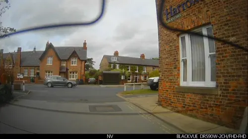

The Black Horse
Bar and pub · 0.7 mi
The Village, York
Mo, Tu, Th-Sa 12:00-14:30, 16:30-20:00
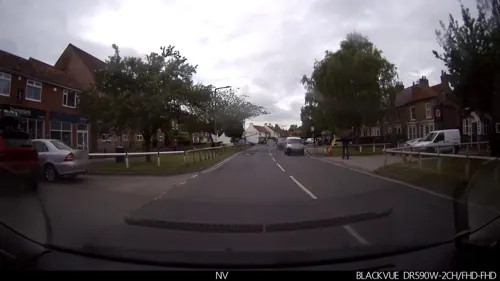
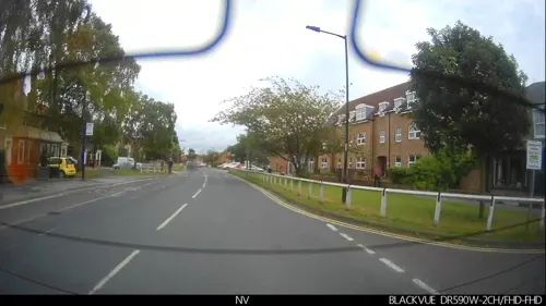

Haxby and Wigginton Reading Cafe
Cafe · Sandwich, Coffee Shop, Cake
Mo-Fr 10:00-15:00; Sa 10:00-13:00
Costa
Cafe · Coffee Shop
1 Ryedale Court, York
Mo-Fr 07:00-18:00; Sa 08:00-18:00; Su 09:00-15:00

Blacksmiths Arms
Bar and pub · 1.2 mi
The Old Village
Mo-Th,Su 12:00-22:30; Fr-Sa 12:00-23:00
12 more on the map.
Where to stay6


History
A settlement on the site of the modern town named by the Vikings as Haxebi was established around the 9th century. The Norse word "BY" meant a township or farm and was usually appended to the name of the holder of the lands, in this case a man called Hakr. A Grade III listed Viking cross base in the churchyard of St Mary's Church, and the discovery of a Viking cross shaft in a nearby garden in 1978 support this date. There is evidence of Roman occupation with the 1966 discovery of a site of a Roman villa on Haxby Moor. Roman pottery was found in 2003 on Station Road along with a silver Roman signet ring.
In the Middle Ages, because the village was in the royal Forest of Galtres, its inhabitants were subject to forest law and took part in the occasional courts that devised and enforced it. Charles I divested himself of the forest in 1629 and the village acquired the land to increase its size, resulting in the parish of some 2,100 acres (8.5 km2) of today. Haxby was not a separate parish. Initially it was divided between the parishes of Strensall and Driffield. Once St Mary's Church, Haxby was built in the 16th century it became a chapelry to the parish of Strensall and in 1862 became a parish in its own right.
Read more of the history
Much of the current town centre is 18th and early 19th century architecture but significant redevelopment took place in Victorian times of which the Memorial Hall (formerly the Board School), now housing a local community radio station Vale Radio, the present St Mary's Church and the Methodist Chapel are all important buildings. It was at this time, with the arrival of the railway in Haxby, that the village became a popular place to live and commute from. Growth continued gradually throughout the first half of the 20th century until the population explosion in the 1970s quadrupled the population. In 1976, the local authority took the very important step of designating the centre of Haxby as a conservation area.
By 1992, Haxby had outgrown its image of a rural village and was declared a town, by which time its population had grown to be over 10,000. In 1996, a national revision of boundaries moved Haxby from Ryedale District Council to be part of City of York Unitary Authority and this new authority adopted the boundaries and conditions of the conservation area.
From the History section of Haxby on Wikipedia, under CC BY-SA 4.0.
More about Haxby
Geography
The town sits on flat ground consisting mostly of clay with soil that is sand and alluvium, near the old Forest of Galtres. To the north is a small tributary of the River Foss called Goland Dike, and to the east is the River Foss which flows southward. The nearby village of Wigginton now merges with Haxby though the old Parish Boundary map still shows the dividing line. This runs east to west along the back of the houses on Wheatfield Lane on its southern edge as far as Barley View. Here it turns northward cutting across Greenshaw Drive until it reaches the road known The Village. The boundary follows this road until it turns west. The boundary at this point continues northward cutting across Windsor Drive near Ripley Grove and then out into the countryside.
Education
Primary school education is provided at Headlands Primary School in Oak Tree Lane and Ralph Butterfield School in Station Road.
The town is within the catchment area of Joseph Rowntree Secondary School.
Oaken Grove Primary School (formerly Usher Lane Annex) was closed in the 2002 and part of the site became Reid Park. The rest of the site including the football pitch was retained by the Haxby and Wigginton Youth and Community Association and reopened as the Oaken Grove Community Centre.
In January 2023, the new Haxby and Wigginton Library re-opened at the Oaken Grove Community Centre, following a £1.2 million refurbishment. A number of classes, activities, and Youth services are provided at the two large community rooms, and the reopened facility includes a community cafe, a children's library area, and a main library and reading room.
From the Wikipedia article Haxby, under CC BY-SA 4.0.
Notable people from Haxby
- Jordan HoltFootballer (born 1994)
Born in Haxby, according to Wikidata (CC0). Each name links to its Wikipedia article.
Churches and places of worship11
All Saints Church, Huntington
Church · Anglican · 1.2 mi
Church Lane, York
Haxby and Wiggington Methodist Church
Church · Methodist · 0.5 mi
The Village, York
Shopping5
Gas and EV charging2
Schools, colleges and libraries9
Healthcare5
Map of Haxby
69 places. The map loads OpenStreetMap tiles when you open it.
Getting there and nearby towns
Leeds Bradford Airport (LBA) is the nearest airport with scheduled flights listed in OpenStreetMap, 26 miles away.
- York 4 mi south, about 6 min by car
- Wetherby 14 mi southwest, about 23 min by car
- Selby 16 mi south, about 26 min by car
- Knaresborough 16 mi west, about 26 min by car
- Ripon 20 mi northwest, about 33 min by car
- Kippax 21 mi southwest, about 34 min by car
- Knottingley 22 mi south, about 36 min by car
- Leeds 25 mi southwest, about 40 min by car
- Horsforth 26 mi southwest, about 42 min by car
- Lofthouse 26 mi southwest, about 42 min by car
Drive times are estimates from straight-line distance, not routes.
Towns near Haxby


Keep exploring
Local news
Headlines from INDB.
Reviews, tips and questions
Loading what members have shared...
Sources and licences
- GeoNames (CC BY 4.0): population, coordinates, regions and time zone
- Mapillary (see each image): photos
- OpenStreetMap contributors (ODbL 1.0): places, airports, map data
- Wikidata (CC0 1.0): elevation, founding date, time zone, website, landmarks and historic places
- Wikimedia Commons (see each image): photos
- Wikipedia (CC BY-SA 4.0): overview and history text
Photo credits
- The Village, Haxby, Keith Rattenbury, CC BY-SA 2.0
- Joseph Rowntree Theatre York 02, Malcolmxl5, CC BY-SA 4.0
- Huntington church, James@hopgrove at English Wikipedia, Public domain
- St Everilda's Church, Nether Poppleton, DS Pugh, CC BY-SA 2.0
- St Giles, Skelton, Alison Stamp, CC BY-SA 2.0
- IMG 6466 - St Marys Church Haxby 1 (Nigel Coates), Nigel Coates ( talk ), CC BY-SA 3.0
- Wigginton Black Horse Pub, Ian S, CC BY-SA 2.0
- Street-level photo, lamaar639, CC BY-SA 4.0
- Street-level photo, southglos, CC BY-SA 4.0
- Street-level photo, lamaar639, CC BY-SA 4.0
- Street-level photo, lamaar639, CC BY-SA 4.0
- Street-level photo, lamaar639, CC BY-SA 4.0
- Street-level photo, lamaar639, CC BY-SA 4.0
- Street-level photo, lamaar639, CC BY-SA 4.0
- Street-level photo, lamaar639, CC BY-SA 4.0
- Street-level photo, lamaar639, CC BY-SA 4.0
- Street-level photo, lamaar639, CC BY-SA 4.0
- Street-level photo, lamaar639, CC BY-SA 4.0
- Street-level photo, lamaar639, CC BY-SA 4.0
- Street-level photo, lamaar639, CC BY-SA 4.0
- Street-level photo, lamaar639, CC BY-SA 4.0
- Street-level photo, lamaar639, CC BY-SA 4.0
- Street-level photo, lamaar639, CC BY-SA 4.0
- Street-level photo, lamaar639, CC BY-SA 4.0
- Street-level photo, lamaar639, CC BY-SA 4.0
- Street-level photo, lamaar639, CC BY-SA 4.0
- Street-level photo, lamaar639, CC BY-SA 4.0
- Street-level photo, lamaar639, CC BY-SA 4.0
- Street-level photo, southglos, CC BY-SA 4.0
- Street-level photo, Semir_Mapillary, CC BY-SA 4.0
Page built November 10, 2026. Spotted a mistake? Tell us or suggest a place.