


Robertsbridge, United Kingdom
Robertsbridge is a town of 2,047 people in England, United Kingdom.
Why visit Robertsbridge
Townapedia lists 6 museums and landmarks, 2 parks and trails, 12 places to eat and 2 places to stay in and around town.
Highlights include Bateman's, Robertsbridge Abbey and Collingwood Nature Reserve.
Weather in Robertsbridge
Forecast from MET Norway (CC BY 4.0). Full forecast
About Robertsbridge
Robertsbridge is a village in the civil parish of Salehurst and Robertsbridge, and the Rother district of East Sussex, England. It is approximately 10 miles (16 km) north of Hastings and 13 miles (21 km) south-east of Royal Tunbridge Wells. It had a population of 1,436 at the 2021 census. The River Rother passes through the village.
From the Wikipedia article Robertsbridge (this version), under CC BY-SA 4.0.
Travel tips from other travellers: Robertsbridge on Wikivoyage (CC BY-SA 4.0).
Photos of Robertsbridge

Museums and landmarks6

Bateman's
Museum · 4.1 mi
17th-century house museum in Burwash, East Sussex, England, United Kingdom


Medieval moated site, Glottenham Castle
Monument and historic site · 1.1 mi
Moated site in Mountfield, East Sussex, England, UK

Parks, trails and playgrounds2


Restaurants and cafes12




Bistro @ the Station
Cafe · 2.2 mi
Station Approach, Etchingham

Where to stay2
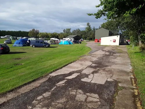
Park Farm Camping
Campground · 2.0 mi
Open from 1 April (or Easter if early) to 31 October. Very large campground with big lawns. Fires allowed at pitches at the lawn....
Junction Road, Bodiam
Mo-Su 10:00-22:00

History
The village is thought to date back to 1176 when a Cistercian abbey was founded there by the Abbot, Robert de St Martin. When a market charter was granted in 1198 by Richard I to Robertsbridge (Pons Roberti in Latin) it was the first recorded use of the name. The abbey was dissolved in 1538; however, the town flourished, and many of the oldest existing houses in the village date from the 14th and 15th centuries, including The Seven Stars Inn in the High Street. From the village was discovered the Robertsbridge Codex (1360), a music manuscript from the 14th century. It contains the earliest surviving music written specifically for keyboard.
From the History section of Robertsbridge on Wikipedia, under CC BY-SA 4.0.
More about Robertsbridge
Economy
Robertsbridge is the home to several notable sporting equipment brands. Parent company Grays International have been based in Robertsbridge since moving from Cambridgeshire in the 1990s. The company makes cricket equipment under the Gray-Nicolls brand, netball and rugby equipment as Gilbert, and hockey equipment as Grays.
Education
Robertsbridge Community College, a specialist mathematics and computer college, is the smallest such in the county of East Sussex. Salehurst Church of England Primary School is also located in the village.
From the Wikipedia article Robertsbridge, under CC BY-SA 4.0.
Notable people from Robertsbridge
- Gary AylesBritish racing driver
- Leslie Waghorncricketer (1906-1979)
Born in Robertsbridge, according to Wikidata (CC0). Each name links to its Wikipedia article.
Churches and places of worship8
Shopping2
Schools, colleges and libraries6
Hurst Green Church of England Primary School and Nursery
School · Anglican · 1.9 mi
London Road, Etchingham
Healthcare1
Map of Robertsbridge
39 places. The map loads OpenStreetMap tiles when you open it.
Getting there and nearby towns
Lydd Airport (LYX) is the nearest airport with scheduled flights listed in OpenStreetMap, 21 miles away.
- Burwash 4 mi west, about 6 min by car
- Ticehurst 5 mi northwest, about 8 min by car
- Flimwell 5 mi north, about 8 min by car
- Northiam 6 mi east, about 9 min by car
- Ninfield 7 mi south, about 12 min by car
- Bexhill-on-Sea 9 mi south, about 15 min by car
- Lamberhurst 9 mi northwest, about 14 min by car
- Goudhurst 9 mi north, about 14 min by car
- Hastings 10 mi southeast, about 16 min by car
- Saint Leonards-on-Sea 10 mi south, about 15 min by car
Drive times are estimates from straight-line distance, not routes.
Towns near Robertsbridge


Keep exploring
Local news
Headlines from INDB.
Reviews, tips and questions
Loading what members have shared...
Sources and licences
- GeoNames (CC BY 4.0): population, coordinates, regions and time zone
- Mapillary (see each image): photos
- OpenStreetMap contributors (ODbL 1.0): places, airports, map data
- Wikidata (CC0 1.0): elevation, founding date, time zone, website, landmarks and historic places
- Wikimedia Commons (see each image): photos
- Wikipedia (CC BY-SA 4.0): overview and history text
Photo credits
- Robertsbridge High Street, Wsw16, Public domain
- 1044063 I BATEMAN'S, BATEMAN'S LANE, Exterior, from SW Burwash 20250825 0007, Tilman2007, CC BY-SA 4.0
- Collingwood Nature Reserve 6, Dudley Miles, CC BY-SA 4.0
- Former Bethel Strict Baptist Chapel, Robertsbridge (NHLE Code 1221399), The Voice of Hassocks, CC0
- St Bartholomew's Church, High Street, Burwash (NHLE Code 1044041) (June 2015) (3), Hassocks5489, CC0
- Robertsbridge United Reformed Church, Robertsbridge (NHLE Code 1221451), The Voice of Hassocks, CC0
- Robertsbridge abbey (rems of), Nigel Chadwick, CC BY-SA 2.0
- St Mary, Salehurst, Poliphilo, CC0
- The Parish Church of the Assumption of Blessed Mary and St. Nicholas, Etchingham (north side) (15238683393), Jules & Jenny from Lincoln, UK, CC BY 2.0
- All Saints Church, Mountfield (NHLE Code 1275863), The Voice of Hassocks, CC0
- Holy Trinity Church, London Road, Hurst Green (July 2011) (10), User:Hassocks5489, CC0
- Robertsbridge United Reformed Church, High Street, Robertsbridge (NHLE Code 1221451) (July 2011) (3), User:Hassocks5489, CC0
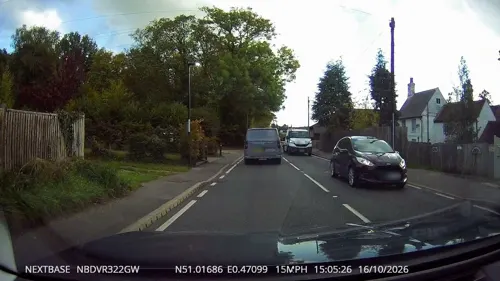
- Street-level photo, janvanbekkum, CC BY-SA 4.0
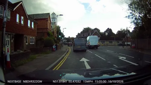
- Street-level photo, tallguy, CC BY-SA 4.0
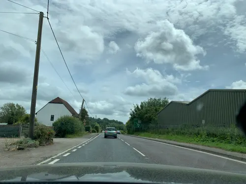
- Street-level photo, tallguy, CC BY-SA 4.0
- Street-level photo, wasd42, CC BY-SA 4.0
- Street-level photo, wasd42, CC BY-SA 4.0


Page built November 10, 2026. Spotted a mistake? Tell us or suggest a place.