


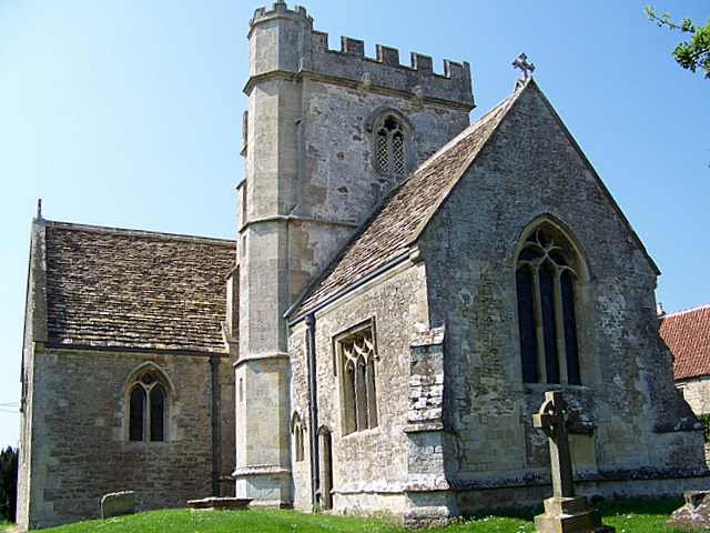


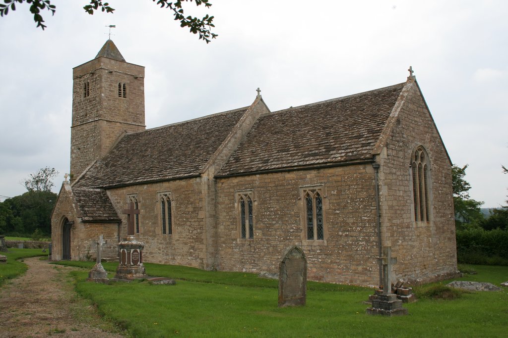
Why visit Rode
Townapedia lists 3 museums and landmarks, 8 places to eat, 3 places to stay and 1 attraction in and around town.
Highlights include Farleigh Hungerford Castle and Westwood Manor.
Weather in Rode
Forecast from MET Norway (CC BY 4.0). Full forecast
About Rode
Rode (formerly Road) is a village and civil parish in the ceremonial county of Somerset in England, 5 miles (8.0 km) north-east of Frome and 5 miles (8.0 km) south-west of Trowbridge.
From the Wikipedia article Rode, Somerset (this version), under CC BY-SA 4.0.
Things to do1

Museums and landmarks3

Farleigh Hungerford Castle
Museum · 2.3 mi
Medieval castle in Farleigh Hungerford, Somerset, England, UK

Westwood Manor
Museum · 3.2 mi
Grade I listed manor house in Wiltshire, in the United Kingdom

Restaurants and cafes8
Mes Amis
Cafe · Coffe, Cakes, Baguettes And Light Lunches · 1.3 mi
Mo-Sa; Su,PH off

Where to stay3


History
The village appears as "Rode" in the Domesday Book, but the spelling was labile from an early date: it is "Roda" in assize rolls of 1201, "la Rode" in a charter roll of 1230; by the 18th century "Road" was regarded as the usual form. This was reverted to the older spelling "Rode" by Somerset County Council in 1919. The name derives from the Anglo-Saxon rod, meaning a clearing. The parish was part of the hundred of Frome.
Rode developed from being an early crossing point of the river Frome to a large village of three manors and several mills at the time of the Norman invasion. By 1250 Rode was awarded the privilege of holding a weekly market and annual fair. The main settlement is close to the river but there is also a cluster of houses further east around St. Lawrence's church, near Seymour's Court, the Lord of the Manor's house.
Read more of the history
Rode's prominence was greatest during the 16th and 17th centuries, when the wool milling industry boomed in the South West; a success due largely to the meandering nature of its rivers, which afforded the space for the construction of mill ponds and streams, and because of its close proximity to the international port of Bristol. At one point Rode was home to four or five wool mills which created great wealth for the village and funded the construction of many large houses in the village, such as Rode Manor, Langham House, Merfield House and Southfield House. During the 16th, 17th and 18th centuries the village centre thrived enough for Rode to be known as a market town.
Possibly the greatest achievement of Rode's milling industry came in the 18th century, when a consortium of Rode mills won a competition to make a robe for Queen Charlotte. In winning the prize, a business in the village invented the dye Royal Blue and received a certificate to sell it under that name.
By the middle to the end of the 19th century, the wool mills of Rode were struggling, like many in the South West region, as a result of both the Industrial Revolution and the invention of steam power, which caused mills to move to northern industrial centres.
Rode Hill was transferred from Wiltshire to Somerset in 1937. Rode is now largely a dormitory village, offering good access to Bristol, Bath, Trowbridge and Frome.
Rode was the scene of one of the most infamous murders of the 19th century when Constance Kent was arrested by order of the town magistrates for the murder of her 3-year-old half-brother at Road Hill House (now Langham House). The case was investigated by Detective Inspector Jack Whicher. Although released at her committal hearing, Kent was later to confess, was charged and received the mandatory death sentence. This was commuted to life imprisonment, of which she served twenty years.
From the History section of Rode, Somerset on Wikipedia, under CC BY-SA 4.0.
Notable people from Rode
 Harold GilmanEnglish painter (1876-1919)Photo: Unknown author Unknown author, Public domain
- John WereatAmerican politician (1733-1799)
Born in Rode, according to Wikidata (CC0). Each name links to its Wikipedia article.
Churches and places of worship15
Gas and EV charging1
Schools, colleges and libraries4
Map of Rode
35 places. The map loads OpenStreetMap tiles when you open it.
Getting there and nearby towns
Bristol Airport (BRS) is the nearest airport with scheduled flights listed in OpenStreetMap, 20 miles away.
- Trowbridge 4 mi northeast, about 6 min by car
- Frome 4 mi southwest, about 7 min by car
- Westbury 4 mi east, about 7 min by car
- Bath 7 mi northwest, about 12 min by car
- Warminster 7 mi southeast, about 11 min by car
- Melksham 9 mi northeast, about 14 min by car
- Midsomer Norton 9 mi west, about 14 min by car
- Corsham 11 mi north, about 18 min by car
- Keynsham 13 mi northwest, about 21 min by car
- Devizes 13 mi east, about 21 min by car
Drive times are estimates from straight-line distance, not routes.
Towns near Rode


Keep exploring
Local news
Headlines from INDB.
Reviews, tips and questions
Loading what members have shared...
Sources and licences
- GeoNames (CC BY 4.0): population, coordinates, regions and time zone
- Mapillary (see each image): photos
- OpenStreetMap contributors (ODbL 1.0): places, airports, map data
- Wikidata (CC0 1.0): elevation, founding date, time zone, website, landmarks and historic places
- Wikimedia Commons (see each image): photos
- Wikipedia (CC BY-SA 4.0): overview and history text
Photo credits
- Rode centre, My another account ( talk ), Public domain
- Farleigh Hungerford East Gate, nicksarebi, CC BY 2.0
- Lullington church, Trish Steel, CC BY-SA 2.0
- Beckingtonchurch, ChurchCrawler, CC BY-SA 2.0
- Rode church, Trish Steel, CC BY-SA 2.0
- St Leonards Farleigh Hungerford, Mark Anderson, CC BY-SA 2.0
- Berkley Somerset church, Phil Williams, CC BY-SA 2.0
- Orchardleigh Lake1, The original uploader was Nabokov at English Wikipedia ., CC BY-SA 3.0
- NortonStPhilip Church1, Required attribution is: Photo by Tom Oates. The original uploader was Nabokov at English Wikipedia . (a.k.a. Tom Oates), CC BY-SA 3.0
- Tellisford All Saints, My another account ( talk ), Public domain
- Beckington Castle, Rodw, CC BY-SA 4.0
- Westwood Manor - Topiary House to the right - panoramio, Adrian Farwell, CC BY 3.0
- Street-level photo, southglos, CC BY-SA 4.0
- Street-level photo, RyanBush, CC BY-SA 4.0
- Street-level photo, RyanBush, CC BY-SA 4.0
- Street-level photo, jarosor0, CC BY-SA 4.0
- Street-level photo, southglos, CC BY-SA 4.0
- Street-level photo, southglos, CC BY-SA 4.0
- Street-level photo, southglos, CC BY-SA 4.0
- Street-level photo, chris_debian, CC BY-SA 4.0


Page built November 10, 2026. Spotted a mistake? Tell us or suggest a place.