


Why visit Rossett
Townapedia lists 1 museum or landmark, 1 park or trail, 9 places to eat, 3 places to stay and 3 attractions in and around town.
Highlights include Cook's Bridge and Farndon Bridge.
Weather in Rossett
Forecast from MET Norway (CC BY 4.0). Full forecast
About Rossett
Rossett (Welsh: Yr Orsedd or Yr Orsedd Goch) is a village, community and electoral ward in Wrexham County Borough, Wales. Rossett is served by the A483 road.
From the Wikipedia article Rossett (this version), under CC BY-SA 4.0.
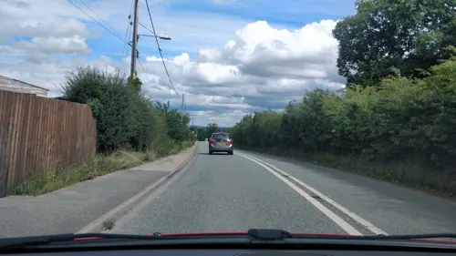
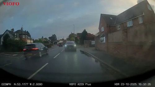
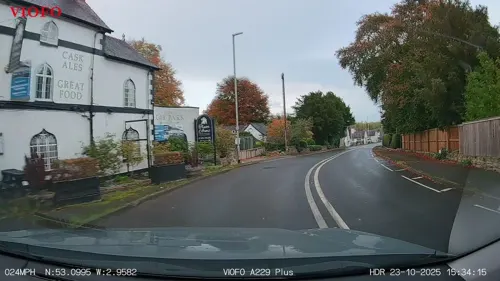
Photos of Rossett

Things to do3

Cook's Bridge
Bridge · 1.0 mi
Grade II listed bridge in Rossett, Wales, crossing the River Alyn

Farndon Bridge
Bridge · 3.2 mi
Medieval bridge on the England-Wales border

Museums and landmarks1

Parks, trails and playgrounds1

Restaurants and cafes9
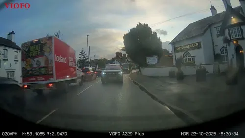
The Golden Lion
Bar and pub
Chester Road, Wrexham
Su-Th 12:00-23:00; Fr,Sa 12:00-24:00
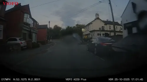
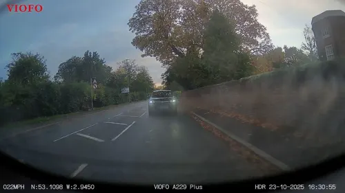

More about Rossett
Geography
Rossett is geographically located near to the cities of Wrexham (6+1⁄2 miles (10.5 km) distant) and Chester (7+1⁄2 miles (12.1 km) away). The village sits close to the Wales–England border and is built on the banks of the River Alyn which is a tributary of the River Dee 1+1⁄2 miles (2.4 km) downstream.
Rossett's neighbouring villages are Marford, Burton and Holt and Pulford in England.
From the Wikipedia article Rossett, under CC BY-SA 4.0.
Notable people from Rossett
 Sandra GidleyBritish politician (born 1957)Photo: Credit: http://www.acumenimages.com..., CC BY 2.0
 Richard TrevorWelsh landowner, soldier and politician (1558–1638)Photo: Llywelyn2000, CC BY-SA 4.0
 John TrevorWelsh judge and MP (1563-1630)Photo: Llywelyn2000, CC BY-SA 4.0
- Chris WickhamBritish historian (1950-2026)
- Shane SummersBritish racing driver
- Ian EdwardsWelsh association footballer and manager (born 1955)
- Samuel MossBritish politician
- Geraint LövgreenBritish singer
- Steve MackrethWelsh footballer
Born in Rossett, according to Wikidata (CC0). Each name links to its Wikipedia article.
Where to stay3
Churches and places of worship14
Gas and EV charging1
Schools, colleges and libraries3
Map of Rossett
35 places. The map loads OpenStreetMap tiles when you open it.
Getting there and nearby towns
Hawarden Airport (CEG) is the nearest airport with scheduled flights listed in OpenStreetMap, 5 miles away.
- Wrexham 5 mi southwest, about 8 min by car
- Chester 6 mi north, about 10 min by car
- Brymbo 6 mi southwest, about 9 min by car
- Hawarden 6 mi northwest, about 10 min by car
- Buckley 7 mi northwest, about 11 min by car
- Blacon 7 mi north, about 11 min by car
- Deeside 7 mi northwest, about 12 min by car
- Hoole 7 mi northeast, about 11 min by car
- Tattenhall 7 mi east, about 12 min by car
- Rhosllannerchrugog 8 mi southwest, about 13 min by car
Drive times are estimates from straight-line distance, not routes.
Towns near Rossett


Keep exploring
Local news
Headlines from INDB.
Reviews, tips and questions
Loading what members have shared...
Sources and licences
- GeoNames (CC BY 4.0): population, coordinates, regions and time zone
- Mapillary (see each image): photos
- OpenStreetMap contributors (ODbL 1.0): places, airports, map data
- Wikidata (CC0 1.0): elevation, founding date, time zone, website, landmarks and historic places
- Wikimedia Commons (see each image): photos
- Wikipedia (CC BY-SA 4.0): overview and history text
Photo credits
- Cook's Bridge, Trevalyn, Dave.Dunford, CC BY-SA 4.0
- Farndon bridge, Joopercoopers ( talk ), CC BY-SA 3.0
- Gresford All Saints, Spicke01, Public domain
- Gresford Methodist Church (1), The wub, CC BY-SA 4.0
- St Chad's Church, Farndon, Dave.Dunford, CC BY-SA 4.0
- St John's Church, Aldford2, Jeff Buck, CC BY-SA 2.0
- St Mary's Church, Dodleston, Paul Roberts, CC BY-SA 2.0
- St Mary's Church, Pulford, Roger May, CC BY-SA 2.0
- Sion Trefor (m. 1589) Gresffordd. John Trevor (d. 1589) Gresford Church, Cymru Wales, Llywelyn2000, CC BY-SA 4.0
- Street-level photo, davidsong, CC BY-SA 4.0
- Street-level photo, RyanBush, CC BY-SA 4.0
- Street-level photo, RyanBush, CC BY-SA 4.0
- Street-level photo, RyanBush, CC BY-SA 4.0
- Street-level photo, RyanBush, CC BY-SA 4.0
- Street-level photo, RyanBush, CC BY-SA 4.0
- Street-level photo, RyanBush, CC BY-SA 4.0
- Street-level photo, RyanBush, CC BY-SA 4.0
- Street-level photo, RyanBush, CC BY-SA 4.0
- Street-level photo, RyanBush, CC BY-SA 4.0
- Street-level photo, RyanBush, CC BY-SA 4.0
- Street-level photo, RyanBush, CC BY-SA 4.0


Page built November 10, 2026. Spotted a mistake? Tell us or suggest a place.