

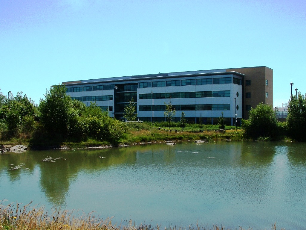

Why visit Seghill
Townapedia lists 6 museums and landmarks, 11 parks and trails, 43 places to eat, 1 place to stay and 1 attraction in and around town.
Highlights include Hillheads Farm Shop, Seaton Deleval Arts Centre, Burradon Tower and Cobalt Park.
Weather in Seghill
Forecast from MET Norway (CC BY 4.0). Full forecast
About Seghill
Seghill is a large village in the civil parish of Seaton Valley, located on the Northumberland, border which is the county boundary between Northumberland and Tyne and Wear, England. Seghill is situated between the villages of Seaton Delaval and Annitsford, about 8 miles (13 km) north of Newcastle upon Tyne.
From the Wikipedia article Seghill (this version), under CC BY-SA 4.0.
Things to do1

Museums and landmarks6
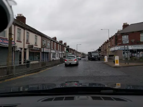

West Backworth Medieval Settlement (English Heritage Scheduled Monument)
Monument and historic site · 1.3 mi
Parks, trails and playgrounds11


Gosforth Park
Park · 3.3 mi
Park in North Gosforth, Tyne and Wear, England, UK

Restaurants and cafes43
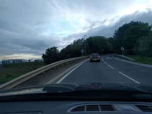
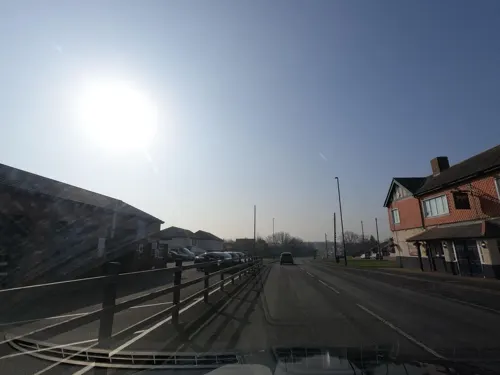

Raffaello
Restaurant · Italian, Greek · 1.2 mi
16 Avenue Road, Whitley Bay

Benedictine Catholic Social Club
Bar and pub · 1.5 mi
Glenluce Court, Cramlington


31 more on the map.
History
Seghill was formerly a township in the parish of Earsdon, from 1866 Seghill was a civil parish in its own right, on 1 April 1935 the parish was abolished to form Seaton Valley. In 1931 the parish had a population of 2582.
From the History section of Seghill on Wikipedia, under CC BY-SA 4.0.
More about Seghill
Economy
Seghill used to be a busy pit village within the Northumberland Coalfield. Seghill Colliery was closed during the so-called Robens era, on 28 September 1962. The folk song "Blackleg Miner" originates from the area and contains the lyric:
The song was written during the 1844 lockout of coal miners. Many of the striking miners were evicted from their homes in Seghill during this dispute. Thomas Burt wrote of the situation:
the very magnitude of the evictions, extending over nearly the whole of the mining districts of Northumberland and Durham, made it impossible to find house accommodation for a twentieth part of the evicted. Scores of the Seghill families camped out by the roadside between that village and the Avenue Head.
Education
There are two schools in Seghill: Seghill First School is a small first school which covers Reception to Year 4 and is run by Northumberland County Council. There is also Atkinson House EBD School.
From the Wikipedia article Seghill, under CC BY-SA 4.0.
Notable people from Seghill
- Margaret Rutherfordcricketer (born 1935)
- Alex BrownBritish association football player (1914-2006)
Born in Seghill, according to Wikidata (CC0). Each name links to its Wikipedia article.
Where to stay1
Churches and places of worship9
Shopping5
Gas and EV charging5
Schools, colleges and libraries9
Healthcare6
Northumbria Specialist Emergency Care Hospital
Hospital · 1.1 mi
Northumbria Way, Cramlington
Northumbria Way Pharmacy
Clinic and pharmacy · 1.2 mi
Northumbria Way, Cramlington
Map of Seghill
96 places. The map loads OpenStreetMap tiles when you open it.
Getting there and nearby towns
Newcastle International Airport (NCL) is the nearest airport with scheduled flights listed in OpenStreetMap, 6 miles away.
- Backworth 2 mi southeast, about 3 min by car
- Cramlington 2 mi northwest, about 4 min by car
- Whitley Bay 4 mi east, about 7 min by car
- Hazlerigg 4 mi west, about 6 min by car
- Blyth 5 mi north, about 8 min by car
- Wallsend 5 mi south, about 8 min by car
- North Shields 5 mi southeast, about 8 min by car
- Gosforth 5 mi southwest, about 8 min by car
- Bedlington 5 mi north, about 8 min by car
- Tynemouth 6 mi southeast, about 9 min by car
Drive times are estimates from straight-line distance, not routes.
Towns near Seghill


Keep exploring
Local news
Headlines from INDB.
Reviews, tips and questions
Loading what members have shared...
Sources and licences
- GeoNames (CC BY 4.0): population, coordinates, regions and time zone
- Mapillary (see each image): photos
- OpenStreetMap contributors (ODbL 1.0): places, airports, map data
- Wikidata (CC0 1.0): elevation, founding date, time zone, website, landmarks and historic places
- Wikimedia Commons (see each image): photos
- Wikipedia (CC BY-SA 4.0): overview and history text
Photo credits
- Seghill Primitive Methodist Church, Djmckee1, CC BY 3.0
- P&GCobalt, Andy Connolly, Public domain
- Church of St Bartholomew in Benton, AlixChaytor, CC BY-SA 4.0
- Street-level photo, floatingboater, CC BY-SA 4.0
- Street-level photo, floatingboater, CC BY-SA 4.0
- Street-level photo, floatingboater, CC BY-SA 4.0
- Street-level photo, floatingboater, CC BY-SA 4.0
- Street-level photo, floatingboater, CC BY-SA 4.0
- Street-level photo, floatingboater, CC BY-SA 4.0
- Street-level photo, floatingboater, CC BY-SA 4.0
- Street-level photo, floatingboater, CC BY-SA 4.0
- Street-level photo, floatingboater, CC BY-SA 4.0
- Street-level photo, floatingboater, CC BY-SA 4.0
- Street-level photo, floatingboater, CC BY-SA 4.0
- Street-level photo, floatingboater, CC BY-SA 4.0
- Street-level photo, floatingboater, CC BY-SA 4.0
- Street-level photo, floatingboater, CC BY-SA 4.0
- Street-level photo, floatingboater, CC BY-SA 4.0
- Street-level photo, floatingboater, CC BY-SA 4.0
- Street-level photo, floatingboater, CC BY-SA 4.0
- Street-level photo, floatingboater, CC BY-SA 4.0
- Street-level photo, floatingboater, CC BY-SA 4.0
- Street-level photo, floatingboater, CC BY-SA 4.0
- Street-level photo, floatingboater, CC BY-SA 4.0
- Street-level photo, floatingboater, CC BY-SA 4.0
- Street-level photo, floatingboater, CC BY-SA 4.0
- Street-level photo, floatingboater, CC BY-SA 4.0
Page built November 10, 2026. Spotted a mistake? Tell us or suggest a place.