

Seven Sisters, United Kingdom
Seven Sisters is a town of 2,123 people in Wales, United Kingdom.
Why visit Seven Sisters
Townapedia lists 5 museums and landmarks, 6 parks and trails, 10 places to eat and 4 attractions in and around town.
Highlights include Sgwd Henrhyd, Hir Fynydd, Cefn Coed Colliery Museum and Ynyscedwyn Ironworks.
Weather in Seven Sisters
Forecast from MET Norway (CC BY 4.0). Full forecast
About Seven Sisters
Seven Sisters (Welsh: Blaendulais: source of the (river) Dulais) is a village and community in the Dulais Valley, Wales, UK. It lies 10 miles (16 km) north-east of Neath. Seven Sisters falls within the Seven Sisters ward of Neath Port Talbot county borough.
From the Wikipedia article Seven Sisters, Neath Port Talbot (this version), under CC BY-SA 4.0.
Things to do4


Museums and landmarks5

Cefn Coed Colliery Museum
Museum · 4.0 mi
Museum at former copper mine

Parks, trails and playgrounds6



Restaurants and cafes10
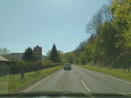
Ynyscedwyn Arms Hotel
Bar and pub · Regional, Chicken, Fish And Chips, Seafood · 2.1 mi
53 Commercial Street, Ystradgynlais
Mo-Tu 12:00-19:30; We-Sa 12:00-20:30; Su 12:00-16:00
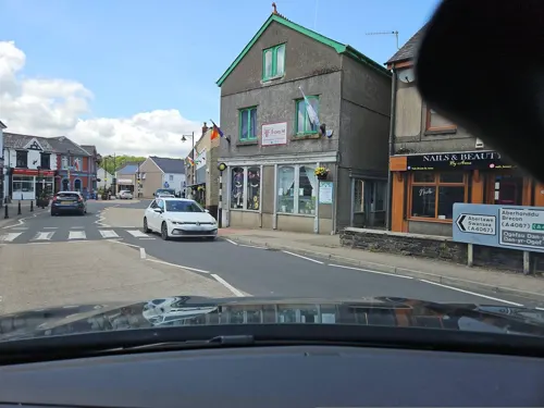
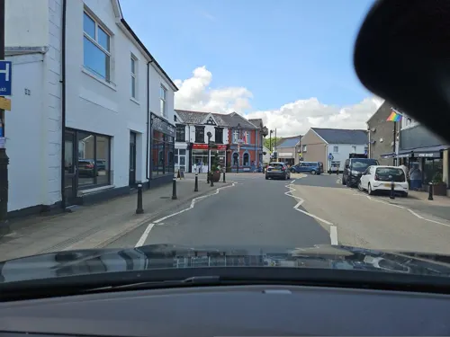

Jenkins Bakery
Bakery · 2.0 mi
20 Commercial Street, Ystradgynlais
Mo-Fr 08:00-16:30; Sa 08:00-13:30; Su off


History
The village of Seven Sisters had always been recognised historically for its coal mining pit that was located in the middle of what was once one of the richest sources of coal in Britain, if not the world, in the heart of the South Wales Coalfield.
Development of many mines, and hence small settlements into villages and towns in the area, was brought about by a combination of a rich deposits of anthracite in the western South Wales coalfield, as well as the construction of the Neath and Brecon Railway from 1862.
David Evans of the Evans-Bevan coal mining partnership, had wanted to call the colliery after his daughter, Isabella Bevan who cut the first sod on the land at Bryn Dulais farm with a silver spade on Monday 11 March 1872. However, in light of superstition, and the fact that his own six sisters attended the ceremony, Evans agreed to call the mine Seven Sisters.
Anthracite coal fields always suffer from blow out, and on 10 November 1907, one occurred which killed 5 men. In 1923, there were 607 men working at Seven Sisters, producing from the Furnace Four Feet, Brass and Nine Feet Big Vein seams. During World War II the colliery was featured in an anti-Nazi film The Silent Village, made with the cooperation of the South Wales Miners Federation.
Read more of the history
During the 1950s geological problems and changing economic conditions took their toll, and in May 1963 the colliery closed and the pit filled in. The men who had been employed at the Seven Sisters were transferred to the nearby Blaenant Colliery, which closed in 1990.
From the History section of Seven Sisters, Neath Port Talbot on Wikipedia, under CC BY-SA 4.0.
Notable people from Seven Sisters
- Richard I. AaronWelsh philosopher (1901–1987)
- Ruth BidgoodBritish writer
- Dai FrancisBritish trade unionist (1911-1981)
Born in Seven Sisters, according to Wikidata (CC0). Each name links to its Wikipedia article.
Churches and places of worship2
Gas and EV charging1
Schools, colleges and libraries5
Healthcare2
Map of Seven Sisters
35 places. The map loads OpenStreetMap tiles when you open it.
Getting there and nearby towns
Swansea Airport (SWS) is the nearest airport with scheduled flights listed in OpenStreetMap, 19 miles away.
- Ystalyfera 3 mi west, about 4 min by car
- Neath 8 mi southwest, about 13 min by car
- Clydach 10 mi southwest, about 16 min by car
- Briton Ferry 10 mi southwest, about 17 min by car
- Maesteg 11 mi south, about 18 min by car
- Ammanford 12 mi west, about 19 min by car
- Aberdare 12 mi east, about 19 min by car
- Treorchy 12 mi southeast, about 19 min by car
- Swansea 14 mi southwest, about 23 min by car
- Rhondda 14 mi southeast, about 22 min by car
Drive times are estimates from straight-line distance, not routes.
Towns near Seven Sisters


Keep exploring
Local news
Headlines from INDB.
Reviews, tips and questions
Loading what members have shared...
Sources and licences
- GeoNames (CC BY 4.0): population, coordinates, regions and time zone
- Mapillary (see each image): photos
- OpenStreetMap contributors (ODbL 1.0): places, airports, map data
- Wikidata (CC0 1.0): elevation, founding date, time zone, website, landmarks and historic places
- Wikimedia Commons (see each image): photos
- Wikipedia (CC BY-SA 4.0): overview and history text
Photo credits
- Sgwd Henrhyd, Daimack at English Wikipedia, Public domain
- Street-level photo, laye, CC BY-SA 4.0
- Street-level photo, toho, CC BY-SA 4.0
- Street-level photo, toho, CC BY-SA 4.0
- Street-level photo, laye, CC BY-SA 4.0
- Street-level photo, southglos, CC BY-SA 4.0
Page built November 10, 2026. Spotted a mistake? Tell us or suggest a place.