


South Cerney, United Kingdom
South Cerney is a town of 2,632 people in England, United Kingdom.
Why visit South Cerney
Townapedia lists 5 museums and landmarks, 6 parks and trails, 18 places to eat, 2 places to stay and 1 attraction in and around town.
Highlights include Corinium Dobunnorum, Cotswolds Water Park, South Cerney Golf Course and Clattinger Farm.
Weather in South Cerney
Forecast from MET Norway (CC BY 4.0). Full forecast
About South Cerney
South Cerney is a village and civil parish in the Cotswold district of Gloucestershire, 3 miles south of Cirencester and close to the border with Wiltshire.
From the Wikipedia article South Cerney (this version), under CC BY-SA 4.0.
Things to do1
Museums and landmarks5

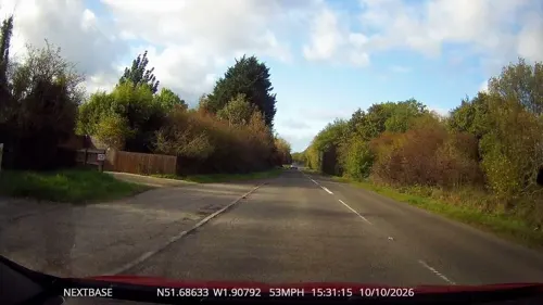
Corinium Dobunnorum
Monument and historic site · 3.2 mi
British settlement of the Roman Empire at Cirencester


Parks, trails and playgrounds6
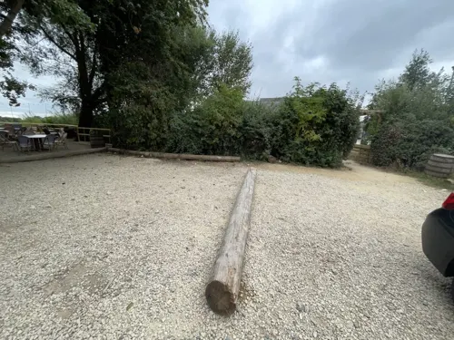

South Cerney Golf Course
Golf course · 0.7 mi
Northmoor Lane, Cirencester
Mo off; Sa-Su 07:00-18:00; Tu-Fr 07:30-19:00; PH 07:00-18:00



Restaurants and cafes18
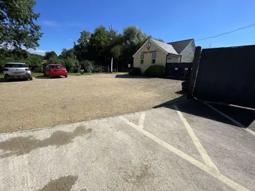
The Old Boathouse
Restaurant · Regional · 1.4 mi
Spine Road (East), Cirencester
Mo-Tu 17:00-23:00; We-Sa 12:00-23:00; Su 12:00-18:00


6 more on the map.
More about South Cerney
Arts and culture
The Village is home to an active theatre group called the South Cerney Players, as well as two active singing groups, Bluenotes and Singing for Fun.
From the Wikipedia article South Cerney, under CC BY-SA 4.0.
Notable people from South Cerney
- Grace Eleanor HadowBritish author, social worker and college head (1875-1940)
Born in South Cerney, according to Wikidata (CC0). Each name links to its Wikipedia article.
Where to stay2
De Vere Cotswold Water Park
Motel and hotel · 1.4 mi
Spine Road (East), Cirencester
Churches and places of worship8
Shopping4
Gas and EV charging2
Schools, colleges and libraries1
Healthcare2
Map of South Cerney
49 places. The map loads OpenStreetMap tiles when you open it.
Getting there and nearby towns
Cotswold Airport (GBA) is the nearest airport with scheduled flights listed in OpenStreetMap, 6 miles away.
- Ashton Keynes 2 mi south, about 3 min by car
- Cirencester 4 mi northwest, about 6 min by car
- Coates 5 mi northwest, about 8 min by car
- Broad Blunsdon 8 mi southeast, about 12 min by car
- Lydiard Millicent 8 mi south, about 12 min by car
- Royal Wootton Bassett 9 mi south, about 15 min by car
- Swindon 10 mi southeast, about 16 min by car
- Lechlade 10 mi east, about 17 min by car
- Avening 10 mi west, about 16 min by car
- Stroud 13 mi northwest, about 20 min by car
Drive times are estimates from straight-line distance, not routes.
Towns near South Cerney


Keep exploring
Local news
Headlines from INDB.
Reviews, tips and questions
Loading what members have shared...
Sources and licences
- GeoNames (CC BY 4.0): population, coordinates, regions and time zone
- Mapillary (see each image): photos
- OpenStreetMap contributors (ODbL 1.0): places, airports, map data
- Wikidata (CC0 1.0): elevation, founding date, time zone, website, landmarks and historic places
- Wikimedia Commons (see each image): photos
- Wikipedia (CC BY-SA 4.0): overview and history text
Photo credits
- Wayside cross, South Cerney, Herr Rott, CC BY-SA 4.0
- Roman mosaic, Corinium Museum, Cirencester, Tony Grist, Public domain
- All Saints Church Leigh Wiltshire, Roger Cornfoot, CC BY-SA 2.0
- Ampney Crucis church, Oosoom at English Wikipedia, CC BY-SA 3.0
- All Saints Church, Shorncote 1, Mcdssah3, CC BY-SA 4.0
- Cotswold Water Park Gateway EVSEs (March 2023), OrangeStarling1997, CC BY-SA 4.0
- Cotswold Water Park from the air 01, Rodw, CC BY-SA 4.0
- Street-level photo, 4004, CC BY-SA 4.0
- Street-level photo, 4004, CC BY-SA 4.0
- Street-level photo, swinetown, CC BY-SA 4.0
- Street-level photo, 4004, CC BY-SA 4.0
- Street-level photo, 4004, CC BY-SA 4.0
- Street-level photo, RyanBush, CC BY-SA 4.0
- Street-level photo, 4004, CC BY-SA 4.0
- Street-level photo, RyanBush, CC BY-SA 4.0
- Street-level photo, OrangeHurst97, CC BY-SA 4.0
- Street-level photo, OrangeHurst97, CC BY-SA 4.0
- Street-level photo, 4004, CC BY-SA 4.0
- Street-level photo, RyanBush, CC BY-SA 4.0
- Street-level photo, 4004, CC BY-SA 4.0
Page built November 10, 2026. Spotted a mistake? Tell us or suggest a place.