


Why visit Sway
Townapedia lists 7 museums and landmarks, 3 places to eat, 12 places to stay and 1 attraction in and around town.
Highlights include St Barbe Museum and Art Gallery and Buckland Rings.
Weather in Sway
Forecast from MET Norway (CC BY 4.0). Full forecast
About Sway
Sway is a village and civil parish in Hampshire in the New Forest national park in England. The civil parish was formed in 1879, when lands were taken from the extensive parish of Boldre. The village has shops and pubs, and a railway station on the South West Main Line from Weymouth and Bournemouth to Southampton and London Waterloo. It is the site of Sway Tower, a 66-metre (217 ft) concrete folly built in the 19th century.
From the Wikipedia article Sway, Hampshire (this version), under CC BY-SA 4.0.
Things to do1
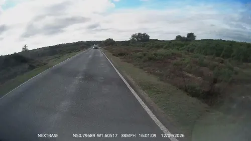
Museums and landmarks7

St Barbe Museum and Art Gallery
Museum · 3.3 mi
Museum in Lymington, United Kingdom
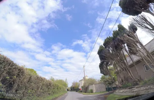
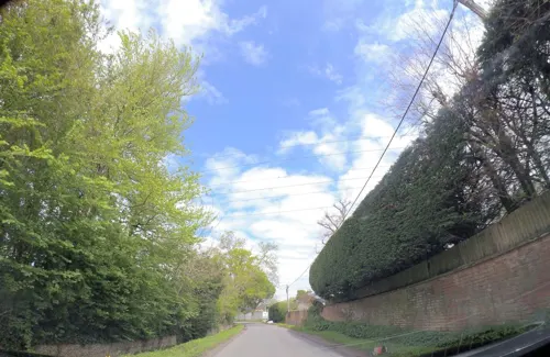

Buckland Rings
Monument and historic site · 2.4 mi
Hillfort in Hampshire, England, UK

Sammy Miller Motorcycle Museum
Museum · 3.4 mi
Motorcycle museum in New Milton, Hampshire
Restaurants and cafes3
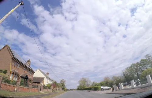


Where to stay12


History
Sway is a settlement of Anglo-Saxon origin, and its name, from the Old English name Svieia, means "noisy stream" which is a probable reference to the Avon Water. Stone Age implements have been found here and Bronze Age barrows containing funerary urns.
Sway is listed four times in the Domesday Book of 1086. Two hides were held from Roger de Montgomerie, 1st Earl of Shrewsbury, by Fulcoin and Nigel respectively. A certain Edmund at the same date was holding one hide in Sway which Algar had held from King Edward. Romsey Abbey also held one hide in Sway.
Some time before 1150 Hugh de Witteville gave "his whole land of Sway with its men and one mill" to Quarr Abbey, and about the same date Ralph Fulcher donated land at Sway to the same abbey. In the 13th century Christchurch Priory also gained land in Sway, which increased in the 14th century by the grant of land in Sway from John, vicar of Christchurch. Free warren in Sway was granted to the priory in 1384. Romsey Abbey also held land in Sway, afterwards known as the manor of Sway Romsey or South Sway. The Abbess of Romsey was holding land in Sway together with the Abbot of Quarr and the Prior of Christchurch in 1316.
Read more of the history
In 1543, at the time of the Dissolution of the Monasteries, the lands possessed by Quarr and Christchurch were granted to Sir John Williams and others, by whom it was subsequently conveyed to John Mill, the purchaser and grantee of much monastic property in the neighbourhood. The combined lands became known as the manor of Sway Quarr. The manor of Sway Romsey (South Sway) remained separate but were also granted at the Dissolution to Sir John Williams and henceforth had the same owners as Sway Quarr. The estate then followed the descent of Battramsley manor until 1627, when it was sold by George Wroughton to John Button of Buckland Lymington, and in 1670 he or his son appeared before the justice seat held at Lyndhurst as the lord of the manor of Sway. Before the end of the 17th century, however, it had passed to Edmund Dummer of Swaythling. It then passed by inheritance into the Bond family who held the estate down to the 19th century.
One other Domesday Book manor within the parish of Sway is known as Arnewood, which before 1066 had been held by Siward from Earl Tostig. The estate seems to have belong to Christchurch Manor in the 13th and 14th centuries, although one small part of it was held differently and later became joined to the nearby manor of Ashley to become "Ashley Arnewood". In 1384 the Earl of Salisbury and lord of Christchurch sold the manor of Arnewood to Thomas Street. The manor passed through various hands in the following centuries, but by the 19th century it belonged, like the other manors of Sway, to the Bond family.
St Luke's Church was built in 1839. The ecclesiastical parish of Sway was created in 1841. The civil parish of Sway was formed in 1879, when 2,200 acres (8.9 km2) were taken from the extensive parish of Boldre. The railway came to Sway in 1888, when Sway railway station was built.
In the village was Arnewood House (now destroyed by fire) which was the home of the Children of the New Forest in Captain Marryat's book. Marryat also used the surrounding countryside as the setting for the book.
In World War II, an Emergency Landing Ground for aircraft opened in August 1940, when farmland was levelled and cleared just south of the village. It was used by aircraft based at RAF Christchurch for overnight stays to protect them from German attack at Christchurch. The airstrip was also intended to be a decoy airfield intended to trick the Luftwaffe into bombing it; this happened on several occasions. In October 1941, the site was closed and returned to farmland.
From the History section of Sway, Hampshire on Wikipedia, under CC BY-SA 4.0.
Churches and places of worship2
Schools, colleges and libraries1
Map of Sway
26 places. The map loads OpenStreetMap tiles when you open it.
Getting there and nearby towns
Bournemouth Airport (BOH) is the nearest airport with scheduled flights listed in OpenStreetMap, 11 miles away.
- New Milton 3 mi southwest, about 6 min by car
- Lymington 3 mi southeast, about 5 min by car
- Burley 5 mi northwest, about 8 min by car
- Christchurch 9 mi southwest, about 14 min by car
- Ringwood 9 mi northwest, about 15 min by car
- Totton 10 mi northeast, about 17 min by car
- Hythe 10 mi northeast, about 16 min by car
- Southampton 12 mi northeast, about 19 min by car
- Bournemouth 13 mi west, about 21 min by car
- Ferndown 13 mi west, about 21 min by car
Drive times are estimates from straight-line distance, not routes.
Towns near Sway


Keep exploring
Local news
Headlines from INDB.
Reviews, tips and questions
Loading what members have shared...
Sources and licences
- GeoNames (CC BY 4.0): population, coordinates, regions and time zone
- Mapillary (see each image): photos
- OpenStreetMap contributors (ODbL 1.0): places, airports, map data
- Wikidata (CC0 1.0): elevation, founding date, time zone, website, landmarks and historic places
- Wikimedia Commons (see each image): photos
- Wikipedia (CC BY-SA 4.0): overview and history text
Photo credits
- Circular building Sway, DrThneed, CC BY 4.0
- Lymington Parish Church, Dave Pape, Public domain
- St. Barbe Museum & Art Gallery - School Lane, Lymington (9188152788), Elliott Brown from Birmingham, United Kingdom, CC BY 2.0
- Street-level photo, 4004, CC BY-SA 4.0
- Street-level photo, OrangeHurst97, CC BY-SA 4.0
- Street-level photo, 4004, CC BY-SA 4.0
- Street-level photo, 4004, CC BY-SA 4.0
Page built November 10, 2026. Spotted a mistake? Tell us or suggest a place.