


Tolleshunt Knights, United Kingdom
Tolleshunt Knights is a town of 1,030 people in England, United Kingdom.
Why visit Tolleshunt Knights
Townapedia lists 2 museums and landmarks, 6 parks and trails and 12 places to eat in and around town.
Highlights include Layer Marney Tower, Tiptree Jam Museum, Abbotts Hall Farm and Oxley Meadow.
Weather in Tolleshunt Knights
Forecast from MET Norway (CC BY 4.0). Full forecast
About Tolleshunt Knights
Tolleshunt Knights is a village and civil parish in the Maldon District of Essex, England. At the 2021 census the parish had a population of 1,059.
From the Wikipedia article Tolleshunt Knights (this version), under CC BY-SA 4.0.
Museums and landmarks2

Layer Marney Tower
Museum · 1.9 mi
Grade I listed country house in Layer Marney, Essex, England, UK
Parks, trails and playgrounds6



Tiptree Heath Nature Reserve
Park · 2.1 mi
Essex Wildlife Trust Nature reserve

Restaurants and cafes12
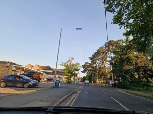
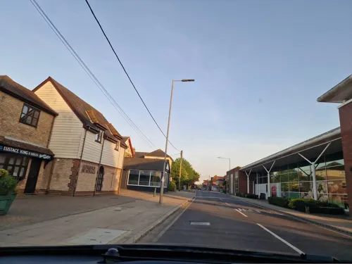
Bar.B.Q.House
Fast food · Kebab · 1.3 mi
Church Road, Tiptree
Mo-Th 12:00-22:30; Fr-Sa 12:00-23:30
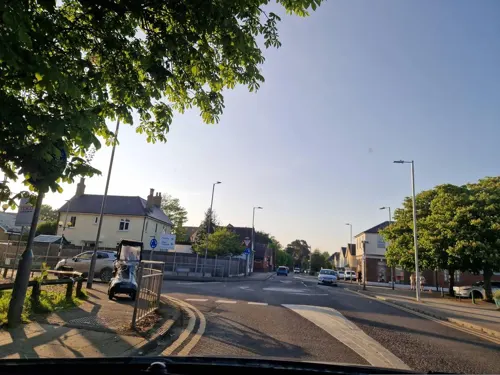
Pizza Town Kabab House
Fast food · Pizza · 1.4 mi
Church Road, Tiptree
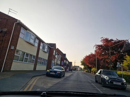
Tiptree Spice
Fast food · Indian, Bangladeshi · 1.2 mi
126 Church Road, Tiptree
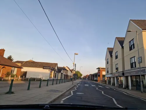
Gardenia Chinese Takeaway
Fast food · 1.3 mi
Church Road, Tiptree
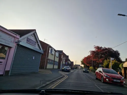
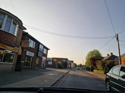



Bills Plaice
Fast food · Fish And Chips · 1.5 mi
49 Church Road, Tiptree
Churches and places of worship4
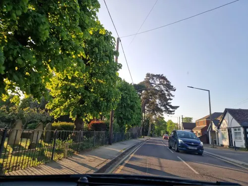
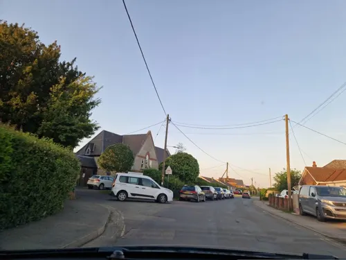
Tiptree United Reformed Church
Church · United Reformed · 1.1 mi
Chapel Road, Tiptree

Church of St Mary the Virgin, Layer Marney
Church · 1.8 mi
Church in Layer Marney, Essex, England, UK
Monastery of St. John the Baptist
Church · Orthodox
Rectory Road, Tolleshunt Knights
History
The name Tolleshunt originates from the Anglo-Saxon Tolleshunta which means Toll's spring. Toll was an Anglo-Saxon chief who settled in large areas of forest, establishing clearings where water was readily available, and Tolleshunt Knights is one of a group of four resulting villages (Tolleshunt Major, Tolleshunt D'Arcy, Tollesbury Knights and Tollesbury), three of which bear the surnames of their early Norman French landowners (the Majeur, D'Arcy and Le Chevalier families).
Prior to the parish of Tiptree being created in 1934, much of the Tiptree Heath area was within the parish of Tolleshunt Knights.
From the History section of Tolleshunt Knights on Wikipedia, under CC BY-SA 4.0.
Shopping7
Gas and EV charging1
Schools, colleges and libraries2
St Luke's Church of England Controlled Primary School
School · Anglican · 1.5 mi
66 Church Road, Tiptree
Healthcare3
Map of Tolleshunt Knights
37 places. The map loads OpenStreetMap tiles when you open it.
Getting there and nearby towns
London Southend Airport (SEN) is the nearest airport with scheduled flights listed in OpenStreetMap, 16 miles away.
- Witham 6 mi west, about 9 min by car
- Maldon 6 mi southwest, about 10 min by car
- Colchester 8 mi northeast, about 13 min by car
- Braintree 11 mi northwest, about 18 min by car
- Halstead 12 mi northwest, about 19 min by car
- Chelmsford 14 mi west, about 22 min by car
- Rochford 15 mi south, about 25 min by car
- Clacton-on-Sea 16 mi east, about 26 min by car
- Rayleigh 16 mi southwest, about 26 min by car
- Southend-on-Sea 18 mi south, about 29 min by car
Drive times are estimates from straight-line distance, not routes.
Towns near Tolleshunt Knights


Keep exploring
Local news
Headlines from INDB.
Reviews, tips and questions
Loading what members have shared...
Sources and licences
- GeoNames (CC BY 4.0): population, coordinates, regions and time zone
- Mapillary (see each image): photos
- OpenStreetMap contributors (ODbL 1.0): places, airports, map data
- Wikidata (CC0 1.0): elevation, founding date, time zone, website, landmarks and historic places
- Wikimedia Commons (see each image): photos
- Wikipedia (CC BY-SA 4.0): overview and history text
Photo credits
- Layer Marney gatehouse 03, Poliphilo, CC0
- Oxley Meadow 1, Dudley Miles, CC BY-SA 4.0
- Tiptree Parish Field 4, Dudley Miles, CC BY-SA 4.0
- Street-level photo, edloach, CC BY-SA 4.0
- Street-level photo, edloach, CC BY-SA 4.0
- Street-level photo, edloach, CC BY-SA 4.0
- Street-level photo, edloach, CC BY-SA 4.0
- Street-level photo, edloach, CC BY-SA 4.0
- Street-level photo, edloach, CC BY-SA 4.0
- Street-level photo, edloach, CC BY-SA 4.0
- Street-level photo, edloach, CC BY-SA 4.0
- Street-level photo, edloach, CC BY-SA 4.0
- Street-level photo, edloach, CC BY-SA 4.0
- Street-level photo, edloach, CC BY-SA 4.0
- Street-level photo, edloach, CC BY-SA 4.0
- Street-level photo, edloach, CC BY-SA 4.0
- Street-level photo, edloach, CC BY-SA 4.0
- Street-level photo, edloach, CC BY-SA 4.0
- Street-level photo, edloach, CC BY-SA 4.0
- Street-level photo, edloach, CC BY-SA 4.0
- Street-level photo, edloach, CC BY-SA 4.0
- Street-level photo, edloach, CC BY-SA 4.0
- Street-level photo, edloach, CC BY-SA 4.0
Page built November 10, 2026. Spotted a mistake? Tell us or suggest a place.