


Why visit Totland
Townapedia lists 11 museums and landmarks, 5 parks and trails, 26 places to eat, 22 places to stay and 5 attractions in and around town.
Highlights include Hurst Point Lighthouse, Needles Lighthouse, Dimbola Museum and Galleries and HMS Pomone.
Weather in Totland
Forecast from MET Norway (CC BY 4.0). Full forecast
About Totland
Totland is a village, civil parish and electoral ward on the Isle of Wight. Besides the village of Totland, the civil parish comprises the western tip of the Isle of Wight, and includes The Needles, Tennyson Down and the hamlet of Middleton.
From the Wikipedia article Totland (this version), under CC BY-SA 4.0.
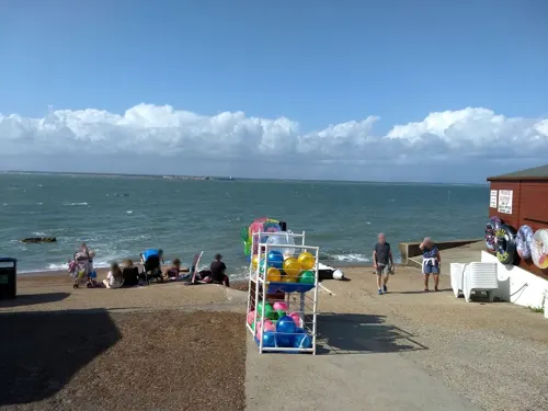
Photos of Totland


Things to do5

Hurst Point Lighthouse
Lighthouse · 1.7 mi
Lighthouse on the Solent, in Hampshire, England, UK

Needles Lighthouse
Lighthouse · 2.9 mi
Lighthouse at the Needles, Isle of Wight, England, UK


Museums and landmarks11


HMS Pomone
Monument and historic site · 2.8 mi
1805 Leda-class fifth-rate frigate

Yarmouth Roads Wreck
Monument and historic site · 2.5 mi
Shipwreck near Yarmouth, Isle of Wight, England, UK



HMS Assurance
Monument and historic site · 2.7 mi
1747 fifth-rate frigate
Parks, trails and playgrounds5



Restaurants and cafes26
Freshwater Coffee House
Cafe · 0.5 mi
5 School Green Road, Freshwater
Mo-Fr 09:00-16:00; Sa 09:00-14:00
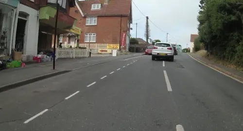
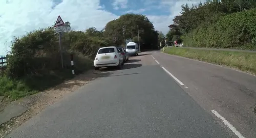
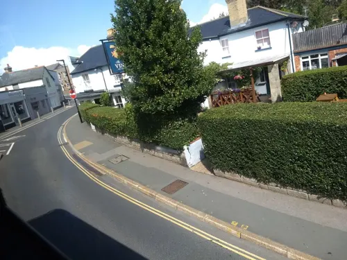

14 more on the map.
Where to stay22
Churches and places of worship13
Kingdom Hall of Jehovah's Witnesses
Church · Jehovahs Witness
Granville Rise, Totland
Shopping9
Gas and EV charging2
Schools, colleges and libraries3
Freshwater & Yarmouth Church of England Aided Primary School
School · Anglican · 0.7 mi
79 School Green Road, Freshwater
Healthcare4
Map of Totland
100 places. The map loads OpenStreetMap tiles when you open it.
Getting there and nearby towns
Bournemouth Airport (BOH) is the nearest airport with scheduled flights listed in OpenStreetMap, 15 miles away.
- Lymington 5 mi north, about 8 min by car
- New Milton 7 mi northwest, about 12 min by car
- Brighstone 7 mi southeast, about 11 min by car
- Sway 8 mi north, about 12 min by car
- Newport 11 mi east, about 17 min by car
- Christchurch 11 mi west, about 18 min by car
- Cowes 12 mi northeast, about 19 min by car
- Hythe 13 mi northeast, about 22 min by car
- Bournemouth 15 mi west, about 24 min by car
- Southampton 16 mi north, about 26 min by car
Drive times are estimates from straight-line distance, not routes.
Towns near Totland


Keep exploring
Local news
Headlines from INDB.
Reviews, tips and questions
Loading what members have shared...
Sources and licences
- GeoNames (CC BY 4.0): population, coordinates, regions and time zone
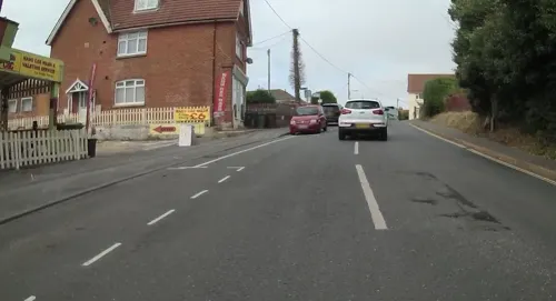
- Mapillary (see each image): photos
- OpenStreetMap contributors (ODbL 1.0): places, airports, map data
- Wikidata (CC0 1.0): elevation, founding date, time zone, website, landmarks and historic places
- Wikimedia Commons (see each image): photos
- Wikipedia (CC BY-SA 4.0): overview and history text
Photo credits
- Totland, IW, UK, Mypix, CC BY-SA 4.0
- Hurst castle lighthouse, Hertzsprung, CC BY-SA 3.0
- Isles of Wight - the Needles 05, Christophe.Finot, CC BY-SA 2.5
- HMS Pomone, G.F. St. John, Public domain
- Yarmouth Church, Editor5807, Public domain
- St Swithun's Church, Thorley Road, Thorley (May 2016) (10), Hassocks5489, CC0
- Dimbola Lodge, Editor5807, Public domain
- Fort Redoubt at Freshwater Bay, Editor5807, Public domain
- Golden Hill Fort, Warren Whyte, CC BY-SA 4.0
- Tennyson Down towards Freshwater, R MORGAN, CC BY 3.0
- Former Roman Catholic Chapel at Weston Manor, Moon's Hill, Totland (May 2016) (1), Hassocks5489, CC0
- Tennyson Monument, Tennyson Down, Isle of Wight, England, ITookSomePhotos, CC BY-SA 4.0
- Freshwater Bay, IW, UK, Mypix, CC BY-SA 4.0
- All Saints' Church, Freshwater, Isle of Wight, England 02, ITookSomePhotos, CC BY-SA 4.0
- St. Agnes's Church, Freshwater 2019-05-30, August Schwerdfeger, CC BY 4.0
- Yarmouth Roads Wreck Buoy, Geni, CC BY-SA 4.0
- Southern Vectis 1102 HW08 AOR interior 3, Arriva436, CC BY-SA 3.0
- Above Colwell Bay (10004830123), Thomas from Switzerland, CC BY 2.0
- Street-level photo, onthewight, CC BY-SA 4.0
- Street-level photo, jpennycook, CC BY-SA 4.0
- Street-level photo, jpennycook, CC BY-SA 4.0
- Street-level photo, jpennycook, CC BY-SA 4.0
- Street-level photo, mappernerd, CC BY-SA 4.0
- Street-level photo, jpennycook, CC BY-SA 4.0
- Street-level photo, mappernerd, CC BY-SA 4.0
- Street-level photo, jpennycook, CC BY-SA 4.0
- Street-level photo, mappernerd, CC BY-SA 4.0
- Street-level photo, mappernerd, CC BY-SA 4.0
- Street-level photo, jpennycook, CC BY-SA 4.0
- Street-level photo, mappernerd, CC BY-SA 4.0
- Street-level photo, jpennycook, CC BY-SA 4.0
- Street-level photo, jpennycook, CC BY-SA 4.0
- Street-level photo, mappernerd, CC BY-SA 4.0
- Street-level photo, jpennycook, CC BY-SA 4.0
- Street-level photo, mappernerd, CC BY-SA 4.0
- Street-level photo, mappernerd, CC BY-SA 4.0
- Street-level photo, jpennycook, CC BY-SA 4.0
- Street-level photo, mappernerd, CC BY-SA 4.0
- Street-level photo, mappernerd, CC BY-SA 4.0
- Street-level photo, mappernerd, CC BY-SA 4.0
- Street-level photo, mappernerd, CC BY-SA 4.0
- Street-level photo, mappernerd, CC BY-SA 4.0
- Street-level photo, mappernerd, CC BY-SA 4.0
- Street-level photo, jpennycook, CC BY-SA 4.0
- Street-level photo, jpennycook, CC BY-SA 4.0
- Street-level photo, jpennycook, CC BY-SA 4.0
- Street-level photo, jpennycook, CC BY-SA 4.0
- Street-level photo, mappernerd, CC BY-SA 4.0
- Street-level photo, jpennycook, CC BY-SA 4.0
- Street-level photo, mappernerd, CC BY-SA 4.0


Page built November 10, 2026. Spotted a mistake? Tell us or suggest a place.