


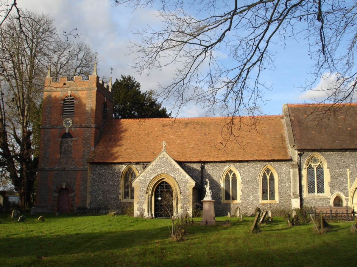

Streatley, United Kingdom
Streatley is a town of 1,060 people in England, United Kingdom.
Why visit Streatley
Townapedia lists 5 museums and landmarks, 13 parks and trails, 15 places to eat, 2 places to stay and 6 attractions in and around town.
Highlights include Gatehampton Railway Bridge, Goring and Streatley Bridge, Basildon Park and Cleeve Mill.
Weather in Streatley
Forecast from MET Norway (CC BY 4.0). Full forecast
About Streatley
Streatley is a village and civil parish on the River Thames in Berkshire, England. The village faces Goring-on-Thames. The two places share in their shops, services, leisure, sports and much of their transport. Across the river is Goring & Streatley railway station and the village cluster adjoins a lock and weir.
From the Wikipedia article Streatley, Berkshire (this version), under CC BY-SA 4.0.
Things to do6

Gatehampton Railway Bridge
Bridge · 1.2 mi
Railway bridge in Lower Basildon, Berkshire, England, UK


Moulsford Railway Bridge
Bridge · 2.4 mi
Railway bridge in Oxfordshire, England, UK

Whitchurch Bridge
Bridge · 3.7 mi
Bridge between West Berkshire and South Oxfordshire, England,UK

Museums and landmarks5

Basildon Park
Museum · 2.0 mi
Grade I listed historic house museum in West Berkshire, England, UK

Parks, trails and playgrounds13

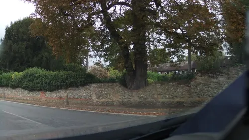


Cholsey Marsh
Park · 3.0 mi
Nature reserve near Cholsey, Oxfordshire, England



1 more on the map.
Restaurants and cafes15
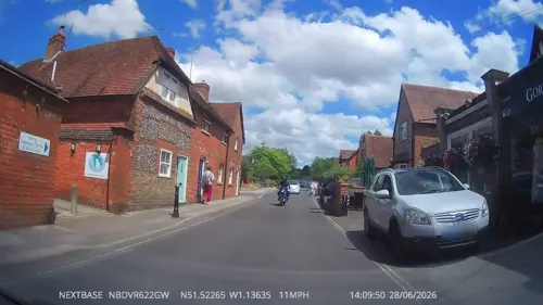
Masoom's Tandoori Restaurant
Restaurant · Indian · 0.6 mi
High Street, Goring
Mo-Th 17:30-23:00,12:00-14:30; Fr 17:30-23:00; Sa-Su...
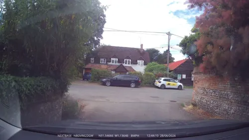
The Perch & Pike
Bar and pub · 1.7 mi
The Street, South Stoke
Mo-Fr 11:30-15:00,17:00-23:00; Sa 11:00-23:00; Su 11:30-21:00
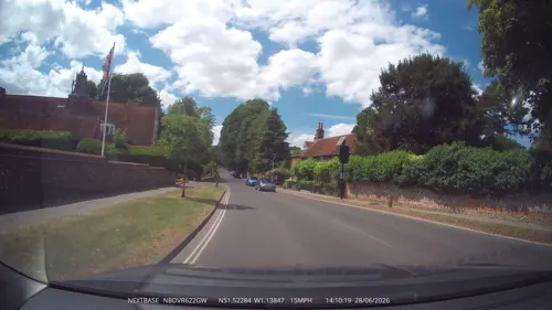
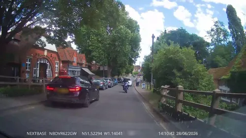
Pierreponts
Cafe · 0.4 mi
High Street
Mo off; Tu-Fr 08:00-16:00; Sa 09:00-17:00; Su 10:00-16:00
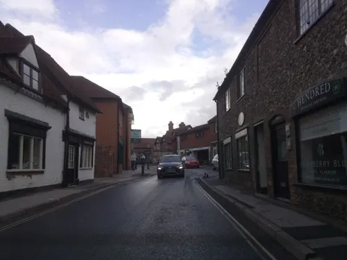


3 more on the map.
History
Being in such a vital crossing point on the Thames, a settlement at Streatley has existed for a long time. The village is mentioned in the Domesday Book. Neolithic tools have been found at the base of Lough Down and Bronze Age artefacts in the village. A sarsen stone, traditionally thought to be the remains of a Roman milestone, is still present at the Bull crossroads. Long before the bridge was built a ferry used to operate between the two villages. Sixty people were drowned at Streatley in 1674 when a ferry capsized in the flash lock. The iron wheel pump, on the forecourt of The Bull, was the only reliable water source in the great freeze of 1895, and water was sold from this point for sixpence a bucket.
Read more of the history
Two-thirds of Streatley used to be owned by the Morrell family of brewers from Oxford, whose resistance to change enabled the village to withstand the railway line and extra houses that went to Goring-on-Thames. The watermill was originally owned by the nuns of Goring. In later years it was used to drive a generator to provide electricity for the estate. However, it burned down in 1926 and was not rebuilt. On the death of Emily Morrell, in 1938, the estate was sold, and the manor house and some other houses in the village became part of the Royal Veterinary College, which had moved out of London during The Blitz. The college left in 1958. A bomb exploded in a postman's bag on a bicycle in the village in 1979. It was targeted at a retired judge in the village, but went off early, when the postman's bicycle fell over. The incident appeared to be the work of the IRA.
From the History section of Streatley, Berkshire on Wikipedia, under CC BY-SA 4.0.
Notable people from Streatley
 Henry ReadeEnglish cricketer, clergyman and educator (1840-1884)Photo: Unknown photographer before 1884, CC BY-SA 4.0
Born in Streatley, according to Wikidata (CC0). Each name links to its Wikipedia article.
Where to stay2
Churches and places of worship8
Shopping7
Gas and EV charging1
Schools, colleges and libraries6
Healthcare1
Map of Streatley
64 places. The map loads OpenStreetMap tiles when you open it.
Getting there and nearby towns
RAF Benson (BEX) is the nearest airport with scheduled flights listed in OpenStreetMap, 7 miles away.
- Wallingford 5 mi north, about 9 min by car
- Didcot 7 mi northwest, about 12 min by car
- Reading 9 mi southeast, about 14 min by car
- Thatcham 10 mi southwest, about 15 min by car
- Newbury 11 mi southwest, about 18 min by car
- Henley-on-Thames 11 mi east, about 17 min by car
- Abingdon 12 mi northwest, about 19 min by car
- Lower Earley 12 mi southeast, about 19 min by car
- Tadley 12 mi south, about 19 min by car
- Wantage 13 mi west, about 20 min by car
Drive times are estimates from straight-line distance, not routes.
Towns near Streatley


Keep exploring
Local news
Headlines from INDB.
Reviews, tips and questions
Loading what members have shared...
Sources and licences
- GeoNames (CC BY 4.0): population, coordinates, regions and time zone
- Mapillary (see each image): photos
- OpenStreetMap contributors (ODbL 1.0): places, airports, map data
- Wikidata (CC0 1.0): elevation, founding date, time zone, website, landmarks and historic places
- Wikimedia Commons (see each image): photos
- Wikipedia (CC BY-SA 4.0): overview and history text
Photo credits
- 2008-05 Gatehampton Railway Bridge, Nancy, CC BY-SA 3.0
- GoringBridge01, Motmit, CC BY-SA 3.0
- Moulsford Viaduct 09, Simon Burchell, CC BY-SA 4.0
- Basildon House. - panoramio, grumpylumixuser, CC BY 3.0
- St Bartholomew's Church, Lower Basildon, MalcolmGould at English Wikipedia, CC BY-SA 3.0
- 2347 QS Cranford House 284 low res, Cranford House, CC BY 4.0
- St Thomas of Canterbury, Goring, Murgatroyd49, CC BY-SA 4.0
- St. Andrews Church, South Stoke, Oxfordshire, UKgeofan, CC BY-SA 3.0
- Moulsford01, Motmit, CC BY-SA 3.0
- St Mary's C Of E Church, Streatley, Berkshire, Mariegriffiths, CC BY-SA 4.0
- Hartslock 03, Chris j wood, CC BY-SA 4.0
- Uk-whitchurch-bridge, The original uploader was Chris j wood at English Wikipedia ., CC BY-SA 4.0
- Street-level photo, swinetown, CC BY-SA 4.0
- Street-level photo, swinetown, CC BY-SA 4.0
- Street-level photo, swinetown, CC BY-SA 4.0
- Street-level photo, swinetown, CC BY-SA 4.0
- Street-level photo, southglos, CC BY-SA 4.0
- Street-level photo, swinetown, CC BY-SA 4.0
- Street-level photo, swinetown, CC BY-SA 4.0
- Street-level photo, southglos, CC BY-SA 4.0
- Street-level photo, RyanBush, CC BY-SA 4.0
- Street-level photo, swinetown, CC BY-SA 4.0
- Street-level photo, southglos, CC BY-SA 4.0
- Street-level photo, southglos, CC BY-SA 4.0
- Street-level photo, southglos, CC BY-SA 4.0
- Street-level photo, southglos, CC BY-SA 4.0
- Street-level photo, southglos, CC BY-SA 4.0
- Street-level photo, southglos, CC BY-SA 4.0


Page built November 10, 2026. Spotted a mistake? Tell us or suggest a place.