


Why visit Warmley
Townapedia lists 3 museums and landmarks, 23 parks and trails, 71 places to eat, 1 place to stay and 5 attractions in and around town.
Highlights include Warmley Signal Box, Glenside Hospital Museum, Avon Valley Country Park and Netham Park.
Weather in Warmley
Forecast from MET Norway (CC BY 4.0). Full forecast
About Warmley
Warmley is a village in the South Gloucestershire district in the ceremonial county of Gloucestershire, England.
From the Wikipedia article Warmley (this version), under CC BY-SA 4.0.
Photos of Warmley


Things to do5


Warmley Hill
Scenic view · 0.7 mi
Not a "peak", just halfway up the hill between Warmley (50 m) and Kingswood (110 m).
Museums and landmarks3


Glenside Hospital Museum
Museum · 3.3 mi
Hospital museum in Stapleton, Bristol, United Kingdom
Parks, trails and playgrounds23


Page Park
Park · 1.7 mi
Park in Staple Hill, South Gloucestershire, United Kingdom





11 more on the map.
Restaurants and cafes71
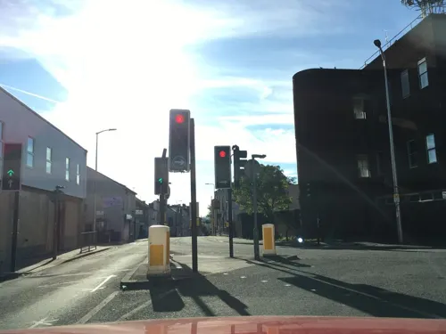
Kings Tandoori
Restaurant · Indian · 1.2 mi
27 High Street, Kingswood
Mo-Th 17:30-23:00; Fr-Sa 17:00-23:30; Su 17:30-23:00
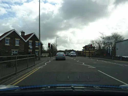
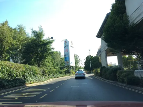
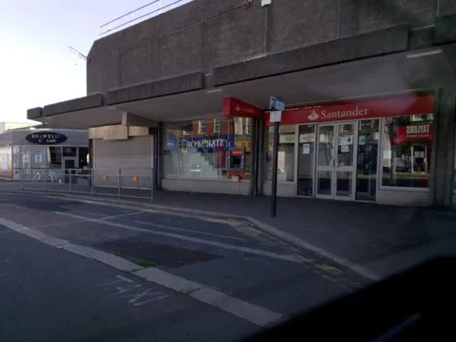



59 more on the map.
Where to stay1
Churches and places of worship25
Shopping9
Gas and EV charging2
Schools, colleges and libraries24
Healthcare6
Map of Warmley
169 places. The map loads OpenStreetMap tiles when you open it.
Getting there and nearby towns
Bristol Airport (BRS) is the nearest airport with scheduled flights listed in OpenStreetMap, 12 miles away.
- Kingswood 1 mi west, about 2 min by car
- Mangotsfield 2 mi northwest, about 4 min by car
- Keynsham 3 mi south, about 5 min by car
- Bristol 5 mi west, about 8 min by car
- Stoke Gifford 5 mi northwest, about 8 min by car
- Yate 6 mi northeast, about 10 min by car
- Bath 8 mi southeast, about 12 min by car
- Thornbury 10 mi north, about 17 min by car
- Nailsea 12 mi west, about 20 min by car
- Midsomer Norton 12 mi south, about 19 min by car
Drive times are estimates from straight-line distance, not routes.
Towns near Warmley


Keep exploring
Local news
Headlines from INDB.
Reviews, tips and questions
Loading what members have shared...
Sources and licences
- GeoNames (CC BY 4.0): population, coordinates, regions and time zone
- Mapillary (see each image): photos
- OpenStreetMap contributors (ODbL 1.0): places, airports, map data
- Wikidata (CC0 1.0): elevation, founding date, time zone, website, landmarks and historic places
- Wikimedia Commons (see each image): photos
- Wikipedia (CC BY-SA 4.0): overview and history text
Photo credits
- War Memorial, Warmley. - panoramio, Bob&Anne Powell, CC BY-SA 3.0
- Former Bank, Warmley. - panoramio, Robert Powell, CC BY-SA 3.0
- Former Waiting Room, Warmley Station. - panoramio, Robert Powell, CC BY-SA 3.0
- Jerusalem cross, Silene chalcedonica, Warmley Wheelers, Ultimateplantman, CC BY-SA 4.0
- Fallow deer arp, Adrian Pingstone, Public domain
- OldburyCourtDam, William Avery, CC BY-SA 3.0
- Snuff Mills restored mill, William Avery, CC BY-SA 3.0
- St John the Baptist, Keynsham, tower end, Rwendland, CC BY-SA 3.0
- Stmatthias, The original uploader was Rodw at English Wikipedia ., Public domain
- Original Whitfield Tabernacle (Derelict) 1741. - panoramio, Bob&Anne Powell, CC BY-SA 3.0
- Kingswoodchurch, Rod Ward, Public domain
- St. Barnabas Church, Warmley. - panoramio, Bob & Anne Powell, CC BY-SA 3.0
- Church of the Ascension, Hanham - panoramio, Robert Powell, CC BY-SA 3.0
- Troopers Hill 24.07.2012 03, Janusz Jankowski, CC BY-SA 3.0
- Long shot of the bench (OpenBenches 2546-1), RichardLucking, CC BY-SA 4.0
- Close-up of the inscription (OpenBenches 2546), RichardLucking, CC BY-SA 4.0
- Warmley Signal Box. - panoramio, Bob&Anne Powell, CC BY-SA 3.0
- Big sky over Netham Park (4967382500), Andrew Bennett from Bristol, UK, CC BY 2.0
- Clock Tower, Page Park. - panoramio, Robert Powell, CC BY-SA 3.0
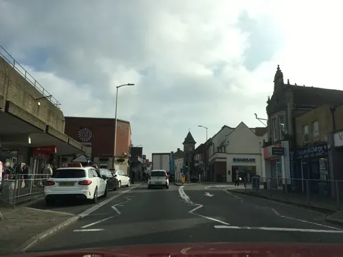
- Street-level photo, southglos, CC BY-SA 4.0
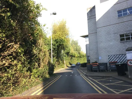
- Street-level photo, zymurgic, CC BY-SA 4.0
- Street-level photo, southglos, CC BY-SA 4.0
- Street-level photo, zymurgic, CC BY-SA 4.0
- Street-level photo, southglos, CC BY-SA 4.0
- Street-level photo, southglos, CC BY-SA 4.0
- Street-level photo, southglos, CC BY-SA 4.0
- Street-level photo, milliams, CC BY-SA 4.0
- Street-level photo, southglos, CC BY-SA 4.0
- Street-level photo, southglos, CC BY-SA 4.0
- Street-level photo, southglos, CC BY-SA 4.0
- Street-level photo, southglos, CC BY-SA 4.0
- Street-level photo, southglos, CC BY-SA 4.0
- Street-level photo, southglos, CC BY-SA 4.0
- Street-level photo, southglos, CC BY-SA 4.0
- Street-level photo, southglos, CC BY-SA 4.0


Page built November 10, 2026. Spotted a mistake? Tell us or suggest a place.