


Why visit Hartley
Townapedia lists 1 museum or landmark, 9 parks and trails and 26 places to eat in and around town.
Highlights include Beacon Wood Country Park and Camer Park Country Park.
Weather in Hartley
Forecast from MET Norway (CC BY 4.0). Full forecast
About Hartley
Hartley is a village and civil parish in the Sevenoaks district of Kent, England. It is located 7 miles (11 km) south west of Gravesend and the same distance south east of Dartford.
From the Wikipedia article Hartley, Sevenoaks (this version), under CC BY-SA 4.0.
Museums and landmarks1
Parks, trails and playgrounds9






Restaurants and cafes26
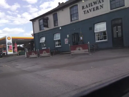
Railway Tavern
Bar and pub · British · 0.8 mi
2 Station Road, Longfield
Mo,Tu,Su 12:00-21:00; We,Th 12:00-22:30; Fr,Sa 12:00-23:30
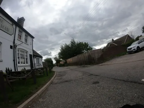
The Green Man
Bar and pub · 1.3 mi
Longfield Road, Longfield
Mo-We 12:00-22:00; Th-Sa 12:00-23:00; Su 12:00-22:00
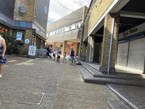


Bistro Marie
Cafe · 0.7 mi
42 Station Road, Longfield
Mo off; Tu 15:00-21:00; We 15:00-23:00; Th 15:00-23:30; Fr...

China Wei
Restaurant · Chinese · 0.7 mi
71 Station Road, Longfield
14 more on the map.
Churches and places of worship4


History
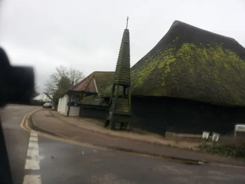
The village of Hartley is recorded as Erclei in the Domesday Book of 1086, with a population of 15 families and 3 slaves. The name Hartley means "place in the wood where the deer are". The parish church of All Saints dates from the early 12th century, although it probably replaced an earlier Anglo-Saxon building.
On 28 January 1554, during Wyatt's Rebellion against Queen Mary, a rebel force of about 500 men led by Henry Isley clashed with a similar-sized loyal force led by Lord Abergavenny and Sir Robert Southwell, at Wrotham Hill. After a running battle over about four miles, the rebels made their last stand at Hartley Wood, where they were defeated.
By 1872, there were 47 houses in Hartley with a population of 244. Some local farms specialised in hop growing. A National School was built in the village in 1841; it was rebuilt in 1960 on a new site.
The opening nearby of Longfield railway station in 1872 began the evolution of the village from an agricultural to a commuter community. Just before World War I, two agricultural estates were purchased by a property developer and sold off in small plots for new houses and bungalows. In 1944 Government plans for a major London overspill town based on Hartley/Longfield/Meopham were developed, which ultimately came to nothing. However major housing developments at New Ash Green in the 1960s and Wellfield in the 1970s continued the trend.
Read more of the history
The parish was part of Axstane Hundred and later Dartford Rural District until 1974, when it joined the new Sevenoaks District. Since 2024, it has been part of the parliamentary constituency of Tonbridge.
From the History section of Hartley, Sevenoaks on Wikipedia, under CC BY-SA 4.0.
Notable people from Hartley
 Mike WoodinBritish politician (1965-2004)Photo: Usernamear, CC BY-SA 4.0
- HRVYBritish singer
Born in Hartley, according to Wikidata (CC0). Each name links to its Wikipedia article.
Shopping5
Gas and EV charging1
Schools, colleges and libraries21
Langafel Church of England Voluntary Controlled Primary School
School · Anglican · 0.8 mi
Main Road, Longfield
Healthcare5
Map of Hartley
72 places. The map loads OpenStreetMap tiles when you open it.
Getting there and nearby towns
Rochester Airport (RCS) is the nearest airport with scheduled flights listed in OpenStreetMap, 9 miles away.
- Longfield 1 mi north, about 1 min by car
- Swanscombe 4 mi north, about 7 min by car
- Swanley 6 mi west, about 9 min by car
- Tilbury 6 mi northeast, about 9 min by car
- Snodland 7 mi southeast, about 12 min by car
- Bexley 8 mi northwest, about 12 min by car
- South Ockendon 8 mi north, about 14 min by car
- Rochester 9 mi east, about 14 min by car
- Orpington 9 mi west, about 14 min by car
- Sevenoaks 9 mi southwest, about 15 min by car
Drive times are estimates from straight-line distance, not routes.
Towns near Hartley


Keep exploring
Local news
Headlines from INDB.
Reviews, tips and questions
Loading what members have shared...
Sources and licences
- GeoNames (CC BY 4.0): population, coordinates, regions and time zone
- Mapillary (see each image): photos
- OpenStreetMap contributors (ODbL 1.0): places, airports, map data
- Wikidata (CC0 1.0): elevation, founding date, time zone, website, landmarks and historic places
- Wikimedia Commons (see each image): photos
- Wikipedia (CC BY-SA 4.0): overview and history text
Photo credits
- Longfield Chalk Bank 4, Dudley Miles, CC BY-SA 4.0
- Rectory Meadow 8, Dudley Miles, CC BY-SA 4.0
- Church of St Mary, Fawkham, Kent, Glen, CC BY 2.0
- Longfield library (8296578773), JuliaC2006 from Rochester, UK, CC BY 2.0
- Street-level photo, southglos, CC BY-SA 4.0
- Street-level photo, southglos, CC BY-SA 4.0
- Street-level photo, paulbiv, CC BY-SA 4.0
- Street-level photo, southglos, CC BY-SA 4.0
- Street-level photo, southglos, CC BY-SA 4.0
- Street-level photo, wasd42, CC BY-SA 4.0
- Street-level photo, paulbiv, CC BY-SA 4.0
- Street-level photo, paulbiv, CC BY-SA 4.0
- Street-level photo, southglos, CC BY-SA 4.0
- Street-level photo, southglos, CC BY-SA 4.0
- Street-level photo, wasd42, CC BY-SA 4.0
- Street-level photo, southglos, CC BY-SA 4.0
- Street-level photo, southglos, CC BY-SA 4.0
- Street-level photo, southglos, CC BY-SA 4.0
- Street-level photo, southglos, CC BY-SA 4.0
- Street-level photo, southglos, CC BY-SA 4.0
- Street-level photo, southglos, CC BY-SA 4.0
Page built November 10, 2026. Spotted a mistake? Tell us or suggest a place.