


Why visit Whitley
Townapedia lists 3 museums and landmarks, 3 parks and trails, 13 places to eat, 2 places to stay and 1 attraction in and around town.
Highlights include Corsham Court, Great Chalfield Manor and Whitley Golf Club.
Weather in Whitley
Forecast from MET Norway (CC BY 4.0). Full forecast
About Whitley
Whitley is a village in the civil parish of Melksham Without, Wiltshire, England, which had a population of 1,914 at the 2011 census. The village lies about 2 miles (3.2 km) northwest of Melksham on the B3353 Shaw to Corsham road. The hamlet of West Hill is to the west, on the road to Atworth.
From the Wikipedia article Whitley, Wiltshire (this version), under CC BY-SA 4.0.
Photos of Whitley


Things to do1
Museums and landmarks3

Corsham Court
Museum · 2.9 mi
Grade I listed English country house in Wiltshire, England, UK

Great Chalfield Manor
Museum · 2.5 mi
Grade I listed English country house in Atworth, Wiltshire, England, UK

Parks, trails and playgrounds3


Restaurants and cafes13

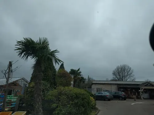
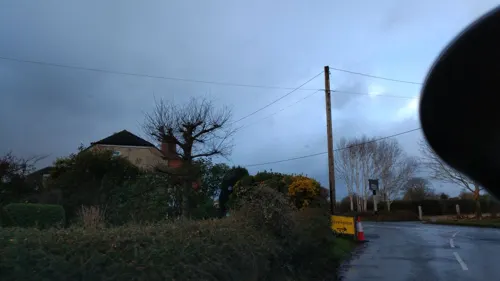
Spindles Bikes
Cafe
116 Top Lane, Whitley
Mo-Sa 09:00-17:00; Su 10:00-16:00
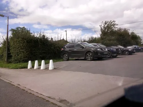
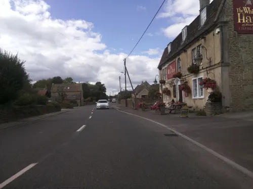

The Burj at Harp and Crown
Restaurant · Indian · 1.4 mi
Velley Hill, Gastard
Mo-Su 12:00-14:30,17:00-23:00


1 more on the map.
History
The manor of Whitley was recorded in the 13th century and became a tithing of Melksham parish. The village name means a "white clearing" in a wood. It consists of three settlements, Upper, Middle and Lower Whitley, linked by the Atworth to Lacock road. Whitley House dates from the late seventeenth century. Whitley Farmhouse, Slade's Farmhouse and the Pear Tree Inn all date to the late seventeenth century, and Westlands Farmhouse and Northey's Farmhouse to the early eighteenth. Cottages were added to the village throughout the eighteenth and nineteenth centuries, but substantial infill only took place in the twentieth century. Lower Whitley, around Westlands Farm, remains relatively undeveloped.
Melksham Without parish was formed under the Local Government Act 1894, when Whitley was united with the nearby settlements of Beanacre and Shaw.
From the History section of Whitley, Wiltshire on Wikipedia, under CC BY-SA 4.0.
Where to stay2
Churches and places of worship9
Shopping3
Gas and EV charging1
Schools, colleges and libraries2
Healthcare1
Map of Whitley
38 places. The map loads OpenStreetMap tiles when you open it.
Getting there and nearby towns
Upavon Airfield (UPV) is the nearest airport with scheduled flights listed in OpenStreetMap, 18 miles away.
- Atworth 1 mi west, about 2 min by car
- Melksham 2 mi southeast, about 3 min by car
- Corsham 3 mi north, about 5 min by car
- Holt 3 mi southwest, about 5 min by car
- Chippenham 5 mi north, about 8 min by car
- Trowbridge 6 mi south, about 9 min by car
- Rowde 6 mi east, about 10 min by car
- Calne 7 mi northeast, about 12 min by car
- Westwood 7 mi southwest, about 10 min by car
- Bath 9 mi west, about 14 min by car
Drive times are estimates from straight-line distance, not routes.
Towns near Whitley


Keep exploring
Local news
Headlines from INDB.
Reviews, tips and questions
Loading what members have shared...
Sources and licences
- GeoNames (CC BY 4.0): population, coordinates, regions and time zone
- Mapillary (see each image): photos
- OpenStreetMap contributors (ODbL 1.0): places, airports, map data
- Wikidata (CC0 1.0): elevation, founding date, time zone, website, landmarks and historic places
- Wikimedia Commons (see each image): photos
- Wikipedia (CC BY-SA 4.0): overview and history text
Photo credits
- Whitley,Wiltshire, My another account at en.wikipedia, Public domain
- Barn At Whitley Farmhouse, Chris debian, CC BY-SA 4.0
- Whitley Farmhouse, Chris debian, CC BY-SA 4.0
- Mounting Block To Right Of Farm Entrance Of Whitley Farmhouse, Chris debian, CC BY-SA 4.0
- Pear Tree Inn Whitley, Chris debian, CC BY-SA 4.0
- CorshamCourtFront, Rodhullandemu, CC BY-SA 3.0
- Great Chalfield Manor 12, Trish Steel, CC BY-SA 2.0
- Lacock Abbey view from south, Jürgen Matern, CC BY-SA 2.5
- St. Michael & All Angels (13544583034), Hugh Llewelyn from Keynsham, UK, CC BY-SA 2.0
- Shaw church, My another account at en.wikipedia, Public domain
- Gastard St John the Baptist, My another account ( talk ), CC0
- Beanacre, My another account at English Wikipedia, Public domain
- Pear Tree Inn, chris_debian, CC BY-SA 4.0
- 20140902-DSC 2051 (15117982581), Gareth Milner from London, UK, CC BY 2.0
- 20140902-DSC 2038 (14934439948), Gareth Milner from London, UK, CC BY 2.0
- 20140902-DSC 2045 (15120625592), Gareth Milner from London, UK, CC BY 2.0
- 20140902-DSC 2103 (14934258530), Gareth Milner from London, UK, CC BY 2.0
- 20140902-DSC 2050 (15117987131), Gareth Milner from London, UK, CC BY 2.0
- 20140902-DSC 2061 (15120963515), Gareth Milner from London, UK, CC BY 2.0
- 20140902-DSC 2083 (15097939256), Gareth Milner from London, UK, CC BY 2.0
- 20140902-DSC 2012 (14934486348), Gareth Milner from London, UK, CC BY 2.0
- 20140902-DSC 2107 (14934338857), Gareth Milner from London, UK, CC BY 2.0
- 20140902-DSC 2007 (14934368409), Gareth Milner from London, UK, CC BY 2.0
- 20140902-DSC 2024 (14934459098), Gareth Milner from London, UK, CC BY 2.0
- Nave, St. Cyriac's Church, Lacock. - panoramio, Robert Powell, CC BY-SA 3.0
- Street-level photo, chris_debian, CC BY-SA 4.0
- Street-level photo, RyanBush, CC BY-SA 4.0
- Street-level photo, chris_debian, CC BY-SA 4.0
- Street-level photo, chris_debian, CC BY-SA 4.0
- Street-level photo, chris_debian, CC BY-SA 4.0
- Street-level photo, jarosor0, CC BY-SA 4.0
- Street-level photo, southglos, CC BY-SA 4.0
- Street-level photo, jarosor0, CC BY-SA 4.0
- Street-level photo, southglos, CC BY-SA 4.0
- Street-level photo, chris_debian, CC BY-SA 4.0
- Street-level photo, chris_debian, CC BY-SA 4.0
- Street-level photo, chris_debian, CC BY-SA 4.0
- Street-level photo, chris_debian, CC BY-SA 4.0
- Street-level photo, chris_debian, CC BY-SA 4.0


Page built November 10, 2026. Spotted a mistake? Tell us or suggest a place.