


Why visit Beelen
Townapedia lists 11 museums and landmarks, 11 parks and trails, 15 places to eat, 1 place to stay and 1 attraction in and around town.
Highlights include Motorcycle Museum Heiner Beckmann, Motorenmuseum Heitmann, Axtbach and Beelener Mark.
Weather in Beelen
Forecast from MET Norway (CC BY 4.0). Full forecast
About Beelen
Beelen (German pronunciation: [ˈbeːlən]; Low German: Bailen) is a municipality in the district of Warendorf, in North Rhine-Westphalia, Germany. It is situated approximately 30 km south-west of Bielefeld and 35 km east of Münster.
From the Wikipedia article Beelen (this version), under CC BY-SA 4.0.
Things to do1

Museums and landmarks11

Motorcycle Museum Heiner Beckmann
Museum · 4.2 km
32 Beelener Straße, Harsewinkel
easter-Oct: Su 11:00-17:00 || "nach Vereinbarung"


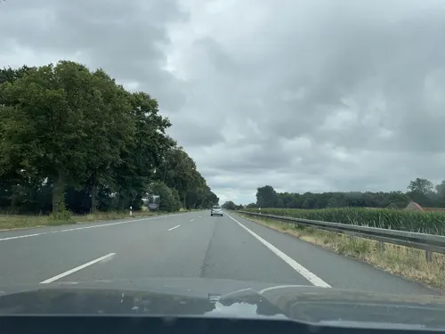
Hofkreuz Jüttner
Monument and historic site · 2.2 km
Das ursprüngliche Kreuz stammte aus dem 18Jhd. Bei der Renovierung im Jahre 1921 blieb das Fundament erhalten, Korpus und Balken wurden...
Hofkreuz Kammann
Monument and historic site · 2.3 km
Ursprünglich stand dort ein Holzkreuz, das mit der Zeit verfallen war und durch das neue Kreuz ersetzt wurde.
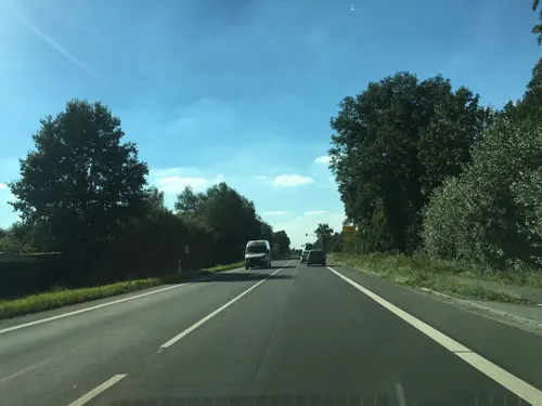
Parks, trails and playgrounds11






Restaurants and cafes15

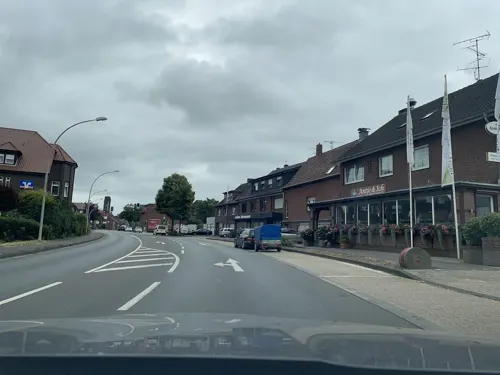
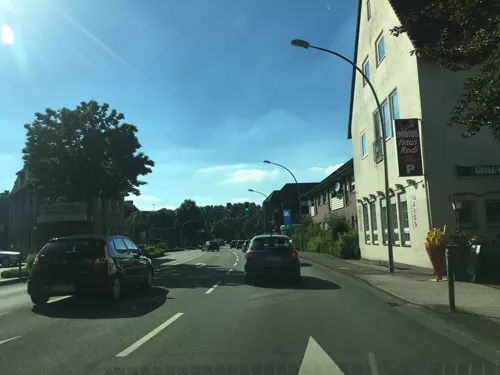

Bäckerei Bürenkemper
Bakery · 1.0 km
1 Lilienweg, Beelen
Mo-Sa 07:00-20:00, Su 08:00-11:30


3 more on the map.
Where to stay1
Churches and places of worship4
Shopping4
Gas and EV charging3
Schools, colleges and libraries2
Healthcare1
Map of Beelen
53 places. The map loads OpenStreetMap tiles when you open it.
Getting there and nearby towns
Flugplatz Bielefeld (BFE) is the nearest airport with scheduled flights listed in OpenStreetMap, 30 km away.
- Warendorf 9 km west, about 9 min by car
- Harsewinkel 9 km northeast, about 9 min by car
- Sassenberg 9 km northwest, about 9 min by car
- Oelde 11 km south, about 11 min by car
- Ennigerloh 11 km southwest, about 11 min by car
- Versmold 13 km north, about 13 min by car
- Rheda-Wiedenbrück 16 km southeast, about 16 min by car
- Gütersloh 19 km east, about 19 min by car
- Everswinkel 18 km west, about 18 min by car
- Beckum 20 km south, about 20 min by car
Drive times are estimates from straight-line distance, not routes.
Local news
Headlines from INDB.
Reviews, tips and questions
Loading what members have shared...
Sources and licences
- GeoNames (CC BY 4.0): population, coordinates, regions and time zone
- Mapillary (see each image): photos
- OpenStreetMap contributors (ODbL 1.0): places, airports, map data
- Wikidata (CC0 1.0): elevation, founding date, time zone, website
- Wikimedia Commons (see each image): photos
- Wikipedia (CC BY-SA 4.0): overview and history text
Photo credits
- Beelen Haus Heuer, Daniel Brockpähler, CC BY-SA 3.0
- Aerial image of the Beelen airfield, Carsten Steger, CC BY-SA 4.0
- Motorradmuseum Heiner Beckmann Außenansicht, Unknown author, CC BY-SA 3.0
- Beelen - NSG Axtbach - 01, Ath, CC0
- Beelen - NSG Beelener Mark - 03, Ath, CC0
- Street-level photo, poxonline, CC BY-SA 4.0
- Street-level photo, descilla, CC BY-SA 4.0
- Street-level photo, poxonline, CC BY-SA 4.0
- Street-level photo, baldur80, CC BY-SA 4.0
- Street-level photo, alucardo, CC BY-SA 4.0
- Street-level photo, descilla, CC BY-SA 4.0
- Street-level photo, oldfuchs8w745g, CC BY-SA 4.0
- Street-level photo, marczoutendijk, CC BY-SA 4.0
- Street-level photo, zuse, CC BY-SA 4.0
- Street-level photo, baldur80, CC BY-SA 4.0
- Street-level photo, zuse, CC BY-SA 4.0
- Street-level photo, thetornado76, CC BY-SA 4.0
- Street-level photo, descilla, CC BY-SA 4.0
- Street-level photo, thetornado76, CC BY-SA 4.0
- Street-level photo, descilla, CC BY-SA 4.0
Page built November 9, 2026. Spotted a mistake? Tell us or suggest a place.