


Why visit Bell
Townapedia lists 19 museums and landmarks, 5 parks and trails, 5 places to eat, 2 places to stay and 5 attractions in and around town.
Highlights include Schmitzkopf, Thelenberg, Benediktinerabtei Maria Laach and Bürresheim Castle.
Weather in Bell
Forecast from MET Norway (CC BY 4.0). Full forecast
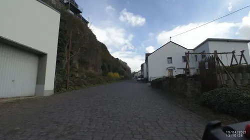
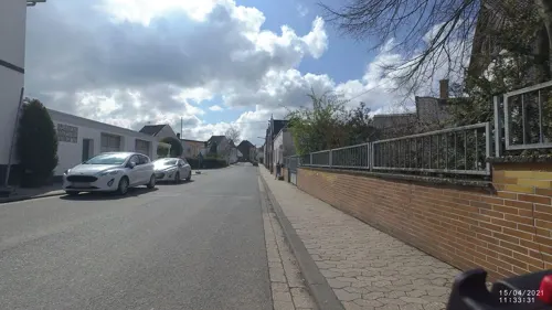
Photos of Bell


Things to do5

Museums and landmarks19


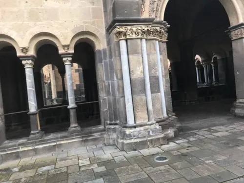
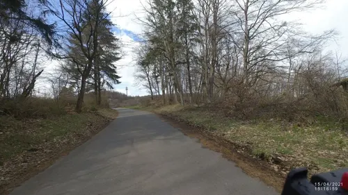
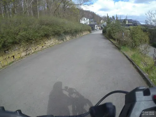
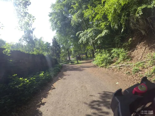
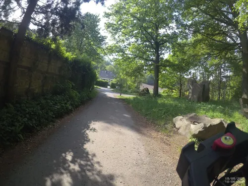
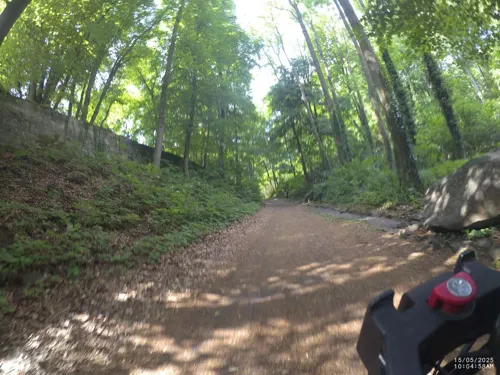

Steinerlebnispfad 13 Moselfschiefer - modernes Urgestein
Monument and historic site · 2.3 km
7 more on the map.
Parks, trails and playgrounds5


Rast & Action
Playground · 2.4 km
Https://www.seehotel-maria-laach.de/project/stein-erlebnispfad/

Restaurants and cafes5
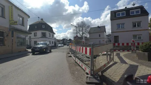
Ulrike's Kulturbackhaus
Bakery · 2.3 km
8 Molkereistraße, Mendig
Mo-Fr 06:00 -18:00; Sa 06:00-12:30; Su 07:30-17:30

Where to stay2
Churches and places of worship2
Shopping1
Gas and EV charging1
Schools, colleges and libraries2
Healthcare1
Map of Bell
43 places. The map loads OpenStreetMap tiles when you open it.
Getting there and nearby towns
Hahn Airport (HHN) is the nearest airport with scheduled flights listed in OpenStreetMap, 49 km away.
- Mendig 4 km southeast, about 4 min by car
- Mayen 6 km south, about 6 min by car
- Polch 11 km southeast, about 11 min by car
- Plaidt 11 km east, about 11 min by car
- Ochtendung 11 km east, about 11 min by car
- Andernach 13 km northeast, about 13 min by car
- Weißenthurm 16 km east, about 16 min by car
- Neuwied 18 km east, about 18 min by car
- Sinzig 18 km north, about 18 min by car
- Bad Neuenahr-Ahrweiler 20 km northwest, about 20 min by car
Drive times are estimates from straight-line distance, not routes.
Towns near Bell


Keep exploring
Local news
Headlines from INDB.
Reviews, tips and questions
Loading what members have shared...
Sources and licences
- GeoNames (CC BY 4.0): population, coordinates, regions and time zone
- Mapillary (see each image): photos
- OpenStreetMap contributors (ODbL 1.0): places, airports, map data
- Wikidata (CC0 1.0): elevation, founding date, time zone, website, landmarks and historic places
- Wikimedia Commons (see each image): photos
Photo credits
- Ortseinfahrt Bell bei Maria Laach (Eifel) - geo.hlipp.de - 15509, Udo und Joan Fugel on geo.hlipp.de, CC BY-SA 2.0
- Kapelle Bell, Tobias Philippi, CC BY-SA 4.0
- 2024 Bell, Sint-Florinustsjerke, RomkeHoekstra, CC0
- Buerresheim 1, Klaus Graf, CC BY 2.0 de
- 00 1438 Abteikirche Maria Laach, W. Bulach, CC BY-SA 4.0
- Hochstein (Eifel), J. Braukmann Milseburg, CC BY-SA 3.0
- Maria Laach de04, Goldi64 at German Wikipedia, CC BY-SA 3.0
- Abtei Maria Laach Bibliothek 7855, GFreihalter, CC BY-SA 3.0
- Aerial image of the Maria Laach Abbey (view from the southwest), Carsten Steger, CC BY-SA 4.0
- 2020 06 01 Wanderung Osteifelweg Nr5 (57), Buergerverein, CC BY-SA 4.0
- Volcanic Rock - panoramio - mroszewski, mroszewski, CC BY-SA 3.0
- Waldseepfad Rieden (4), Assenmacher, CC BY-SA 4.0
- Waldseepfad Rieden Gänsehalshütte Ausblick auf A61, Assenmacher, CC BY-SA 4.0
- St. Genovefa Obermendig Turm, TVBuddha, CC BY-SA 4.0
- Obermendig, Genovevatsjerke, byld Genoveva fan Parys, RomkeHoekstra, CC BY-SA 4.0
- Obermendig, Genovevatsjerke, preesteralter, RomkeHoekstra, CC BY-SA 4.0
- Obermendig, Genovevatsjerke, byld Laurentius fan Rome, RomkeHoekstra, CC BY-SA 4.0
- Obermendig, Genovevatsjerke, haadalter, RomkeHoekstra, CC BY-SA 4.0
- Obermendig, Genovevatsjerke, slútstien II, RomkeHoekstra, CC BY-SA 4.0
- Obermendig, Genovevatsjerke, ynterieur rjochting oargelkreake, RomkeHoekstra, CC BY-SA 4.0
- Obermendig, Genovevatsjerke, oersjocht ynterieur, RomkeHoekstra, CC BY-SA 4.0
- Obermendig, Genovevatsjerke, tsjerke-oargel, RomkeHoekstra, CC BY-SA 4.0
- Obermendig, Genovevatsjerke, alterkrús, RomkeHoekstra, CC BY-SA 4.0
- Obermendig, Genovevatsjerke, Petrus, RomkeHoekstra, CC BY-SA 4.0
- Obermendig, Genovevatsjerke, relykskryn Genoveva, RomkeHoekstra, CC BY-SA 4.0
- Obermendig, Genovevatsjerke, skilderij Hillige Famylje, RomkeHoekstra, CC BY-SA 4.0
- Obermendig, Genovevatsjerke, slútstien I, RomkeHoekstra, CC BY-SA 4.0
- Obermendig, Genovevatsjerke, oliifberchgroep, RomkeHoekstra, CC BY-SA 4.0
- Obermendig, Genovevatsjerke, oliifberchgroep, sliepende apostels, RomkeHoekstra, CC BY-SA 4.0
- Street-level photo, VIA_CH, CC BY-SA 4.0
- Street-level photo, VIA_CH, CC BY-SA 4.0
- Street-level photo, joostjakob, CC BY-SA 4.0
- Street-level photo, VIA_CH, CC BY-SA 4.0
- Street-level photo, VIA_CH, CC BY-SA 4.0
- Street-level photo, VIA_CH, CC BY-SA 4.0
- Street-level photo, VIA_CH, CC BY-SA 4.0
- Street-level photo, VIA_CH, CC BY-SA 4.0
- Street-level photo, VIA_CH, CC BY-SA 4.0
- Street-level photo, VIA_CH, CC BY-SA 4.0
- Street-level photo, VIA_CH, CC BY-SA 4.0
- Street-level photo, VIA_CH, CC BY-SA 4.0
- Street-level photo, VIA_CH, CC BY-SA 4.0
- Street-level photo, VIA_CH, CC BY-SA 4.0
- Street-level photo, VIA_CH, CC BY-SA 4.0
- Street-level photo, VIA_CH, CC BY-SA 4.0
- Street-level photo, miguel_andrade, CC BY-SA 4.0


Page built November 9, 2026. Spotted a mistake? Tell us or suggest a place.