


Why visit Hollfeld
Townapedia lists 64 museums and landmarks, 11 parks and trails, 42 places to eat, 10 places to stay and 17 attractions in and around town.
Highlights include Kintopp, Krähenberg, Burg Zwernitz and Schloss Freienfels.
Weather in Hollfeld
Forecast from MET Norway (CC BY 4.0). Full forecast
About Hollfeld
Hollfeld (German pronunciation: [ˈhɔlˌfɛlt] ) is a town in the district of Bayreuth, in Bavaria, Germany.
From the Wikipedia article Hollfeld (this version), under CC BY-SA 4.0.
Things to do17



5 more on the map.
Museums and landmarks64


Schloss Plankenfels
Monument and historic site · 6.6 km



Abschnittsbefestigung Bischofsgraben
Monument and historic site · 6.4 km




52 more on the map.
Parks, trails and playgrounds11




Restaurants and cafes42

Brauereigasthof Reichold
Restaurant · Regional · 6.2 km
24, Aufseß
Nov-Mar: PH,We-Su 08:00+, Apr-Oct: Mo,Tu 17:00+, Apr-Oct: PH,We-Su 08:00+
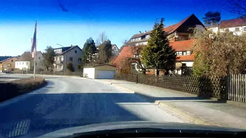
Brauereigasthof Rothenbach
Restaurant · 7.5 km
70 Im Tal, Aufseß
Apr-Oct: PH,Mo-Su 09:00+, Nov: PH,We-Mo 09:00+, Dec-Feb: PH,Fr-Su...
Brauereigasthof Stadter
Restaurant · Regional · 4.8 km
26 Hauptstraße, Aufseß
Apr-Oct: Tu-Su,PH 10:00+, Nov-Mar: Th-Su,PH 10:00+
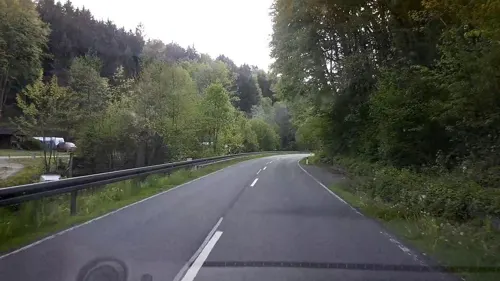
Gasthof Waldmühle
Restaurant · German, Regional · 3.7 km
31, Hollfeld
Mo,We,Fr,Sa 17:00-21:00; Su 10:00-21:00; Tu,Th off
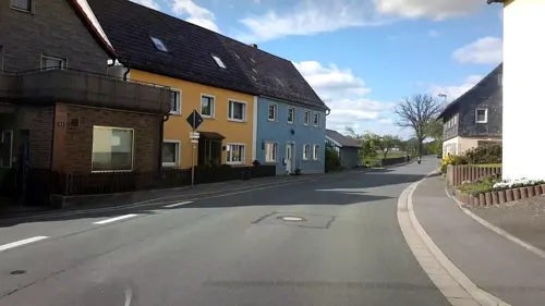
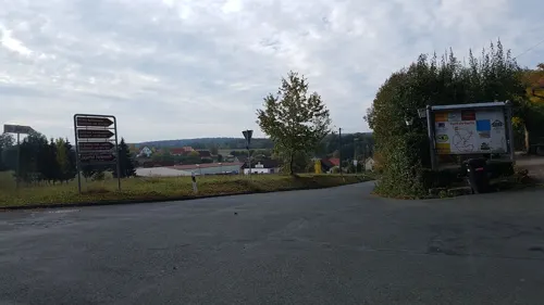

Kathi-Bräu
Restaurant · Regional · 7.3 km
1, Aufseß
Tu-Fr 11:00-21:00; Sa, Su, PH 09:00-19:00
Le Mani D'Oro
Restaurant · Italian, Greek · 4.3 km
2 Marktplatz, Wonsees
Tu-Su 11:00-14:00; Tu-Su 17:00-22:00




30 more on the map.
Where to stay10
Churches and places of worship25
Pfarrkirche Kreuzauffindung
Church · Roman Catholic · 4.5 km
34, Hollfeld
Shopping9
Gas and EV charging4
Schools, colleges and libraries3
Healthcare2
Map of Hollfeld
187 places. The map loads OpenStreetMap tiles when you open it.
Getting there and nearby towns
Verkehrslandeplatz Burg Feuerstein (URD) is the nearest airport with scheduled flights listed in OpenStreetMap, 20 km away.
- Stadelhofen 10 km northwest, about 10 min by car
- Bayreuth 21 km east, about 21 min by car
- Kulmbach 21 km northeast, about 21 min by car
- Litzendorf 20 km west, about 20 min by car
- Pottenstein 20 km southeast, about 20 min by car
- Hirschaid 25 km southwest, about 25 min by car
- Pegnitz 27 km southeast, about 27 min by car
- Bad Staffelstein 28 km northwest, about 28 min by car
- Bamberg 28 km west, about 28 min by car
- Lichtenfels 28 km northwest, about 28 min by car
Drive times are estimates from straight-line distance, not routes.
Local news
Headlines from INDB.
Reviews, tips and questions
Loading what members have shared...
Sources and licences
- GeoNames (CC BY 4.0): population, coordinates, regions and time zone
- Mapillary (see each image): photos
- OpenStreetMap contributors (ODbL 1.0): places, airports, map data
- Wikidata (CC0 1.0): elevation, founding date, time zone, website
- Wikimedia Commons (see each image): photos
- Wikipedia (CC BY-SA 4.0): overview and history text
Photo credits
- Stadtmitte Hollfeld 03, -- Immanuel Giel 10:10, 4 June 2007 (UTC), Public domain
- Hollfeld Luftbild-20211010-RM-170213, Ermell, CC BY-SA 4.0
- Hollfeld-easter-fountain-1260057, ermell, CC BY-SA 4.0
- Hollfeld-easter-fountain-1260061PS, ermell, CC BY-SA 4.0
- Hollfeld Luftbild-20211010-RM-170127, Ermell, CC BY-SA 4.0
- Hollfeld Luftbild-20211010-RM-170136, Ermell, CC BY-SA 4.0
- Hollfeld-easter-fountain--1260045PS, ermell, CC BY-SA 4.0
- Hollfeld Kirche Uhr-20211010-RM-165757, Ermell, CC BY-SA 4.0
- Hollfeld-fountain-P4164138, ermell, CC BY-SA 4.0
- Hollfeld St. Gangolf Turm-20211010-RM-172322, Ermell, CC BY-SA 4.0
- Hollfeld St. Gangolf Turm-20211010-RM-172544, Ermell, CC BY-SA 4.0
- Hollfeld St. Gangolf Uhr-20211010-RM-172406, Ermell, CC BY-SA 4.0
- Hollfeld St. Gangolf Wetterhahn-20211010-RM-172456, Ermell, CC BY-SA 4.0
- Hollfeld Kirche Turmkreuz-20211010-RM-165214, Ermell, CC BY-SA 4.0
- Hollfeld Krippe P1340403, Ermell, CC BY-SA 4.0
- Hollfeld Kirche Wappen-20211010-RM-170403, Ermell, CC BY-SA 4.0
- Hollfeld Kirche Luftbild-20211010-RM-165648, Ermell, CC BY-SA 4.0
- Hollfeld Luftbild-20211010-RM-165501, Ermell, CC BY-SA 4.0
- Hollfeld Kirche Wappen-20211010-RM-170351, Ermell, CC BY-SA 4.0
- Hollfeld Kirche Luftbild-20211010-RM-165255, Ermell, CC BY-SA 4.0
- Hollfeld Kirche Luftbild-20211010-RM-165636, Ermell, CC BY-SA 4.0
- Hollfeld Kirche Luftbild-20211010-RM-165417, Ermell, CC BY-SA 4.0
- Hollfeld Kirche Luftbild-20211010-RM-165355, Ermell, CC BY-SA 4.0
- Hollfeld Kirche Luftbild-20211010-RM-165322, Ermell, CC BY-SA 4.0
- Hollfeld Luftbild-20211010-RM-165444, Ermell, CC BY-SA 4.0
- Hollfeld Kirche Dach-20211010-RM-170044, Ermell, CC BY-SA 4.0
- Hollfeld Maria Himmelfahrt Orgel 1340421-2, Ermell, CC BY-SA 4.0
- Maria Himmelfahrt Hollfeld 1340421, Ermell, CC BY-SA 4.0
- Hollfeld Kirche Kreuz-20211010-RM-165926, Ermell, CC BY-SA 4.0
- Hollfeld 05.05.2011 12-21, Edbruynzeels, CC BY-SA 4.0
- Hollfeld Kirche P1340429 HDR, Ermell, CC BY-SA 4.0
- Hollfeld KIrche Krippe, Ermell, CC BY-SA 4.0
- Hollfeld Kirche P1340457 HDR, Ermell, CC BY-SA 4.0
- Hollfeld St. Salvator 1340461, Ermell, CC BY-SA 4.0
- Schloss Truppach bei Mistelgau Oberfranken 16.09.07 (03), Bayreuth2009, CC BY 3.0
- Wiesentfels Schloss, Immanuel Giel, Public domain
- Burg-Zwernitz 2021-02-28 04, Franck-N, CC BY-SA 4.0
- Schloss Freienfels, Presse03, CC BY-SA 3.0
- Plankenfels Schloss-20070415-RM-105607, Ermell, CC BY-SA 4.0
- Burgstall Großes Haus 02, Sven-121, CC0
- 2019 Drosendorf Drosendorf a.d.Aufseß 41 01, Derzno, CC BY-SA 4.0
- Schönfeld Kirche-20210524-RM-162241, Ermell, CC BY-SA 4.0
- Voitmannsdorf Kapelle 2, Immanuel Giel, Public domain
- St-Heinrich-Plankenfels-20, Immanuel Giel, CC BY-SA 3.0
- Burg Zwernitz Luftbild, Presse03, CC BY-SA 3.0
- St. Gangolf (Hollfeld), Schubbay, CC BY-SA 3.0
- Wald auf dem Knock bei Obernsees, Till Ullmann, CC BY-SA 4.0
- Aufseß-Tal 2, Jürgen Hamann, CC BY-SA 4.0
- Wonsees, Presse03, CC BY-SA 3.0
- Hollfeld, Kath. Pfarrkirche Mariae Himmelfahrt-002, Tilman2007, CC BY-SA 3.0
- Pfarrkirche Krögelstein, Schubbay, CC BY-SA 3.0
- Hochstahl St. Johannes der Täufer, Benreis, CC BY 3.0
- Wonsees, St. Laurentius, 004, Tilman2007, CC BY-SA 3.0
- Pfarrkirche St. Matthäus (Neuhaus) 01, Derzno, CC BY-SA 3.0
- Salvatorkapelle Hollfeld 01, -- Immanuel Giel 09:52, 4 June 2007 (UTC), Public domain
- Sebastianskapelle-Treunitz-03, Immanuel Giel, CC BY-SA 3.0
- Burgruine Krögelstein IMG 6694, Roehrensee, CC BY-SA 4.0
- Abschnittsbefestigung Bischofsgraben Geländemodell, Bayerische Vermessungsverwaltung - www.geodaten.bayern.de, CC BY 4.0
- Burgstall Plankenstein(Oberfranken)02, Sven-121, CC0
- Morgenländischer Bau, Flocci Nivis, CC BY-SA 4.0
- Street-level photo, r66, CC BY-SA 4.0
- Street-level photo, r66, CC BY-SA 4.0
- Street-level photo, r66, CC BY-SA 4.0
- Street-level photo, jurgenweighardt, CC BY-SA 4.0
- Street-level photo, r66, CC BY-SA 4.0
- Street-level photo, r66, CC BY-SA 4.0
- Street-level photo, r66, CC BY-SA 4.0
- Street-level photo, polarmap, CC BY-SA 4.0
- Street-level photo, r66, CC BY-SA 4.0
- Street-level photo, r66, CC BY-SA 4.0
- Street-level photo, r66, CC BY-SA 4.0
- Street-level photo, r66, CC BY-SA 4.0
- Street-level photo, r66, CC BY-SA 4.0
- Street-level photo, r66, CC BY-SA 4.0
- Street-level photo, r66, CC BY-SA 4.0
- Street-level photo, r66, CC BY-SA 4.0
- Street-level photo, r66, CC BY-SA 4.0


Page built November 9, 2026. Spotted a mistake? Tell us or suggest a place.