


Why visit Mainleus
Townapedia lists 54 museums and landmarks, 19 parks and trails, 112 places to eat, 15 places to stay and 12 attractions in and around town.
Highlights include Spargelhof Stenglein, Cineplex, Geschwister Gummi Stiftung and Badhaus.
Weather in Mainleus
Forecast from MET Norway (CC BY 4.0). Full forecast
About Mainleus
Mainleus is a municipality in the district of Kulmbach in Bavaria in Germany, the site of a post World War II American sector displaced person camp.
From the Wikipedia article Mainleus (this version), under CC BY-SA 4.0.
Things to do12

Spargelhof Stenglein
Farm and orchard · 3.3 km
Frischer Spargel
6 Eichberger Straße, Mainleus
week 18-24 Mo-Fr 08:00-18:00; week 18-24 Sa 08:00-16:00; week...
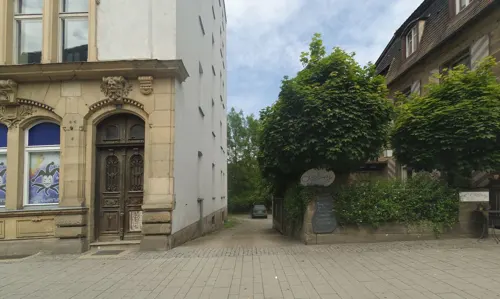
Cineplex
Cinema and theater · 5.4 km
21 Kressenstein, Kulmbach
PH,Mo-Su 13:00-01:00




Museums and landmarks54


Schloss Maineck
Monument and historic site · 5.7 km
1 Schloßberg, Altenkunstadt


Schloss Steinenhausen
Monument and historic site · 2.2 km
Bayer. Landesamt für Umweltschutz
1 Steinhausen, Kulmbach


Biohof Dietl - Das Landhaus | Ferienapartments
Monument and historic site · 2.1 km
12 Oberdorf, Mainleus
42 more on the map.
Parks, trails and playgrounds19
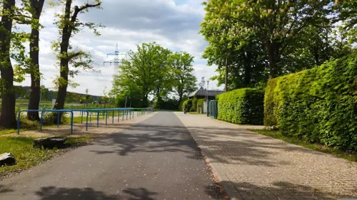
Fritz-Hornschuch-Bad Mainleus
Sports field and stadium
5 Wilmersreuther Straße, Mainleus
May 15-Sep 15 PH,Mo-Su 07:00-20:00





7 more on the map.
Restaurants and cafes112


Schweizerhof
Restaurant · Regional · 5.2 km
Restaurant und Hotel
38 Ziegelhüttener Straße, Kulmbach
Th-Tu 09:00-14:00, 17:00-23:00; We off "Ruhetag"

Zum Paul
Restaurant · Regional · 4.5 km
15, Mainleus
We-Sa 16:00-20:00+; Su,PH 11:00-15:00; Mo,Tu off

rot. Restaurant & Hotel
Restaurant · German · 5.8 km
11 Mainrother Straße, Burgkunstadt
Mo 16:00-23:00; We-Th 16:00-23:00; Fr 16:00-24:00; Sa 10:00-24:00;...

Konoba
Restaurant · Croatian · 5.7 km
Kroatische Spezialitäten
2 Hans-Herold-Straße, Kulmbach
We-Su 17:00+
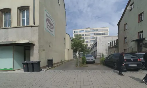
buonissimo
Cafe · Ice Cream · 5.5 km
20 Kressenstein, Kulmbach
Mo,Tu,Th-Sa 09:00-18:00; We 10:00-18:00; Su 12:00-18:00
Altes Milchhaus
Restaurant · German, Barbecue, Burger · 3.3 km
2 Am Rorbach, Mainleus
Mo,Th 11:00-18:00; Fr 11:00-20:00; Sa-Su 14:00-20:00
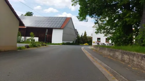
Gasthaus Räther
Restaurant · German · 5.3 km
4 Oberzettlitz, Kulmbach
Mo,Th off; Tu-We 16:00-22:00, Fr 16:00-22:00, Sa 14:00-22:00, Su...
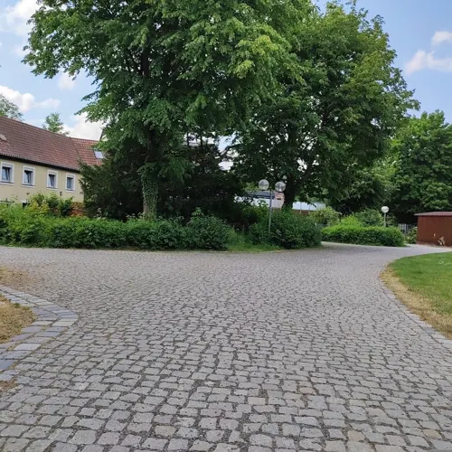


Gaststätte Bauernfeind / Zum Hähnchen Wirt
Restaurant · Regional · 5.1 km
6 Saalfelder Straße, Kulmbach
Mo off; Tu-Sa 17:00-23:00; Su 11:00-21:00
100 more on the map.
Where to stay15
Churches and places of worship23
Spitalkirche Hl. Geist
Church · Lutheran · 5.9 km
15 Spitalgasse, Kulmbach
Shopping41
Gas and EV charging12
Schools, colleges and libraries27
Evangelischer Kindergarten u. Krippe -Kinder Arche
School · 0.9 km
16 Hornschuchstraße, Mainleus
Healthcare11
HNO Operationen Dr. Katrin Gollner und Dr. Ulrich Gollner
Clinic and pharmacy · 5.7 km
21 Schießgraben, Kulmbach
Map of Mainleus
250 places. The map loads OpenStreetMap tiles when you open it.
Getting there and nearby towns
Verkehrslandeplatz Bayreuth (BYU) is the nearest airport with scheduled flights listed in OpenStreetMap, 23 km away.
- Kulmbach 5 km east, about 5 min by car
- Altenkunstadt 9 km west, about 9 min by car
- Kronach 16 km north, about 16 min by car
- Stadelhofen 17 km southwest, about 17 min by car
- Hollfeld 19 km south, about 19 min by car
- Sonnefeld 22 km northwest, about 22 min by car
- Bayreuth 22 km southeast, about 22 min by car
- Lichtenfels 23 km west, about 23 min by car
- Stockheim 24 km north, about 24 min by car
- Bad Staffelstein 27 km west, about 27 min by car
Drive times are estimates from straight-line distance, not routes.
Local news
Headlines from INDB.
Reviews, tips and questions
Loading what members have shared...
Sources and licences
- GeoNames (CC BY 4.0): population, coordinates, regions and time zone
- Mapillary (see each image): photos
- OpenStreetMap contributors (ODbL 1.0): places, airports, map data
- Wikidata (CC0 1.0): elevation, founding date, time zone, website
- Wikimedia Commons (see each image): photos
- Wikipedia (CC BY-SA 4.0): overview and history text
Photo credits
- Wernstein1, Weissenstein at de.wikipedia, Public domain
- Mainleus-Easter- fountain-1010245, ermell, CC BY-SA 4.0
- Röhl Villa D-4-77-128-195 (1), Benreis, CC BY 3.0
- Gärtenroth Kirche (3), Benreis, CC BY-SA 3.0
- Gärtenroth Das Rot, Benreis, CC BY-SA 3.0
- Mainroth Kirche, Benreis, CC BY-SA 3.0
- Pfarrkirche St. Maria Peesten (2), Benreis, CC BY 3.0
- Nikolei Kirche, Benreis, CC BY-SA 3.0
- Kulmbacher Badhaus (1), Stefan Karl, CC BY-SA 4.0
- Die ehemalige Verwaltungsvilla der Spinnerei Fritz-Hornschuch, DYVER, CC BY-SA 4.0
- Kulmbach-Karl-Herrle-640, Karl Herrle (1828-after 1886), Public domain
- Kulmbach Friedenskirche, Benreis, CC0
- Johanneskirche Kulmbach-Burghaig (2), Benreis, CC0
- Kulmbach Negeleinstraße 5, Benreis, CC BY 3.0
- Kulmbach, Marktplatz, Luitpoldbrunnen-002, Tilman2007, CC BY-SA 3.0
- Bahnhof Kulmbach IMG 7848, Roehrensee, CC BY-SA 4.0
- Kulmbach, Obere Stadt 36, 002, Tilman2007, CC BY-SA 3.0
- Kulmbach Kronacher Straße 2 Rizzi-Villa (2), Benreis, CC0
- Schloss Maineck, Benreis, CC BY-SA 3.0
- Kulmbachburggut005, PeterBraun74, CC BY-SA 3.0
- Villa Hornschuch Kulmbach, Benreis, CC0
- Kulmbach, Holzmarkt, Zinsfelderbrunnen, 001, Tilman2007, CC BY-SA 3.0
- Mainleus-Hornschuchhausen-Holzstraße 3 (1), Weissenstein, CC BY-SA 4.0
- Mainleus-Hauptstrasse 32, Weissenstein, CC BY-SA 4.0
- Wüstenbuchau 1, Weissenstein, CC BY-SA 4.0
- Kulmbach Schweizerhof D-4-77-128-274, Benreis, CC0
- Buchau zum Paul, Benreis, CC BY 3.0
- Willmersreuth Kirche, Weissenstein, CC BY-SA 4.0
- Petrikircheku, PeterBraun74, CC BY-SA 3.0
- Buchau Kirche, Benreis, CC BY-SA 3.0
- Kulmbach Spitalkirche, Olaf Meister, CC BY-SA 3.0
- Mainleus St. Antonius, Benreis, CC0
- Kulmbach Kreuzkirche, Benreis, CC BY-SA 3.0
- Kulmbach Kronacher Straße 1 (1), Benreis, CC0
- Kulmbach, Spitalkirchturm-001, Tilman2007, CC BY-SA 3.0
- Steinenhausen, Benreis, CC BY 3.0
- Kulmbach Petrikirche Luftbild-20230814-RM-162747, Ermell, CC BY-SA 4.0
- Peesten Kirche-20200823-RM-153619, Ermell, CC BY-SA 4.0
- Kulmbach-Kreuzkirche-03, Störfix, CC BY-SA 3.0 de
- Fritz-Hornschuch-Bad 2026 02, Benreis, CC BY-SA 4.0
- Aussichtsturm "Schaudichum" 3 - panoramio, G. Zapf, CC BY 3.0
- Kulmbach Plassenburg Westrondell Luftaufnahme-20230814-RM-161315, Ermell, CC BY-SA 4.0
- Street-level photo, wegavision, CC BY-SA 4.0
- Street-level photo, r66, CC BY-SA 4.0
- Street-level photo, wegavision, CC BY-SA 4.0
- Street-level photo, mfa, CC BY-SA 4.0
- Street-level photo, changchun1, CC BY-SA 4.0
- Street-level photo, msdess, CC BY-SA 4.0
- Street-level photo, changchun1, CC BY-SA 4.0
- Street-level photo, wegavision, CC BY-SA 4.0
- Street-level photo, su1dakra, CC BY-SA 4.0
- Street-level photo, bingo67, CC BY-SA 4.0
- Street-level photo, wegavision, CC BY-SA 4.0
- Street-level photo, qgeb, CC BY-SA 4.0
- Street-level photo, wegavision, CC BY-SA 4.0
- Street-level photo, wegavision, CC BY-SA 4.0
- Street-level photo, wegavision, CC BY-SA 4.0
- Street-level photo, wegavision, CC BY-SA 4.0
- Street-level photo, wegavision, CC BY-SA 4.0
- Street-level photo, wegavision, CC BY-SA 4.0
- Street-level photo, wegavision, CC BY-SA 4.0
- Street-level photo, msdess, CC BY-SA 4.0
- Street-level photo, msdess, CC BY-SA 4.0
- Street-level photo, msdess, CC BY-SA 4.0
- Street-level photo, r66, CC BY-SA 4.0


Page built November 9, 2026. Spotted a mistake? Tell us or suggest a place.