


Aldeburgh, United Kingdom
Aldeburgh is a town of 2,341 people in England, United Kingdom.
Why visit Aldeburgh
Townapedia lists 5 museums and landmarks, 7 parks and trails, 26 places to eat, 6 places to stay and 2 attractions in and around town.
Highlights include Aldeburgh Cinema, Scallop, Ballroom Arts and Captain's Wood.
Weather in Aldeburgh
Forecast from MET Norway (CC BY 4.0). Full forecast
About Aldeburgh
Aldeburgh is a coastal town and civil parish in the East Suffolk district, in the county of Suffolk, England, north of the River Alde. Its estimated population was 2,348 in 2024. It was home to the composer Benjamin Britten and remains the centre of the international Aldeburgh Festival of arts at nearby Snape Maltings, which was founded by Britten in 1948. It also hosts an annual poetry festival and several food festivals and other events.
From the Wikipedia article Aldeburgh (this version), under CC BY-SA 4.0.
Travel tips from other travellers: Aldeburgh on Wikivoyage (CC BY-SA 4.0).
Things to do2

Aldeburgh Cinema
Cinema and theater
Cinema and theatre in Aldeburgh, Suffolk, England
51 High Street, Aldeburgh
Museums and landmarks5

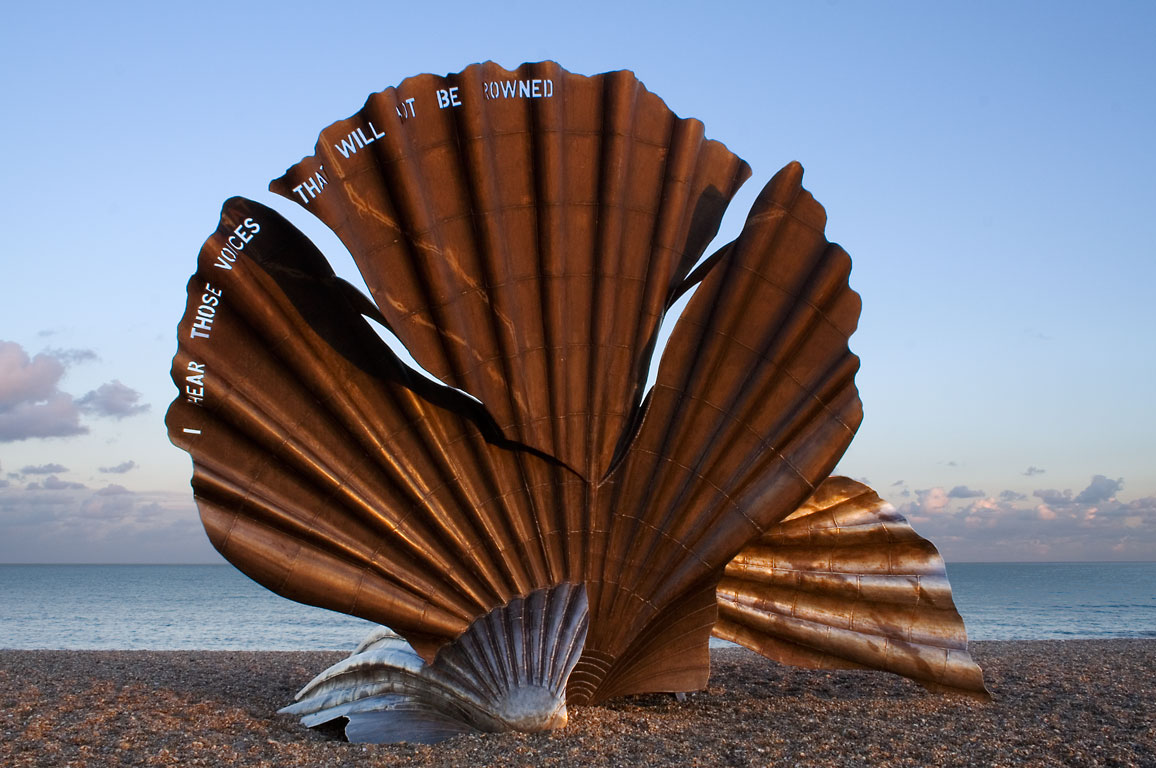
Scallop
Monument and historic site · 0.4 mi
Sculpture by Maggi Hambling
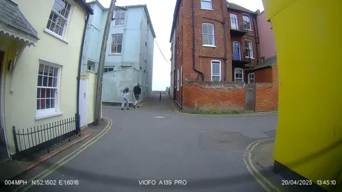


The Red House
Museum · 0.9 mi
Britten-Pears Foundation gallery and archive. Former home of Benjamin Britten and Peter Pears
Parks, trails and playgrounds7
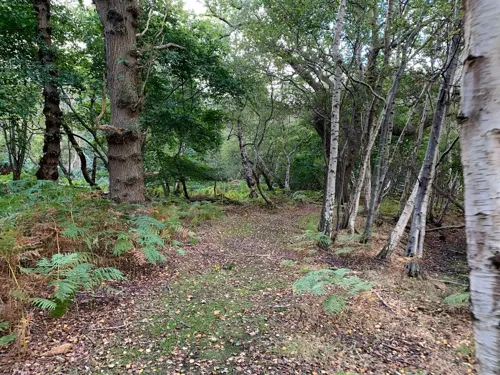

Hazlewood Marshes
Park · 1.7 mi
Suffolk Wildlife Trust nature reserve


North Warren RSPB reserve
Park · 0.9 mi
RSPB nature reserve in the United Kingdom

Restaurants and cafes26
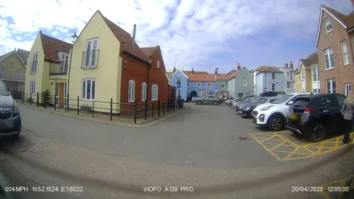
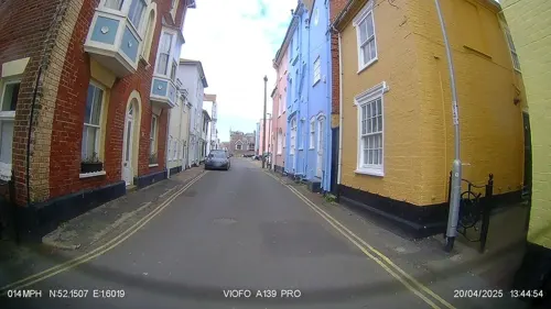
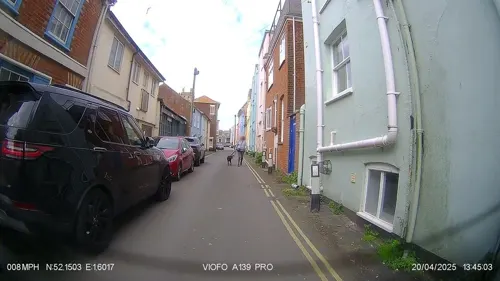
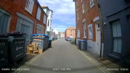

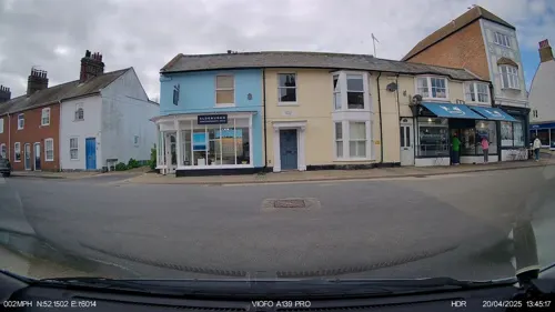


14 more on the map.
History
The name "Aldeburgh" derives from the Old English ald (old) and burh (fortification), although this structure, along with much of the Tudor town, has now been lost to the sea. In the 16th century, Aldeburgh was a leading port and had a flourishing shipbuilding industry. The flagship of the Virginia Company, the Sea Venture is believed to have been built here in 1608. Aldeburgh's importance as a port declined as the River Alde silted up and larger ships could no longer berth. It survived mainly on fishing until the 19th century, when it also became a seaside resort. Much of its distinctive, whimsical architecture dates from that period. The river is now home to a yacht club and a sailing club.
Between 1959 and 1968, the village was the location of a Royal Observer Corps monitoring bunker, to be used in the event of a nuclear attack. The bunker was later demolished and no trace survives.
From the History section of Aldeburgh on Wikipedia, under CC BY-SA 4.0.
More about Aldeburgh
Geography
Aldeburgh is on the North Sea coast, about 87 miles (140 kilometres) north-east of London, 20 mi (32 km) north-east of Ipswich and 23 mi (37 km) south of Lowestoft. Locally it is 4 mi (6 km) south of the town of Leiston and 2 mi (3 km) south of the village of Thorpeness. It lies just north of the River Alde, with the narrow shingle spit of Orford Ness all that stops the river meeting the sea at Aldeburgh – instead it flows another 9 mi (14 km) to the south-west.
The beach is mainly shingle and wide in places, allowing fishing boats to draw up onto the beach above the high tide, but it narrows at the neck of Orford Ness. The shingle bank allows access to the Ness from the north, passing a Martello tower and two yacht clubs at the site of the former village of Slaughden. Aldeburgh was flooded in the North Sea flood of 1953, after which its flood defences were strengthened. The beach received a Blue Flag rural beach award in 2005.
Arts and culture
Outside the town, the Snape Maltings is the venue for the Aldeburgh Festival held every June.
Aldeburgh Music Club, founded by Benjamin Britten and Peter Pears in 1952, has since evolved into one of East Anglia's leading choirs, with about 100 members and more than 120 supporting patrons. It rehearses from early September to late May each year and holds three major performances, two of them at Snape Maltings Concert Hall.
The annual Aldeburgh Carnival in August has been held at least since 1892 and possibly since 1832, when "Ye Olde Marine Regatta" was mentioned. The focal point today is a carnival procession featuring locals and visitors dressed in homemade costumes and on floats, often with a topical or local theme. In the evening, a parade with Chinese lanterns and a firework display are traditional. The procession has been led for more than thirty years by Chief Marshal Trevor Harvey, also a Carnival Committee member for more than fifty years.
The Suffolk Craft Society hold an annual themed exhibition in the Peter Pears Gallery over July and August, showing the work of its members.
From the Wikipedia article Aldeburgh, under CC BY-SA 4.0.
Notable people from Aldeburgh
 Millicent Garrett FawcettEnglish politician, writer, and activist (1847–1929)Photo: Adam Cuerden, Public domain
 George CrabbeEnglish poet, surgeon, and clergyman (1754-1832)Photo: Henry William Pickersgill, Public domain
 Amy VenessBritish actress (1876-1960)Photo: Metro Pictures, Public domain
 Annie Hall CudlipEnglish novelist and editor (1838–1918)Photo: From a photograph by the London..., Public domain
 Betty Temple Wattsscientific illustratorPhoto: "Postmaster-General's Department"..., Public domain
- Louisa Garrett AndersonBritish physician and feminist (1873–1943)
- Susan Margery-Jeaffreson-LloydEnglish model and actress (1939–2011)
- Agnes GarrettEnglish interior designer and suffragist (1845-1935)
- Louis Umfreville WilkinsonBritish writer (1881–1966)
- Malcolm BowieBritish scholar of French literature (1943-2007)
- Jean FisherBritish art critic
- John Foxepolitician
Born in Aldeburgh, according to Wikidata (CC0). Each name links to its Wikipedia article.
Where to stay6
Churches and places of worship4
Shopping14
Schools, colleges and libraries2
Healthcare2
Map of Aldeburgh
68 places. The map loads OpenStreetMap tiles when you open it.
Getting there and nearby towns
RAF Honington (BEQ) is the nearest airport with scheduled flights listed in OpenStreetMap, 37 miles away.
- Wickham Market 10 mi west, about 16 min by car
- Woodbridge 13 mi west, about 20 min by car
- Felixstowe 17 mi southwest, about 27 min by car
- Kesgrave 17 mi west, about 27 min by car
- Debenham 18 mi west, about 30 min by car
- Ipswich 20 mi west, about 32 min by car
- Harwich 20 mi southwest, about 32 min by car
- Shotley Gate 20 mi southwest, about 32 min by car
- Beccles 21 mi north, about 34 min by car
- Lowestoft 23 mi north, about 37 min by car
Drive times are estimates from straight-line distance, not routes.
Towns near Aldeburgh


Keep exploring
Local news
Headlines from INDB.
Reviews, tips and questions
Loading what members have shared...
Sources and licences
- GeoNames (CC BY 4.0): population, coordinates, regions and time zone
- Mapillary (see each image): photos
- OpenStreetMap contributors (ODbL 1.0): places, airports, map data
- Wikidata (CC0 1.0): elevation, founding date, time zone, website, landmarks and historic places
- Wikimedia Commons (see each image): photos
- Wikipedia (CC BY-SA 4.0): overview and history text
Photo credits
- The Scallop, Maggi Hambling, Aldeburgh, Unknown author, CC BY-SA 2.0
- Hazlewood Marshes breaches in sea wall, Dudley Miles, CC BY-SA 4.0
- The Haven, Aldeburgh 10, Dudley Miles, CC BY-SA 4.0
- St Peter and St Paul's Church, Aldeburgh, Suffolk, Robert Cutts, CC BY 2.0
- Mill Inn, Octavius Aurelius, CC BY-SA 4.0
- Street-level photo, IpswichEdits, CC BY-SA 4.0
- Street-level photo, IpswichEdits, CC BY-SA 4.0
- Street-level photo, IpswichEdits, CC BY-SA 4.0
- Street-level photo, IpswichEdits, CC BY-SA 4.0
- Street-level photo, IpswichEdits, CC BY-SA 4.0
- Street-level photo, IpswichEdits, CC BY-SA 4.0
- Street-level photo, nigelramsay, CC BY-SA 4.0
- Street-level photo, IpswichEdits, CC BY-SA 4.0
- Street-level photo, IpswichEdits, CC BY-SA 4.0
- Street-level photo, IpswichEdits, CC BY-SA 4.0
- Street-level photo, IpswichEdits, CC BY-SA 4.0
- Street-level photo, IpswichEdits, CC BY-SA 4.0
- Street-level photo, IpswichEdits, CC BY-SA 4.0
- Street-level photo, IpswichEdits, CC BY-SA 4.0
- Street-level photo, IpswichEdits, CC BY-SA 4.0
- Street-level photo, IpswichEdits, CC BY-SA 4.0
- Street-level photo, IpswichEdits, CC BY-SA 4.0
- Street-level photo, IpswichEdits, CC BY-SA 4.0
- Street-level photo, IpswichEdits, CC BY-SA 4.0
- Street-level photo, IpswichEdits, CC BY-SA 4.0
- Street-level photo, IpswichEdits, CC BY-SA 4.0
- Street-level photo, IpswichEdits, CC BY-SA 4.0
- Street-level photo, IpswichEdits, CC BY-SA 4.0
- Street-level photo, IpswichEdits, CC BY-SA 4.0
- Street-level photo, IpswichEdits, CC BY-SA 4.0
Page built November 10, 2026. Spotted a mistake? Tell us or suggest a place.