


Almondsbury, United Kingdom
Almondsbury is a town of 1,812 people in England, United Kingdom.
Why visit Almondsbury
Townapedia lists 3 museums and landmarks, 21 parks and trails, 29 places to eat, 12 places to stay and 2 attractions in and around town.
Highlights include Gipsy Patch Lane Bridge, War Memorial, Aztec West and Bristol Zoo Project.
Weather in Almondsbury
Forecast from MET Norway (CC BY 4.0). Full forecast
About Almondsbury
Almondsbury (English: ) is a large village and civil parish in South Gloucestershire, England. It is situated on the A38 road in the Avon Green Belt 7 miles (11 km) north of Bristol city centre. It is adjacent to junction 16 of the M5 motorway and Almondsbury Interchange, where the M4 and M5 cross. It is part of the Bristol Built-up Area.
From the Wikipedia article Almondsbury (this version), under CC BY-SA 4.0.
Things to do2
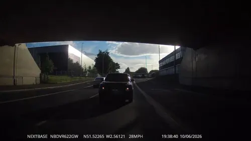
Gipsy Patch Lane Bridge
Bridge · 2.2 mi
Railway bridge in South Gloucestershire, England

Museums and landmarks3
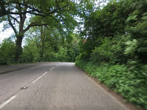

Parks, trails and playgrounds21
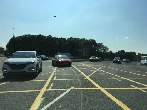
Aztec West
Park · 0.8 mi
Business park in Gloucestershire, England, UK

Bristol Zoo Project
Park · 2.6 mi
Wildlife conservation park in South Gloucestershire, England

Three Brooks Local Nature Reserve
Park · 2.0 mi
Park in Bradley Stoke, United Kingdom

Woodlands Golf & Country Club
Golf course · 1.3 mi
18 hole Par 70 Signature Course & 18 hole Par 72 Masters Course
Trench Lane, Almondsbury


9 more on the map.
Restaurants and cafes29
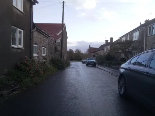
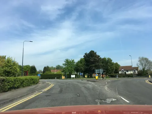
Toby Carvery Almondsbury
Restaurant · British · 0.7 mi
Woodlands Lane, Bristol
Mo-Sa 08:00-23:00; Su 08:00-22:30
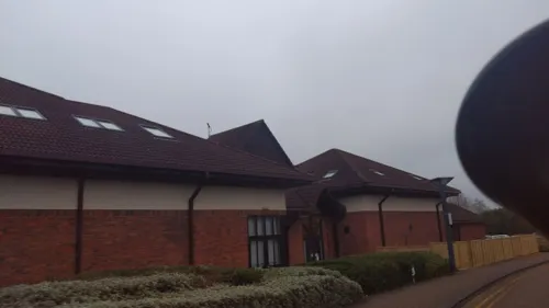




17 more on the map.
History
The place-name 'Almondsbury' is first attested in the Domesday Book of 1086, where it appears as Almodesberie. The name means 'Æthelmod's or Ealhmund's burgh or fortified place'.
The local church, dedicated to Saint Mary the Virgin, was built in 1140 AD. The lead-covered spire was added to the original tower some time before 1619.
In 1817, a woman purporting to be Princess Caraboo was found in the town, in what was to become one of the more elaborate deceptions of the period.
From the History section of Almondsbury on Wikipedia, under CC BY-SA 4.0.
Notable people from Almondsbury
 Alex KapranosScottish rock musicianPhoto: Raph_PH, CC BY-SA 4.0
- Algernon Chester-MasterEnglish cricketer (1851-1897)
- Martin Stovoldcricketer (1955-2012)
- Sir Charles Cuyler, 4th BaronetBritish cricketer and baronet
Born in Almondsbury, according to Wikidata (CC0). Each name links to its Wikipedia article.
Where to stay12
Churches and places of worship10
Amberley Road Baptist Church
Church · Baptist · 1.3 mi
4a Amberley Road, Patchway
Bristol Assembly Hall
Church · Jehovahs Witness · 0.9 mi
Hortham Lane, Almondsbury
Greenfield Gospel Hall
Church · Plymouth Brethren · 1.1 mi
47 Hortham Lane, Bristol
Holy Family Catholic Church
Church · Roman Catholic · 1.5 mi
Southsea Road, Bristol
Shopping5
Gas and EV charging3
Schools, colleges and libraries12
Healthcare4
Map of Almondsbury
101 places. The map loads OpenStreetMap tiles when you open it.
Getting there and nearby towns
Bristol Airport (BRS) is the nearest airport with scheduled flights listed in OpenStreetMap, 14 miles away.
- Stoke Gifford 3 mi southeast, about 5 min by car
- Pilning 3 mi west, about 5 min by car
- Thornbury 4 mi northeast, about 7 min by car
- Mangotsfield 5 mi southeast, about 9 min by car
- Bristol 7 mi south, about 11 min by car
- Yate 7 mi east, about 11 min by car
- Kingswood 8 mi south, about 12 min by car
- Chepstow 8 mi northwest, about 12 min by car
- Wickwar 8 mi east, about 13 min by car
- Warmley 8 mi southeast, about 12 min by car
Drive times are estimates from straight-line distance, not routes.
Towns near Almondsbury


Keep exploring
Local news
Headlines from INDB.
Reviews, tips and questions
Loading what members have shared...
Sources and licences
- GeoNames (CC BY 4.0): population, coordinates, regions and time zone
- Mapillary (see each image): photos
- OpenStreetMap contributors (ODbL 1.0): places, airports, map data
- Wikidata (CC0 1.0): elevation, founding date, time zone, website, landmarks and historic places
- Wikimedia Commons (see each image): photos
- Wikipedia (CC BY-SA 4.0): overview and history text
Photo credits
- Almondsbury.topview.arp, Arpingstone, Public domain
- Almondsbury.bowl.arp, Adrian Pingstone, Public domain
- Fixing you with his predatory gaze, Charlie Marshall, CC BY 2.0
- Bradley Stoke lake, Steve Gregory, CC BY-SA 2.5
- St Michaels Winterbourne, The original uploader was Arpingstone at English Wikipedia ., CC BY-SA 2.5
- Almondsbury.church.exterior.arp, Arpingstone, Public domain
- Street-level photo, southglos, CC BY-SA 4.0
- Street-level photo, southglos, CC BY-SA 4.0
- Street-level photo, southglos, CC BY-SA 4.0
- Street-level photo, swinetown, CC BY-SA 4.0
- Street-level photo, southglos, CC BY-SA 4.0
- Street-level photo, chris_debian, CC BY-SA 4.0
- Street-level photo, southglos, CC BY-SA 4.0
- Street-level photo, southglos, CC BY-SA 4.0
- Street-level photo, southglos, CC BY-SA 4.0
- Street-level photo, southglos, CC BY-SA 4.0
- Street-level photo, southglos, CC BY-SA 4.0
- Street-level photo, southglos, CC BY-SA 4.0
- Street-level photo, southglos, CC BY-SA 4.0
- Street-level photo, southglos, CC BY-SA 4.0
- Street-level photo, southglos, CC BY-SA 4.0
- Street-level photo, southglos, CC BY-SA 4.0
- Street-level photo, southglos, CC BY-SA 4.0
- Street-level photo, southglos, CC BY-SA 4.0
- Street-level photo, southglos, CC BY-SA 4.0
- Street-level photo, southglos, CC BY-SA 4.0
Page built November 10, 2026. Spotted a mistake? Tell us or suggest a place.