


Why visit Alston
Townapedia lists 5 museums and landmarks, 3 parks and trails, 9 places to eat and 6 places to stay in and around town.
Highlights include Alston Railway Station and Alston War Memorial.
Weather in Alston
Forecast from MET Norway (CC BY 4.0). Full forecast
About Alston
Alston is a town in Westmorland and Furness, Cumbria, England, within the civil parish of Alston Moor. It is located at about 1,000 feet (300 m) above sea level in the North Pennines, the River South Tyne, and shares the title of 'highest market town in England', with Buxton, Derbyshire. Despite its relative isolation, the town has road connections to the Tyne Gap to the north, Weardale and Teesdale to the south-east, and Penrith to the south-west.
From the Wikipedia article Alston, Cumbria (this version), under CC BY-SA 4.0.
Travel tips from other travellers: Alston on Wikivoyage (CC BY-SA 4.0).
Museums and landmarks5


Parks, trails and playgrounds3


Restaurants and cafes9

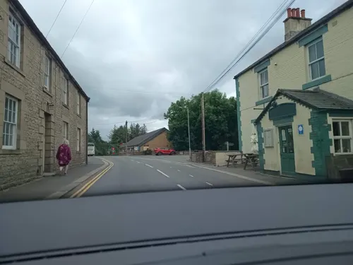
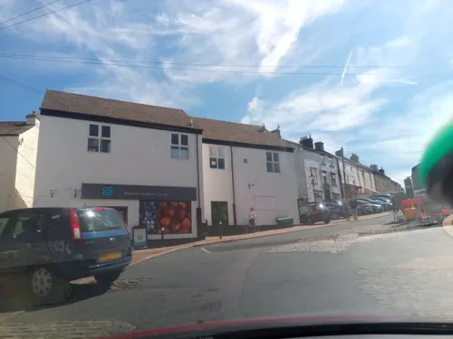
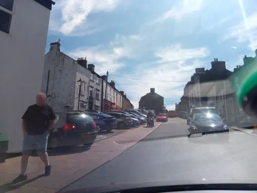
Jack's Take Away
Fast food · Pizza, Burger, Kebab, Sunday Lunch
Front Street, Alston

Where to stay6


History
The earliest evidence of population in the area comes from pottery fragments, a gold basket-earring and flint tools found in one of two barrows located 2 miles (3.2 km) NNW of Alston at Kirkhaugh. Excavated in 1935, the barrows were dated between 2000 BC and 1700 BC.
Evidence of Roman activity in the area comes from the earth ramparts of Whitley Castle, thought to be the Roman fort (Castra) of Epiacum built and rebuilt by the Sixth and Twentieth Legions between the 2nd and 3rd centuries. The fort lies on the Maiden Way Roman road which runs north from Kirkby Thore (Bravoniacum) to Carvoran (Magnae) on Hadrian's Wall. Whitley Castle would have guarded this central supply route to Hadrian's Wall, and may also have helped protect lead and silver deposits in the upper reaches of the South Tyne valley.
The name of the town is recorded in 1164–71 as Aldeneby and in 1209 as Aldeneston, and seems to mean "the settlement or farmstead belonging to [a Viking man named] Halfdan".
In the 10th century, Alston Moor was part of the Liberty of Tynedale, which was an estate of the Scottish Kings within England, a situation that resulted in many years of confusion over the sovereignty of the area.
Read more of the history
In 1085, the Barons de Veteriponte became the first recorded Lords of the Manor; they held the moor on behalf of the kings of Scotland while the kings of England retained the mineral rights. This was confirmed in a hearing during 1279 that concluded that the miners of the area were distinct from the local population, thus paying their dues to the English crown instead of to Scotland. As a result, the miners lived in their own self-regulated communities under English protection.
In 1296 John de Balliol, the king of Scotland, invaded the North of England; as a result Edward I moved to reclaim the Scottish estates and Tynedale, which included Alston Moor, was taken under direct control of the English crown where it remains.
Despite the town being on the Tyne and being historically part of Tynedale, the area has never been part of either Hexhamshire or Northumberland but part of Cumberland and later Cumbria. This was probably because the mines in the area were at one time administered from Carlisle.
Historically the area has been mined for lead, zinc, iron, copper, and coal. The nearby Roman fort of Whitley Castle (Epiacum) may in part have been sited to control and protect the lead mines there.
In the 13th century, the area was known as the silver mines of Carlisle — silver was found in a high proportion (up to 40 troy ounces per long ton or 1.2 g/kg of smelted lead) and was used to create coinage in the Royal Mint established in Carlisle for the purpose. Most mining was very small scale until the mid-18th century, with 119 lead mines in the parish of Alston in 1768.
The biggest mine owner in the area was the London Lead Company; this Religious Society of Friends (Quakers) organisation with enlightened employment policies established an interest in the area during the early 18th century. In 1745, it began construction of a school, a library, a sanitary house, a surgeon's house, a market hall with clock tower, a laundry and a 'ready-money' shop in Nenthead, 5 miles (8 km) away. By the 1840s the mines were producing an average of 7,600 tons of lead a year.
Many of the last mines closed in the 1950s. A small drift coal mine (Ayle Colliery) is still active today.
From the History section of Alston, Cumbria on Wikipedia, under CC BY-SA 4.0.
More about Alston
Geography
Alston lies within the North Pennines Area of Outstanding Natural Beauty, more than 16.3 miles (26.2 km) by road from the nearest town, Haltwhistle, and is surrounded by moorland. Nearby villages include Garrigill and Nenthead. It is around 44.5 miles (71.6 km) west of Newcastle upon Tyne, 30.1 miles (48.4 km) south east of Carlisle, 19.7 miles (31.7 km) north east of Penrith, and 21.6 miles (34.8 km) south west of Hexham.
Situated at the crossroads/junction of the A686, A689 and B6277, the town lies on the confluence of the River South Tyne and the River Nent. On 18 May 2013 very heavy rain resulted in flooding in seven areas of Alston, affecting thirty-six properties. The Environment Agency records indicate that 51mm of rain fell that day.
The landscape of the area is built up from limestone, sandstone and shale. The area is rich in minerals, in particular lead deposits, and the landscape has been heavily influenced by the effects of varying methods of mining over the centuries.
This town has a cool and relatively rainy oceanic climate (Cfb, according to the Köppen climate classification), with mild summers and chilly winters, with snowfalls. It is one of the coldest and snowiest inhabited places in England.
From the Wikipedia article Alston, Cumbria, under CC BY-SA 4.0.
Notable people from Alston
- Hugh Lee PattinsonEnglish industrial chemist (1796-1858)
- Fiona ReynoldsBritish civil servant and academic administrator
- Jeff WrightFootballer (born 1952)
Born in Alston, according to Wikidata (CC0). Each name links to its Wikipedia article.
Churches and places of worship4
Shopping6
Gas and EV charging2
Schools, colleges and libraries4
Healthcare2
Map of Alston
41 places. The map loads OpenStreetMap tiles when you open it.
Getting there and nearby towns
Carlisle Lake District Airport (CAX) is the nearest airport with scheduled flights listed in OpenStreetMap, 17 miles away.
- Haydon Bridge 14 mi northeast, about 22 min by car
- Penrith 16 mi southwest, about 26 min by car
- Hexham 17 mi northeast, about 28 min by car
- Wetheral 17 mi west, about 27 min by car
- Stanhope 17 mi east, about 28 min by car
- Carlisle 21 mi west, about 33 min by car
- Shap 21 mi southwest, about 34 min by car
- Dalston 22 mi west, about 35 min by car
- Consett 24 mi east, about 39 min by car
- Prudhoe 26 mi northeast, about 41 min by car
Drive times are estimates from straight-line distance, not routes.
Towns near Alston


Keep exploring
Local news
Headlines from INDB.
Reviews, tips and questions
Loading what members have shared...
Sources and licences
- GeoNames (CC BY 4.0): population, coordinates, regions and time zone
- Mapillary (see each image): photos
- OpenStreetMap contributors (ODbL 1.0): places, airports, map data
- Wikidata (CC0 1.0): elevation, founding date, time zone, website
- Wikimedia Commons (see each image): photos
- Wikipedia (CC BY-SA 4.0): overview and history text
Photo credits
- Market Cross, Alston, Cumbria (2005), Carl Bendelow, CC BY-SA 2.0
- St Augustine's Church, Alston, John Lord, CC BY-SA 2.0
- Blackstock's Baker's Shop, Victuallers, CC BY-SA 4.0
- Quaker Meeting House alston, Victuallers, CC BY-SA 4.0
- Angel Inn, Alston, Mike Quinn, CC BY-SA 2.0
- Street-level photo, victuallers, CC BY-SA 4.0
- Street-level photo, victuallers, CC BY-SA 4.0
- Street-level photo, zuse, CC BY-SA 4.0
- Street-level photo, zuse, CC BY-SA 4.0
- Street-level photo, zuse, CC BY-SA 4.0
- Street-level photo, victuallers, CC BY-SA 4.0
- Street-level photo, victuallers, CC BY-SA 4.0
- Street-level photo, zuse, CC BY-SA 4.0
- Street-level photo, victuallers, CC BY-SA 4.0
- Street-level photo, victuallers, CC BY-SA 4.0
- Street-level photo, victuallers, CC BY-SA 4.0
- Street-level photo, victuallers, CC BY-SA 4.0
- Street-level photo, victuallers, CC BY-SA 4.0
- Street-level photo, victuallers, CC BY-SA 4.0
- Street-level photo, zuse, CC BY-SA 4.0
- Street-level photo, victuallers, CC BY-SA 4.0
- Street-level photo, zuse, CC BY-SA 4.0
- Street-level photo, victuallers, CC BY-SA 4.0
Page built November 10, 2026. Spotted a mistake? Tell us or suggest a place.