


Why visit Alveley
Townapedia lists 3 museums and landmarks, 3 parks and trails, 17 places to eat, 2 places to stay and 1 attraction in and around town.
Highlights include Victoria Bridge, The Engine House, Dudmaston Hall and Severn Valley Country Park.
Weather in Alveley
Forecast from MET Norway (CC BY 4.0). Full forecast
About Alveley
Alveley is a village in the Severn Valley in southeast Shropshire, England, about 11 miles (18 km) south-southeast of Bridgnorth. It is in the civil parish of Alveley and Romsley. The Office for National Statistics (ONS) estimated that the parish population was 2,100 in mid-2022. It is served by bus service 297 (Kidderminster - Bridgnorth) operated by Select Bus Services.
From the Wikipedia article Alveley (this version), under CC BY-SA 4.0.
Photos of Alveley

Things to do1

Victoria Bridge
Bridge · 3.2 mi
Bridge crossing the River Severn in Worcestershire, England, UK
Museums and landmarks3


Dudmaston Hall
Museum · 2.9 mi
Country house in Shropshire, England, UK

Parks, trails and playgrounds3

Severn Valley Country Park
Park · 0.5 mi
Park in Shropshire, United Kingdom
Restaurants and cafes17
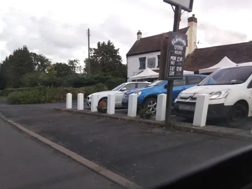
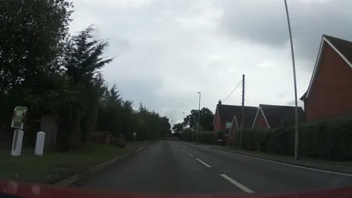



5 more on the map.
Where to stay2
Churches and places of worship3
Schools, colleges and libraries2
Healthcare1
Map of Alveley
32 places. The map loads OpenStreetMap tiles when you open it.
Getting there and nearby towns
Birmingham Airport (BHX) is the nearest airport with scheduled flights listed in OpenStreetMap, 25 miles away.
- Kidderminster 6 mi southeast, about 10 min by car
- Bridgnorth 6 mi northwest, about 10 min by car
- Kingswinford 8 mi east, about 13 min by car
- Stourbridge 9 mi east, about 14 min by car
- Stourport-on-Severn 9 mi south, about 14 min by car
- Wombourne 9 mi northeast, about 14 min by car
- Brierley Hill 10 mi east, about 16 min by car
- Hartlebury 10 mi southeast, about 16 min by car
- Dudley 12 mi east, about 19 min by car
- Wolverhampton 13 mi northeast, about 21 min by car
Drive times are estimates from straight-line distance, not routes.
Towns near Alveley


Keep exploring
Local news
Headlines from INDB.
Reviews, tips and questions
Loading what members have shared...
Sources and licences
- GeoNames (CC BY 4.0): population, coordinates, regions and time zone
- Mapillary (see each image): photos
- OpenStreetMap contributors (ODbL 1.0): places, airports, map data
- Wikidata (CC0 1.0): elevation, founding date, time zone, website, landmarks and historic places
- Wikimedia Commons (see each image): photos
- Wikipedia (CC BY-SA 4.0): overview and history text
Photo credits
- The Three Horseshoes, Alveley, Richard Law, CC BY-SA 2.0
- 19-21 Centre Place, Alveley, Richard Law, CC BY-SA 2.0
- 16 and 17 Centre Place, Alveley, P L Chadwick, CC BY-SA 2.0
- Elm Cottage, Alveley, Richard Law, CC BY-SA 2.0
- 7 Centre Place, Alveley, Richard Law, CC BY-SA 2.0
- The Chantry, Alveley, Richard Law, CC BY-SA 2.0
- Church Farm House, Alveley, Richard Law, CC BY-SA 2.0
- 6695 Victoria Bridge Severn Valley Railway, Duncan Harris, CC BY-SA 2.0
- Alveley Church, Gammock, CC BY-SA 4.0
- Highley Church, Gammock, CC BY-SA 4.0
- LMs 8F 2-8-0 48773, GWR 0-6-0PT 1501, GWR 4-6-0 4930 'Hagley Hall' & BR 4MT 2-6-4T 80079 The Engine House, Highley, SVR 20.08.09 (10256721175), Gillett's Crossing from Bristol, United Kingdom, CC BY 2.0
- Street-level photo, southglos, CC BY-SA 4.0
- Street-level photo, southglos, CC BY-SA 4.0


Page built November 10, 2026. Spotted a mistake? Tell us or suggest a place.