

Annalong, United Kingdom
Annalong is a town of 1,760 people in Northern Ireland, United Kingdom.
Why visit Annalong
Townapedia lists 2 museums and landmarks, 3 parks and trails, 3 places to eat and 1 place to stay in and around town.
Highlights include Annalong Marine Park and Quarter Road Picnic Area.
Weather in Annalong
Forecast from MET Norway (CC BY 4.0). Full forecast
About Annalong
Annalong (from Irish Áth na Long, meaning 'ford of the ships') is a seaside village in County Down, Northern Ireland. It is at the foot of the Mourne Mountains, 8 miles (13 km) south of Newcastle. Annalong is in the civil parish of Kilkeel, the barony of Mourne, and the Newry and Mourne District Council area. It had a population of 2,037 at the 2021 census.
From the Wikipedia article Annalong (this version), under CC BY-SA 4.0.
Museums and landmarks2

Parks, trails and playgrounds3


Restaurants and cafes3
The Galley
Restaurant · Fish And Chips
Mo-Th 09:00-20:00; Fr-Sa 09:00-21:00; Su 12:00-18:00
Where to stay1

History
In the census report of 1659, Annalong is referred to as a 'quarter' - a sub-division of a townland - in this case Moneydarraghmore. Like practically every locality in Mourne, the name derives from the Irish Celtic (Gaelic) - Ath na Long. This means 'the ford of the ships' - a reference to some crossing on the river near where it enters the harbour. It likely relates to around a thousand years ago when the Viking longships found some shelter at the mouth of the river. There is no material evidence of the Vikings ever having settled here. However, there are some words in the local dialect which would appear to suggest Norse influence, such as; 'selk', the local name for the common seal; to 'set allow' is to set on fire; to 'hain' is to eke out; 'holm' refers to low-lying land close to the river.
On 13 January 1843, fishing boats from Newcastle and Annalong set out for the usual fishing stations but were caught in a gale. Fourteen boats were lost in the heavy seas, including a boat that had come to the rescue. Only two boats survived, the Victoria and the Brothers. In all, 76 men perished, 30 of them from Annalong.
It is estimated that around 250 men from Annalong served in the Great War (1914–1918). These men were all volunteers, as conscription was only applied to Great Britain, not Ireland.
From the History section of Annalong on Wikipedia, under CC BY-SA 4.0.
More about Annalong
Education
Annalong has one school in the village, Annalong Primary School, which also includes a nursery unit. It was built in 1958 and replaced church schools in the village. The Annalong Primary School Nursery Unit was opened in September 2000.
From the Wikipedia article Annalong, under CC BY-SA 4.0.
Notable people from Annalong
- Alan DornanNorthern Irish footballer (born 1962)
- Matilda Marian PullanBritish writer
Born in Annalong, according to Wikidata (CC0). Each name links to its Wikipedia article.
Churches and places of worship5
Shopping1
Gas and EV charging1
Schools, colleges and libraries1
Healthcare1
Map of Annalong
18 places. The map loads OpenStreetMap tiles when you open it.
Getting there and nearby towns
George Best Belfast City Airport (BHD) is the nearest airport with scheduled flights listed in OpenStreetMap, 35 miles away.
- Kilkeel 5 mi southwest, about 8 min by car
- Castlewellan 10 mi north, about 17 min by car
- Dundrum 11 mi north, about 17 min by car
- Rostrevor 12 mi west, about 20 min by car
- Warrenpoint 14 mi west, about 23 min by car
- Ardglass 16 mi northeast, about 26 min by car
- Downpatrick 17 mi northeast, about 27 min by car
- Newry 18 mi west, about 30 min by car
- Ballynahinch 20 mi north, about 33 min by car
- Banbridge 23 mi northwest, about 37 min by car
Drive times are estimates from straight-line distance, not routes.
Towns near Annalong


Keep exploring
Local news
Headlines from INDB.
Reviews, tips and questions
Loading what members have shared...
Sources and licences
- GeoNames (CC BY 4.0): population, coordinates, regions and time zone
- Mapillary (see each image): photos
- OpenStreetMap contributors (ODbL 1.0): places, airports, map data
- Wikidata (CC0 1.0): elevation, founding date, time zone, website
- Wikimedia Commons (see each image): photos
- Wikipedia (CC BY-SA 4.0): overview and history text
Photo credits
- Orange arch in Annalong 2018-07-25, August Schwerdfeger, CC BY 4.0
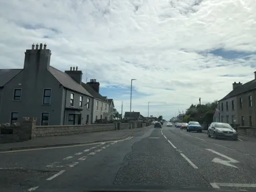
- Street-level photo, laye, CC BY-SA 4.0
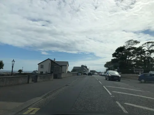
- Street-level photo, laye, CC BY-SA 4.0
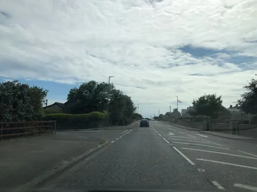
- Street-level photo, laye, CC BY-SA 4.0
- Street-level photo, laye, CC BY-SA 4.0
- Street-level photo, laye, CC BY-SA 4.0
- Street-level photo, laye, CC BY-SA 4.0
- Street-level photo, laye, CC BY-SA 4.0
Page built November 10, 2026. Spotted a mistake? Tell us or suggest a place.