


Warrenpoint, United Kingdom
Warrenpoint is a town of 7,670 people in Northern Ireland, United Kingdom.
Why visit Warrenpoint
Townapedia lists 7 museums and landmarks, 10 parks and trails, 18 places to eat and 2 places to stay in and around town.
Highlights include Narrow Water Keep, Narrow Water Castle, Narrow Water Picnic Area and Warrenpoint Marine Parade Amenity Area.
Weather in Warrenpoint
Forecast from MET Norway (CC BY 4.0). Full forecast
About Warrenpoint
Warrenpoint is a small port town and civil parish in County Down, Northern Ireland. It sits at the head of Carlingford Lough, south of Newry, and is separated from the Republic of Ireland by a narrow strait. The town is beside the village of Rostrevor and is overlooked by the Mournes and Cooley Mountains. Warrenpoint sprang up within the townland of Ringmackilroy (from Irish Rinn Mhic Giolla Ruaidh 'McIlroy's point'), and is locally nicknamed "The Point", which also represents the town's full name in Irish, An Pointe.
From the Wikipedia article Warrenpoint (this version), under CC BY-SA 4.0.
Museums and landmarks7

Parks, trails and playgrounds10



Restaurants and cafes18
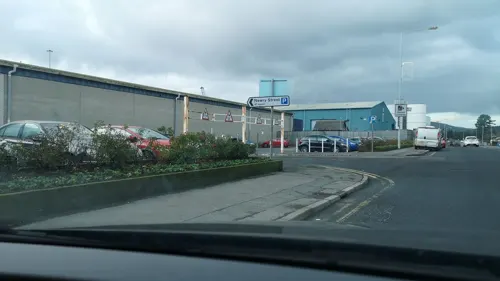
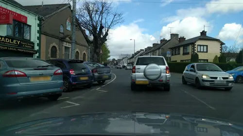
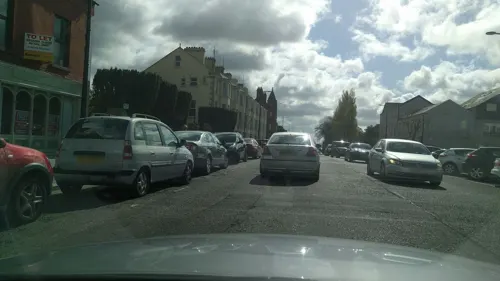
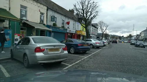




6 more on the map.
Where to stay2
History
The area of Warrenpoint was formerly known as Rinn Mhic Giolla Ruaidh ("McIlroy's point"), anglicised Ringmackilroy, which is still the name of the townland in which it sits. Earlier, it was also known as Portyneil, which may come from Port Uí Néill ("O'Neill's port") or Port an Aoil ("port of the lime").
The earliest reference to the settlement of Warrenpoint is in 1744. It is believed to come from the English surname Waring. It is reported that By 1750 there were only two houses in the village, "with a few huts for the occasional residence of the fishermen during the oyster season". In the following fifty years, however, its scenic setting and coastal location seem to have hastened its swift growth and by 1837 it had 462 houses.
Fairs were held once a month and a market every Friday. In the mid-19th century, Newry merchants obtained a government grant to create a tidal dock at the village, as prior to 1850 ships of above 150 tonnes could not get further up the lough than Narrow Water.
A railway connection opened on 9 May 1849, increasing Warrenpoint's popularity as a holiday destination. and Warrenpoint became popular as a resort town. Thousands flocked to the resort every year, where most took the passenger ferry to Omeath in County Louth. The Warrenpoint railway station closed in January 1965, while the ferry continued on a seasonal basis until 2015.
Read more of the history
A bandstand in the town park provided concerts and a saltwater swimming pool was built in 1908. The baths were opened by Captain Roger Hall on Whit Monday, 8 June in that year, but they are now closed to the public.
On 6 February 1921, during the Irish War of Independence, the Irish Republican Army ambushed an Ulster Special Constabulary (USC) patrol in Warrenpoint. The ambush took place on Seaview Road and one USC constable was killed.
During World War II, on 15 July 1944 two Royal Air Force aircraft (an Airspeed Oxford (LX 598) and a Miles Martinet (MS626) from No. 290 Squadron RAF) were taking part in a civil defence demonstration at Warrenpoint. In misty conditions the planes collided, the pilots only having seen each other at the last minute. The resultant explosion killed all on board, and pieces of the planes fell onto Church Street, Duke Street and Queen Street and into Carlingford Lough. The bodies of the airmen were recovered and taken to the mortuary in Newry.
On 27 August 1979, during "the Troubles", the Provisional Irish Republican Army (IRA) ambushed a British Army convoy at nearby Narrow Water Castle. Eighteen soldiers were killed in what became known as the Warrenpoint ambush – the British Army's greatest loss-of-life in a single incident during the conflict.
On 12 April 1989, Joanne Reilly was killed by the IRA in a van bomb attack on Warrenpoint Royal Ulster Constabulary base. Inadequate warning was given.
From the History section of Warrenpoint on Wikipedia, under CC BY-SA 4.0.
More about Warrenpoint
Education
St Dallan's Primary School, a Catholic primary school of about 700 pupils, was opened in September 2000 by the then Education Minister Martin McGuinness. Formed from the merger of the Star of the Sea and St. Peters Primary Schools, it was built on the site of the former St. Peters Primary School.
Other schools in the area include Dromore Road Primary School and St Mark's High School.
From the Wikipedia article Warrenpoint, under CC BY-SA 4.0.
Notable people from Warrenpoint
- Clodagh RodgersBritish singer (1947–2025)
- Bithia Mary CrokerIrish writer (1847–1920)
- P. J. BradleyIrish nationalist politician (1940-2017)
- Kevin KielyBritish writer
- Doreen HallCanadian music educator and violinist
- Ted McNeillassociation football player (1929-1979)
- John HutchinsonBritish academic
- Carmel HannaNorthern Irish politician (born 1946)
Born in Warrenpoint, according to Wikidata (CC0). Each name links to its Wikipedia article.
Churches and places of worship5
St. Peter's RC Church
Church · Roman Catholic
Great George's Street South, Warrenpoint
Warrenpoint Presbyterian Church
Church · Presbyterian
Meeting Street, Warrenpoint
Shopping1
Gas and EV charging2
Schools, colleges and libraries4
St Dallan's Primary School
School · Roman Catholic · 0.5 mi
20 Clonallan Road, Warrenpoint
Healthcare2
Map of Warrenpoint
51 places. The map loads OpenStreetMap tiles when you open it.
Getting there and nearby towns
Belfast International Airport (BFS) is the nearest airport with scheduled flights listed in OpenStreetMap, 38 miles away.
- Newry 6 mi northwest, about 10 min by car
- Banbridge 17 mi north, about 28 min by car
- Portadown 23 mi north, about 38 min by car
- Craigavon 24 mi north, about 39 min by car
- Armagh 24 mi northwest, about 38 min by car
- Downpatrick 27 mi northeast, about 43 min by car
- Lisburn 30 mi north, about 49 min by car
- Dungannon 35 mi northwest, about 56 min by car
- Belfast 37 mi north, about 59 min by car
- Newtownabbey 41 mi north, about 1 h by car
Drive times are estimates from straight-line distance, not routes.
Towns near Warrenpoint


Keep exploring
Local news
Headlines from INDB.
Reviews, tips and questions
Loading what members have shared...
Sources and licences
- GeoNames (CC BY 4.0): population, coordinates, regions and time zone
- Mapillary (see each image): photos
- OpenStreetMap contributors (ODbL 1.0): places, airports, map data
- Wikidata (CC0 1.0): elevation, founding date, time zone, website, landmarks and historic places
- Wikimedia Commons (see each image): photos
- Wikipedia (CC BY-SA 4.0): overview and history text
Photo credits
- Warrenpoint, July 2010 (02), Ardfern, CC BY-SA 3.0
- Warrenpoint Port - panoramio, JPSgallery, CC BY-SA 3.0
- Street-level photo, imapthestigmatised, CC BY-SA 4.0
- Street-level photo, yannakis, CC BY-SA 4.0
- Street-level photo, jonnymccullagh, CC BY-SA 4.0
- Street-level photo, jonnymccullagh, CC BY-SA 4.0
- Street-level photo, jonnymccullagh, CC BY-SA 4.0
- Street-level photo, jonnymccullagh, CC BY-SA 4.0
- Street-level photo, yannakis, CC BY-SA 4.0
- Street-level photo, imapthestigmatised, CC BY-SA 4.0
- Street-level photo, yannakis, CC BY-SA 4.0
- Street-level photo, jonnymccullagh, CC BY-SA 4.0
- Street-level photo, jonnymccullagh, CC BY-SA 4.0
- Street-level photo, jonnymccullagh, CC BY-SA 4.0
- Street-level photo, imapthestigmatised, CC BY-SA 4.0
- Street-level photo, jonnymccullagh, CC BY-SA 4.0
- Street-level photo, imapthestigmatised, CC BY-SA 4.0
- Street-level photo, jonnymccullagh, CC BY-SA 4.0
- Street-level photo, imapthestigmatised, CC BY-SA 4.0
- Street-level photo, imapthestigmatised, CC BY-SA 4.0
- Street-level photo, jonnymccullagh, CC BY-SA 4.0
- Street-level photo, imapthestigmatised, CC BY-SA 4.0
- Street-level photo, jonnymccullagh, CC BY-SA 4.0
- Street-level photo, yannakis, CC BY-SA 4.0
Page built November 10, 2026. Spotted a mistake? Tell us or suggest a place.