


Why visit Asfordby
Townapedia lists 4 museums and landmarks, 11 places to eat and 2 places to stay in and around town.
Highlights include Melton Carnegie Museum.
Weather in Asfordby
Forecast from MET Norway (CC BY 4.0). Full forecast
About Asfordby
Asfordby is a village and civil parish in the Melton district of Leicestershire, England. The village is located to the west of Melton Mowbray on the A6006 road and north-east of Leicester.
From the Wikipedia article Asfordby (this version), under CC BY-SA 4.0.
Museums and landmarks4
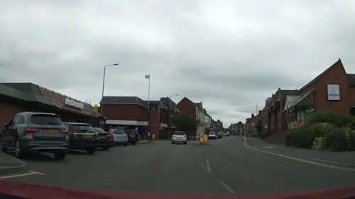
Melton Carnegie Museum
Museum · 3.2 mi
Museum in Melton Mowbray, Leicestershire, England, United Kingdom

Restaurants and cafes11
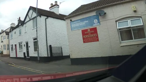
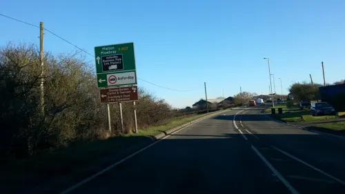

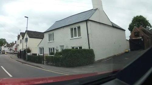
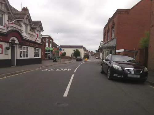
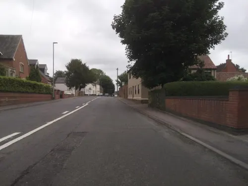
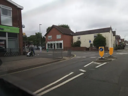
Chung's Cottage
Fast food · Chinese
11 Bradgate Lane, Melton Mowbray
We-Mo 17:00-22:00
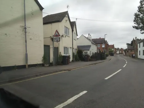
Asfordby Chippy
Fast food · Fish And Chips
4 Bradgate Lane, Melton Mowbray
Mo-Sa 12:00-14:00,16:30-22:00
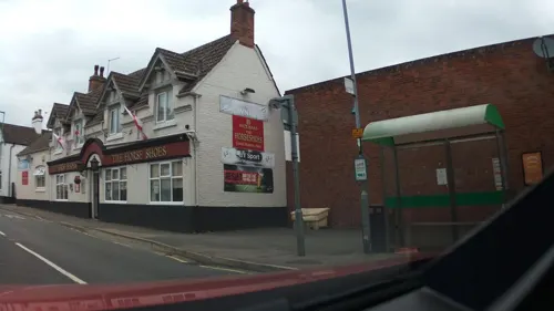


Holwell Sports And Social Club
Bar and pub · 1.4 mi
41 Welby Road, Melton Mowbray
Where to stay2

Shoby Lodge Farmhouse Bed And Breakfast
Motel and hotel · 1.3 mi
Loughborough Road, Melton Mowbray
Churches and places of worship9

All Saints' Church, Asfordby
Church
Church in Asfordby, Leicestershire, England, UK

St Mary's Church, Melton Mowbray
Church · 3.0 mi
Grade I listed church in Melton, Leicestershire, England,UK


Church of St James the Greater
Church · 2.8 mi
Church in Ab Kettleby, Leicestershire, England, UK
Church of St Michael
Church · 2.7 mi
Church in Brooksby, Leicestershire, England, UK
Notable people from Asfordby
 Thomas UnderwoodCanadian building developer and mayor of Calgary (1863–1948)Photo: Unknown author Unknown author, Public domain
Born in Asfordby, according to Wikidata (CC0). Each name links to its Wikipedia article.
Shopping1
Schools, colleges and libraries4
Healthcare1
Map of Asfordby
32 places. The map loads OpenStreetMap tiles when you open it.
Getting there and nearby towns
Nottingham City Airport (NQT) is the nearest airport with scheduled flights listed in OpenStreetMap, 12 miles away.
- Melton Mowbray 3 mi east, about 5 min by car
- Queniborough 5 mi southwest, about 9 min by car
- Long Clawson 5 mi north, about 8 min by car
- Syston 7 mi southwest, about 11 min by car
- Wymeswold 7 mi northwest, about 11 min by car
- Burton on the Wolds 7 mi west, about 12 min by car
- Mountsorrel 9 mi west, about 14 min by car
- Birstall 9 mi southwest, about 15 min by car
- Loughborough 10 mi west, about 16 min by car
- Leicester 11 mi southwest, about 18 min by car
Drive times are estimates from straight-line distance, not routes.
Towns near Asfordby


Keep exploring
Local news
Headlines from INDB.
Reviews, tips and questions
Loading what members have shared...
Sources and licences
- GeoNames (CC BY 4.0): population, coordinates, regions and time zone
- Mapillary (see each image): photos
- OpenStreetMap contributors (ODbL 1.0): places, airports, map data
- Wikidata (CC0 1.0): elevation, founding date, time zone, website, landmarks and historic places
- Wikimedia Commons (see each image): photos
- Wikipedia (CC BY-SA 4.0): overview and history text
Photo credits
- St. Mary's Church, Melton Mowbray, Simon Burchell, CC BY-SA 4.0
- Asfordby church, Kev747 at English Wikipedia, CC BY-SA 3.0
- St. Peter's Church, Saxelbye 02, Simon Burchell, CC BY-SA 4.0
- Blue Bell Inn Frisby, Russ Hamer, CC BY-SA 3.0
- Street-level photo, southglos, CC BY-SA 4.0
- Street-level photo, southglos, CC BY-SA 4.0
- Street-level photo, southglos, CC BY-SA 4.0
- Street-level photo, southglos, CC BY-SA 4.0
- Street-level photo, southglos, CC BY-SA 4.0
- Street-level photo, southglos, CC BY-SA 4.0
- Street-level photo, southglos, CC BY-SA 4.0
- Street-level photo, adam2, CC BY-SA 4.0
- Street-level photo, southglos, CC BY-SA 4.0
Page built November 10, 2026. Spotted a mistake? Tell us or suggest a place.