
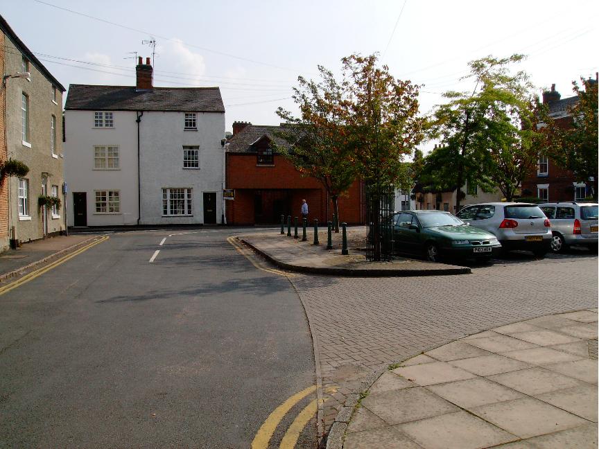


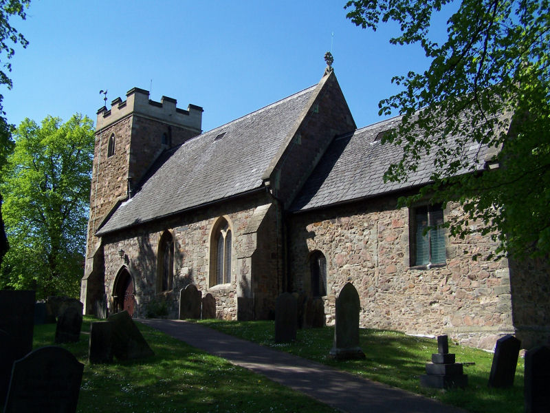
Why visit Syston
Townapedia lists 4 museums and landmarks, 18 parks and trails, 35 places to eat, 3 places to stay and 1 attraction in and around town.
Highlights include Abbey Pumping Station Museum, Belgrave Hall, Birstall Meadows and Humberstone Park LNR.
Weather in Syston
Forecast from MET Norway (CC BY 4.0). Full forecast
About Syston
Syston is a town and civil parish in the district of Charnwood in Leicestershire, England. The population was 11,508 at the 2001 census, rising to 12,804 at the 2011 census.
From the Wikipedia article Syston (this version), under CC BY-SA 4.0.
Things to do1

Museums and landmarks4

Abbey Pumping Station Museum
Museum · 3.3 mi
Local Authority Museum in the East Midlands, United Kingdom

Belgrave Hall
Museum · 3.0 mi
Queen Anne-style Grade II* listed building in Belgrave, Leicester, England, UK
Humber stone
Monument and historic site · 1.8 mi
Glacial boulder in Leicester, England

Parks, trails and playgrounds18



Cossington Meadows
Park · 2.9 mi
Nature reserve in Leicestershire, England
6 more on the map.
Restaurants and cafes35
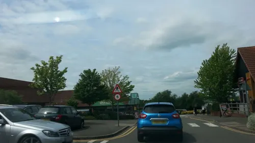


Grosvenor Snooker Bar & Lounge
Bar and pub · 1.1 mi
1269 Melton Road, Leicester
Mo-Sa 10:00-23:00; Su 10:30-22:30
The Pharmacie Arms
Bar and pub · 1.1 mi
3 High Street, Leicester
Mo off; Tu,We 17:00-23:00; Th 16:00-23:00; Fr 15:00-23:00; Sa...

23 more on the map.
More about Syston
Geography
The Midland Main Line runs through the town. Syston railway station currently has one platform on what remains of the former goods line, served by local Leicester to Lincoln via Nottingham and Newark services on the Ivanhoe Line.
The River Soar runs past the western edge of the town, shortly after passing under the A46 road which underwent significant improvements early in 2006 at the Hobby Horse roundabout, a popular meeting place on the Leicester Western Bypass.
Economy
Syston is the location of the headquarters of Pukka Pies, which is one of the largest employers in the town, employing 250 people. Syston is home to a monthly community newspaper, Syston Town News. Dunelm Group began in the town.
From the Wikipedia article Syston, under CC BY-SA 4.0.
Notable people from Syston
 Mahalia BurkmarBritish singerPhoto: Raph_PH, CC BY 2.0
- Luke ThomasEnglish association football player, born 2001
- Terri DwyerBritish actress
- Megan Lowecricketer (1915-2017)
Born in Syston, according to Wikidata (CC0). Each name links to its Wikipedia article.
Where to stay3
Churches and places of worship17
Church of St Mary the Virgin and St John the Baptist, Rothley
Church · 3.3 mi
Syston Evangelical Baptist Church
Church · Baptist · 0.9 mi
1111 Melton Road, Leicester
Shopping9
Gas and EV charging4
Schools, colleges and libraries7
Bishop Ellis Catholic Voluntary Academy
School · Roman Catholic · 0.9 mi
Barkby Thorpe Lane, Leicester
Healthcare3
Map of Syston
101 places. The map loads OpenStreetMap tiles when you open it.
Getting there and nearby towns
East Midlands Airport (EMA) is the nearest airport with scheduled flights listed in OpenStreetMap, 15 miles away.
- Leicester 4 mi southwest, about 7 min by car
- Nottingham 19 mi north, about 31 min by car
- Derby 24 mi northwest, about 38 min by car
- Burton upon Trent 26 mi west, about 41 min by car
- Coventry 27 mi southwest, about 43 min by car
- Northampton 31 mi south, about 50 min by car
- Mansfield 32 mi north, about 51 min by car
- Sutton Coldfield 32 mi west, about 52 min by car
- Peterborough 35 mi east, about 57 min by car
- Birmingham 38 mi west, about 1 h by car
Drive times are estimates from straight-line distance, not routes.
Towns near Syston


Keep exploring
Local news
Headlines from INDB.
Reviews, tips and questions
Loading what members have shared...
Sources and licences
- GeoNames (CC BY 4.0): population, coordinates, regions and time zone
- Mapillary (see each image): photos
- OpenStreetMap contributors (ODbL 1.0): places, airports, map data
- Wikidata (CC0 1.0): elevation, founding date, time zone, website, landmarks and historic places
- Wikimedia Commons (see each image): photos
- Wikipedia (CC BY-SA 4.0): overview and history text
Photo credits
- Syston, Dgamble997, CC BY-SA 3.0
- Abbey Pumping station, Jonnic1 at English Wikipedia, Public domain
- Birstall Meadows 5, Dudley Miles, CC BY-SA 4.0
- Humberstone Park LNR 6, Dudley Miles, CC BY-SA 4.0
- River Soar from Wanlip Meadows 2, Dudley Miles, CC BY-SA 4.0
- Birstall Church, Kev747 at English Wikipedia, Public domain
- Thurmaston, Kev747 at English Wikipedia, CC BY-SA 3.0
- Watermead Country Park, Unknown author, CC BY-SA 3.0
- Belgrave Hall, Leicester, RobinLeicester, CC BY-SA 4.0
- Street-level photo, adam2, CC BY-SA 4.0
- Street-level photo, adam2, CC BY-SA 4.0
- Street-level photo, adam2, CC BY-SA 4.0
- Street-level photo, adam2, CC BY-SA 4.0
- Street-level photo, chrisw100, CC BY-SA 4.0
- Street-level photo, chrisw100, CC BY-SA 4.0
- Street-level photo, adam2, CC BY-SA 4.0
- Street-level photo, adam2, CC BY-SA 4.0
- Street-level photo, adam2, CC BY-SA 4.0

Page built November 10, 2026. Spotted a mistake? Tell us or suggest a place.