


Why visit Balham
Townapedia lists 61 museums and landmarks, 65 parks and trails, 220 places to eat, 8 places to stay and 26 attractions in and around town.
Highlights include Streatham Hill Theatre, Clapham Picturehouse, London Sewing Machine Museum and Studio Voltaire.
Weather in Balham
Forecast from MET Norway (CC BY 4.0). Full forecast
About Balham
Balham () is an area in south-west London, England, in the London Borough of Wandsworth, with small parts extending into the neighbouring London Borough of Lambeth. It has been settled since Saxon times and appears in the Domesday Book as Belgeham.
From the Wikipedia article Balham (this version), under CC BY-SA 4.0.
Things to do26

Streatham Hill Theatre
Cinema and theater · 1.2 mi
Former grand theatre, now mostly disused.
110 Streatham Hill, London


Above The Stag Theatre
Cinema and theater · 2.6 mi
Theatre in London, England

Apollo Victoria Theatre
Cinema and theater · 3.2 mi
Theatre in London, England, UK

Battersea Bridge
Bridge · 2.4 mi
Arch bridge with cast-iron girders and granite piers crossing the River Thames in London

Battersea Railway Bridge
Bridge · 2.1 mi
Bridge across the River Thames in London

Chelsea Bridge
Bridge · 2.4 mi
Bridge over the River Thames in west London

Chelsea Theatre
Cinema and theater · 2.5 mi
Studio theatre in Chelsea, London, England

Fulham Railway Bridge
Bridge · 2.8 mi
Truss bridge that crosses the River Thames in London, which carries both trains and pedestrians

Granada, Tooting
Cinema and theater · 1.7 mi
Former theatre and cinema, now bingo hall, in Tooting, Wandsworth, London, England, UK

Chelsea Classic Cinema
Cinema and theater · 2.8 mi
Former cinema in Chelsea, Kensington and Chelsea, London, England

Diamond Jubilee Footbridge
Bridge · 2.0 mi
Foot- and cycle bridge over the Thames in London, England
14 more on the map.
Museums and landmarks61
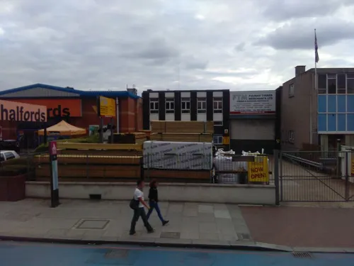
London Sewing Machine Museum
Museum · 1.0 mi
308 Balham High Road, London
Sa[1] 14:00-17:00; Dec-Jan off


Antique Breadboard Museum
Museum · 3.2 mi
Small museum in Putney, London, England, UK

Fulham Palace
Museum · 3.2 mi
Grade I listed historic house museum in London Borough of Hammersmith and Fulham, United Kingdom

Fulham War Memorial
Monument and historic site · 2.9 mi
War memorial in London

House of Dreams Museum
Museum · 3.2 mi
Art museum of tiles and sculpture in East Dulwich, London

National Army Museum
Museum · 2.6 mi
Museum in London, England, United Kingdom

Putney Sculpture Trail
Museum · 3.4 mi
Sculpture trail in south-west London

Gallery Midnight.
Museum · 0.8 mi
12 Ritherdon Road, London
Tu-Th 11:00-18:00; Fr 11:00-00:00; Sa 09:00-17:30
Carlyle's House
Museum · 2.5 mi
Historic house museum in London, England, UK

Mausoleum Of Sir Joseph William Bazalgette 20 Yards To North East Of Chancel Of St Marys Church
Monument and historic site · 2.9 mi
Mausoleum in Merton, London, England, UK
49 more on the map.
Parks, trails and playgrounds65



Burton’s Court
Park · 2.7 mi
Park in Royal Borough of Kensington and Chelsea, United Kingdom
53 more on the map.
Restaurants and cafes220
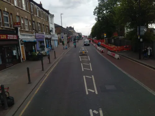
Phresh Pottery Cafe
Cafe · Coffee Shop, Juice · 1.1 mi
Paint your own pottery
103e Lavender Hill, London
Mo,Th,Su 12:00-17:30; Tu,We off; Fr,Sa 10:00-19:00
Coffee Wake Cup
Cafe · Coffee Shop · 1.0 mi
14 Clapham Park Road
Mo-Th 07:30-17:00; Fr-Sa 07:30-18:00; Su 08:00-18:00
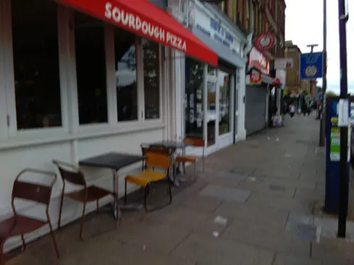
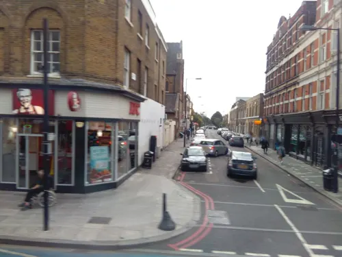
Lievito madre
Restaurant · Pizza · 1.2 mi
181 Clapham Manor Street
Mo-Th 12:00-22:30; Fr-Sa 12:00-23:00; Su 12:00-21:30
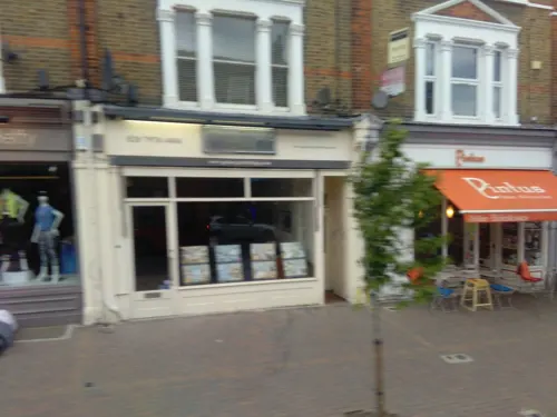
Little Bianca
Restaurant · Italian, Cocktails · 0.8 mi
132 Northcote Road, London
Mo-Sa 07:30-22:30; Su 08:30-18:00

CafePod Coffee
Cafe · 0.5 mi
After 14 years of helping people make amazing coffee at home, we’ve created a space where you can taste great coffee & pick up...
27 Abbeville Road, London
Mo-Fr 09:00-18:00

Honest Burgers
Restaurant · Burger · 1.1 mi
75 Venn Street, London
Mo-Th 11:30-22:00, Fr-Sa 11:30-23:00, Su 11:30-22:00
208 more on the map.
History
The settlement appears in the Domesday Book as Belgeham. Bal refers to 'rounded enclosure' and ham to a homestead, village or river enclosure. It was held by Geoffrey Orlateile. Its Domesday Assets were: 1+1⁄2 ploughs, eight acres (three hectares) of meadow. It rendered (in total): £2.
The Balham area has been settled since Saxon times. Balham Hill and Balham High Road follow the line of the Roman road Stane Street to Chichester – (now the A24 road). Balham is recorded in several maps in the 1600s as Ballam or Balham Hill or Balham Manor. The village was within the parish of Streatham. Large country retreats for the affluent classes were built there in the 18th century; however, most development occurred after the opening of Balham railway station on the line to Crystal Palace in 1856.
Read more of the history
On 14 October 1940 Balham Underground station was badly damaged by air raids on London during World War II. People took shelter in the tube station during the raids. A bomb fell in the High Road and through the roof of the Underground station below, bursting water and gas mains and killing around 64 people. This particular incident was featured in Atonement, a 2001 novel by Ian McEwan. An image of the aftermath is of the bus, on route 88, which had fallen into the bomb crater. All passengers, along with the driver and conductor, had escaped from the bus before it fell. The bus was hauled out of the crater after two weeks.
On the morning of 17 July 1974 a 10-pound bomb planted by the Provisional IRA in a dustbin near Irene House (a Social Security office) and St Mary & St John the Divine Anglican Church exploded,
From the History section of Balham on Wikipedia, under CC BY-SA 4.0.
More about Balham
Geography
Balham is overwhelmingly in Wandsworth, with only small parts in the neighbouring Borough of Lambeth and encompasses the A24 north of Tooting Bec and the roads radiating off it. The Balham SW12 postcode includes the southern part of Clapham Park otherwise known as Clapham South and the Hyde Farm area, both east of Cavendish Road and within Lambeth (historically Clapham, except for Weir Road) as well as a small detached part of Clapham south of Nightingale Lane, and part of Battersea (the roads north of Nightingale Lane). The southern part of Balham, towards Tooting Bec, near the 1930s block of Art Deco flats called Du Cane Court and the area to the south of Wandsworth Common, comes under the SW17 postcode. The Heaver Estate lies to the south of Balham in Tooting. The Estate mainly comprises substantial houses, was built in the grounds of the old Bedford Hill House and was the work of local Victorian builder, Alfred Heaver.
Balham is situated between four south London commons: Clapham Common to the north, Wandsworth Common to the west, Tooting Graveney Common to the south, and the adjoining Tooting Bec Common to the east – the latter two historically distinct areas are referred to by both Wandsworth Council and some local people as Tooting Common.
Neighbouring areas are: Battersea, Brixton, Clapham Park, Clapham South, Streatham, Tooting and Tooting Bec.
Economy
Balham's town centre has a variety of bars, restaurants and shops including major chains. There are also local services, including independent stores, coffee houses and brasseries. There are two car parks serving the vicinity, one behind the Sainsbury's (181 spaces) and one in front of Waitrose.
From the Wikipedia article Balham, under CC BY-SA 4.0.
Notable people from Balham
 Jimmy HillEnglish association football personality (1928-2015)Photo: Lewis Clarke, CC BY-SA 2.0
 Captain SensibleBritish singer, guitarist and bassistPhoto: Livitika326, CC BY 4.0
 Nicholas PinnockBritish actorPhoto: Danielle G. Campbell, CC BY-SA 4.0
 Zain AsherNigerian journalist based in the UKPhoto: Dennis Agyarko, CC BY 4.0
 Brian PaddickBritish politician and police officer (born 1958)Photo: ©House of Lords / photography by Roger Harris, CC BY 3.0
 Richard StokesBritish politician (1897-1957)Photo: Bassano Ltd, Public domain
 Matthew StrachanEnglish composer and singer-songwriterPhoto: Misterrandaculous, CC BY-SA 4.0
- Alan KnightEnglish footballer (born 1961)
- Arnold Spencer-SmithEnglish clergyman, photographer, explorer (1883-1916)
- Healey WillanAnglo-Canadian composer and organist (1880–1968)
- Junior MendesEnglish footballer (born 1976)
- Percy FenderEnglish cricketer (1892-1985)
Born in Balham, according to Wikidata (CC0). Each name links to its Wikipedia article.
Where to stay8
Churches and places of worship85
Shopping84
Gas and EV charging11
Schools, colleges and libraries55
Christ Church, Streatham Church of England Primary School
School · Anglican · 1.3 mi
Cotherstone Road, London
Healthcare37
Map of Balham
250 places. The map loads OpenStreetMap tiles when you open it.
Getting there and nearby towns
London City Airport (LCY) is the nearest airport with scheduled flights listed in OpenStreetMap, 9 miles away.
- City of Westminster 3 mi north, about 5 min by car
- London 4 mi north, about 7 min by car
- Thornton Heath 4 mi southeast, about 7 min by car
- Barnes 5 mi west, about 7 min by car
- Croydon 5 mi southeast, about 8 min by car
- Holborn 5 mi north, about 8 min by car
- Islington 6 mi north, about 10 min by car
- Wallington 6 mi south, about 10 min by car
- Worcester Park 6 mi southwest, about 10 min by car
- Sutton 7 mi south, about 12 min by car
Drive times are estimates from straight-line distance, not routes.
Towns near Balham


Keep exploring
Local news
Headlines from INDB.
Reviews, tips and questions
Loading what members have shared...
Sources and licences
- GeoNames (CC BY 4.0): population, coordinates, regions and time zone
- Mapillary (see each image): photos
- OpenStreetMap contributors (ODbL 1.0): places, airports, map data
- Wikidata (CC0 1.0): elevation, founding date, time zone, website, landmarks and historic places
- Wikimedia Commons (see each image): photos
- Wikipedia (CC BY-SA 4.0): overview and history text
Photo credits
- Balham tube 080120, Nick Cooper, CC BY-SA 3.0
- Ascension church balham, Penpalthe, CC BY-SA 4.0
- Above the Stag at London Pride 2015 (29625567572), David Jones from Isle of Wight, United Kingdom, CC BY 2.0
- Battersea Railway Bridge, London 04, Edwardx, CC BY-SA 3.0
- Chelsea Bridge, London, Tom Graham, CC BY-SA 2.0
- Chelsea Theatre London, tomislav medak, CC BY 2.0
- FulhamRailwayBridge, Graeme Kerr, CC BY 2.5
- Gala Bingo, Tooting, SW17, Ewan Munro, CC BY-SA 2.0
- Fulham Palace, Michael Coppins, CC BY-SA 4.0
- War Memorial, Vicarage Gardens, Fulham - London. (6441097013), Jim Linwood from London, CC BY 2.0
- House of Dreams, 42 Melbourne Grove, East Dulwich, 2018 (1), No Swan So Fine, CC BY-SA 4.0
- National Army Museum - Joy of Museums, Joyofmuseums, CC BY-SA 4.0
- Bishops-park, Peter Damian, CC BY-SA 3.0
- Centre for Wildlife Gardening, JoshuaAnthonyGill, CC BY-SA 4.0
- Figges Marsh, looking south - Dec 2020 (DD coord. 51.41388 -0.1604), Euphorbia7, CC BY-SA 4.0
- Clapham Common 360 Panorama - July 2007, Diliff, CC BY 3.0
- LaetitiaSadierVoltaire150717-15, Raph_PH, CC BY 2.0
- Saint Mary & Saint John The Divine (view from street entrance), KyotoWatanabe, CC BY-SA 4.0
- Former Playhouse Theatre (9176302961), Reading Tom from Reading, UK, CC BY 2.0
- St. James Clapham 01, Tillmann Lenz, CC BY-SA 4.0
- Picturehouse Clapham, Tero Koistinen, CC BY-SA 4.0
- Exodus, Alan Thornhill 20201001 121844 (50403513713), Irid Escent, CC BY-SA 2.0
- Church of the Ascension, Battersea, Yuki8145 at English Wikipedia, Attribution
- Wastenotcuttingboard, Sobebunny, CC BY-SA 3.0
- London - Apollo Victoria Theatre, Fred Romero from Paris, France, CC BY 2.0
- Battersea Bridge at sunset - panoramio, lizericson, CC BY-SA 3.0
- DAVID LLOYD GEORGE - 3 Routh Road Wandsworth Common Wandsworth London SW18 3SW, Spudgun67, CC BY-SA 4.0
- Street-level photo, ris, CC BY-SA 4.0
- Street-level photo, ris, CC BY-SA 4.0
- Street-level photo, damianb, CC BY-SA 4.0
- Street-level photo, ris, CC BY-SA 4.0
- Street-level photo, ris, CC BY-SA 4.0
- Street-level photo, ris, CC BY-SA 4.0
- Street-level photo, ris, CC BY-SA 4.0
- Street-level photo, ris, CC BY-SA 4.0
- Street-level photo, ris, CC BY-SA 4.0
- Street-level photo, ris, CC BY-SA 4.0
- Street-level photo, ris, CC BY-SA 4.0
- Street-level photo, ris, CC BY-SA 4.0
- Street-level photo, ris, CC BY-SA 4.0
- Street-level photo, cyclestreets, CC BY-SA 4.0
- Street-level photo, ris, CC BY-SA 4.0
- Street-level photo, ris, CC BY-SA 4.0
- Street-level photo, ris, CC BY-SA 4.0
- Street-level photo, ris, CC BY-SA 4.0
- Street-level photo, ris, CC BY-SA 4.0
- Street-level photo, ris, CC BY-SA 4.0
- Street-level photo, ris, CC BY-SA 4.0
- Street-level photo, ris, CC BY-SA 4.0
- Street-level photo, ris, CC BY-SA 4.0
- Street-level photo, damianb, CC BY-SA 4.0


Page built November 10, 2026. Spotted a mistake? Tell us or suggest a place.