



Why visit Bethesda
Townapedia lists 9 museums and landmarks, 3 parks and trails, 21 places to eat, 6 places to stay and 3 attractions in and around town.
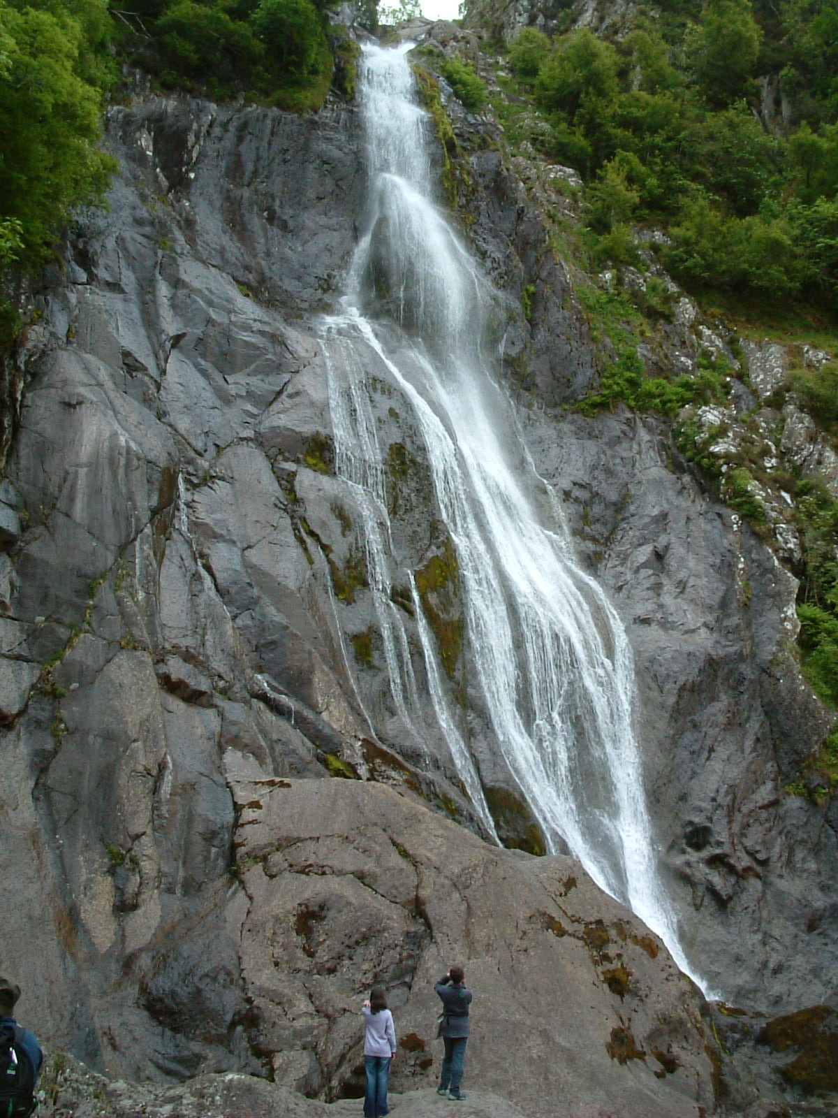
Highlights include Aber Falls and Spinnies Nature Reserve.
Weather in Bethesda
Forecast from MET Norway (CC BY 4.0). Full forecast
About Bethesda
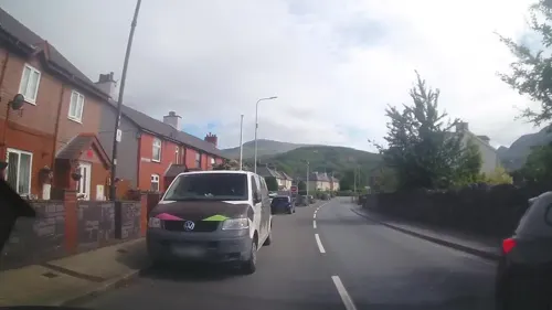
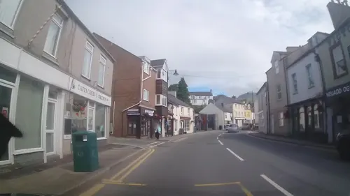
Bethesda (; Welsh: [bɛˈθɛsda]) is a town and community in Gwynedd, Wales. It is on the banks of Afon Ogwen and on the edge of Snowdonia. It is about 5 miles (8 km) south-west of Bangor. It is a predominantly Welsh-speaking town.
From the Wikipedia article Bethesda, Gwynedd (this version), under CC BY-SA 4.0.
Travel tips from other travellers: Bethesda on Wikivoyage (CC BY-SA 4.0).
Photos of Bethesda


Things to do3


Museums and landmarks9
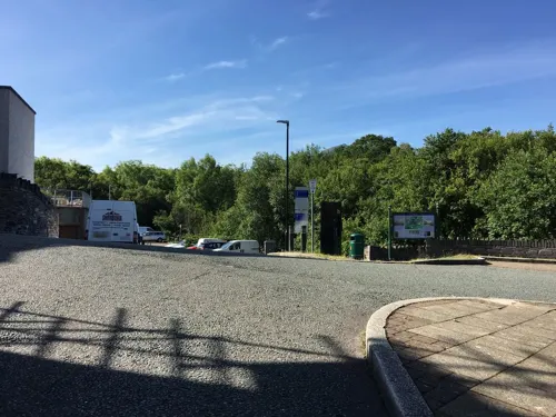
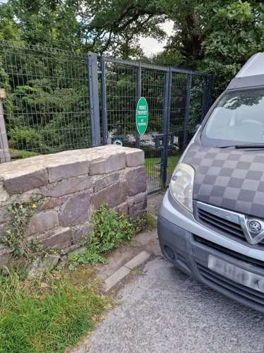
Ty'n Tŵr
Monument and historic site · 0.5 mi
Adnabyddir hefyd fel Tŷ John Iorc - dyddiad c.1450-c.1500

Parks, trails and playgrounds3

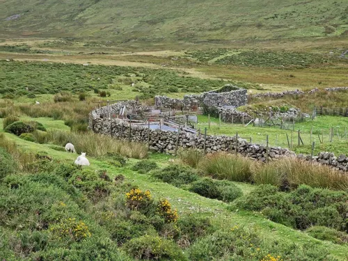
Spinnies Nature Reserve
Park · 3.3 mi
Nature reserve at Aberogwen, Wales


Restaurants and cafes21
Tŷ Isaf
Bar and pub
9 High Street, Bangor
Mo-Sa 11:30-23:30;Su 11:00-11:00

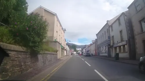
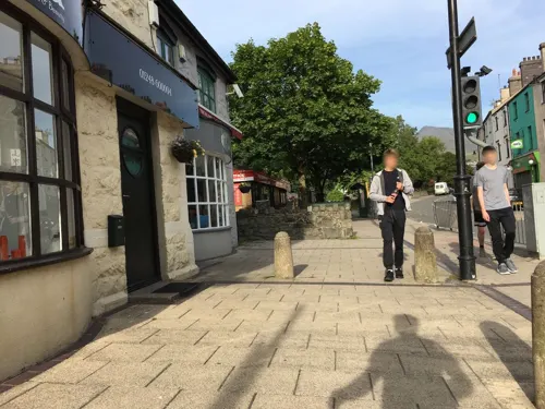
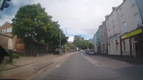
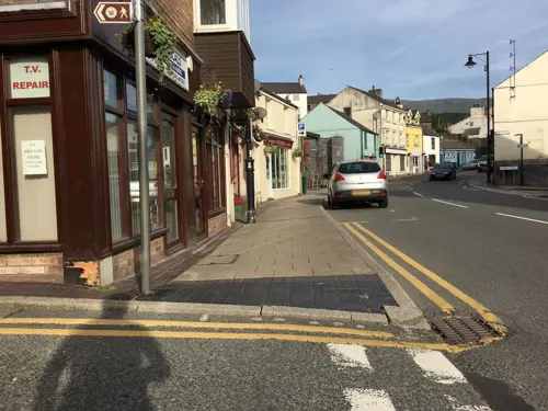


9 more on the map.
History
The settlement's ancient name was Cilfoden, formerly known as Glanogwen. In 1820 the Bethesda Independent Chapel was built and the town subsequently grew around and later named after it. The chapel was enlarged in 1840.
The town grew around the slate quarrying industries; the largest of the local quarries is the Penrhyn Quarry. At its peak, the town exported purple slate all over the world. Penrhyn Quarry suffered a three-year strike led by the North Wales Quarrymen's Union between 1900 and 1903 – the longest industrial dispute in British history. This led to the building of a street of houses in the nearby village of Tregarth, by the quarry owners, to house the families of those workers who opted not to strike. It also led to the formation of three co-operative quarries, the largest of which Pantdreiniog dominated the town for many years.
The A5 road runs through Bethesda and marked the border between Lord Penrhyn's land, and the freehold land. Most of the town is to the east and northeast of the road, with housing packed onto the hillside in irregular rows, built on the commons. On the current high street, all the public houses are found on the south side of the road.
Read more of the history
The narrow gauge Penrhyn Quarry Railway opened in 1801 to serve Penrhyn Quarry. It connected the quarry with Port Penrhyn on the coast and operated until 1962. In 1884, a branch of the London and North Western Railway's network from Bangor was opened, along with a station for the town. The line closed to passengers in 1951 and to freight in 1963.
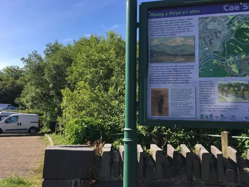
The trackbed of the Penrhyn Quarry Railway towards Porth Penrhyn is taken over by the Lôn Las Ogwen cycle path.
From the History section of Bethesda, Gwynedd on Wikipedia, under CC BY-SA 4.0.
Notable people from Bethesda
 John OgwenWelsh actorPhoto: Geoff Charles, CC BY-SA 4.0
 James Edmund VincentWelsh barrister, journalist, and authorPhoto: W.T. Pike (died 1924), Public domain
- David Ffrangcon-DaviesWelsh operatic baritone
- Caradog PrichardBritish writer (1904–1980)
- Goronwy Roberts, Baron Goronwy-RobertsBritish politician (1913–1981)
- Bobby AthertonWelsh footballer (1876-1917)
- William John ParryWelsh businessman, politician and author (1842–1927)
- Leila MeganeWelsh opera singer
- Idris FosterBritish celticist (1911-1984)
- Frederick Llewellyn-JonesBritish politician (1866-1941)
- John Elias DaviesWelsh harpist, called Telynor y Gogledd
Born in Bethesda, according to Wikidata (CC0). Each name links to its Wikipedia article.
Where to stay6
Churches and places of worship8
Shopping2
Schools, colleges and libraries7
Healthcare1
Map of Bethesda
60 places. The map loads OpenStreetMap tiles when you open it.
Getting there and nearby towns
RAF Valley - Anglesey Airport (VLY) is the nearest airport with scheduled flights listed in OpenStreetMap, 21 miles away.
- Tregarth 1 mi northwest, about 2 min by car
- Bangor 4 mi northwest, about 7 min by car
- Llanberis 5 mi southwest, about 8 min by car
- Menai Bridge 6 mi northwest, about 9 min by car
- Llanfairfechan 6 mi northeast, about 10 min by car
- Llanfairpwllgwyngyll 7 mi northwest, about 11 min by car
- Penmaenmawr 8 mi northeast, about 13 min by car
- Caernarfon 9 mi west, about 15 min by car
- Gaerwen 9 mi west, about 15 min by car
- Llanrwst 11 mi east, about 18 min by car
Drive times are estimates from straight-line distance, not routes.
Towns near Bethesda


Keep exploring
Local news
Headlines from INDB.
Reviews, tips and questions
Loading what members have shared...
Sources and licences
- GeoNames (CC BY 4.0): population, coordinates, regions and time zone
- Mapillary (see each image): photos
- OpenStreetMap contributors (ODbL 1.0): places, airports, map data
- Wikidata (CC0 1.0): elevation, founding date, time zone, website, landmarks and historic places
- Wikimedia Commons (see each image): photos
- Wikipedia (CC BY-SA 4.0): overview and history text
Photo credits
- Christ Church (Bethesda), Florin Huluba, CC BY-SA 4.0
- Aber Falls, James@hopgrove at English Wikipedia, Public domain
- Bethesda, Jerusalem Chapel (35833213886), The National Churches Trust, CC BY 2.0
- Bethania Welsh Independent Chapel, GeraintTudur2, CC BY-SA 3.0
- Pant yr Ardd, Andrew Woodvine from Bangor, CC BY-SA 2.0
- View of the Spinnies Nature Reserve, Gwynedd, North Wales, Lesbardd, CC BY-SA 4.0
- A glacial erratic (boulder), covered in lichen and moss, on the slopes of Moel-y-Ci, Seraaron, CC BY-SA 4.0
- Llanllechid, UK - panoramio (31), Alan C. Bonnici, CC BY-SA 3.0
- Llanllechid, UK - panoramio (28), Alan C. Bonnici, CC BY-SA 3.0
- Llanllechid, UK - panoramio (33), Alan C. Bonnici, CC BY-SA 3.0
- Llanllechid, UK - panoramio (26), Alan C. Bonnici, CC BY-SA 3.0
- Capel Jerusalem, Florin Huluba, CC BY-SA 4.0
- Llanllechid, UK - panoramio (35), Alan C. Bonnici, CC BY-SA 3.0
- Llanllechid, UK - panoramio (27), Alan C. Bonnici, CC BY-SA 3.0
- Street-level photo, trigpoint, CC BY-SA 4.0
- Street-level photo, trigpoint, CC BY-SA 4.0
- Street-level photo, gness, CC BY-SA 4.0
- Street-level photo, trigpoint, CC BY-SA 4.0
- Street-level photo, gness, CC BY-SA 4.0
- Street-level photo, gness, CC BY-SA 4.0
- Street-level photo, gness, CC BY-SA 4.0
- Street-level photo, trigpoint, CC BY-SA 4.0
- Street-level photo, santon, CC BY-SA 4.0
- Street-level photo, trigpoint, CC BY-SA 4.0
- Street-level photo, gness, CC BY-SA 4.0
- Street-level photo, trigpoint, CC BY-SA 4.0
- Street-level photo, gness, CC BY-SA 4.0
- Street-level photo, gness, CC BY-SA 4.0
- Street-level photo, gness, CC BY-SA 4.0
- Street-level photo, gness, CC BY-SA 4.0
- Street-level photo, santon, CC BY-SA 4.0
- Street-level photo, trigpoint, CC BY-SA 4.0
- Street-level photo, santon, CC BY-SA 4.0


Page built November 10, 2026. Spotted a mistake? Tell us or suggest a place.