


West Wickham, United Kingdom
West Wickham is a town of 14,276 people in England, United Kingdom.
Why visit West Wickham
Townapedia lists 9 museums and landmarks, 45 parks and trails, 114 places to eat, 1 place to stay and 5 attractions in and around town.
Highlights include Bromley Little Theatre, Churchill Theatre, Bethlem Museum of the Mind and Bromley Parish Church Memorial.
Weather in West Wickham
Forecast from MET Norway (CC BY 4.0). Full forecast
About West Wickham
West Wickham is an area of south London, England, in the London Borough of Bromley. It lies south of Park Langley, Eden Park, Beckenham and Bromley town centre, west of Hayes and north of Coney Hall, east of Spring Park and Shirley. It is 10 miles (16 km) south-east of Charing Cross on the line of a Roman road, the London to Lewes Way. Before the creation of Greater London in 1965, West Wickham was in Kent.
From the Wikipedia article West Wickham (this version), under CC BY-SA 4.0.
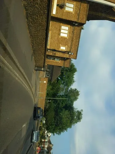
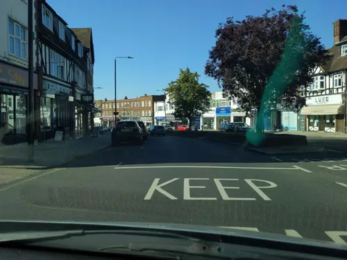
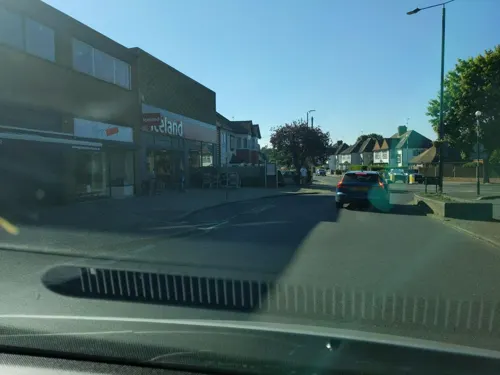
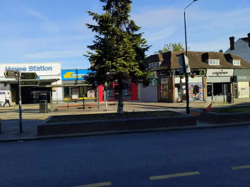
Photos of West Wickham

Things to do5

Bromley Little Theatre
Cinema and theater · 3.2 mi
Community theatre in London Borough of Bromley, England

Churchill Theatre
Cinema and theater · 2.9 mi
Theatre in Bromley, London, England

Warehouse Theatre
Cinema and theater · 3.4 mi
Former theatre in Croydon, London, England

Ashcroft Theatre
Cinema and theater · 3.4 mi
Theatre within the Fairfield Halls, Croydon, London, England
Museums and landmarks9

Bethlem Museum of the Mind
Museum · 2.2 mi
Re-sited and relaunched art and medical museum, sited at the Bethlam Royal Hospital, Beckenham, London Borough of Bromley, United Kingdom

Bromley Parish Church Memorial
Monument and historic site · 2.9 mi
War memorial in London

Bromley War Memorial
Monument and historic site · 2.9 mi
War memorial in London

Keston Roman villa
Monument and historic site · 2.3 mi
Roman villa in the UK

Romano-British site, Wickham Court Farm
Monument and historic site · 0.4 mi
Archaeological site in Bromley, London

Bethlem Gallery
Museum · 1.1 mi
Art gallery in Beckenham, Bromley, England

Meridian Marker Stone
Monument and historic site · 0.7 mi
Green painted four sided obelisk with domed top marking the path of the Greenwich Meridian 0 degrees longitude line.
Parks, trails and playgrounds45


Addiscombe Railway Park
Park · 2.9 mi
Park in London Borough of Croydon, United Kingdom


Coombe Wood
Park · 2.2 mi
Woodland and garden area in the London Borough of Croydon

Cotelands
Park · 3.1 mi
Small park near Park Hill, managed by the London Borough of Croydon

Croham Hurst
Park · 2.8 mi
Woodland in Croydon, Greater London, England, United Kingdom


Addington Court Golf Club
Golf course · 1.5 mi
18 hole Par 68 Championship Course & 18 hole Par 68 Falconwood Course & 9 hole Par 31 Academy Course
Featherbed Lane, Croydon
Beckenham Place Park
Park · 3.3 mi
Park in London Borough of Lewisham, England, UK
33 more on the map.
Restaurants and cafes114
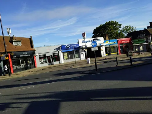
The New Inn
Bar and pub · 1.4 mi
59 Station Approach, Bromley
Mo-Th 10:00-23:00; Fr-Sa 10:00-24:00; Su 11:00-22:30
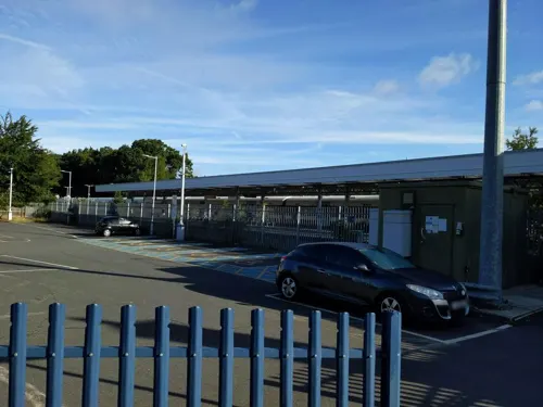
Ciao Pizza
Restaurant · Pizza · 1.3 mi
68 Station Approach, Bromley
Tu-Th 17:00-21:30; Fr 17:00-22:00; Sa 16:00-22:00; Su 16:00-21:00
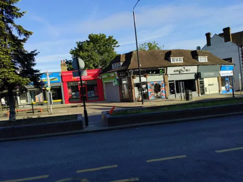
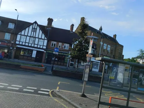
Nonno
Restaurant · Italian · 1.4 mi
53 Station Approach, Bromley
We-Sa 12:00-14:00,17:45-21:45; Su 12:00-16:00
Tugra
Restaurant · Turkish · 1.4 mi
44 Station Approach, Bromley
Mo 12:00-22:30; We 12:00-22:30; Th 12:00-23:00; Fr-Sa 12:00-23:55;...
The Real Ale Way
Bar and pub · 1.4 mi
55 Station Approach, Bromley
Mo-Th 14:00-22:00

Capone's Pizza Parlour
Restaurant · Pizza · 1.4 mi
179 Selsdon Park Road, South Croydon
Mo-Th 16:30-22:00; Fr,Sa 12:00-23:00; Su 12:00-22:30

Caffè Nero
Cafe · Coffee Shop · 0.7 mi
55 High Street, West Wickham
Mo-Fr 07:00-18:00; Sa 07:30-18:00; Su 07:30-17:30

Elkervan
Restaurant · Turkish · 0.8 mi
54 Croydon Road, West Wickham
Mo-Sa 11:30-10:30, Su 13:00-22:30
102 more on the map.
History
The Roman site near West Wickham, possibly an open-air market with slight long-term settlement, is probably the site of Noviomagus Cantiacorum.
West Wickham is mentioned in the Domesday Book of 1086 with the following entry: "In lordship 2 ploughs. 24 villagers have 4 ploughs. 13 slaves; a church; a mill at 20d.; a wood at 10 pigs. Value before 1066 8; later 6: now 13. Godric son of Karl held it from King Edward". The name dates to Anglo-Saxon and is possibly a corruption of the Latin vicus, denoting an earlier Roman settlement. The 'West' was added in the 13th century to differentiate it from East Wickham, situated some distance away to the north-east.
Read more of the history
In Tudor times, the manor house, Wickham Court, was expanded by the Boleyn family and the area was popular for deer hunting. The Grade I listed building was built by Sir Henry Heydon in 1469. His wife was Anne Boleyn (Bullen), a daughter of Sir Geoffrey Boleyn, who was Lord Mayor of London in 1469. She was the great-aunt of Queen Anne Boleyn, second wife of Henry VIII. The house was later sold to the Lennard family in 1580. In 1935, it was sold and adapted for use as an hotel. After World War II, it was sold to the Daughters of Mary and Joseph, an International Congregation of Religious Sisters, and became Coloma College (a teacher training college). This was run by the Daughters of Mary and Joseph until 1978. From 1978 to 1996 it was occupied by Schiller International University. It later became home to Wickham Court Preparatory School until 2023 and is now occupied by the St Mary and St John Coptic Orthodox & Centre.
Until the 1900s West Wickham remained a small village. The inter-war period saw rapid development and the transformation of the area into a suburb of London, facilitated by the arrival of the railway station, which opened in 1882. Much of the formerly extensive West Wickham Common was built over, though a small tract was purchased and preserved by the Corporation of London in 1892. At the crossroads by the Swan pub formerly stood the Stocks Tree, a large elm tree so named as it lay behind the village stocks. It was damaged during the laying down of sewerage pipes in the 1930s and was moved to Blake Recreation Ground in 1935, but later blew down in a storm. The tree is commemorated in the village sign and a plaque, both of which stand outside the library, with a piece of the tree on display inside.
Modern-day West Wickham is an affluent suburb of Greater London, after the London Government Act 1963, which came into effect in 1965, with West Wickham absorbed into the London Borough of Bromley. The area is a fairly typical London suburb, consisting of predominantly 1930s housing, with a row of shops, restaurants and a library along the High Street and another set around the train station area. There are four pubs in the area - The Swan and the Wheatsheaf on the High Street, The Railway by the station and The Real Ale Way micropub, opened in 2021 in Station Road. There are also several parks, such as West Wickham playing fields (McAndrews), Wickham Park and Blakes Recreation ground.
From the History section of West Wickham on Wikipedia, under CC BY-SA 4.0.
More about West Wickham
Education
West Wickham (including Coney Hall as it is a district of West Wickham) has four state schools (all primary schools). They are Oak Lodge, Wickham Common, Pickhurst and Hawes Down. St David's Prep and Wickham Court (serving as a nursery, primary school and secondary school) are private schools. In 2012, Wickham Common won a hockey gold medal when they represented Bromley in the London Youth Games.
There are no secondary schools in West Wickham, but there are some in neighbouring areas. Langley Park School for Boys and Langley Park School for Girls are located in Beckenham, Hayes School is located in Hayes, and Ravens Wood School is located in Keston.
All Saints' Catholic School was a secondary school located on Layhams Road, West Wickham, London Borough of Bromley which closed in 2007 a few years after a major fraud scandal.
From the Wikipedia article West Wickham, under CC BY-SA 4.0.
Notable people from West Wickham
 Chris PhilpBritish politician (born 1976)Photo: ©House of Commons, CC BY 3.0
- Jack McManusBritish male musician
- John HallEnglish cricketer, born 1934
- Alan RidoutBritish composer (1934–1996)
- Peter D. Richardsonprofessor of biomedical engineering (1935–2020)
Born in West Wickham, according to Wikidata (CC0). Each name links to its Wikipedia article.
Where to stay1
Churches and places of worship24
St. Mary The Blessed Virgin
Church · Anglican · 0.9 mi
Addington Village Road, Croydon
Shopping17
Gas and EV charging6
Schools, colleges and libraries25
Good Shepherd Catholic Primary and Nursery School
School · Roman Catholic · 0.9 mi
2 Dunley Drive, Croydon
Healthcare14
Map of West Wickham
250 places. The map loads OpenStreetMap tiles when you open it.
Getting there and nearby towns
London Biggin Hill Airport (BQH) is the nearest airport with scheduled flights listed in OpenStreetMap, 3 miles away.
- Croydon 4 mi west, about 6 min by car
- Sutton 8 mi west, about 13 min by car
- Bexley 9 mi northeast, about 14 min by car
- City of Westminster 10 mi northwest, about 17 min by car
- Worcester Park 10 mi west, about 16 min by car
- London 11 mi northwest, about 17 min by car
- Islington 12 mi north, about 20 min by car
- Barking 12 mi north, about 20 min by car
- Ilford 14 mi north, about 22 min by car
- Archway 15 mi north, about 24 min by car
Drive times are estimates from straight-line distance, not routes.
Towns near West Wickham


Keep exploring
Local news
Headlines from INDB.
Reviews, tips and questions
Loading what members have shared...
Sources and licences
- GeoNames (CC BY 4.0): population, coordinates, regions and time zone
- Mapillary (see each image): photos
- OpenStreetMap contributors (ODbL 1.0): places, airports, map data
- Wikidata (CC0 1.0): elevation, founding date, time zone, website, landmarks and historic places
- Wikimedia Commons (see each image): photos
- Wikipedia (CC BY-SA 4.0): overview and history text
Photo credits
- Churchill Theatre, Back ache, CC BY-SA 4.0
- Bethlem Royal Hospital Main building view 1, SLaMNHSFT, CC BY-SA 3.0
- Bromley Parish Church Memorial 2, Back ache, CC BY-SA 4.0
- Bromley War Memorial (Southwest View - 03), Doyle of London, CC BY-SA 4.0
- Keston mausoleum, Udimu, CC BY-SA 4.0
- Romano-British site, Wickham Court Farm, WisDom-UK, CC BY-SA 4.0
- Millers Pond, Spring Park, WisDom-UK, CC BY-SA 4.0
- Addington-hills-view, Harvest1, CC BY 3.0
- Bramley Bank 1, Dudley Miles, CC BY-SA 3.0
- Cotelands 284, Roger W. Haworth ( talk · contribs ), CC BY-SA 3.0
- Croham Hurst path, Dudley Miles, CC BY-SA 3.0
- St Peter's Church, Croydon - West, hahnchen at Wikimedia Commons (must include link if medium allows), CC BY-SA 3.0
- Hayes (Bromley) St Mary the Virgin from north-west (01), Doyle of London, CC BY-SA 4.0
- Addington Church, No machine-readable author provided. Ross Burgess assumed (based on copyright claims)., CC BY-SA 3.0
- Coney Hall Cycle Works, Back ache, CC BY-SA 4.0
- BethlemRoyalHospital, The original uploader was Mtiedemann at English Wikipedia ., CC BY-SA 3.0
- Southeast View of the Church of Saint Mary the Blessed Virgin Church, Addington (03), Doyle of London, CC BY-SA 4.0
- Bromley Blues Club at the Bromley Little Theatre, Back ache, CC BY-SA 4.0
- Warehouse Theatre Warehouse Cafe Bar, Croydon, CR0 (6109125574), Ewan Munro from London, UK, CC BY-SA 2.0
- Addiscombe Railway Park 4, Mx. Granger, CC0
- Ashburton Park, London Borough of Croydon, SE25 CR0 (2352153099), Ewan Munro from London, UK, CC BY-SA 2.0
- Plants and Paths at Coombe Wood Gardens, Ethan Doyle White, CC BY-SA 4.0
- Street-level photo, BackAche, CC BY-SA 4.0
- Street-level photo, paulbiv, CC BY-SA 4.0
- Street-level photo, paulbiv, CC BY-SA 4.0
- Street-level photo, BackAche, CC BY-SA 4.0
- Street-level photo, BackAche, CC BY-SA 4.0
- Street-level photo, BackAche, CC BY-SA 4.0
- Street-level photo, BackAche, CC BY-SA 4.0
- Street-level photo, BackAche, CC BY-SA 4.0
- Street-level photo, BackAche, CC BY-SA 4.0
- Street-level photo, BackAche, CC BY-SA 4.0
- Street-level photo, BackAche, CC BY-SA 4.0
- Street-level photo, paulbiv, CC BY-SA 4.0
- Street-level photo, paulbiv, CC BY-SA 4.0
- Street-level photo, BackAche, CC BY-SA 4.0


Page built November 10, 2026. Spotted a mistake? Tell us or suggest a place.