


Chelsfield, United Kingdom
Chelsfield is a town of 14,507 people in England, United Kingdom.
Why visit Chelsfield
Townapedia lists 11 museums and landmarks, 14 parks and trails and 12 places to eat in and around town.
Highlights include Lullingstone Castle, Lullingstone Roman Villa, Downe Bank and Hewitt's Chalk Bank.
Weather in Chelsfield
Forecast from MET Norway (CC BY 4.0). Full forecast
About Chelsfield
Chelsfield is an area in southeast London, England, within the London Borough of Bromley and, prior to 1965, in the historic county of Kent. It lies south of Goddington, west of Well Hill, north of Pratt's Bottom and east of Green Street Green. The area is split into two distinct areas – the historic 'village' section, and the newer development by the railway station.
From the Wikipedia article Chelsfield (this version), under CC BY-SA 4.0.
Museums and landmarks11

Lullingstone Castle
Museum · 3.0 mi
Historic manor house in the village of Lullingstone in England

Lullingstone Roman Villa
Monument and historic site · 3.0 mi
Roman villa in Lullingstone, Kent, United Kingdom


Crofton Roman Villa
Museum · 2.0 mi
Roman villa in Orpington, in the London Borough of Bromley

Shoreham Memorial Cross
Monument and historic site · 2.5 mi
Hill figure in Shoreham, Kent, England, UK
Parks, trails and playgrounds14


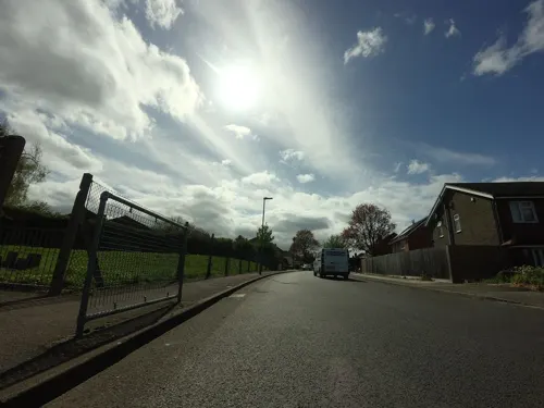

The Warren
Park · 2.4 mi
Nature reserve in St Mary Cray in the London Borough of Bromley



2 more on the map.
Restaurants and cafes12
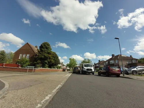
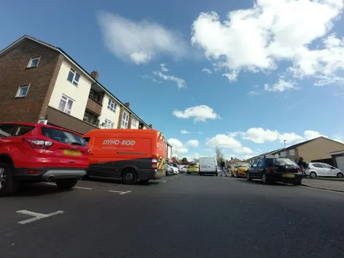
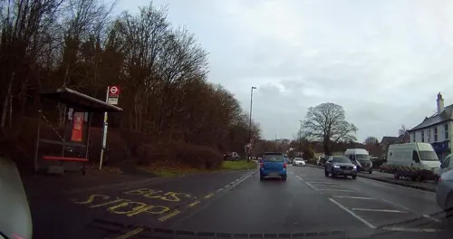
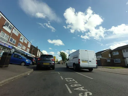
The Frying Pan
Fast food · Fish And Chips · 1.2 mi
27 Eldred Drive, Orpington




Churches and places of worship11

Church of All Saints, Orpington
Church · 1.7 mi
Church in Orpington, London Borough of Bromley, England, UK

St Margaret's Church, Halstead
Church · 1.6 mi
Church in Halstead, Sevenoaks, Kent, England, UK


Church of Saint Botolph, Lullingstone
Church · 2.9 mi
Grade I listed church in Lullingstone, Kent, England, UK
History
The name is recorded in the Domesday Book of 1086 as "Cillesfelle", meaning "land of a man called Cēol". Another older variant was 'Chilesfeld'. The village church was constructed in the early Norman period, and gives its names to the Five Bells pubs. Chelsfield was historically a stopping place for drovers.
In 1868 Chelsfield station was opened, however, it was located 1 mile west of the village. As a result, in 1925 land near the station was bought by Homesteads Ltd. and developed for housing, thus creating what is sometimes referred to as 'New Chelsfield.' Further development occurred after the Second World War, with New Chelsfield eventually merging with Green Street Green and Goddington, however the introduction of the London Green Belt stymied development around the village. The New Chelsfield area is now largely a commuter suburb.
From the History section of Chelsfield on Wikipedia, under CC BY-SA 4.0.
More about Chelsfield
Geography
In practice, Chelsfield is split into two very distinct areas: the historic Chelsfield Village sited to the east of the main Orpington bypass (the A224) and New Chelsfield, which grew up in the first half of the 20th century after the sale of some of the Waring family estates. The A224, known as Court Road, now separates the historic village from its Anglican church which is dedicated to St Martin of Tours and which dates back, in parts, to the 12th Century. Chelsfield is part of the Chelsfield ward for elections to Bromley London Borough Council.
From the Wikipedia article Chelsfield, under CC BY-SA 4.0.
Notable people from Chelsfield
 Michael OakeshottBritish philosopher (1901-1990)Photo: Unknown author, No restrictions
- John AbellEnglish cricketer (1931-2004)
Born in Chelsfield, according to Wikidata (CC0). Each name links to its Wikipedia article.
Gas and EV charging3
Schools, colleges and libraries9
Healthcare4
Map of Chelsfield
64 places. The map loads OpenStreetMap tiles when you open it.
Getting there and nearby towns
London Biggin Hill Airport (BQH) is the nearest airport with scheduled flights listed in OpenStreetMap, 4 miles away.
- Orpington 2 mi northwest, about 3 min by car
- Swanley 3 mi northeast, about 5 min by car
- Chislehurst 5 mi northwest, about 8 min by car
- Sidcup 5 mi north, about 8 min by car
- Hayes 5 mi west, about 8 min by car
- Bexley 6 mi north, about 9 min by car
- Sevenoaks 6 mi southeast, about 10 min by car
- West Wickham 6 mi west, about 10 min by car
- Shirley 8 mi west, about 13 min by car
- Hartley 8 mi east, about 13 min by car
Drive times are estimates from straight-line distance, not routes.
Towns near Chelsfield


Keep exploring
Local news
Headlines from INDB.
Reviews, tips and questions
Loading what members have shared...
Sources and licences
- GeoNames (CC BY 4.0): population, coordinates, regions and time zone
- Mapillary (see each image): photos
- OpenStreetMap contributors (ODbL 1.0): places, airports, map data
- Wikidata (CC0 1.0): elevation, founding date, time zone, website, landmarks and historic places
- Wikimedia Commons (see each image): photos
- Wikipedia (CC BY-SA 4.0): overview and history text
Photo credits
- Chelsfield 2019, Braveheart, CC BY-SA 4.0
- LullingstonVilla-Kent Interior May2001, Unknown author, CC BY-SA 3.0
- Downe Bank, Dudley Miles, CC BY-SA 3.0
- Hewitt's Chalk Bank, chalk mound of waste from excavation of a railway tunnel, Dudley Miles, CC BY-SA 4.0
- High Elms Cuckoo Wood, Dudley Miles, CC BY-SA 3.0
- Orpington All Saints Church CG, CarolGray at English Wikipedia, CC BY-SA 3.0
- St Margaret's Church, Halstead, Jackarias, CC BY-SA 4.0
- Unity Church Orpington, Canthusus2, CC0
- White Hart pub, Orpington High Street, WisDom-UK, CC BY-SA 4.0
- St Olave's Clock Tower, Garry Knight, CC BY-SA 2.0
- Coal tax obelisk Wormley, Roger W Haworth, CC BY-SA 2.0
- Lullingstone Castle Gateway (16th century), Michael Coppins, CC BY-SA 4.0
- Street-level photo, tallguy, CC BY-SA 4.0
- Street-level photo, wasd42, CC BY-SA 4.0
- Street-level photo, tallguy, CC BY-SA 4.0
- Street-level photo, tallguy, CC BY-SA 4.0
- Street-level photo, tallguy, CC BY-SA 4.0
- Street-level photo, wasd42, CC BY-SA 4.0
- Street-level photo, tallguy, CC BY-SA 4.0
- Street-level photo, tallguy, CC BY-SA 4.0
- Street-level photo, tallguy, CC BY-SA 4.0
- Street-level photo, vlivyur, CC BY-SA 4.0
- Street-level photo, tallguy, CC BY-SA 4.0


Page built November 10, 2026. Spotted a mistake? Tell us or suggest a place.