


Why visit Shirley
Townapedia lists 10 museums and landmarks, 52 parks and trails, 123 places to eat, 4 places to stay and 8 attractions in and around town.
Highlights include Churchill Theatre, Croydon Flyover, Shirley Windmill and Bethlem Museum of the Mind.
Weather in Shirley
Forecast from MET Norway (CC BY 4.0). Full forecast
About Shirley
Shirley is an area of south London, England, within the London Borough of Croydon. It lies north of Spring Park and Addington, east of Addiscombe, south of Monks Orchard and west of West Wickham, and 10 miles south-southeast of Charing Cross. Prior to the creation of Greater London in 1965, Shirley was in the administrative county of Surrey.
From the Wikipedia article Shirley, London (this version), under CC BY-SA 4.0.
Photos of Shirley

Things to do8

Churchill Theatre
Cinema and theater · 3.3 mi
Theatre in Bromley, London, England


Fairfield Halls
Cinema and theater · 2.0 mi
Arts, entertainment and conference centre in Croydon, London

The Spread Eagle Theatre
Cinema and theater · 2.2 mi
Pub theatre above the Spread Eagle pub in Croydon, London, England

Warehouse Theatre
Cinema and theater · 1.9 mi
Former theatre in Croydon, London, England

Ashcroft Theatre
Cinema and theater · 2.0 mi
Theatre within the Fairfield Halls, Croydon, London, England

Museums and landmarks10


Bromley Parish Church Memorial
Monument and historic site · 3.3 mi
War memorial in London

Bromley War Memorial
Monument and historic site · 3.2 mi
War memorial in London

Croydon War Memorial
Monument and historic site · 2.2 mi
War memorial in London

Museum of Croydon
Museum · 2.2 mi
Local and social history museum in Croydon, London

Romano-British site, Wickham Court Farm
Monument and historic site · 1.9 mi
Archaeological site in Bromley, London


Bethlem Gallery
Museum · 0.9 mi
Art gallery in Beckenham, Bromley, England

Parks, trails and playgrounds52

Woodside Green
Park · 1.1 mi
Street and green space in the London Borough of Croydon, England, UK


Addiscombe Railway Park
Park · 1.3 mi
Park in London Borough of Croydon, United Kingdom

Coombe Wood
Park · 1.3 mi
Woodland and garden area in the London Borough of Croydon


Betts Park
Park · 2.3 mi
Public park in Penge, London Borough of Bromley, in London, England

Beckenham Place Park
Park · 2.9 mi
Park in London Borough of Lewisham, England, UK
40 more on the map.
Restaurants and cafes123
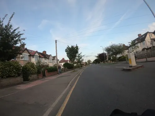
Branching Out
Cafe · Breakfast, Cake, Coffee Shop, Sandwich, Tea · 1.5 mi
149 Croydon Road, Beckenham
Mo-Fr 08:00-16:00; Sa 08:30-16:00; Su 08:00-14:00
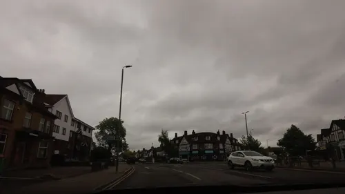
Ember
Restaurant · Steak House · 1.5 mi
145-147 Croydon Road, Beckenham
Tu-Th 12:00-22:30; Fr-Sa 12:00-23:30; Su 12:00-22:00
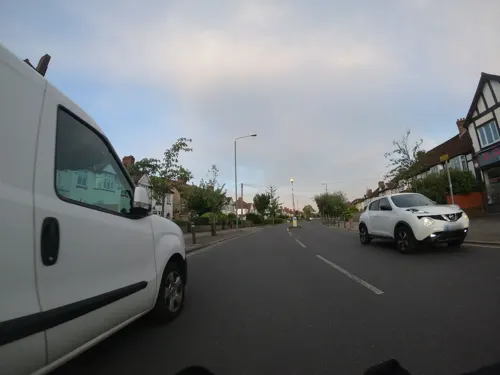
Lugana
Restaurant · Italian · 1.5 mi
8 Eden Park Avenue, Beckenham
Mo 12:00-14:30, 18:00-21:00; Tu-Fr 12:00-14:30, 18:00-22:00; Sa...
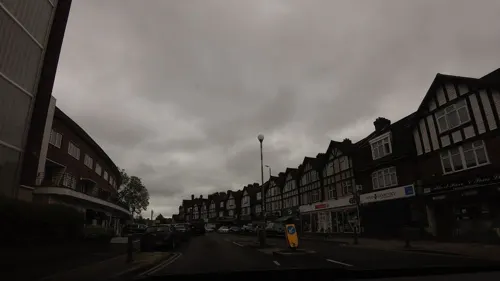
Sunrise Cafe
Cafe · Breakfast, Burger, Sandwich · 1.5 mi
115 Croydon Road, Beckenham
Mo-Sa 06:00-16:00; Su 07:00-16:00


Caffè Nero
Cafe · Coffee Shop · 1.4 mi
55 High Street, West Wickham
Mo-Fr 07:00-18:00; Sa 07:30-18:00; Su 07:30-17:30



111 more on the map.
History
The name Shirley, first recorded in 1314, is thought to mean "shire clearing", referring to its position adjacent to the traditional Kent-Surrey border, though it may instead mean "bright clearing". It was long a small hamlet, with a large mansion (Shirley House) being built here in 1721; this was purchased by the businessman and member of parliament, John Maberley, in the mid-1800s. Around this period the population was growing, with more housing being built. St John's Church was built in 1856 to serve the needs of the growing community, replacing a smaller chapel dating from 1835.
Shirley House was converted into the Shirley Park Hotel in 1912. In the 1930s. House building in the area rapidly expanded, largely consisting of suburban-style semi-detached houses, with the Monks Orchard estate also being built in this period. However some land escaped the building boom; Shirley Park Hotel was bought by the Whitgift Foundation in 1965 to become Trinity School in a new building constructed on the site.
Read more of the history
Neighbouring the Trinity School grounds is Shirley Park Golf Course. To the south of Shirley are large areas of woodland, including Addington Hills and Threehalfpenny Wood. Parks and open spaces are dotted across the area, including Miller's Pond in Spring Park. Central Shirley (along Wickham Road) contains a library, several shops and restaurants and two pubs - The Crown and the Shirley Inn.
From the History section of Shirley, London on Wikipedia, under CC BY-SA 4.0.
Notable people from Shirley
- Ronald Parfittfencer
- Mary FeatherstonAustralian interior designer (born 1943)
Born in Shirley, according to Wikidata (CC0). Each name links to its Wikipedia article.
Where to stay4
Churches and places of worship32
St. Mary The Blessed Virgin
Church · Anglican · 1.5 mi
Addington Village Road, Croydon
Shopping18
Gas and EV charging7
Schools, colleges and libraries33
Healthcare18
Addiscombe Pharmacy
Clinic and pharmacy · 0.9 mi
331 Lower Addiscombe Road, Croydon
Greenchem Dispensing Chemist
Clinic and pharmacy · 0.7 mi
20 Bywood Avenue, Croydon
Map of Shirley
250 places. The map loads OpenStreetMap tiles when you open it.
Getting there and nearby towns
London Biggin Hill Airport (BQH) is the nearest airport with scheduled flights listed in OpenStreetMap, 5 miles away.
- West Wickham 2 mi southeast, about 3 min by car
- Croydon 2 mi west, about 4 min by car
- Thornton Heath 3 mi northwest, about 4 min by car
- Wallington 5 mi west, about 7 min by car
- Sutton 7 mi west, about 11 min by car
- Worcester Park 8 mi west, about 14 min by car
- City of Westminster 9 mi northwest, about 15 min by car
- London 10 mi north, about 15 min by car
- Bexley 10 mi northeast, about 15 min by car
- Islington 11 mi north, about 18 min by car
Drive times are estimates from straight-line distance, not routes.
Towns near Shirley


Keep exploring
Local news
Headlines from INDB.
Reviews, tips and questions
Loading what members have shared...
Sources and licences
- GeoNames (CC BY 4.0): population, coordinates, regions and time zone
- Mapillary (see each image): photos
- OpenStreetMap contributors (ODbL 1.0): places, airports, map data
- Wikidata (CC0 1.0): elevation, founding date, time zone, website, landmarks and historic places
- Wikimedia Commons (see each image): photos
- Wikipedia (CC BY-SA 4.0): overview and history text
Photo credits
- Shirley Library, The original uploader was Mtiedemann at English Wikipedia ., CC BY-SA 3.0
- Churchill Theatre, Back ache, CC BY-SA 4.0
- Croydon Flyover, Pafcool2, Public domain
- Fairfield Halls - London, Jim Linwood, CC BY 2.0
- Spreadeagle, Croydon, CR0 (2353133094), Ewan Munro from London, UK, CC BY-SA 2.0
- Bromley Parish Church Memorial 2, Back ache, CC BY-SA 4.0
- Bromley War Memorial (Southwest View - 03), Doyle of London, CC BY-SA 4.0
- Croydon War Memorial - West, hahnchen at Wikimedia Commons (must include link if medium allows), CC BY-SA 3.0
- Museum of Croydon, Pafcool2, Public domain
- Romano-British site, Wickham Court Farm, WisDom-UK, CC BY-SA 4.0
- Joiners Arms, Woodside, SE25 (5717641899), Ewan Munro from London, UK, CC BY-SA 2.0
- Addington-hills-view, Harvest1, CC BY 3.0
- Lloyd Park, Croydon, Eagleash, CC BY-SA 4.0
- Millers Pond, Spring Park, WisDom-UK, CC BY-SA 4.0
- Betts, Matt-rex, Public domain
- Christ Church, Gipsy Hill, London SE19, Mark Ahsmann, CC BY-SA 3.0
- St John's Church, Penge (2017), Alan Hughes, CC BY-SA 2.0
- St Peter's Church, Croydon - West, hahnchen at Wikimedia Commons (must include link if medium allows), CC BY-SA 3.0
- Addington Church, No machine-readable author provided. Ross Burgess assumed (based on copyright claims)., CC BY-SA 3.0
- Shirley Methodist Church, Back ache, CC BY-SA 3.0
- Claret, Addiscombe, CR0 (2352297007), Ewan Munro from London, UK, CC BY-SA 2.0
- BethlemRoyalHospital, The original uploader was Mtiedemann at English Wikipedia ., CC BY-SA 3.0
- Southeast View of the Church of Saint Mary the Blessed Virgin Church, Addington (03), Doyle of London, CC BY-SA 4.0
- Warehouse Theatre Warehouse Cafe Bar, Croydon, CR0 (6109125574), Ewan Munro from London, UK, CC BY-SA 2.0
- Shirley Windmill Sept 2017 005, MrsEllacott, CC BY-SA 4.0
- Bethlem Museum of the Mind (2026), MORNHOLT, CC BY-SA 4.0
- FREDERICK GEORGE CREED 1871-1957 Electrical Engineer Inventor of the Teleprinter lived and died here, Spudgun67, CC BY-SA 4.0
- Addiscombe Railway Park 4, Mx. Granger, CC0
- Plants and Paths at Coombe Wood Gardens, Ethan Doyle White, CC BY-SA 4.0
- Street-level photo, tallguy, CC BY-SA 4.0
- Street-level photo, tallguy, CC BY-SA 4.0
- Street-level photo, paulbiv, CC BY-SA 4.0
- Street-level photo, paulbiv, CC BY-SA 4.0
- Street-level photo, paulbiv, CC BY-SA 4.0
- Street-level photo, paulbiv, CC BY-SA 4.0
- Street-level photo, paulbiv, CC BY-SA 4.0
- Street-level photo, jethro10, CC BY-SA 4.0
- Street-level photo, tomchance, CC BY-SA 4.0


Page built November 10, 2026. Spotted a mistake? Tell us or suggest a place.