


Orpington, United Kingdom
Orpington is a town of 15,248 people in England, United Kingdom.
Why visit Orpington
Townapedia lists 12 museums and landmarks, 23 parks and trails, 155 places to eat, 1 place to stay and 1 attraction in and around town.
Highlights include Odeon, Bethlem Museum of the Mind, Keston Roman villa and Chislehurst Common.
Weather in Orpington
Forecast from MET Norway (CC BY 4.0). Full forecast
About Orpington
Orpington is a town in Greater London, England, within the London Borough of Bromley. It is 13.4 miles (21.6 km) southeast of Charing Cross, close to the border with Kent.
From the Wikipedia article Orpington (this version), under CC BY-SA 4.0.
Things to do1

Museums and landmarks12

Bethlem Museum of the Mind
Museum · 3.0 mi
Re-sited and relaunched art and medical museum, sited at the Bethlam Royal Hospital, Beckenham, London Borough of Bromley, United Kingdom

Keston Roman villa
Monument and historic site · 3.4 mi
Roman villa in the UK



Crofton Roman Villa
Museum · 0.4 mi
Roman villa in Orpington, in the London Borough of Bromley

Parks, trails and playgrounds23
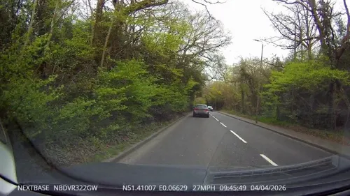


Norman Park
Park · 3.2 mi
Recreation ground in the London Borough of Bromley, England


The Warren
Park · 2.0 mi
Nature reserve in St Mary Cray in the London Borough of Bromley

11 more on the map.
Restaurants and cafes155
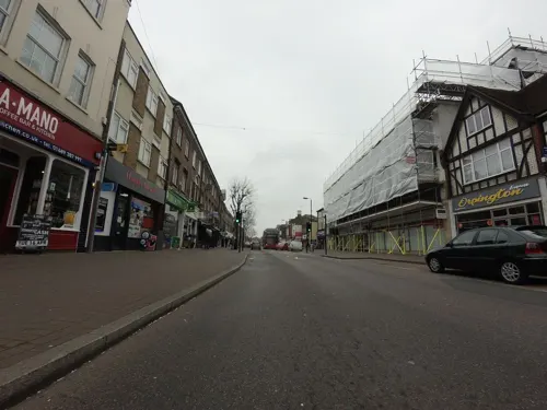
Calcutta
Restaurant · Indian · 1.5 mi
131 Queensway, Orpington
Mo-Th 12:00-14:30, 18:00-22:30; Fr-Sa 12:00-14:30, 18:00-23:00; Su...
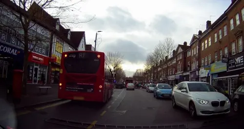
Crispy Dosa Orpington
Restaurant · Indian, Coffee Shop, Breakfast, Ice Cream, Juice, Regional, Noodle, Asian, Salad, Grill
273 High Street, Orpington
Mo-Fr 10:00-22:00; Sa-Su 09:00-22:00
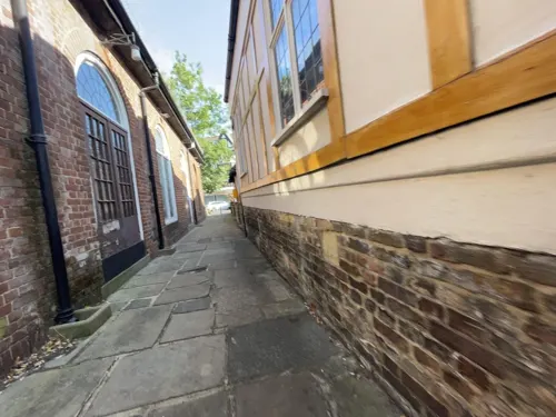
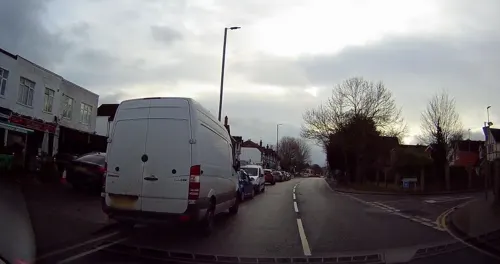
ExN Social
Cafe · Coffee Shop, Protein Shakes, Coffee, Tea, Pastry, Cake · 1.5 mi
27 High Street, Orpington
Tu-Sa 08:00-16:00
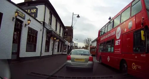
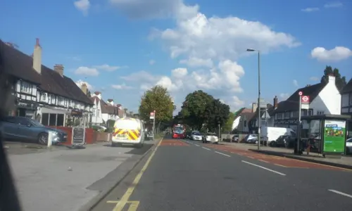
Indian Essence
Restaurant · Indian · 1.5 mi
176-178 Petts Wood Road, Orpington
Mo-Sa 12:00-14:45,17:30-22:00; Su 12:30-14:45,17:30-21:30
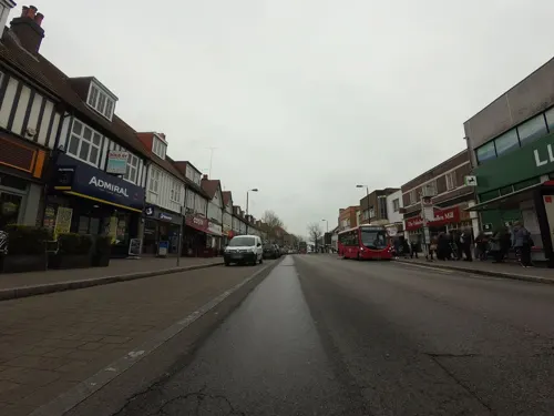
Pato Lounge
Restaurant · British
202-206 High Street, Orpington
Mo-Th 09:00-23:00; Fr,Sa 09:00-24:00, Su 09:00-23:00
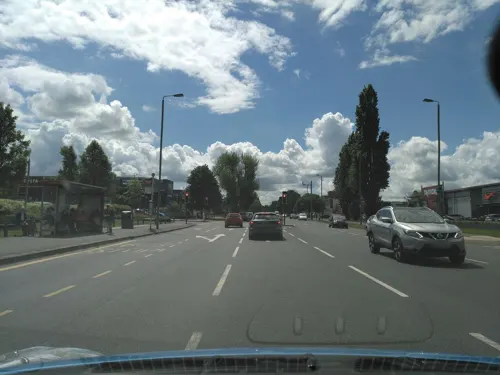

Cheeky Goat
Cafe · Coffee Shop · 1.5 mi
103a Queensway, Orpington
Mo-Th 13:00-20:00; Fr,Sa 11:00-22:00; Su 11:00-20:00

Coral Sea
Restaurant · Chinese · 1.5 mi
103 Queensway, Orpington
Mo 16:00-23:30; Tu-Th 16:00-23:00; Fr,Sa 16:00-00:30, Su 12:00-23:00
143 more on the map.
History
Stone Age tools have been found in several areas of Orpington, including Goddington Park, Priory Gardens, the Ramsden estate, and Poverest. Early Bronze Age pottery fragments have been found in the Park Avenue area. During the building of Ramsden Boys School in 1956, the remains of an Iron Age farmstead were excavated. The area was occupied in Roman times, as shown by Crofton Roman Villa and the Roman bath-house at Fordcroft. During the Anglo-Saxon period, Fordcroft Anglo-Saxon cemetery was used in the area.
The first record of the name Orpington occurs in 1038, when King Cnut's treasurer Eadsy gave land at "Orpedingetune" to the Monastery of Christ Church at Canterbury. The name means 'Orped's farmstead', Orped being an Anglo-Saxon first-name. The Church of All Saints was also built in the Anglo-Saxon period. On 22 July 1573, Queen Elizabeth I was entertained at Bark Hart (Orpington Priory) and her horses stabled at the Anchor and Hope Inn on the High Street.
Read more of the history
Historically, the major local commercial centre was nearby St Mary Cray rather than Orpington. St Mary Cray had a regular market, and industry (paper mills and bell foundry). In contrast, Orpington was a small country village surrounded by soft fruit farms, hop fields and orchards. These crops attracted Romani people, working as itinerant pickers, to annual camps in local meadows and worked-out chalk pits. Although this work has largely ended, the Borough still provides a permanent site for travellers at Star Lane, and historic gatherings are commemorated in local street names, such as Romany Rise. In 1967, Eric Lubbock, then Liberal MP for Orpington, promoted a Private Member's Bill to provide permanent Romani sites; this resulted in the Caravan Sites Act 1968 that placed an obligation upon local authorities to provide sites for locally residing travellers. In 1971, an international meeting of Romany people was held at Orpington; this Orpington Congress marked the founding of the International Romani Union, a group seeking political representation for Romanis throughout Europe.
Orpington railway station opened in 1868 to the southwest of the town centre, prompting housing development in the Crofton and Broom Hill areas, with the Derry Downs areas to the east also developed at about the same time. The station was expanded in 1904, prompting a wave of house building that peaked in the 1920-30s, transforming the area into a suburb of London. The Walnuts Shopping Centre was built in the early 1970s.
From the History section of Orpington on Wikipedia, under CC BY-SA 4.0.
More about Orpington
Education
Education in Orpington is managed by the London Borough of Bromley which is the local education authority. The town contains a range of primary and secondary schools. The state secondary schools include St. Olave's Grammar School and Newstead Wood School, which both select students on the basis of their performance in a highly competitive entrance examination.
The Orpington campus of Bromley College, Bromley is a further education college, affiliated with the University of Greenwich and Canterbury Christ Church University. It was originally built as Orpington College in 1972, and remains the tallest building in the area, being refurbished in 2008 and then merging with Bromley College in 2011.
From the Wikipedia article Orpington, under CC BY-SA 4.0.
Notable people from Orpington
 Dina Asher-SmithBritish sprinterPhoto: Erik van Leeuwen, attribution: Erik..., GFDL
 Joe ChoongBritish modern pentathletePhoto: U.S. Army, CC BY 2.0
 Claire RaffertyEnglish association football player (born 1989)Photo: James Boyes from UK, CC BY 2.0
 David ReynoldsBritish historianPhoto: DJR17252, CC BY-SA 4.0
 Jonathan HaggertyBritish Muay Thai fighterPhoto: Web Summit Qatar, CC BY 2.0
 Gillian WhiteBritish-Swiss sculptor (1939-2026)Photo: Badener, CC BY-SA 3.0
 Paige SandhuBritish actress (born 1992)Photo: DarkGlow, CC BY-SA 4.0
 Nic JonesBritish musicianPhoto: Tony 1212, CC BY-SA 4.0
 Stuart PigottWine writerPhoto: Loimo, CC BY-SA 4.0
- Kevin BishopEnglish actor, comedian and writer
- Eric Lubbock, 4th Baron AveburyEnglish politician (1928-2016)
- Chris TavaréEnglish Test and County cricketer (born 1954)
Born in Orpington, according to Wikidata (CC0). Each name links to its Wikipedia article.
Where to stay1
Churches and places of worship25
Shopping31
Gas and EV charging6
Schools, colleges and libraries23
Healthcare17
Map of Orpington
250 places. The map loads OpenStreetMap tiles when you open it.
Getting there and nearby towns
London Biggin Hill Airport (BQH) is the nearest airport with scheduled flights listed in OpenStreetMap, 4 miles away.
- Swanley 4 mi northeast, about 6 min by car
- Sidcup 4 mi north, about 6 min by car
- Bexley 5 mi northeast, about 8 min by car
- West Wickham 5 mi west, about 8 min by car
- Shirley 6 mi west, about 10 min by car
- Plumstead 8 mi north, about 12 min by car
- Sevenoaks 8 mi southeast, about 13 min by car
- Sanderstead 8 mi west, about 13 min by car
- Croydon 9 mi west, about 14 min by car
- Thornton Heath 9 mi west, about 14 min by car
Drive times are estimates from straight-line distance, not routes.
Towns near Orpington


Keep exploring
Local news
Headlines from INDB.
Reviews, tips and questions
Loading what members have shared...
Sources and licences
- GeoNames (CC BY 4.0): population, coordinates, regions and time zone
- Mapillary (see each image): photos
- OpenStreetMap contributors (ODbL 1.0): places, airports, map data
- Wikidata (CC0 1.0): elevation, founding date, time zone, website, landmarks and historic places
- Wikimedia Commons (see each image): photos
- Wikipedia (CC BY-SA 4.0): overview and history text
Photo credits
- Bethlem Royal Hospital Main building view 1, SLaMNHSFT, CC BY-SA 3.0
- Keston mausoleum, Udimu, CC BY-SA 4.0
- Downe Bank, Dudley Miles, CC BY-SA 3.0
- Hewitt's Chalk Bank, chalk mound of waste from excavation of a railway tunnel, Dudley Miles, CC BY-SA 4.0
- High Elms Cuckoo Wood, Dudley Miles, CC BY-SA 3.0
- Keston Common Lower Lake, Dudley Miles, CC BY-SA 3.0
- Ravensbourne River, Mike Quinn, CC BY-SA 2.0
- Scadbury Park fields, Dudley Miles, CC0
- Oast house adjacent to St Botolphs' Church, Ruxley, Ethan Doyle White, CC BY-SA 4.0
- St Margaret's Church, Halstead, Jackarias, CC BY-SA 4.0
- Orpington All Saints Church CG, CarolGray at English Wikipedia, CC BY-SA 3.0
- The Orpington War Memorial, Ethan Doyle White, CC BY-SA 4.0
- Odeon Orpington, Canthusus2, CC0
- Orpington Library 20260107, Unknown author, CC0
- St Olave's Clock Tower, Garry Knight, CC BY-SA 2.0
- Coal tax obelisk Wormley, Roger W Haworth, CC BY-SA 2.0
- Jubilee Country Park grassland, Dudley Miles, CC0
- Street-level photo, tallguy, CC BY-SA 4.0
- Street-level photo, tallguy, CC BY-SA 4.0
- Street-level photo, tallguy, CC BY-SA 4.0
- Street-level photo, tallguy, CC BY-SA 4.0
- Street-level photo, tallguy, CC BY-SA 4.0
- Street-level photo, zymurgic, CC BY-SA 4.0
- Street-level photo, gness, CC BY-SA 4.0
- Street-level photo, vlivyur, CC BY-SA 4.0
- Street-level photo, paulbiv, CC BY-SA 4.0
- Street-level photo, paulbiv, CC BY-SA 4.0
- Street-level photo, tallguy, CC BY-SA 4.0
- Street-level photo, tallguy, CC BY-SA 4.0
- Street-level photo, tallguy, CC BY-SA 4.0
- Street-level photo, tallguy, CC BY-SA 4.0
- Street-level photo, vlivyur, CC BY-SA 4.0
- Street-level photo, gness, CC BY-SA 4.0
- Street-level photo, zymurgic, CC BY-SA 4.0
- Street-level photo, tallguy, CC BY-SA 4.0
- Street-level photo, tallguy, CC BY-SA 4.0
- Street-level photo, tallguy, CC BY-SA 4.0
- Street-level photo, tallguy, CC BY-SA 4.0
- Street-level photo, tallguy, CC BY-SA 4.0
- Street-level photo, tallguy, CC BY-SA 4.0
- Street-level photo, zymurgic, CC BY-SA 4.0
- Street-level photo, tallguy, CC BY-SA 4.0


Page built November 10, 2026. Spotted a mistake? Tell us or suggest a place.