

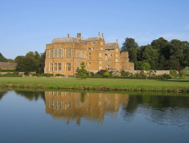


Why visit Bloxham
Townapedia lists 4 museums and landmarks, 8 parks and trails, 14 places to eat, 1 place to stay and 3 attractions in and around town.
Highlights include Crouch Hill, Wykham Park Farm Shop, Bloxham Village Museum and Broughton Castle.
Weather in Bloxham
Forecast from MET Norway (CC BY 4.0). Full forecast
About Bloxham
Bloxham is a village and civil parish in northern Oxfordshire several miles from the Cotswolds, about 3 miles (5 km) southwest of Banbury. It is on the edge of a valley and overlooked by Hobb Hill. The village is on the A361 road. The 2011 Census recorded the parish's population as 3,374.
From the Wikipedia article Bloxham (this version), under CC BY-SA 4.0.
Things to do3
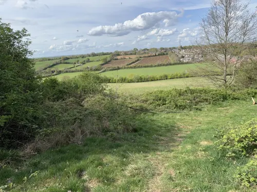

Museums and landmarks4
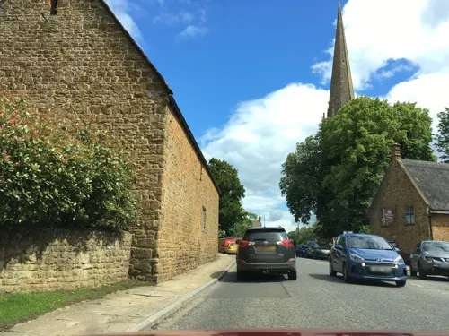

Broughton Castle
Museum · 1.6 mi
Medieval manor house in Oxfordshire, England, UK

Banbury Museum
Museum · 3.4 mi
Museum in Banbury, England, United Kingdom

Banbury Castle
Monument and historic site · 3.4 mi
Archaeological site in Banbury, Cherwell, England, UK
Parks, trails and playgrounds8

Adderbury Lakes
Park · 2.9 mi
Local nature reserve in Oxfordshire, England, UK


Restaurants and cafes14
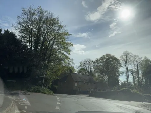

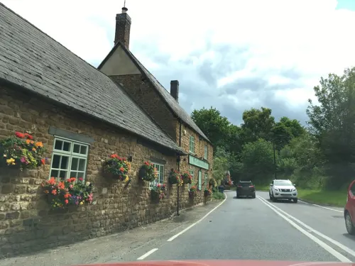
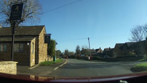
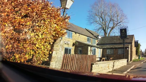



2 more on the map.
History
Under Roman rule between the 1st and 5th centuries AD there were several farms and a burial site in the Bloxham area. A poor farming community lived at a site 1⁄2 mile (800 m) west of the present village.
The toponym is derived from the Old English Blocc's Ham (the home of Blocc) from the 6th century, when a Saxon settlement was built on the present site of the village, on the banks of a tributary of the Sor Brook. In 1086 the Domesday Book called the village Blochesham. Its name was subsequently recorded as Blocchesham in 1142, Blokesham in 1216, and finally Bloxham in 1316. In the late Anglo-Saxon era Bloxham was part of a large estate, belonging to the Earl of Mercia, stretching from the boundary with Tadmarton and Wigginton in the west to the River Cherwell. As the caput of a hundred it had been important since at least the time of Edward the Elder.
Read more of the history
Around the time of the Norman Conquest of England, a group called the Bloxham Feoffees formed. The name, of Anglo-Norman origin, denotes someone invested with a fief, which was often heritable land or property but could be rights or revenue. Comprising between 8 and 16 local yeomen, the Feoffees were responsible for the well-being of the village community. In return for helping the poor and services such as repairing the bridges, they were bequeathed money and land by the Crown. Until the 20th century they continued their village maintenance despite being replaced by a parish council after the Local Government Act 1894. Today they give financial help to Bloxham residents. The Feoffees own land in Grove Road (which is now rented to the Warriner School), the former allotment field in South Newington Road and the Old Court House.
The Domesday Book of 1086 recorded Blochesham as having six mills and trading in wool and corn. In the Middle Ages it was a large parish with 403 contributors to the poll tax of 1377, of whom 78 lived in neighbouring Milcombe. At this time, the village's north and south parts, separated by the brook, were distinct communities called in Anglo-Norman le Crowehead Ville and le Downe End. The Crown held Bloxham manor by 1067. King Stephen granted it to Waleran de Beaumont, 1st Earl of Worcester, but it returned to being a royal manor in the reign of Henry II.
In 1155 Bloxham was divided in two manors. In 1269 the half later called Bloxham Beauchamp was given to Queen Eleanor, and later bestowed upon Edward III's chamberlain Roger de Beauchamp and sold in 1545 to Richard Fiennes, 6th Baron Saye and Sele. The other half, called Bloxham Fiennes, was passed to Amaury de St Amand, came to be called Saint Amand's, and was subsequently sold to Thomas Wykeham and reunited with Bloxham Beauchamp when Baron Saye and Sele inherited it. Beauchamp Manor stood roughly on the site of Park Close and the Manor of St Amand was on the area now occupied by Godswell House. Although neither manor remains, the dovecote of St Amands is still visible next to Dovecote House. By the 15th century St Mary's Church, Bloxham had become one of the grandest parish churches in southern England, showing Bloxham's medieval wealth.
The medieval street plan survives in the narrow winding alleys where some houses retain a medieval core hidden by later exteriors and alterations. Many of the present street names derive from families living in Bloxham in the early 16th century, e.g. Humber, Job and Budd Lane; although these may remain from Middle Ages they were not documented until 1700. Bloxham has a large number of well-built yeomen's houses dating from this time, including Bennetts, Seal Cottage and the Joiners Arms. Many have been comparatively little altered, retaining their original details and plans.
Bloxham took part in the Buckinghamshire and Oxfordshire Rising of 1549 against the Edwardine Reformation. John Wade, Bloxham's vicar, was identified as a ringleader and threatened with being hanged from his own church tower, but was later pardoned. From the 17th century Nonconformism flourished and was closely linked with the dissenting movement in Banbury. In the English Civil War the Fiennes family of Bloxham was strongly Parliamentarian and the area had a reputation as a Puritan stronghold. There are suggestions that houses in Sycamore Terrace were used as barracks during this time, but this is unsubstantiated. It is believed that Parliamentarian troops caused the damage to the lavishly decorated interior of St Mary's church as they passed through Bloxham.
In the 17th century many houses such as those in Sycamore Terrace were used as weavers' cottages. From the Middle Ages the area around Banbury was known for weaving a fabric called plush. It is made of wool or worsted and linen, the finer types also incorporating silk or mohair. It was used in a wide variety of ways from horse girths to furnishing fabrics.
In 1770 the main road between Banbury and Chipping Norton, which passes through Bloxham, was made into a turnpike. In 1815 the turnpike's trustees straightened the main road to follow its current course. They bought two cottages on the brook and demolished them to make the High Street bridge. The main road ceased to be a turnpike in 1871. In 1922 it was classified as the A361 road. The agricultural depression of the late 18th and early 19th centuries led to a decline in population and some emigration. This period saw a marked increase in poor relief, mainly as a result of successive poor laws including the Speenhamland system, which exacerbated the effects of the Enclosure of land and the decline in the wool market. However the industrial boom in Banbury brought prosperity back to Bloxham.
From the History section of Bloxham on Wikipedia, under CC BY-SA 4.0.
Notable people from Bloxham
- John RogersEnglish cricketer born in 1860
Born in Bloxham, according to Wikidata (CC0). Each name links to its Wikipedia article.
Where to stay1
Churches and places of worship15
Shopping2
Gas and EV charging1
Schools, colleges and libraries6
Healthcare1
Map of Bloxham
55 places. The map loads OpenStreetMap tiles when you open it.
Getting there and nearby towns
Oxford Airport (OXF) is the nearest airport with scheduled flights listed in OpenStreetMap, 13 miles away.
- Banbury 3 mi northeast, about 5 min by car
- Deddington 4 mi southeast, about 6 min by car
- Kings Sutton 4 mi east, about 7 min by car
- Hook Norton 5 mi west, about 8 min by car
- Lower Brailes 7 mi west, about 12 min by car
- Farnborough 8 mi north, about 14 min by car
- Brackley 10 mi east, about 15 min by car
- Charlbury 11 mi southwest, about 18 min by car
- Kineton 11 mi northwest, about 18 min by car
- Bicester 13 mi southeast, about 20 min by car
Drive times are estimates from straight-line distance, not routes.
Towns near Bloxham


Keep exploring
Local news
Headlines from INDB.
Reviews, tips and questions
Loading what members have shared...
Sources and licences
- GeoNames (CC BY 4.0): population, coordinates, regions and time zone
- Mapillary (see each image): photos
- OpenStreetMap contributors (ODbL 1.0): places, airports, map data
- Wikidata (CC0 1.0): elevation, founding date, time zone, website, landmarks and historic places
- Wikimedia Commons (see each image): photos
- Wikipedia (CC BY-SA 4.0): overview and history text
Photo credits
- Bloxham museum, Gyrospite at English Wikipedia, Public domain
- Broughton castle2, David Stowell, CC BY-SA 2.0
- Banbury Museum - Oxford Canal, Banbury (8723264045), Elliott Brown from Birmingham, United Kingdom, CC BY 2.0
- Banbury StJohnE WNW, Motacilla, CC BY-SA 4.0
- St. Mary's Church - Banbury, Jim Linwood, CC BY 2.0
- SouthNewington StPeterAV SSE, Motacilla, CC BY-SA 4.0
- Tudor Hall School Main School 2, Johnfield1, CC BY-SA 3.0
- Barford St. Michael church, Ben Nicholson, CC BY-SA 2.0
- Bodicote StJohnB southeast, Motacilla, CC BY-SA 4.0
- Barford St. Michael pub, al partington, CC BY-SA 2.0
- Street-level photo, southglos, CC BY-SA 4.0
- Street-level photo, southglos, CC BY-SA 4.0
- Street-level photo, editid, CC BY-SA 4.0
- Street-level photo, laye, CC BY-SA 4.0
- Street-level photo, southglos, CC BY-SA 4.0
- Street-level photo, editid, CC BY-SA 4.0
- Street-level photo, southglos, CC BY-SA 4.0
- Street-level photo, southglos, CC BY-SA 4.0
- Street-level photo, southglos, CC BY-SA 4.0
- Street-level photo, laye, CC BY-SA 4.0
- Street-level photo, southglos, CC BY-SA 4.0
- Street-level photo, southglos, CC BY-SA 4.0
- Street-level photo, southglos, CC BY-SA 4.0
- Street-level photo, southglos, CC BY-SA 4.0


Page built November 10, 2026. Spotted a mistake? Tell us or suggest a place.