


Why visit Boreham
Townapedia lists 16 museums and landmarks, 32 parks and trails, 35 places to eat, 5 places to stay and 2 attractions in and around town.
Highlights include Blake's Wood & Lingwood Common, Moulsham Bridge, Boreham House and Museum of Chelmsford.
Weather in Boreham
Forecast from MET Norway (CC BY 4.0). Full forecast
About Boreham
Boreham is a village and civil parish in the Chelmsford district of Essex, England. The village is approximately 3.7 miles (6.0 km) north-east of the centre of Chelmsford. At the 2021 census the parish had a population of 3,973.
From the Wikipedia article Boreham (this version), under CC BY-SA 4.0.
Photos of Boreham

Things to do2

Blake's Wood & Lingwood Common
Monument and historic site · 2.2 mi
Educational trail in Danbury, Chelmsford, England, UK

Museums and landmarks16


Museum of Chelmsford
Museum · 4.2 mi
Museum in Chelmsford, Essex, United Kingdom
Springfield Place
Monument and historic site · 2.4 mi
5-8 Springfield Place, Chelmsford

Essex Police Museum
Museum · 2.6 mi
Police museum in Chelmsford, United Kingdom
Dairy Farm Cottage
Monument and historic site · 1.7 mi
Chelmer Village Way, Chelmsford
Boreham Spout
Monument and historic site
Historical landmark. The original source of water for the village dating back to 12 century.
BARN ABOUT 850 METRES EAST NORTH EAST OF NEW HALL
Monument and historic site · 0.8 mi
4 more on the map.
Parks, trails and playgrounds32

Central Park, Chelmsford
Park · 3.8 mi
Park in Chelmsford, Essex, England


Danbury Ridge Nature Reserves
Park · 3.2 mi
Essex Wildlife Trust Nature reserve
Little Waltham Meadows
Park · 2.9 mi
Essex Wildlife Trust Nature reserve


20 more on the map.
Restaurants and cafes35
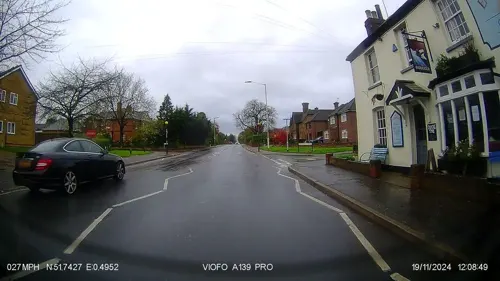
The Endeavour
Bar and pub · 2.3 mi
351 Springfield Road, Chelmsford
Tu-Th,Su 12:00-23:00; Fr,Sa 12:00-23:30; Mo off
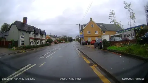
Harvester
Diner · American · 2.2 mi
306 Springfield Road, Chelmsford
Mo-Th, Su 09:00-22:00; Fr-Sa 09:00-23:00
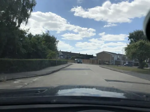
Taste of China
Restaurant · Chinese · 2.1 mi
13 Havengore, Chelmsford
Su-Th 17:00-22:30, Fr-Sa 17:00-23:00
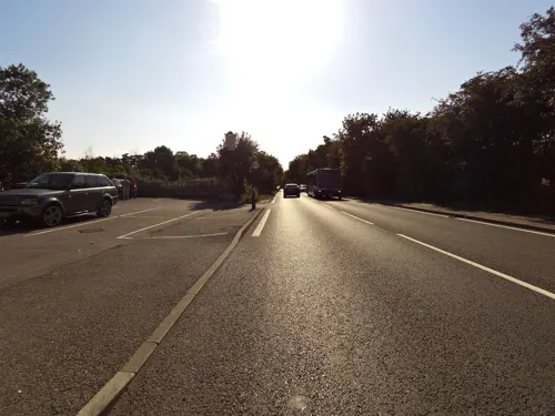
The William B.
Restaurant · Regional · 2.3 mi
The Street, Hatfield Peveral
Mo-Th 12:00-21:00; Fr-Sa 12:00-22:00; Su 12:00-19:00

China Garden
Restaurant · Chinese · 2.4 mi
41 Bodmin Road, Chelmsford
Su-Th 17:00-22:30; Fr,Sa 12:00-14:00,17:00-22:30


Channels Bar & Brasseries
Restaurant · 2.1 mi
Pratts Farm Lane East, Chelmsford
Mo 12:00-22:00; Tu-Sa 09:00-23:00; Su 09:00-19:00; PH 09:00-22:00
Chelmer Inn
Bar and pub · 2.2 mi
Village Square, Chelmsford
Mo-We 11:30-23:30; Th-Sa 11:30-24:00; Su 12:00-23:00
23 more on the map.
History
Boreham is listed in the Domesday Book of 1086 as Borham, thought to mean 'village on a hill'. King Henry VIII spent time at New Hall as did his daughter, Princess Mary.
Local legend holds that highwayman Dick Turpin rode down the route than now forms part of the A12 on his famous ride from London to York, although historians now believe the ride never occurred.
In the 1930s Boreham House and its surrounding land of 3,000 acres (12 km2) was bought by car magnate Henry Ford. In addition to using the house as a school for training Ford tractor mechanics, the company's British chairman, Lord Perry, established Fordson Estates Limited there, and founded the Henry Ford Institute of Agricultural Engineering, an agricultural college. The house also served as the temporary home for the National College of Agricultural Engineering in 1962. This moved to Silsoe, Bedfordshire as Silsoe College later joining with Cranfield University. The Silsoe campus closed at the end of 2007.
In 1952 a Ham class minesweeper, HMS Boreham, was named after the village.
Boreham remained relatively small until the mid-1970s when a programme of house and shop building increased its size significantly.
Boreham contains one of England's few remaining independent family-run gunsmiths, which was established in 1795.
From the History section of Boreham on Wikipedia, under CC BY-SA 4.0.
More about Boreham
Geography
In addition to being a village, Boreham is a civil parish which has a parish council
The parish is bounded at its south by the River Chelmer. The village, which lies on a Roman road (now a modern trunk road, the A12), has a Norman church, and a public house (The Cock Inn) that dates from the 15th century. The surrounding countryside is slightly hilly and is used to grow crops such as wheat, sugar beet and peas.
The Great Eastern Main Line from Chelmsford to Colchester runs past the village. In the 1970s a bypass was built along the northern edge of the village, along the same route as the A12 and the nearby railway line.
The parish includes the hamlet of Russell Green at the north.
From the Wikipedia article Boreham, under CC BY-SA 4.0.
Notable people from Boreham
- Rod HarringtonBritish darts player
- Ray Smithcricketer (1914-1996)
Born in Boreham, according to Wikidata (CC0). Each name links to its Wikipedia article.
Where to stay5
Churches and places of worship11
St Augustine of Canterbury North Springfield
Church · Anglican · 1.9 mi
New Bowers Way, Chelmsford
Shopping9
Gas and EV charging3
Schools, colleges and libraries15
The Bishops' Church of England and Roman Catholic Primary School
School · Anglican, Roman Catholic · 1.8 mi
Beardsley Drive, Chelmsford
Healthcare4
Map of Boreham
132 places. The map loads OpenStreetMap tiles when you open it.
Getting there and nearby towns
London Southend Airport (SEN) is the nearest airport with scheduled flights listed in OpenStreetMap, 15 miles away.
- Chelmsford 3 mi southwest, about 6 min by car
- Witham 5 mi northeast, about 8 min by car
- Great Leighs 5 mi north, about 8 min by car
- Maldon 6 mi east, about 10 min by car
- Black Notley 7 mi north, about 11 min by car
- Braintree 8 mi north, about 13 min by car
- Rayne 8 mi north, about 12 min by car
- Stock 8 mi southwest, about 13 min by car
- Billericay 10 mi southwest, about 17 min by car
- Wickford 10 mi south, about 17 min by car
Drive times are estimates from straight-line distance, not routes.
Towns near Boreham


Keep exploring
Local news
Headlines from INDB.
Reviews, tips and questions
Loading what members have shared...
Sources and licences
- GeoNames (CC BY 4.0): population, coordinates, regions and time zone
- Mapillary (see each image): photos
- OpenStreetMap contributors (ODbL 1.0): places, airports, map data
- Wikidata (CC0 1.0): elevation, founding date, time zone, website, landmarks and historic places
- Wikimedia Commons (see each image): photos
- Wikipedia (CC BY-SA 4.0): overview and history text
Photo credits
- Oaklands House - August 2012 - panoramio, Forester2009, CC BY-SA 3.0
- Central Park, Chelmsford, John Sutton, CC BY-SA 2.0
- Chelmer Valley Riverside 1, Dudley Miles, CC BY-SA 4.0
- Our Lady Immaculate Church, Chelmsford, Carol, CC BY-SA 2.0
- Boreham House (John V Nicholls), John V Nicholls, CC BY-SA 2.0
- Newhall2, Amaibrown, CC BY 3.0
- School view small file, New Hall School, CC BY-SA 4.0
- Street-level photo, IpswichEdits, CC BY-SA 4.0
- Street-level photo, IpswichEdits, CC BY-SA 4.0
- Street-level photo, stephengoodey, CC BY-SA 4.0
- Street-level photo, laye, CC BY-SA 4.0
- Street-level photo, IpswichEdits, CC BY-SA 4.0
- Street-level photo, IpswichEdits, CC BY-SA 4.0
- Street-level photo, smsm1, CC BY-SA 4.0
- Street-level photo, smsm1, CC BY-SA 4.0
- Street-level photo, IpswichEdits, CC BY-SA 4.0
- Street-level photo, IpswichEdits, CC BY-SA 4.0
- Street-level photo, IpswichEdits, CC BY-SA 4.0
- Street-level photo, stephengoodey, CC BY-SA 4.0
- Street-level photo, laye, CC BY-SA 4.0
- Street-level photo, IpswichEdits, CC BY-SA 4.0
- Street-level photo, IpswichEdits, CC BY-SA 4.0
- Street-level photo, petermead, CC BY-SA 4.0
- Street-level photo, laye, CC BY-SA 4.0
Page built November 10, 2026. Spotted a mistake? Tell us or suggest a place.