


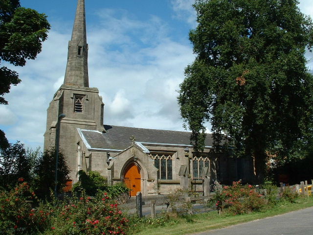

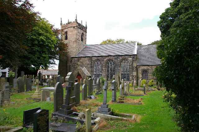

Brinscall, United Kingdom
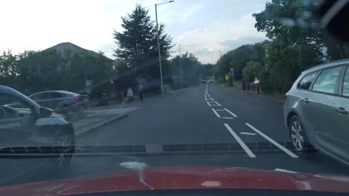
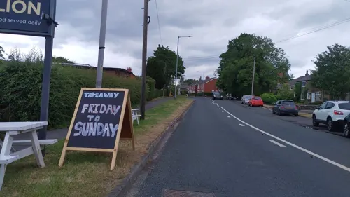
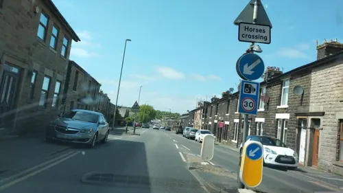
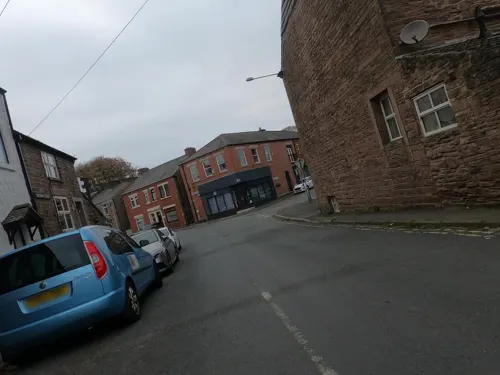
Brinscall is a town of 2,286 people in England, United Kingdom.
Why visit Brinscall
Townapedia lists 12 museums and landmarks, 4 parks and trails, 13 places to eat and 3 attractions in and around town.
Highlights include Spout House Farm Shop, Withnell Fold Farmhouse, Hoghton Tower and Cuerden Valley Park.
Weather in Brinscall
Forecast from MET Norway (CC BY 4.0). Full forecast
About Brinscall
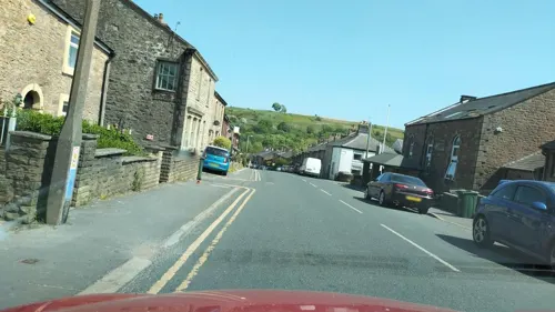
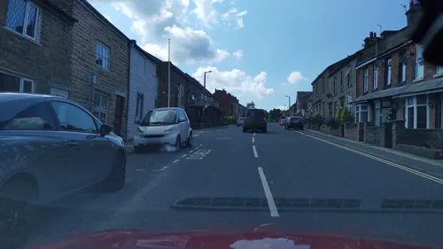
Brinscall is a village in the Borough of Chorley, Lancashire, England. Located approximately five miles north-east of Chorley, Brinscall borders the similar-sized villages of Withnell and Abbey Village. Brinscall is part of the civil parish of Withnell but does not have its own boundaries. However, an area used in the 2001 census that covers approximately the same area as the village had a population of 1,431.
From the Wikipedia article Brinscall (this version), under CC BY-SA 4.0.
Things to do3
Spout House Farm Shop
Farm and orchard · 1.1 mi
Blackburn Road, Chorley
Fr 10:00-17:00; Sa 10:00-16:00; Su 11:00-16:00


Museums and landmarks12


Hoghton Tower
Museum · 3.0 mi
Grade I listed house in Hoghton, Lancashire, England, United Kingdom
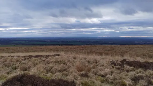
Pikestones
Monument and historic site · 2.7 mi
Chambered cairn in Anglezarke, Lancashire, England, UK

Round Loaf
Monument and historic site · 2.3 mi
Bowl barrow in Anglezarke, Chorley, England, UK


Parks, trails and playgrounds4

Cuerden Valley Park
Park · 3.3 mi
Park in Cuerden, Lancashire, England

Restaurants and cafes13
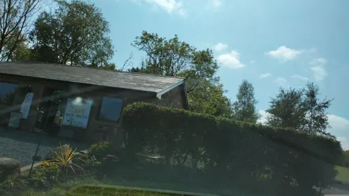
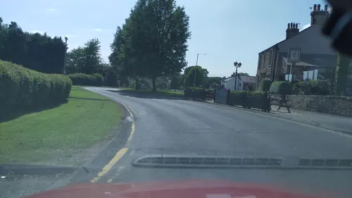
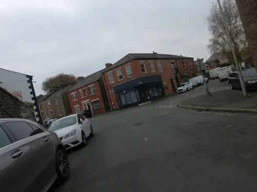
The Village Tearoom
Cafe · 1.4 mi
202 Blackburn Road, Chorley
We-Fr 09:00-16:30, Su 10:00-16:30, Fr 09:00-16:30
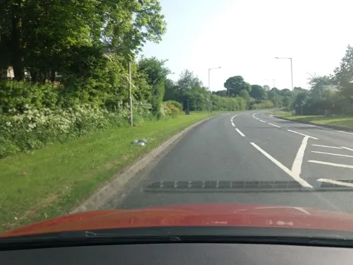

Spout House Farm Tearoom
Cafe · 1.1 mi
Blackburn Road, Chorley
Fr 10:00-17:00; Sa 10:00-16:00; Su 11:00-16:00
1 more on the map.
History
The village was originally a small farming community, but in the 19th century, the thriving cotton industry moved in. There is also a quarry nearby, and Brinscall housed many of its workers.
The village also lends its name to an important geological feature, the Brinscall Fault, which is orientated approximately north-south and borders the western edge of Anglezarke moor.
From the History section of Brinscall on Wikipedia, under CC BY-SA 4.0.
Churches and places of worship8
Withnell Fold Methodist Church
Church · Methodist · 1.1 mi
Withnell Fold, Chorley
Schools, colleges and libraries4
Healthcare2
Map of Brinscall
46 places. The map loads OpenStreetMap tiles when you open it.
Getting there and nearby towns
Warton Aerodrome (WRT) is the nearest airport with scheduled flights listed in OpenStreetMap, 14 miles away.
- Chorley 3 mi southwest, about 5 min by car
- Clayton-le-Woods 4 mi west, about 6 min by car
- Darwen 4 mi east, about 7 min by car
- Leyland 5 mi west, about 8 min by car
- Blackburn 6 mi northeast, about 9 min by car
- Horwich 6 mi south, about 10 min by car
- Preston 7 mi northwest, about 12 min by car
- Edgworth 8 mi east, about 13 min by car
- Bolton 9 mi southeast, about 15 min by car
- Wigan 10 mi south, about 17 min by car
Drive times are estimates from straight-line distance, not routes.
Towns near Brinscall


Keep exploring
Local news
Headlines from INDB.
Reviews, tips and questions
Loading what members have shared...
Sources and licences
- GeoNames (CC BY 4.0): population, coordinates, regions and time zone
- Mapillary (see each image): photos
- OpenStreetMap contributors (ODbL 1.0): places, airports, map data
- Wikidata (CC0 1.0): elevation, founding date, time zone, website, landmarks and historic places
- Wikimedia Commons (see each image): photos
- Wikipedia (CC BY-SA 4.0): overview and history text
Photo credits
- Hoghton Tower 2, Poliphilo, CC0
- Roundloafcairn, PopUpPirate at English Wikipedia, Public domain
- Immanuel Church, Feniscowles, Chris Shaw, CC BY-SA 2.0
- The Preston Temple by Munzerr, Andy Munzer from Bristol, UK, CC BY 2.0
- St James' Church, Brindle, Alexander P Kapp, CC BY-SA 2.0
- Withnell Fold Farmhouse, Withnell, Peter James, CC BY-SA 4.0
- Great Hill From Coppice Stile House, SG2012, CC BY 2.0
- Street-level photo, tonys999, CC BY-SA 4.0
- Street-level photo, tonys999, CC BY-SA 4.0
- Street-level photo, tonys999, CC BY-SA 4.0
- Street-level photo, tonys999, CC BY-SA 4.0
- Street-level photo, tonys999, CC BY-SA 4.0
- Street-level photo, tonys999, CC BY-SA 4.0
- Street-level photo, tonys999, CC BY-SA 4.0
- Street-level photo, tonys999, CC BY-SA 4.0
- Street-level photo, tonys999, CC BY-SA 4.0
- Street-level photo, tonys999, CC BY-SA 4.0
- Street-level photo, tonys999, CC BY-SA 4.0
- Street-level photo, tonys999, CC BY-SA 4.0
- Street-level photo, tonys999, CC BY-SA 4.0
- Street-level photo, tonys999, CC BY-SA 4.0
- Street-level photo, tonys999, CC BY-SA 4.0
- Street-level photo, tonys999, CC BY-SA 4.0
- Street-level photo, tonys999, CC BY-SA 4.0
- Street-level photo, tonys999, CC BY-SA 4.0
- Street-level photo, tonys999, CC BY-SA 4.0
- Street-level photo, tonys999, CC BY-SA 4.0
- Street-level photo, tonys999, CC BY-SA 4.0
- Street-level photo, tonys999, CC BY-SA 4.0
- Street-level photo, tonys999, CC BY-SA 4.0
Page built November 10, 2026. Spotted a mistake? Tell us or suggest a place.