


Why visit Buckden
Townapedia lists 4 museums and landmarks, 7 parks and trails, 4 places to eat and 2 places to stay in and around town.
Highlights include Hinchingbrooke House, Paxton Pits Nature Reserve and Brampton Wood.
Weather in Buckden
Forecast from MET Norway (CC BY 4.0). Full forecast
About Buckden
Buckden is a village and civil parish within the Huntingdonshire district in Cambridgeshire, England. It is 4 miles (6.4 km) north of St Neots and 4 miles (6.4 km) south-west of Huntingdon. It includes the hamlets of Stirtloe and Hardwick. It lies within the historic county of Huntingdonshire, close to the north-south A1 road and the River Great Ouse.
From the Wikipedia article Buckden, Cambridgeshire (this version), under CC BY-SA 4.0.
Museums and landmarks4

Hinchingbrooke House
Museum · 3.1 mi
Building in Huntingdon, Cambridgeshire, England, UK


Parks, trails and playgrounds7

Paxton Pits Nature Reserve
Park · 2.8 mi
Local nature reserve in United Kingdom


Brampton Wood
Park · 1.8 mi
Nature reserve in Cambridgeshire, England, UK

Restaurants and cafes4



Where to stay2


History
Recorded in the Domesday Book of 1086 as Bugedene, Buckden has also been referred to as Buggeden (12–13th centuries), Bokeden (13th–14th centuries), Bukeden (13th–14th centuries), and Bugden (15th–18th centuries), with the present spelling taking over in the 18th century. The name originates from Old English; "Bucge" is a personal name and "dene" an Old English word for valley. The name is still pronounced Bugden locally.
Evidence of Roman settlement was found in 1963–1964 at a quarry site to the east of the village. In 1981, signs of a Roman villa appeared close to the Towers. Excavations in 2006 to the north-east of the village revealed evidence of a Romano-British field system of the 1st–4th centuries CE.
In 1961, excavations uncovered crucibles and crucible fragments that appear to have been used to manufacture white and yellow glass and to date from Anglo-Saxon times. The site of the find was 0.5 miles (0.8 km) to the north-east of Buckden village, in an area of the Great Ouse valley about to be mined for sand and gravel.
"Bugedene" was listed in the Domesday Book in the Hundred of Toseland, Huntingdonshire. In 1086 there was a single manor at Buckden, whose annual rent of £20 paid to the lord of the manor in 1066 had fallen to £16.10s.
Read more of the history
Domesday Book mentions 58 households at Buckden, suggesting a population of 200–300. It states there were 19 ploughlands there in 1086, with capacity for a further one. Apart from that, it had 84 acres (34 hectares) of meadows, 3,784 acres (1,531 hectares) of woodland and a water mill. The total manor tax assessment was 20 guilders.
By 1086 the village had a church and priest. The land was then owned by the Bishop of Lincoln, who may already have had a house there. He certainly had one when the Bishop held court by the mid–12th century. In 1227 Henry III granted the Bishop the right to a deer park at Buckden; by the time of a survey in 1647 this covered 425 acres and contained some 200 deer. By the late 17th century the deer were gone and the land enclosed as fields. The deer park lay to the west of the parish.
Buckden later had two manors. The larger was Buckden and the Members, whose lords were the bishops of Lincoln except in brief periods of the 14th, 16th and 17th centuries. The smaller, Buckden Brittains, was the home of the Briton (or Le Briton) family in the 13th century, but later changed hands many times. By the early 19th century, about 1,200 acres (490 hectares) were owned by the manor of Buckden and the Members and about 225 acres (91 hectares) by the manor of Buckden Brittains.
English kings who stayed at Buckden Palace were Henry III in 1248, Edward I in 1291 and Richard III in 1483. Henry VIII sent Catherine of Aragon to Buckden Palace after the annulment of their marriage (an issue known as the King's Great Matter), from July 1533 to May 1534. He and his fifth wife, Catherine Howard, stayed there in 1541. On Friday 18 June 1641, "hundreds of women and boys, armed with Daggers and Javelins, in a very tumultuous and riotous Manner" entered some land at Buckden owned by the Bishop of Lincoln and "turned in a great herd of cattle".
Buckden's site on the Great North Road made it a popular coaching stop in the 18th century. It had four coaching inns. The Lion dates from the 15th century and was enlarged in the 18th. The George Inn, with its courtyard and forge, was remodelled in the 18th century. The Vine dated from the first half of the 17th century and was rebuilt in the 18th to include stables and its own brewery. The Spread Eagle, originating in the 17th century, was altered in the 18th; it had stabling and paddocks. A schedule of 1839 shows six express coaches heading north every day, to Boston, Leeds, Lincoln and York, and as many heading south to London. The presence of elegant Georgian houses in Church Street and the High Street (the former Great North Road) reflects the prosperity brought by its strategic position on the coaching route.
In 1854, just 15 years later, Buckden was called "a quiet insignificant place compared to what it was in coaching times", with the advent of the railways. The population, having steadily risen from 869 in 1801 to a peak of 1,291 in 1841, fell to 995 by 1911.
The open fields in Buckden were enclosed by Act of Parliament in 1813. In 1842 a girls' school was opened (a boys' school having existed for over a century) and a new school building built in 1871. A post mill erected in 1830 worked until 1888, when an auxiliary steam engine was installed. The mill was demolished in 1893. Domesday mentions a water mill on the Great Ouse; this was rebuilt about 1850 and converted to steam power in the 1890s. It ran until 1965, and from then until the 1980s was used for crop storage. By 2015, it had been turned into housing.
In the second half of the 20th century, new housing estates in Buckden led to a marked increase in the population.
From the History section of Buckden, Cambridgeshire on Wikipedia, under CC BY-SA 4.0.
More about Buckden
Geography
The village of Buckden lies about 1.7 miles (2.7 km) west of the River Great Ouse. Between the Great Ouse and Buckden there are a number of disused, flooded gravel quarries. The village lies on sloping ground on the western edge of the river valley. Just to the west is the A1 road, following the route of the Great North Road roughly north and south. Access from the A1 is via a roundabout at the southern edge of Buckden. The western half of the parish slopes gently with low hills.
The hamlet of Hardwick is joined to the north-west of Buckden village, but on the western side of the A1. There is a pedestrian subway under the A1 to connect it.
The hamlet of Stirtloe lies to the south of Buckden, separated from the village by 220 yards (200 m) of fields.
Arts and culture
In 1871, Buckden had 13 inns and public houses, but by 2015 only three remained: The George, The Vine and The Lion Hotel. The Spread Eagle, which closed in 2003, is now a private house. All four former coaching inns are Grade II listed buildings. Buckden has some shops, including supermarkets, a post office, a pharmacy and clothiers, and over 100 private businesses based there.
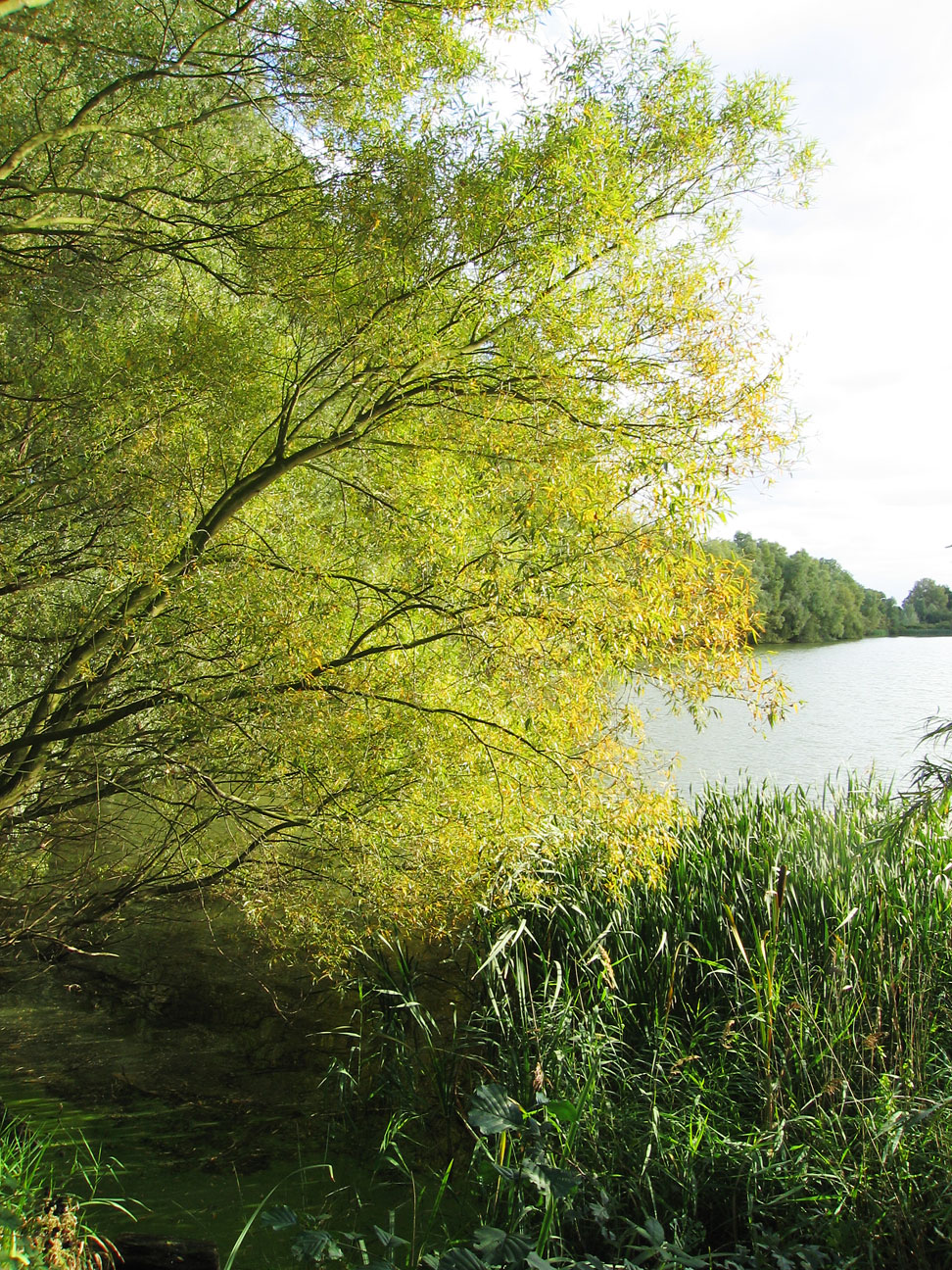
Buckden Marina, built in 1963, is next to the Great Ouse; originally with some 150 berths but now 240, over an area of 22 acres (8.9 hectares). In 2001, Lafarge Aggregates and Buckden Marina Co. was joint winner of the Cooper–Heyman Cup, awarded by the Quarry Products Association, for restoring a 70 acres (28 hectares) quarry as a water-recreation complex and wildlife area.
The first issue the monthly community magazine Buckden Roundabout appeared in September 1979. A charitable trust set up in 1958 manages the village hall and the adjacent recreation ground of some 12 acres (4.9 hectares), with four tennis courts, a children's play area, cricket and football pitches and a bowls green. There are clubs for cricket, association football club, and bowls club (founded in 1929). The village hall was expanded in the early 21st century as Buckden Millennium Village Hall. It includes a public library.
Education
In 1661 a parish charity school was founded in Buckden for boys. It still existed when in 1842 a National School for girls was founded in part of the Bishop's Palace. A new school building opened in 1871 to house the girls' school. The two schools merged in 1941. A new infant school opened in 1966; much was rebuilt after a fire in 1978. A primary school was built in 1972. Buckden Church of England Primary School became an Academy in 2010 and operates independently of the local authority; 248 students were on the roll in 2014–2015. The Ofsted report on an inspection in 2015 rated the overall effectiveness of the school as outstanding. Buckden is in the secondary education catchment area of Hinchingbrooke School.
From the Wikipedia article Buckden, Cambridgeshire, under CC BY-SA 4.0.
Notable people from Buckden
- Edward Mann LangleyBritish mathematician
- John Leslie Greenrecipient of the Victoria Cross
Born in Buckden, according to Wikidata (CC0). Each name links to its Wikipedia article.
Churches and places of worship7
All Saints (Parish Church of Offord D'Arcy with Cluny)
Church · Anglican · 1.5 mi
Gas and EV charging1
Schools, colleges and libraries2
Healthcare1
Map of Buckden
28 places. The map loads OpenStreetMap tiles when you open it.
Getting there and nearby towns
Cambridge City Airport (CBG) is the nearest airport with scheduled flights listed in OpenStreetMap, 19 miles away.
- Little Paxton 3 mi south, about 5 min by car
- Huntingdon 4 mi northeast, about 6 min by car
- Saint Neots 5 mi south, about 9 min by car
- Alconbury 5 mi north, about 8 min by car
- Kimbolton 6 mi west, about 10 min by car
- Papworth Everard 6 mi southeast, about 10 min by car
- Houghton 6 mi northeast, about 10 min by car
- Hemingford Grey 6 mi east, about 10 min by car
- Saint Ives 8 mi east, about 12 min by car
- Fenstanton 8 mi east, about 12 min by car
Drive times are estimates from straight-line distance, not routes.
Towns near Buckden


Keep exploring
Local news
Headlines from INDB.
Reviews, tips and questions
Loading what members have shared...
Sources and licences
- GeoNames (CC BY 4.0): population, coordinates, regions and time zone
- Mapillary (see each image): photos
- OpenStreetMap contributors (ODbL 1.0): places, airports, map data
- Wikidata (CC0 1.0): elevation, founding date, time zone, website, landmarks and historic places
- Wikimedia Commons (see each image): photos
- Wikipedia (CC BY-SA 4.0): overview and history text
Photo credits
- Buckden Towers, Robert Edwards, CC BY-SA 2.0
- Buckden Towers cf 1, Secretlondon, CC BY-SA 4.0
- Buckden Towers April 2026 cf 3, Secretlondon, CC BY-SA 4.0
- Village Hall, Buckden, Richard Kelly, CC BY-SA 4.0
- Schoolio 003, The original uploader was Multiple films at English Wikipedia ., CC BY-SA 2.5
- Paxton Pits, Unknown author, CC BY-SA 2.0
- St Peter's Church, near to Offord D'arcy, Cambridgeshire, Great Britain, Blackinkwash, CC BY-SA 3.0
- Buckden, palace of Buckden Towers, Smb1001, CC BY-SA 4.0
- Buckden Marina - April 2016 - panoramio (1), Forester2009, CC BY-SA 3.0
- Buckden, phone box near George Lane on High Street, Smb1001, CC BY-SA 4.0
- Street-level photo, adam2, CC BY-SA 4.0

Page built November 10, 2026. Spotted a mistake? Tell us or suggest a place.