


Why visit Bunbury
Townapedia lists 3 museums and landmarks, 1 park or trail and 9 places to eat in and around town.
Highlights include Bunbury Mill.
Weather in Bunbury
Forecast from MET Norway (CC BY 4.0). Full forecast
About Bunbury
Bunbury is a village in Cheshire, England, south of Tarporley and north west of Nantwich on the Shropshire Union Canal. At the 2011 Census, it had a population of 1,195.
From the Wikipedia article Bunbury, Cheshire (this version), under CC BY-SA 4.0.
Photos of Bunbury


Museums and landmarks3


Parks, trails and playgrounds1

Restaurants and cafes9



Churches and places of worship7

Bulkeley Methodist Church
Church · 2.9 mi
Grade II listed church in Bulkeley, Cheshire East, England, UK

St Boniface's Church, Bunbury
Church
Grade I listed church in Bunbury, Cheshire East, Cheshire, England, UK

St Helen's Church, Tarporley
Church · 3.0 mi
Church in Tarporley, Cheshire West and Chester, Cheshire, England, UK

St John's Church, Burwardsley
Church · 3.2 mi
Grade II listed church in Burwardsley, Cheshire West and Chester, Cheshire, England, UK

Calveley Church
Church · 2.6 mi
Grade II listed church in Calveley, Cheshire East, England, UK
St Jude's Church, Tilstone Fearnall
Church · 1.7 mi
Grade II listed church in Tilstone Fearnall, Cheshire West and Chester, Cheshire, England, UK
History
Bunbury was reputedly derived from Buna-burh, meaning the "redoubt of Buna". Just prior to the Norman Conquest of 1066 it was held by a certain Dedol of Tiverton. Its name was written as Boleberie in the Domesday Survey of 1086 and the lord of the fief was Robert FitzHugh. Listed as lying in the hundred of Rushton and the county of Cheshire, it had a recorded population of 3 households in 1086, meaning that it was one of smallest 20% of settlements at that time.
A Norman family later acquired the surname of De Boneberi, and were linked to Rake Hall during and after the reign of King Stephen. They were allegedly a cadet line of the Norman family of De St Pierre, associated with Hugh "Lupus" Earl of Chester, one of the famous "marcher lords" of the Welsh Marches.
Then the fief was governed by the family of Hugh Claveley that held the manor of Calveley in Bunbury, Cheshire, living in Calveley Hall that came into the possession of the Davenport family through marriage in 1369.
Read more of the history
Much later, in the era of the English Civil War and on the date of 23 December 1642 some of the prominent gentlemen of Cheshire met in Bunbury and drew up the Bunbury Agreement. The terms of the agreement were intended to keep Cheshire neutral during the English Civil War. It proved to be a forlorn hope because the national strategic importance of Cheshire and the city port of Chester meant that national interests overruled local ones.
Bunbury was a victim of the Blitz during World War II. German aircraft returning from a night raid on Liverpool in 1940 jettisoned surplus bombs over the village, obliterating Church Row (the houses have since been rebuilt). The blast caused minor damage to the exterior of St Boniface's Church and the immediate area. The original village centre surrounding the church was hit, damaging shops beyond repair. This has largely caused the current centre to evolve in the geographical heart of the village.
Four old villages have combined to form the modern-day Bunbury. These are:
The last three have coalesced to form a single village. The River Gowy is a natural division between Higher and Lower Bunbury.
Bunbury was used in the autumn of 2014 as the setting for the fictional village of 'Great Paxford' in the ITV drama Home Fires.
From the History section of Bunbury, Cheshire on Wikipedia, under CC BY-SA 4.0.
Notable people from Bunbury
 Frederick Cawley, 1st Baron CawleyBritish politician (1850-1937)Photo: Photograph by Mike Peel ( www.mikepeel.net )., CC BY-SA 4.0
- James Cardwell GardnerEnglish doctor and rower (1864-1935)
Born in Bunbury, according to Wikidata (CC0). Each name links to its Wikipedia article.
Shopping2
Schools, colleges and libraries1
Healthcare1
Map of Bunbury
24 places. The map loads OpenStreetMap tiles when you open it.
Getting there and nearby towns
Hawarden Airport (CEG) is the nearest airport with scheduled flights listed in OpenStreetMap, 14 miles away.
- Nantwich 6 mi southeast, about 10 min by car
- Winsford 7 mi northeast, about 12 min by car
- Malpas 8 mi southwest, about 13 min by car
- Crewe 9 mi east, about 14 min by car
- Middlewich 10 mi northeast, about 16 min by car
- Whitchurch 10 mi south, about 17 min by car
- Mickle Trafford 10 mi northwest, about 17 min by car
- Chester 11 mi northwest, about 18 min by car
- Northwich 11 mi northeast, about 18 min by car
- Sandbach 12 mi east, about 20 min by car
Drive times are estimates from straight-line distance, not routes.
Towns near Bunbury


Keep exploring
Local news
Headlines from INDB.
Reviews, tips and questions
Loading what members have shared...
Sources and licences
- GeoNames (CC BY 4.0): population, coordinates, regions and time zone
- Mapillary (see each image): photos
- OpenStreetMap contributors (ODbL 1.0): places, airports, map data
- Wikidata (CC0 1.0): elevation, founding date, time zone, website, landmarks and historic places
- Wikimedia Commons (see each image): photos
- Wikipedia (CC BY-SA 4.0): overview and history text
Photo credits
- Bunbury, St Boniface, Tigerboy1966, CC BY-SA 3.0
- Bunbury Primary School, Dave.Dunford, CC BY-SA 4.0
- Bunbury Cottage and Tudor Cottage, Bunbury, David Dixon, CC BY-SA 2.0
- Brantwood, Bunbury, Dave.Dunford, CC BY-SA 4.0
- Figure on The Stores, Bunbury, Cheshire, Dave.Dunford, CC BY-SA 4.0
- Chapel Cottage, Bunbury, Dave.Dunford, CC BY-SA 4.0
- St Bonifaces Bunbury, Peter Styles, CC BY-SA 2.0
- Church Farmhouse, Bunbury, Dave.Dunford, CC BY-SA 4.0
- Church Bank Cottage, Bunbury, Dave.Dunford, CC BY-SA 4.0
- Bunbury - Dysart Arms, Ian Cunliffe, CC BY-SA 2.0
- Bulkeley Methodist Church, Cheshire, Espresso Addict, CC BY-SA 3.0
- St Helen's Church, Tarporley (2), Dave.Dunford, CC BY-SA 4.0
- St John's Church, Burwardsley, Peter I. Vardy, Public domain
- St Boniface's Church, Bunbury, Peter I. Vardy, Public domain
- Dysart Arms, Bunbury, Dave.Dunford, CC BY-SA 4.0
- Robin Hood's Tump 01, Dave.Dunford, CC BY-SA 4.0
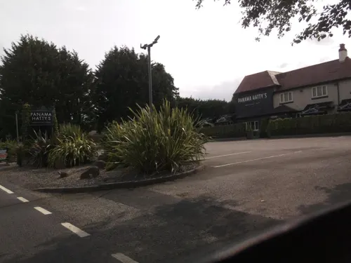
- Street-level photo, blackadder, CC BY-SA 4.0
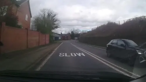
- Street-level photo, southglos, CC BY-SA 4.0
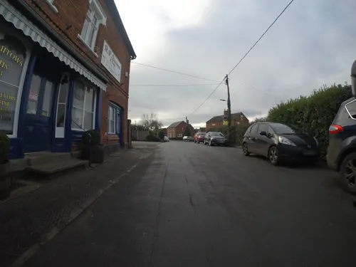
- Street-level photo, blackadder, CC BY-SA 4.0
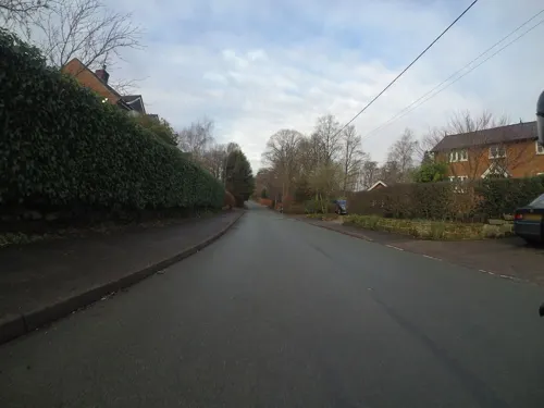
- Street-level photo, blackadder, CC BY-SA 4.0
- Street-level photo, trigpoint, CC BY-SA 4.0
- Street-level photo, southglos, CC BY-SA 4.0
Page built November 10, 2026. Spotted a mistake? Tell us or suggest a place.