


Why visit Campsall
Townapedia lists 1 museum or landmark, 2 parks and trails and 12 places to eat in and around town.
Weather in Campsall
Forecast from MET Norway (CC BY 4.0). Full forecast
About Campsall
Campsall is a village in the civil parish of Norton, in the Doncaster district, in the county of South Yorkshire, England. It lies 7 miles (11 km) to the north-west of Doncaster, at an elevation of around 50 feet above sea level. The village contains Campsall Country Park. The village falls within the Norton & Askern ward of Doncaster Council and the House of Commons constituency of Doncaster North.
From the Wikipedia article Campsall (this version), under CC BY-SA 4.0.
Museums and landmarks1

Parks, trails and playgrounds2


Restaurants and cafes12
Dainty Doris Coffee Shop
Cafe · Coffee Shop · 1.3 mi
Norton Common Road, Doncaster
Mo-Sa 09:30-15:30

Churches and places of worship7

Church of St Martin
Church · 3.2 mi
Church in Womersley, North Yorkshire, England, UK
Church of St Peter
Church · 2.2 mi
Church in Kirk Smeaton, North Yorkshire, England
St Mary Magdalene, Campsall
Church
Grade I listed church in Norton, Doncaster, South Yorkshire, England, UK


History
The name Campsall probably derives from the Old English camshalh meaning 'Cam's nook of land'. Alternatively, the first element could be derived from the Primitive Welsh camm meaning 'crooked'.
Following the departure of the Romans, who had a small fort two miles to the west which guarded the crossing of the River Skell by the Great North Road, an early wooden Saxon church was established at Campsall, although nothing of this remains today. Following the Conquest a large Norman church was built out of local stone to serve the local population who were engaged with agricultural and rural employment during the mediaeval period. During this time Campsall was rapidly growing in importance and was granted a royal charter in 1294 entitling it to a weekly Thursday market and an annual four-day fair. These had ceased by 1627. A public house, the Ring of Bells (now called the Old Bells) was opened near the church and this pub is believed to be one of the oldest in Yorkshire.
During the 18th century, the village was dominated by the landed gentry. At opposite ends of the village, the Bacon-Franks constructed Campsall Hall and the Cooke-Yarboroughs built Campsmount. The villagers were still mostly employed with farming and working on the two estates, and even the establishment of nearby Askern Colliery in 1910 had little impact on the work force of Campsall.
Read more of the history
Campsall was historically a large parish in the West Riding of Yorkshire. The ancient parish included the townships of Norton, Sutton, Askern, Fenwick, and Moss, all of which became separate civil parishes in 1866. The civil parish of Campsall was abolished on 1 April 1938, and merged into the parish of Norton. In 1931 the parish had a population of 260.
It was not until the 1950s, that major changes began to affect the village. During this time, the Bacon-Franks abandoned Campsall Hall; it was rumoured that Mrs Bacon-Frank was growing tired of the view of Askern Colliery from the Hall. From 1956 the local authority and the National Coal Board developed a large area of housing in Campsall Park and Campsall Hall was converted into flats until 1986 when it was demolished. The Cooke-Yarboroughs had left Campsmount in the late 1930s, and the building was used as a military hospital until demolition in the 1950s. A private housing estate was built during the 1970s in the grounds of Campsmount Park.
From the History section of Campsall on Wikipedia, under CC BY-SA 4.0.
Notable people from Campsall
- George SwindinEnglish footballer and manager (1914-2005)
- Jack BrownswordEnglish footballer (1923-2009)
- Gary McGuirefootballer (born 1938)
- Ted Cooke-YarboroughPhysicist, computer pioneer
- Richard BowkerAustralian mariner, physician, surgeon and politician (1815-1903)
Born in Campsall, according to Wikidata (CC0). Each name links to its Wikipedia article.
Shopping3
Gas and EV charging1
Schools, colleges and libraries6
Healthcare1
Map of Campsall
33 places. The map loads OpenStreetMap tiles when you open it.
Getting there and nearby towns
Leeds Bradford Airport (LBA) is the nearest airport with scheduled flights listed in OpenStreetMap, 26 miles away.
- Adwick le Street 3 mi south, about 5 min by car
- South Elmsall 4 mi west, about 7 min by car
- Darrington 5 mi northwest, about 9 min by car
- Bentley 6 mi south, about 10 min by car
- Kirk Sandall 6 mi southeast, about 10 min by car
- Low Ackworth 6 mi west, about 10 min by car
- Doncaster 7 mi south, about 11 min by car
- Pontefract 7 mi northwest, about 12 min by car
- Knottingley 7 mi northwest, about 11 min by car
- Armthorpe 8 mi southeast, about 13 min by car
Drive times are estimates from straight-line distance, not routes.
Towns near Campsall


Keep exploring
Local news
Headlines from INDB.
Reviews, tips and questions
Loading what members have shared...
Sources and licences
- GeoNames (CC BY 4.0): population, coordinates, regions and time zone
- Mapillary (see each image): photos
- OpenStreetMap contributors (ODbL 1.0): places, airports, map data
- Wikidata (CC0 1.0): elevation, founding date, time zone, website, landmarks and historic places
- Wikimedia Commons (see each image): photos
- Wikipedia (CC BY-SA 4.0): overview and history text
Photo credits
- St Mary Magdalene's Church, Campsall, Bill Henderson, CC BY-SA 2.0
- Burghwallis 1, DamonGS, CC BY-SA 3.0
- Church of St Martin 2025, Victuallers, CC BY-SA 4.0
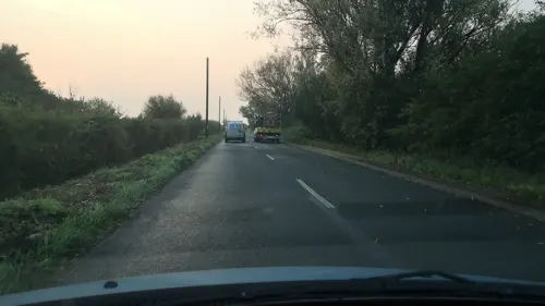
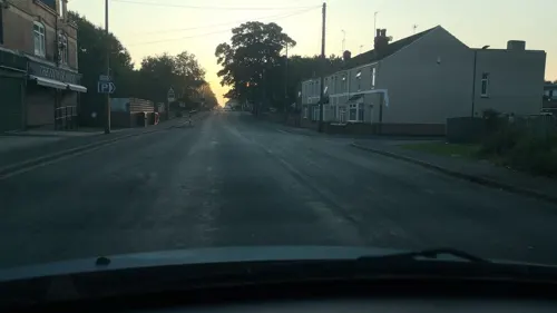
- Street-level photo, cuttlebug, CC BY-SA 4.0
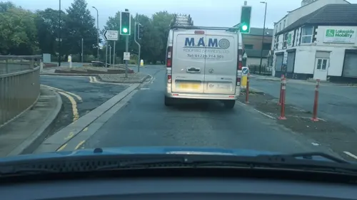
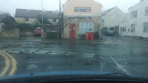
- Street-level photo, cuttlebug, CC BY-SA 4.0
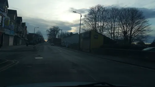
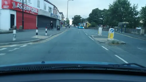
- Street-level photo, cuttlebug, CC BY-SA 4.0
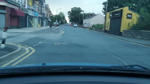
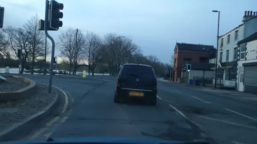
- Street-level photo, cuttlebug, CC BY-SA 4.0
- Street-level photo, cuttlebug, CC BY-SA 4.0
- Street-level photo, cuttlebug, CC BY-SA 4.0
- Street-level photo, cuttlebug, CC BY-SA 4.0
- Street-level photo, cuttlebug, CC BY-SA 4.0
- Street-level photo, cuttlebug, CC BY-SA 4.0
- Street-level photo, cuttlebug, CC BY-SA 4.0
- Street-level photo, cuttlebug, CC BY-SA 4.0
- Street-level photo, cuttlebug, CC BY-SA 4.0
- Street-level photo, cuttlebug, CC BY-SA 4.0
Page built November 10, 2026. Spotted a mistake? Tell us or suggest a place.