


Darrington, United Kingdom
Darrington is a town of 1,182 people in England, United Kingdom.
Why visit Darrington
Townapedia lists 4 museums and landmarks, 3 parks and trails, 24 places to eat, 3 places to stay and 2 attractions in and around town.
Highlights include Ferry Bridge, Wentbridge Viaduct Carrying Bypass Over Valley Of River Went, Pontefract Castle and Pontefract Museum.
Weather in Darrington
Forecast from MET Norway (CC BY 4.0). Full forecast
About Darrington
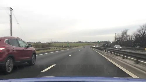
Darrington is a small village and civil parish in the City of Wakefield in West Yorkshire, England, 3 miles (4.8 km) from Pontefract and 25 miles (40 km) from the city of York. The village is split in two by the busy A1 trunk road which runs from London to Scotland. The 2011 census population was 1,403.
From the Wikipedia article Darrington, West Yorkshire (this version), under CC BY-SA 4.0.
Things to do2
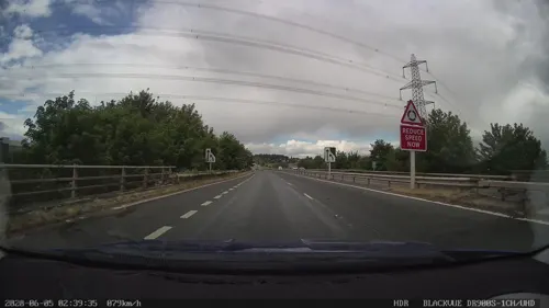
Ferry Bridge
Bridge · 2.8 mi
Grade I listed bridge in Ferrybridge, West Yorkshire, England

Wentbridge Viaduct Carrying Bypass Over Valley Of River Went
Bridge · 1.9 mi
Road bridge in Darrington, Wakefield, West Yorkshire, England, UK
Museums and landmarks4

Pontefract Castle
Museum · 2.0 mi
Castle in West Yorkshire, England, UK
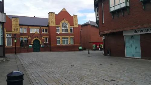
Pontefract Museum
Museum · 2.1 mi
Museum in Pontefract, West Yorkshire, United Kingdom

Battle of Chequer Field
Monument and historic site · 1.2 mi
The Royalists (led by Sir Marmaduke Langdale) relieve Pontefract castle, which had been under siege
Parks, trails and playgrounds3


Restaurants and cafes24





12 more on the map.
History
The history of Darrington can be traced back to the time of Edward the Confessor.
The last Anglo Saxon owners of Darrington were named Jordan, Baret and Alsi. After the Norman conquest it fell to the ownership of Ilbert de Lacy, a favourite of William the Conqueror. The village was recorded in the Domesday Book as Darnintone, which means the town of Daegheard's people.
Darrington was on the old Great North Road, and was 175 miles (282 km) north of London. The A1 bypass to the east end of the civil parish was built in the 1970s.
From the History section of Darrington, West Yorkshire on Wikipedia, under CC BY-SA 4.0.
Where to stay3
Churches and places of worship9
Church of the Holy Family
Church · Roman Catholic · 1.4 mi
Chequerfield Road, Pontefract
Shopping1
Gas and EV charging2
Schools, colleges and libraries7
Healthcare1
Map of Darrington
56 places. The map loads OpenStreetMap tiles when you open it.
Getting there and nearby towns
Leeds Bradford Airport (LBA) is the nearest airport with scheduled flights listed in OpenStreetMap, 21 miles away.
- Pontefract 2 mi northwest, about 3 min by car
- Knottingley 2 mi north, about 4 min by car
- Ferrybridge 2 mi north, about 4 min by car
- Low Ackworth 3 mi southwest, about 5 min by car
- Featherstone 4 mi west, about 6 min by car
- Castleford 5 mi northwest, about 8 min by car
- South Elmsall 5 mi south, about 9 min by car
- Monk Fryston 6 mi north, about 10 min by car
- Methley 7 mi northwest, about 11 min by car
- Kippax 8 mi northwest, about 12 min by car
Drive times are estimates from straight-line distance, not routes.
Towns near Darrington


Keep exploring
Local news
Headlines from INDB.
Reviews, tips and questions
Loading what members have shared...
Sources and licences
- GeoNames (CC BY 4.0): population, coordinates, regions and time zone
- Mapillary (see each image): photos
- OpenStreetMap contributors (ODbL 1.0): places, airports, map data
- Wikidata (CC0 1.0): elevation, founding date, time zone, website, landmarks and historic places
- Wikimedia Commons (see each image): photos
- Wikipedia (CC BY-SA 4.0): overview and history text
Photo credits
- Darrington - Westfield Lane, Bill Henderson, CC BY-SA 2.0
- Former School, Darrington, Jonathan Thacker, CC BY-SA 2.0
- Church House, Darrington, Jonathan Thacker, CC BY-SA 2.0
- Pedestal and Cross Base, Darrington, Jonathan Thacker, CC BY-SA 2.0
- Spread Eagle, Darrington (17981833299), Tim Green from Bradford, UK, CC BY 2.0
- Houses opposite Church Lane, Darrington, Jonathan Thacker, CC BY-SA 2.0
- Pontefract Castle, Unknown author, Public domain
- All Saints, Pontefract (27364027412), Tim Green from Bradford, CC BY 2.0
- St Botolph, Knottingley, Tim Green, CC BY 2.0
- Micklegate Methodist Church, Pontefract (1), Rept0n1x, CC BY-SA 3.0
- Church of the Holy Family, Chequerfield Road, Pontefract (8th March 2022) 002, Mtaylor848, CC BY-SA 4.0
- Interior of the Chequerfield, The Circle, Pontefract (8th September 2023) 007, Mtaylor848, CC BY-SA 4.0
- Street-level photo, cuttlebug, CC BY-SA 4.0
- Street-level photo, cuttlebug, CC BY-SA 4.0
- Street-level photo, cuttlebug, CC BY-SA 4.0
- Street-level photo, humez, CC BY-SA 4.0
- Street-level photo, cuttlebug, CC BY-SA 4.0
- Street-level photo, gmc, CC BY-SA 4.0
- Street-level photo, lvl5, CC BY-SA 4.0
- Street-level photo, cuttlebug, CC BY-SA 4.0
- Street-level photo, gmc, CC BY-SA 4.0
- Street-level photo, cuttlebug, CC BY-SA 4.0
- Street-level photo, cuttlebug, CC BY-SA 4.0


Page built November 10, 2026. Spotted a mistake? Tell us or suggest a place.