


Cefn Cribwr, United Kingdom
Cefn Cribwr is a town of 1,324 people in Wales, United Kingdom.
Why visit Cefn Cribwr
Townapedia lists 5 museums and landmarks, 3 parks and trails, 7 places to eat, 1 place to stay and 2 attractions in and around town.
Highlights include Old Bridge, Kenfig Castle and Bryngarw Country Park.
Weather in Cefn Cribwr
Forecast from MET Norway (CC BY 4.0). Full forecast
About Cefn Cribwr
Cefn Cribwr is a village and community in Bridgend County Borough in south Wales. The village is located about 5 miles (8 km) from the centre of Bridgend town, and in-between Bridgend and Pyle.
From the Wikipedia article Cefn Cribwr (this version), under CC BY-SA 4.0.
Things to do2

Old Bridge
Bridge · 3.6 mi
Grade II* listed building in Bridgend County Borough. Bridge in Bridgend, south Wales

Museums and landmarks5

Kenfig Castle
Monument and historic site · 3.3 mi
Ruins of castle in Wales, UK

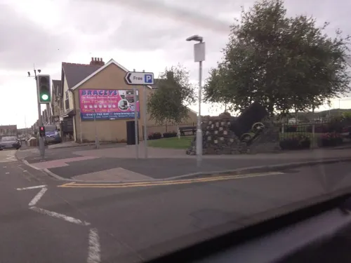
Cefn Junction
Museum · 0.5 mi
"As advertised locally, which is usually Saturday afternoons in August."

Parks, trails and playgrounds3

Bryngarw Country Park
Park · 3.5 mi
Park in Bridgend County Borough, United Kingdom


Restaurants and cafes7
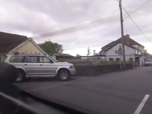
The Three Horseshoes
Bar and pub
Th 18:00-23:00; Fr 16:00-23:00; Sa 12:00-23:00; Su 12:00-22:30
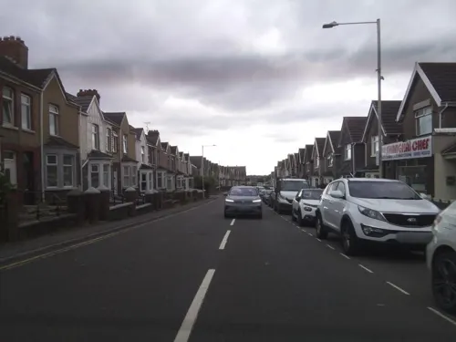
Cefn Chinese
Fast food · Chinese
58 Cefn Road, Bridgend
We-Th,Su 17:30-21:30; Fr-Sa 17:30-22:00


Kenfig Hill Labour Club
Bar and pub · 1.1 mi
15 Prince Road, Bridgend
Mo-Tu 16:00-00:00; We 14:00-00:00; Th 16:00-00:00; Fr-Sa...
Cefn Cribwr Athletics Club
Bar and pub · 0.5 mi
We,Th 19:00-23:30; Fr 14:00-24:00; Sa 12:00-24:00; Su 12:00-22:30
Notable people from Cefn Cribwr
 John WatersBritish Army officerPhoto: William Salter, Public domain
- Keith BradshawWelsh rugby union player
Born in Cefn Cribwr, according to Wikidata (CC0). Each name links to its Wikipedia article.
Where to stay1
Churches and places of worship14
Shopping1
Gas and EV charging1
Schools, colleges and libraries5
Map of Cefn Cribwr
39 places. The map loads OpenStreetMap tiles when you open it.
Getting there and nearby towns
Cardiff Airport (CWL) is the nearest airport with scheduled flights listed in OpenStreetMap, 16 miles away.
- Pyle 2 mi southwest, about 4 min by car
- Aberkenfig 3 mi east, about 4 min by car
- Bridgend 4 mi southeast, about 6 min by car
- Coity 4 mi east, about 7 min by car
- Porthcawl 4 mi southwest, about 7 min by car
- Maesteg 5 mi north, about 9 min by car
- Taibach 6 mi northwest, about 10 min by car
- Pencoed 7 mi east, about 11 min by car
- Cwmafan 8 mi northwest, about 12 min by car
- Briton Ferry 10 mi northwest, about 16 min by car
Drive times are estimates from straight-line distance, not routes.
Towns near Cefn Cribwr


Keep exploring
Local news
Headlines from INDB.
Reviews, tips and questions
Loading what members have shared...
Sources and licences
- GeoNames (CC BY 4.0): population, coordinates, regions and time zone
- Mapillary (see each image): photos
- OpenStreetMap contributors (ODbL 1.0): places, airports, map data
- Wikidata (CC0 1.0): elevation, founding date, time zone, website, landmarks and historic places
- Wikimedia Commons (see each image): photos
- Wikipedia (CC BY-SA 4.0): overview and history text
Photo credits
- Clavaria, 8 inches high, Cefn Cribwr, Clavulinopsis fusiformis (31021955645), Dr Mary Gillham Archive Project, CC BY 2.0
- Clavaria fusiformis, Cefn Cribwr, potential reserve. (Clavulinopsis fusiformis) (31021793455), Dr Mary Gillham Archive Project, CC BY 2.0
- Clavulinopsis fusiformis, Cefn Cribwr near Maesteg (30720106260), Dr Mary Gillham Archive Project, CC BY 2.0
- Old Bridge (Yr Hen Bont) Bridgend 2948762 b59f41b8, Chris Andrews, CC BY-SA 2.0
- Bryngarw Country Park, Cafe 2011, Fillius, CC BY-SA 3.0
- Kenfig Castle ruins, Mick Lobb, CC BY-SA 2.0
- Cefn Junction Signal Box, Ben Salter, CC BY 2.0
- Street-level photo, southglos, CC BY-SA 4.0
- Street-level photo, southglos, CC BY-SA 4.0
- Street-level photo, southglos, CC BY-SA 4.0
- Street-level photo, southglos, CC BY-SA 4.0
- Street-level photo, southglos, CC BY-SA 4.0
- Street-level photo, southglos, CC BY-SA 4.0
- Street-level photo, southglos, CC BY-SA 4.0
- Street-level photo, southglos, CC BY-SA 4.0
- Street-level photo, southglos, CC BY-SA 4.0
- Street-level photo, southglos, CC BY-SA 4.0
Page built November 10, 2026. Spotted a mistake? Tell us or suggest a place.