


Charlestown of Aberlour, United Kingdom
Charlestown of Aberlour is a town of 1,020 people in Scotland, United Kingdom.
Why visit Charlestown of Aberlour
Townapedia lists 9 museums and landmarks, 3 parks and trails, 11 places to eat, 6 places to stay and 5 attractions in and around town.
Highlights include Craigellachie Bridge and Bridge of Carron.
Weather in Charlestown of Aberlour
Forecast from MET Norway (CC BY 4.0). Full forecast
About Charlestown of Aberlour
Aberlour (; Scottish Gaelic: Obar Lobhair) is a town in Moray, Scotland, 12 miles (20 km) south of Elgin on the road to Grantown. The Lour burn is a tributary of the River Spey, and it and the surrounding parish are both named Aberlour, but the name is more commonly used in reference to the village which straddles the stream and flanks the Spey – although the full name of the village is Charlestown of Aberlour.
From the Wikipedia article Aberlour (this version), under CC BY-SA 4.0.
Photos of Charlestown of Aberlour


Things to do5

Craigellachie Bridge
Bridge · 1.8 mi
Cast-iron bridge in Moray, Scotland



Museums and landmarks9
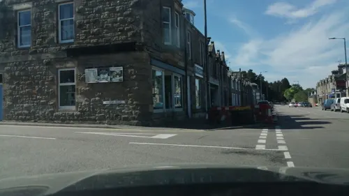

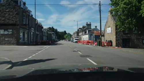


Parks, trails and playgrounds3


Restaurants and cafes11

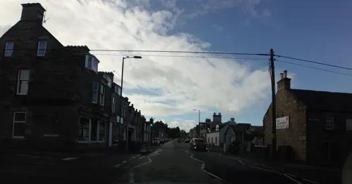
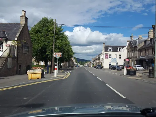
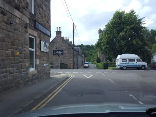
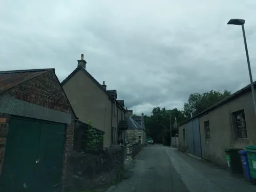


Aberlour Takaway
Fast food · Fish And Chips
92 High Street
Mo-Fr 12:00-14:00,16:30-21:30; Sa16:30-21:30; Su 16:30-20:30
History
A site noted as Abirlaur is shown in this location on maps in Joan Blaeu's Atlas of Scotland, from 1654. The current village, Charlestown of Aberlour, was "founded by Charles Grant of Elchies in 1812 – with the name of Charlestown of Aberlour after his son Charles." It is commonly referred to simply as Aberlour. A grant of land from Charles Grant senior feued 100 plots along the south bank of the river and saw the start of the High Street (formerly Main Street) and parish church. The three locations are close enough in definition for there to be little distinction between them. The village was granted its feu charter in 1814 and began to operate its own markets. Whisky was a major industry even then and once the 1823 Excise Act was passed and a longer warehousing process introduced it began to take on the more mature characteristics that are familiar today.
Read more of the history
The first Aberlour distillery was established shortly after the Act became law, by the owner of a gentleman's estate where Aberlour House is situated. Soon after the property changed hands, that distillery was demolished. In 1879, local resident James Fleming (1830-1895, built a new Aberlour distillery alongside the Lour Burn; which is now owned and operated by the Pernod Ricard group of companies. Fleming was also a bank agent and became a significant resident and generous benefactor in the village, providing its first purpose-built meeting place, The Fleming Hall (1889), followed by The Fleming Cottage Hospital (1900), and - as a safe pedestrian crossing over the fast-flowing river Spey - The Victoria Bridge, completed in 1902 and known locally as the Penny Bridge.
According to the 1846 A Topographical Dictionary of Scotland, "This parish, formerly called Skirdustan, signifying, in the Gaelic tongue, 'the division of Dustan', its tutelary saint, derived its present name from its situation at the mouth of a noisy burn, which discharges itself into the river Spey."
Aberlour once was the site of an orphanage which was founded in 1875 by Margaret Macpherson Grant and a minister called Charles Jupp. His tomb lies in St Margaret's Episcopal Church which was the church used by the children of the orphanage. The orphanage was split into two separate units – one for the girls and the other for the boys. Between the two buildings was the school where the children were taught. The horror author Dorothy K. Haynes and her twin brother Leonard spent four years, from 1929 to 1933, in Aberlour Orphanage; her experiences are recounted in her 1973 memoir Haste Ye Back. Aberlour Child Care Trust is now one of Scotland's main children's charities with services throughout Scotland. The Trust was also found to be a child care institution where children suffered physical, emotional and sexual abuse at the Scottish Child Abuse Inquiry in 2021.
Aberlour is also the place where the famous Walkers shortbread is made. Walkers own the woods behind the factory – Fisherton woods. Until 2004, Aberlour House was the site of a school, a prep school for Gordonstoun; it is now offices for Walkers. Aberlour Golf Club (now defunct) first appeared in 1905 and continued until the late 1930s.
Thomas Telford, the renowned civil engineer designed Craigellachie Bridge spanning the River Spey about 2 miles (3 km) to the north of the village. It was built after the Great Spate in the 19th century destroyed an earlier bridge.
Alexander Cameron Sim, a pharmacist who introduced lemonade (locally called ramune) to Japan, was born in the village.
The area was once served by Aberlour railway station, but this closed on 18 October 1965 as a result of the Beeching Axe.
From the History section of Aberlour on Wikipedia, under CC BY-SA 4.0.
Notable people from Charlestown of Aberlour
- Margaret Macpherson GrantScottish philanthropist
- Alexander Cameron SimScottish businessman (1840–1900)
Born in Charlestown of Aberlour, according to Wikidata (CC0). Each name links to its Wikipedia article.
Where to stay6
Churches and places of worship4
St Margaret's Episcopal Church and Burial Ground, Aberlour
Church · 0.4 mi
Shopping5
Schools, colleges and libraries3
Healthcare2
Map of Charlestown of Aberlour
48 places. The map loads OpenStreetMap tiles when you open it.
Getting there and nearby towns
RAF Lossiemouth (LMO) is the nearest airport with scheduled flights listed in OpenStreetMap, 17 miles away.
- Rothes 4 mi north, about 6 min by car
- Dufftown 4 mi southeast, about 6 min by car
- Fochabers 11 mi northeast, about 18 min by car
- Elgin 13 mi north, about 21 min by car
- Cullen 21 mi northeast, about 34 min by car
- Nairn 25 mi west, about 41 min by car
- Portsoy 25 mi northeast, about 40 min by car
- Ballater 30 mi south, about 48 min by car
- Inverurie 34 mi east, about 55 min by car
- Inverness 37 mi west, about 1 h by car
Drive times are estimates from straight-line distance, not routes.
Towns near Charlestown of Aberlour


Keep exploring
Local news
Headlines from INDB.
Reviews, tips and questions
Loading what members have shared...
Sources and licences
- GeoNames (CC BY 4.0): population, coordinates, regions and time zone
- Mapillary (see each image): photos
- OpenStreetMap contributors (ODbL 1.0): places, airports, map data
- Wikidata (CC0 1.0): elevation, founding date, time zone, website, landmarks and historic places
- Wikimedia Commons (see each image): photos
- Wikipedia (CC BY-SA 4.0): overview and history text
Photo credits
- Aberlour Highland Games 2026 (2), Lucas Kendall, CC BY-SA 4.0
- Bridge in hill, Tama66, CC0
- Aberlour Distillery 2, my friend, Y. Kohno, CC BY-SA 3.0
- Aberlour Distillery - panoramio, Alan Jamieson, CC BY-SA 3.0
- Aberlour Parish Church, from High Street, DuncanJohn44, CC BY-SA 4.0
- Aberlour highstreet - panoramio, Neil Parley, CC BY 3.0
- Aberlour Parish Church, DuncanJohn44, CC BY-SA 4.0
- Old Drill Hall, 7 The Square, front view, DuncanJohn44, CC BY-SA 4.0
- Old Drill Hall 7 The Square, Side view, DuncanJohn44, CC BY-SA 4.0
- Craigellachie from Old Bridge, Lucas Kendall, CC BY-SA 2.0
- Aberlour War Memorial, DuncanJohn44, CC BY-SA 4.0
- MacPherson Grant Mausoleum, Front View, DuncanJohn44, CC BY-SA 4.0
- Street-level photo, caz440, CC BY-SA 4.0
- Street-level photo, hobgoblin, CC BY-SA 4.0
- Street-level photo, hobgoblin, CC BY-SA 4.0
- Street-level photo, hobgoblin, CC BY-SA 4.0
- Street-level photo, hobgoblin, CC BY-SA 4.0
- Street-level photo, hobgoblin, CC BY-SA 4.0
- Street-level photo, hobgoblin, CC BY-SA 4.0
- Street-level photo, hobgoblin, CC BY-SA 4.0
- Street-level photo, hobgoblin, CC BY-SA 4.0
- Street-level photo, ccbb7766, CC BY-SA 4.0
- Street-level photo, hobgoblin, CC BY-SA 4.0
- Street-level photo, ccbb7766, CC BY-SA 4.0
- Street-level photo, hobgoblin, CC BY-SA 4.0
- Street-level photo, hobgoblin, CC BY-SA 4.0
- Street-level photo, caz440, CC BY-SA 4.0
- Street-level photo, caz440, CC BY-SA 4.0
- Street-level photo, hobgoblin, CC BY-SA 4.0
- Street-level photo, hobgoblin, CC BY-SA 4.0
- Street-level photo, ccbb7766, CC BY-SA 4.0
- Street-level photo, ccbb7766, CC BY-SA 4.0
Page built November 10, 2026. Spotted a mistake? Tell us or suggest a place.