


Choppington, United Kingdom
Choppington is a town of 3,001 people in England, United Kingdom.
Why visit Choppington
Townapedia lists 10 museums and landmarks, 9 parks and trails and 54 places to eat in and around town.
Highlights include Woodhorn Museum, Bedlington War Memorial, Mafeking Park and Castle Island.
Weather in Choppington
Forecast from MET Norway (CC BY 4.0). Full forecast
About Choppington
Choppington is a large village and civil parish in Northumberland, England. It is situated 5 miles to the south-east of Morpeth, and north of Bedlington. It was at one time part of the three big mid-Northumberland collieries (Ashington, Bomarsund and Choppington). In 2011 the parish had a population of 9787.
From the Wikipedia article Choppington (this version), under CC BY-SA 4.0.
Museums and landmarks10
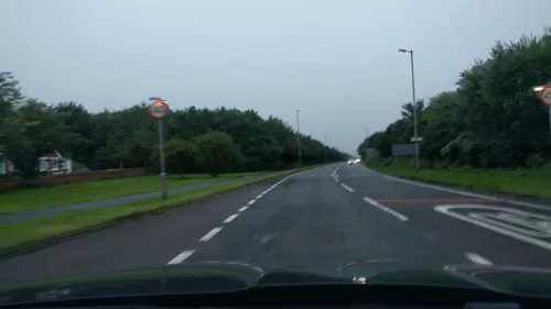
Woodhorn Museum
Museum · 3.4 mi
Museum, archive and county record office for Northumberland
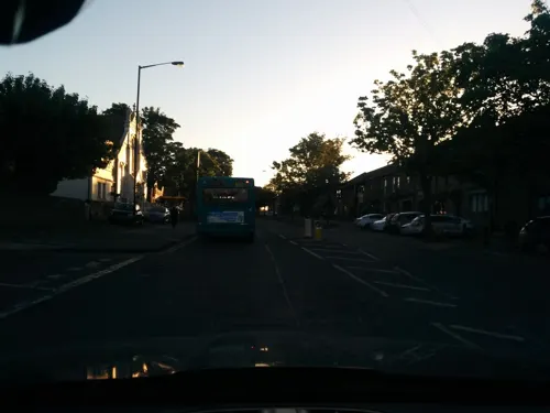

Parks, trails and playgrounds9

Mafeking Park
Park · 3.4 mi
Public park in Morpeth, Northumberland, England

Castle Island
Park · 2.0 mi
Island in the River Wansbeck in Ashington, Northumberland, England
Plessey Woods Country Park
Park · 2.6 mi
Park in Northumberland, United Kingdom

Restaurants and cafes54
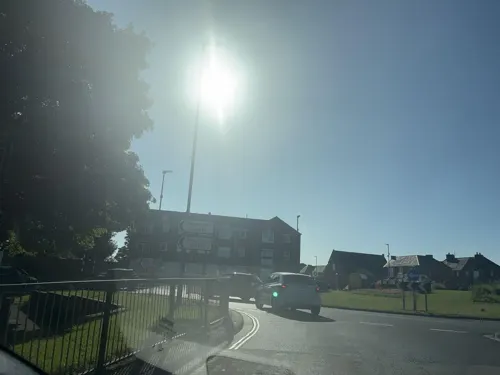
Wharton Arms
Bar and pub · 1.3 mi
Burdon Terrace, Bedlington
Su-Th 11:00-23:00, Fr,Sa 11:00-01:30
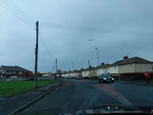
Ristorante Verde
Restaurant · Italian · 1.4 mi
3 Vulcan Place, Bedlington
Rossini
Restaurant · Italian · 1.5 mi
Station Road, Bedlington


42 more on the map.
Churches and places of worship9



Kingdom Hall of Jehovah's Witnesses
Place of worship · Jehovahs Witness · 1.5 mi
Stead Lane, Bedlington
Notable people from Choppington
- Robert CairnsBritish association football player (1927-1958)
- Fred SmithEnglish footballer born in 1942
- Jack PriorEnglish association footballer (1904-1982)
Born in Choppington, according to Wikidata (CC0). Each name links to its Wikipedia article.
Shopping8
Gas and EV charging4
Schools, colleges and libraries14
Bedlington Whitley Memorial Church of England Primary School
School · Anglican · 1.4 mi
Gordon Terrace, Bedlington
Healthcare7
Lynne & Anthony Metcalff - Chiropodist
Clinic and pharmacy · 1.5 mi
Front Street East, Bedlington
Front Street Pharmacy
Clinic and pharmacy · 1.3 mi
28 Front Street West, Bedlington
Map of Choppington
115 places. The map loads OpenStreetMap tiles when you open it.
Getting there and nearby towns
Newcastle International Airport (NCL) is the nearest airport with scheduled flights listed in OpenStreetMap, 9 miles away.
- Bedlington 1 mi south, about 2 min by car
- Ashington 2 mi northeast, about 4 min by car
- Pegswood 3 mi northwest, about 4 min by car
- Morpeth 4 mi west, about 6 min by car
- Blyth 4 mi southeast, about 7 min by car
- Cramlington 4 mi south, about 7 min by car
- Lynemouth 5 mi northeast, about 8 min by car
- Seghill 6 mi south, about 10 min by car
- Dinnington 7 mi southwest, about 12 min by car
- Hazlerigg 8 mi south, about 12 min by car
Drive times are estimates from straight-line distance, not routes.
Towns near Choppington


Keep exploring
Local news
Headlines from INDB.
Reviews, tips and questions
Loading what members have shared...
Sources and licences
- GeoNames (CC BY 4.0): population, coordinates, regions and time zone
- Mapillary (see each image): photos
- OpenStreetMap contributors (ODbL 1.0): places, airports, map data
- Wikidata (CC0 1.0): elevation, founding date, time zone, website, landmarks and historic places
- Wikimedia Commons (see each image): photos
- Wikipedia (CC BY-SA 4.0): overview and history text
Photo credits
- Mafeking Park (Roundabout), Dreamy Jazz, CC BY-SA 4.0
- St Cuthbert's Church, Bedlington, John Lord, CC BY-SA 2.0
- Street-level photo, NinjaBill, CC BY-SA 4.0
- Street-level photo, floatingboater, CC BY-SA 4.0
- Street-level photo, floatingboater, CC BY-SA 4.0
- Street-level photo, floatingboater, CC BY-SA 4.0
- Street-level photo, floatingboater, CC BY-SA 4.0
- Street-level photo, floatingboater, CC BY-SA 4.0
- Street-level photo, floatingboater, CC BY-SA 4.0
- Street-level photo, NinjaBill, CC BY-SA 4.0
- Street-level photo, NinjaBill, CC BY-SA 4.0
- Street-level photo, floatingboater, CC BY-SA 4.0
- Street-level photo, floatingboater, CC BY-SA 4.0
- Street-level photo, floatingboater, CC BY-SA 4.0
- Street-level photo, floatingboater, CC BY-SA 4.0
- Street-level photo, floatingboater, CC BY-SA 4.0
- Street-level photo, floatingboater, CC BY-SA 4.0
- Street-level photo, floatingboater, CC BY-SA 4.0
- Street-level photo, NinjaBill, CC BY-SA 4.0
- Street-level photo, floatingboater, CC BY-SA 4.0
- Street-level photo, floatingboater, CC BY-SA 4.0
- Street-level photo, NinjaBill, CC BY-SA 4.0
- Street-level photo, NinjaBill, CC BY-SA 4.0
- Street-level photo, floatingboater, CC BY-SA 4.0
- Street-level photo, floatingboater, CC BY-SA 4.0
- Street-level photo, NinjaBill, CC BY-SA 4.0
- Street-level photo, NinjaBill, CC BY-SA 4.0
- Street-level photo, floatingboater, CC BY-SA 4.0
- Street-level photo, NinjaBill, CC BY-SA 4.0
- Street-level photo, floatingboater, CC BY-SA 4.0
- Street-level photo, floatingboater, CC BY-SA 4.0
- Street-level photo, floatingboater, CC BY-SA 4.0
Page built November 10, 2026. Spotted a mistake? Tell us or suggest a place.