


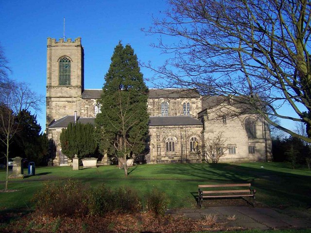
Why visit Colwich
Townapedia lists 24 museums and landmarks, 12 parks and trails, 64 places to eat, 4 places to stay and 6 attractions in and around town.
Highlights include Garden bridge, Shugborough Hall, Shepherd's Monument at Shugborough Hall and The Walled Garden.
Weather in Colwich
Forecast from MET Norway (CC BY 4.0). Full forecast
About Colwich
Colwich is a civil parish and village in Staffordshire, England. It is situated off the A51 road, about 3 miles (5 km) north-west of Rugeley and 7 miles (11 km) south-east of Stafford. It lies principally on the north-east bank of the River Trent, near Wolseley Bridge and just north of The Chase. The parish comprises about 2,862 hectares (28.62 km2) of land in the villages and hamlets of Colwich, Great Haywood, Little Haywood, Moreton, Bishton and Wolseley Bridge.
From the Wikipedia article Colwich, Staffordshire (this version), under CC BY-SA 4.0.
Things to do6

Garden bridge
Bridge · 1.6 mi
Grade I listed bridge at Shugborough Hall, Staffordshire, England


Museums and landmarks24

Shugborough Hall
Monument and historic site · 1.6 mi
Grade I listed historic house museum in Colwich, Stafford, Staffordshire, England, UK

Shepherd's Monument at Shugborough Hall
Monument and historic site · 1.6 mi
Monument in Colwich, United Kingdom




Tomb of Elizabeth Cuting and Emma Hollinhurst
Monument and historic site · 2.5 mi
12 more on the map.
Parks, trails and playgrounds12



Memorial Garden
Park
Memorial garden for Eric Goode, train driver killed in Colwich railway disaster, 1986.



Restaurants and cafes64
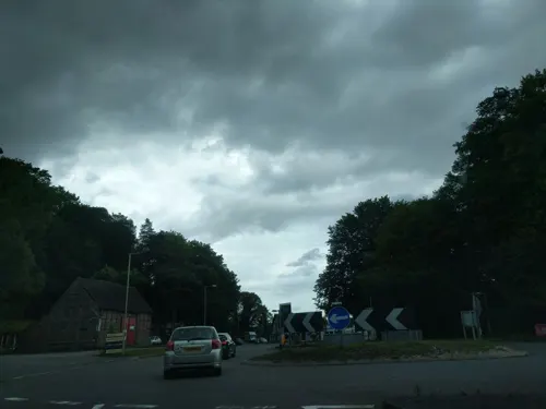
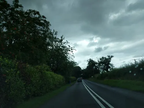
Whites at Oakedge
Cafe · Coffee Shop · 0.4 mi
Milford Road, Stafford
Tu-Su 09:00-16:00, Mo 09:00-15:00
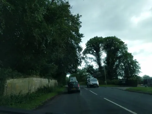

Grounds Café Birches Valley
Cafe · Ice Cream, Burger, Sandwich, Coffee Shop · 2.5 mi
Birches Valley, Rugeley
Mo-Fr 09:30-16:00, Sa-Su 09:00-17:00

52 more on the map.
Notable people from Colwich
 George Anson, 1st Baron AnsonBritish admiral (1697-1762)Photo: Attributed to Thomas Hudson, Public domain
- Dennis IzonFootballer (1907-1967)
- Sir Charles Wolseley, 7th BaronetEnglish politician
Born in Colwich, according to Wikidata (CC0). Each name links to its Wikipedia article.
Where to stay4
Churches and places of worship20
Shopping22
Gas and EV charging4
Schools, colleges and libraries15
Healthcare1
Map of Colwich
172 places. The map loads OpenStreetMap tiles when you open it.
Getting there and nearby towns
Birmingham Airport (BHX) is the nearest airport with scheduled flights listed in OpenStreetMap, 25 miles away.
- Great Haywood 2 mi northwest, about 3 min by car
- Rugeley 3 mi southeast, about 4 min by car
- Abbots Bromley 5 mi northeast, about 8 min by car
- Stafford 6 mi west, about 9 min by car
- Cannock 7 mi south, about 11 min by car
- Burntwood 8 mi south, about 12 min by car
- Great Wyrley 9 mi south, about 14 min by car
- Uttoxeter 9 mi northeast, about 15 min by car
- Lichfield 10 mi southeast, about 16 min by car
- Stone 11 mi northwest, about 18 min by car
Drive times are estimates from straight-line distance, not routes.
Towns near Colwich


Keep exploring
Local news
Headlines from INDB.
Reviews, tips and questions
Loading what members have shared...
Sources and licences
- GeoNames (CC BY 4.0): population, coordinates, regions and time zone
- Mapillary (see each image): photos
- OpenStreetMap contributors (ODbL 1.0): places, airports, map data
- Wikidata (CC0 1.0): elevation, founding date, time zone, website, landmarks and historic places
- Wikimedia Commons (see each image): photos
- Wikipedia (CC BY-SA 4.0): overview and history text
Photo credits
- Colwich Lock - Trent and Mersey Canal - panoramio (2), shakestd, CC BY 3.0
- Chinese Bridge, Shugborough Hall, Stephen Craven, CC BY-SA 2.0
- Shugborough Hall 01, Mandy Moore, CC BY-SA 2.0
- Shepherd's Monument, Shugborough Estate - Staffordshire, England - DSC00179, Daderot, Public domain
- Rugeley (33266782403), Alex Liivet from Chester, United Kingdom, CC0
- St. Augustine's Church Rugeley, Geoff Pick, CC BY-SA 2.0
- At Shugborough Hall 2021 141, Photograph by Mike Peel ( www.mikepeel.net )., CC BY-SA 4.0
- StLeonardBlithfield, Row17, CC BY-SA 2.0
- Great Haywood, Staffordshire - St Stephens Church 2, PicturePrince, CC BY-SA 4.0
- St John the Baptist's Church, Tixall, Tim Heaton, CC BY-SA 2.0
- St Thomas Church, Walton-on-the-hill, Unknown author Unknown author, Public domain
- Birches Valley Forest Centre Panorama - panoramio, WilliamTM, CC BY-SA 3.0
- Go Ape Cannock Chase - Site 1 - panoramio, WilliamTM, CC BY-SA 3.0
- Street-level photo, adam2, CC BY-SA 4.0
- Street-level photo, adam2, CC BY-SA 4.0
- Street-level photo, adam2, CC BY-SA 4.0
- Street-level photo, adam2, CC BY-SA 4.0
- Street-level photo, southglos, CC BY-SA 4.0
- Street-level photo, adam2, CC BY-SA 4.0
- Street-level photo, southglos, CC BY-SA 4.0
- Street-level photo, adam2, CC BY-SA 4.0
- Street-level photo, adam2, CC BY-SA 4.0
- Street-level photo, southglos, CC BY-SA 4.0
- Street-level photo, gmc, CC BY-SA 4.0


Page built November 10, 2026. Spotted a mistake? Tell us or suggest a place.