


Ferrybridge, United Kingdom
Ferrybridge is a town of 1,491 people in England, United Kingdom.
Why visit Ferrybridge
Townapedia lists 25 museums and landmarks, 12 parks and trails, 62 places to eat, 5 places to stay and 3 attractions in and around town.
Highlights include Ferry Bridge, Tickle Cock Bridge, Pontefract Castle and Dandy Mill.
Weather in Ferrybridge
Forecast from MET Norway (CC BY 4.0). Full forecast
About Ferrybridge
Ferrybridge is a village in West Yorkshire, England. Ferrybridge lies at a historically important crossing of the River Aire which borders the North Yorkshire village of Brotherton. It is linked to other communities by the A1, which follows the route of the Great North Road. The village falls within the Knottingley ward of Wakefield City Council.
From the Wikipedia article Ferrybridge (this version), under CC BY-SA 4.0.
Things to do3
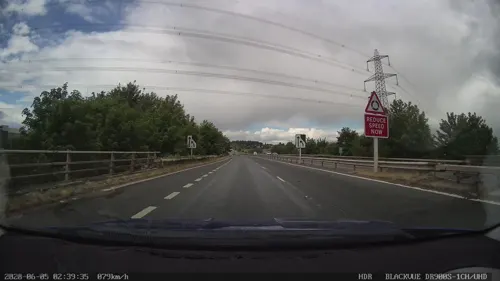
Ferry Bridge
Bridge · 0.5 mi
Grade I listed bridge in Ferrybridge, West Yorkshire, England

Tickle Cock Bridge
Bridge · 3.1 mi
Pedestrian underpass in Castleford, West Yorkshire, England

Museums and landmarks25

Pontefract Castle
Monument and historic site · 1.4 mi
Castle in West Yorkshire, England, UK
Mo-Fr 08:30-16:30; Sa-Su 09:30-16:30

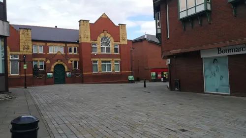
Pontefract Museum
Museum · 1.8 mi
Museum in Pontefract, West Yorkshire, United Kingdom
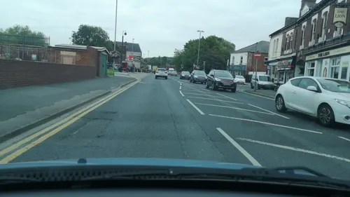
Queen's Mill
Museum · 3.2 mi
Historic flour mill in Castleford, West Yorkshire, UK
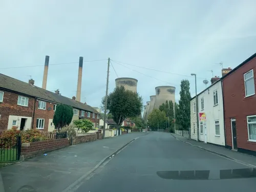
Battle of Ferrybrige
Monument and historic site
Part of the Wars of the Roses; preliminary to the Battle of Towton; indecisive

13 more on the map.
Parks, trails and playgrounds12

Fairburn Ings RSPB reserve
Park · 2.7 mi
RSPB nature reserve in the United Kingdom


Restaurants and cafes62
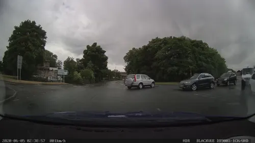
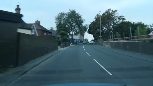
The Turnpike
Bar and pub · British · 0.6 mi
Pontefract Road, Knottingley




50 more on the map.
History
An archaeological feature at Ferrybridge is Ferrybridge Henge, a prehistoric ceremonial monument dating back to the Neolithic period, constructed during the period 4,500-1,500 BC, additionally a 2,400-year-old chariot burial has been discovered in the area.
The history of Ferrybridge - and its neighbour, Knottingley - dates back to the establishment of Anglo-Saxon settlements along this stretch of the river. The respective histories of the two settlements of Ferrybridge and Knottingley are closely linked, bringing glassmaking, shipbuilding, brewing and potteries to the area.
Ferrybridge stands where the Great North Road crosses the River Aire. Ferry Bridge is a Grade I listed building, and was designed by John Carr of York in 1797 and built by Bernard Hartley of Pontefract in 1804. Until 1810, a toll was payable to cross the bridge.
In March 1461, on the eve of the battle of nearby Towton, an engagement between the Lancastrians and Yorkists ended in a Lancastrian victory, and Lord Fitzwalter, the Yorkist leader was killed. This is known as the Battle of Ferrybridge.
Read more of the history
Up to the end of the 17th century, Knottingley was an important inland port in the West Riding as the River Aire was not navigable beyond it. The construction of the Aire and Calder Navigation Canal (by the Aire and Calder Navigation Act 1698 (10 Will. 3. c. 25) in 1699; the first navigation scheme authorised by an act of Parliament) diminished Knottingley's importance as a port by allowing barges on the river to navigate further upstream to Leeds.
Parliament authorized a new canal in 1820. Cutting through the centre of Knottingley, the new Aire and Calder Navigation Canal was opened in 1826 and connected the new port of Goole with the River Aire at Ferrybridge. The lock at Ferrybridge opened at 10 a.m. on 20 July 1826.
By the end of the Industrial Revolution, Ferrybridge had become a centre for glass production. The Ferrybridge railway station opened in 1882 on the Swinton and Knottingley Joint Railway (1879) and closed in 1965.
In the 20th century, three power stations were built, all on the same site—Ferrybridge A in 1926–1927, Ferrybridge B in 1957–1959, and Ferrybridge C in 1961–1968. Three of Ferrybridge C's cooling towers collapsed during construction in high winds in 1965. A fourth natural gas power station was expected to be built but because of soaring gas prices this did not go ahead.
From the History section of Ferrybridge on Wikipedia, under CC BY-SA 4.0.
More about Ferrybridge
Geography
Geologically, Ferrybridge and Knottingley are located on rich soil, over a bed of Magnesian Limestone.
The area is close to junctions of the M62 and A1(M) motorways, as well as junctions on the rail network, which runs northward to York, south to Pontefract (and Rotherham), west to both Wakefield and Leeds, east to Goole, and south-east to the East Coast Main Line. The River Aire meets the Aire and Calder navigation close to the east of the town.
The area is famous for the Ferrybridge power stations and the M62 services which offers eateries and lodging.
The Ferrybridge power stations to the north dominated the skyline around the village prior to their demolition.
The village has two public houses, "The Golden Lion", which sits by Ferrybridge lock and is steeped in colourful history during its time as a coaching inn, and "The Magnet Inn".
The village has two primary schools, one of which is in the top 250 schools in the country: the Vale Academy was described as "outstanding" in a 2013 Ofsted report. The other is Willow Green Academy, previously known as Roundhill Junior School and Ferrybridge Infant School.
From the Wikipedia article Ferrybridge, under CC BY-SA 4.0.
Where to stay5
Churches and places of worship15
Pontefract Kingdom Hall of Jehovah's Witnesses
Church · Jehovahs Witness · 0.7 mi
Orchard Head Lane, Pontefract
Shopping7
Gas and EV charging9
Schools, colleges and libraries10
Healthcare4
Map of Ferrybridge
152 places. The map loads OpenStreetMap tiles when you open it.
Getting there and nearby towns
Leeds Bradford Airport (LBA) is the nearest airport with scheduled flights listed in OpenStreetMap, 19 miles away.
- Knottingley 1 mi east, about 2 min by car
- Pontefract 2 mi southwest, about 3 min by car
- Castleford 4 mi west, about 6 min by car
- Featherstone 4 mi southwest, about 6 min by car
- Monk Fryston 4 mi northeast, about 6 min by car
- Low Ackworth 5 mi southwest, about 7 min by car
- Kippax 5 mi northwest, about 9 min by car
- Methley 5 mi west, about 8 min by car
- Garforth 7 mi northwest, about 11 min by car
- South Elmsall 8 mi south, about 13 min by car
Drive times are estimates from straight-line distance, not routes.
Towns near Ferrybridge


Keep exploring
Local news
Headlines from INDB.
Reviews, tips and questions
Loading what members have shared...
Sources and licences
- GeoNames (CC BY 4.0): population, coordinates, regions and time zone
- Mapillary (see each image): photos
- OpenStreetMap contributors (ODbL 1.0): places, airports, map data
- Wikidata (CC0 1.0): elevation, founding date, time zone, website, landmarks and historic places
- Wikimedia Commons (see each image): photos
- Wikipedia (CC BY-SA 4.0): overview and history text
Photo credits
- Tickle Cock Bridge April 2017, Chemical Engineer, CC BY-SA 4.0
- Pontefract Castle, Unknown author, Public domain
- All Saints, Castleford (27394684630), Tim Green from Bradford, CC BY 2.0
- Micklegate Methodist Church, Pontefract (1), Rept0n1x, CC BY-SA 3.0
- All Saints, Pontefract (27364027412), Tim Green from Bradford, CC BY 2.0
- St Botolph, Knottingley, Tim Green, CC BY 2.0
- Dandy Mill, Pontefract, Bill Henderson, CC BY-SA 2.0
- Street-level photo, gmc, CC BY-SA 4.0
- Street-level photo, humez, CC BY-SA 4.0
- Street-level photo, gmc, CC BY-SA 4.0
- Street-level photo, cuttlebug, CC BY-SA 4.0
- Street-level photo, cuttlebug, CC BY-SA 4.0
- Street-level photo, cuttlebug, CC BY-SA 4.0
- Street-level photo, cuttlebug, CC BY-SA 4.0
- Street-level photo, cuttlebug, CC BY-SA 4.0
- Street-level photo, gmc, CC BY-SA 4.0
- Street-level photo, gmc, CC BY-SA 4.0
- Street-level photo, humez, CC BY-SA 4.0
- Street-level photo, humez, CC BY-SA 4.0
- Street-level photo, rskedgell, CC BY-SA 4.0
- Street-level photo, gmc, CC BY-SA 4.0
- Street-level photo, cuttlebug, CC BY-SA 4.0
- Street-level photo, cuttlebug, CC BY-SA 4.0
- Street-level photo, cuttlebug, CC BY-SA 4.0
- Street-level photo, humez, CC BY-SA 4.0
Page built November 10, 2026. Spotted a mistake? Tell us or suggest a place.