


Portaferry, United Kingdom
Portaferry is a town of 2,525 people in Northern Ireland, United Kingdom.
Why visit Portaferry
Townapedia lists 12 museums and landmarks, 3 parks and trails, 14 places to eat, 2 places to stay and 2 attractions in and around town.
Highlights include Exploris Aquarium, Exploris, Audley's Castle and Castle Ward.
Weather in Portaferry
Forecast from MET Norway (CC BY 4.0). Full forecast
About Portaferry
Portaferry (from Irish Port an Pheire 'landing place of the ferry') is a village in County Down, Northern Ireland, at the southern end of the Ards Peninsula, near the Narrows at the entrance to Strangford Lough. Portaferry village, which had a population of 2,372 people in the 2021 census, is in the historical barony of Ards Upper.
From the Wikipedia article Portaferry (this version), under CC BY-SA 4.0.
Things to do2

Exploris
Monument and historic site
Aquarium in Portaferry, Northern Ireland
Museums and landmarks12


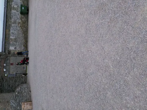
Winterfell Castle Courtyard
Monument and historic site · 1.4 mi
Exactly location of Winterfell Castle Courtyard in season 1 of Game of Thrones®

Brienne & Jaime's Hanging Tree
Monument and historic site · 1.1 mi
The precise tree in the Riverlands where Brienne of Tarth and Jaime Lannister find the bodies of three women hanging from a tree in...
Robb Stark's War Camp
Monument and historic site · 1.0 mi
Audley's Field was used several times in seasons 1 and 2 of Game of Thrones® as Robb's Starks war camp, such as his camp at Moat Cailin...
Walder Frey's Twins
Monument and historic site · 1.1 mi
Audley's Castle was the film location of Walder Frey's Twins in season 1 of Game of Thrones®.
Parks, trails and playgrounds3



Restaurants and cafes14
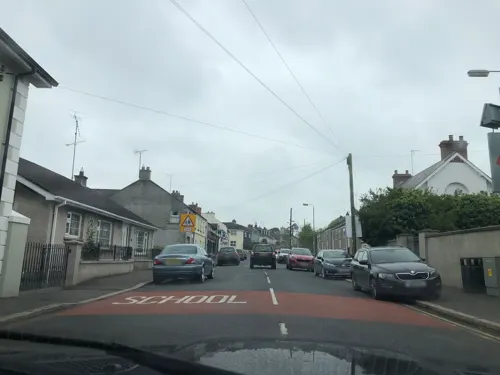
The Artisan Cookhouse
Restaurant · 0.9 mi
4 Kildare Street, Strangford
Mo off; Tu off; We-Th 10:00-20:00; Fr-Sa 10:00-21:00; Su 10:00-20:00
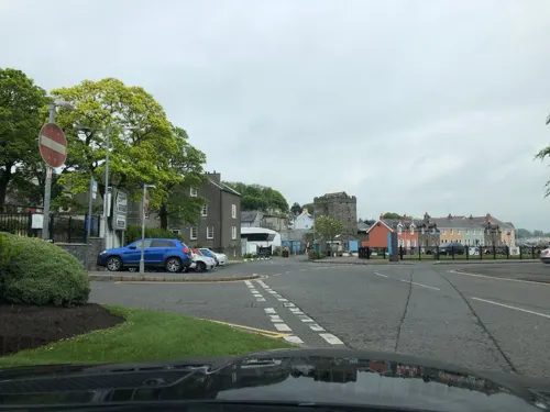
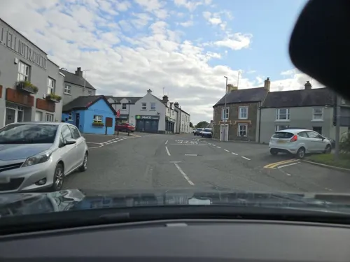
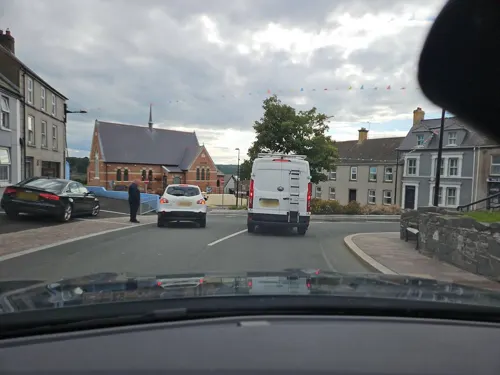
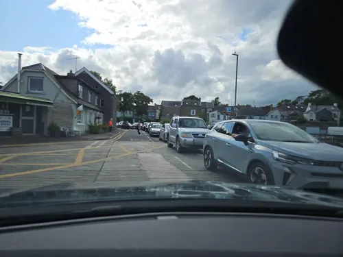
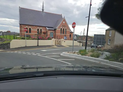
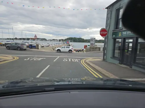
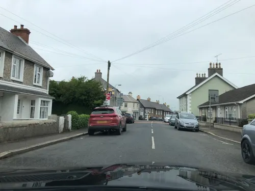
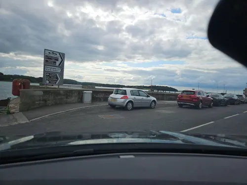


2 more on the map.
History
About two miles from Portaferry is Cooey's Wells which had a church thought to date to the about the 7th century. Three wells reputed to have healing properties are located at that site.
The Anglo-Norman Savage family, who had arrived in Ireland with John de Courcy, settled in the area in the 12th century. The Savage family built a number of structures in the area, including Portaferry Castle, a small 16th-century tower house overlooking Portaferry harbour. The castle's ruin is now a historic monument in state care. Portaferry Windmill, to the south east of the town, was also built by members of the Savage family in the 18th century. It was destroyed by a fire in 1878. The Savage family, later known as Nugent, were also associated with Portaferry House. This house was completed by Andrew Savage (Nugent) in the mid-18th century.
The Portico church in Portaferry was built by the local Presbyterian congregation in 1841. The church, which is a Grade A listed building, replaced a number of earlier churches on the same site. St Patrick's Church in Ballyphilip, in the Catholic parish of Portaferry, was built in 1762. The local Church of Ireland (Anglican) church is also in Ballyphlip. The town's Methodist church was built in the mid-19th century and extensively renovated in the early 20th century.
From the History section of Portaferry on Wikipedia, under CC BY-SA 4.0.
Notable people from Portaferry
 Ciara MageeanIrish athletics competitor (1992–2026)Photo: Sandro Halank, Wikimedia Commons, CC BY-SA 4.0
 Hugh Glass19th century pastoralist in AustraliaPhoto: Unknown author Unknown author, Public domain
- Vincent McNabbIrish scholar and Catholic priest in London
- Mary LeebodyNorthern Irish botanist (1847-1911)
- James BrownIrish cyclist
- Luke ConlanEnglish association football player (born 1994)
- Joseph TomeltyIrish actor, playwright and novelist
- Marianne SmithNew Zealand businesswoman, community worker, philanthropist (1851-1938)
- Noel SandsIrish hurler
- Gerard McGrattanIrish hurler
- Samuel B. McKeepolitician (1822-1887)
- Paul BraniffIrish hurler
Born in Portaferry, according to Wikidata (CC0). Each name links to its Wikipedia article.
Where to stay2
Churches and places of worship5
Shopping4
Gas and EV charging2
Schools, colleges and libraries5
Map of Portaferry
49 places. The map loads OpenStreetMap tiles when you open it.
Getting there and nearby towns
George Best Belfast City Airport (BHD) is the nearest airport with scheduled flights listed in OpenStreetMap, 21 miles away.
- Downpatrick 8 mi southwest, about 12 min by car
- Saintfield 13 mi northwest, about 20 min by car
- Newtownards 16 mi north, about 25 min by car
- Dundonald 18 mi northwest, about 29 min by car
- Bangor 20 mi north, about 32 min by car
- Belfast 21 mi northwest, about 34 min by car
- Holywood 21 mi northwest, about 34 min by car
- Lisburn 22 mi northwest, about 35 min by car
- Newtownabbey 24 mi northwest, about 39 min by car
- Carrickfergus 25 mi northwest, about 41 min by car
Drive times are estimates from straight-line distance, not routes.
Towns near Portaferry


Keep exploring
Local news
Headlines from INDB.
Reviews, tips and questions
Loading what members have shared...
Sources and licences
- GeoNames (CC BY 4.0): population, coordinates, regions and time zone
- Mapillary (see each image): photos
- OpenStreetMap contributors (ODbL 1.0): places, airports, map data
- Wikidata (CC0 1.0): elevation, founding date, time zone, website, landmarks and historic places
- Wikimedia Commons (see each image): photos
- Wikipedia (CC BY-SA 4.0): overview and history text
Photo credits
- Portaferry 1a, Unknown author, Public domain
- Exploris Aquarium, Portaferry (10), October 2009, Ardfern, CC BY-SA 3.0
- Castle Ward House, June 2011 (02), Ardfern, CC BY-SA 3.0
- Audley's Castle, through trees, Caroline Devlin, CC BY-SA 2.0
- Castle Ward 2, Irishdeltaforce, CC BY-SA 3.0
- Otter family, Explorisni, CC BY-SA 4.0
- Street-level photo, toho, CC BY-SA 4.0
- Street-level photo, laye, CC BY-SA 4.0
- Street-level photo, toho, CC BY-SA 4.0
- Street-level photo, laye, CC BY-SA 4.0
- Street-level photo, toho, CC BY-SA 4.0
- Street-level photo, laye, CC BY-SA 4.0
- Street-level photo, toho, CC BY-SA 4.0
- Street-level photo, toho, CC BY-SA 4.0
- Street-level photo, toho, CC BY-SA 4.0
- Street-level photo, toho, CC BY-SA 4.0
- Street-level photo, toho, CC BY-SA 4.0
- Street-level photo, laye, CC BY-SA 4.0
- Street-level photo, toho, CC BY-SA 4.0
- Street-level photo, toho, CC BY-SA 4.0
- Street-level photo, laye, CC BY-SA 4.0
- Street-level photo, toho, CC BY-SA 4.0
Page built November 10, 2026. Spotted a mistake? Tell us or suggest a place.