


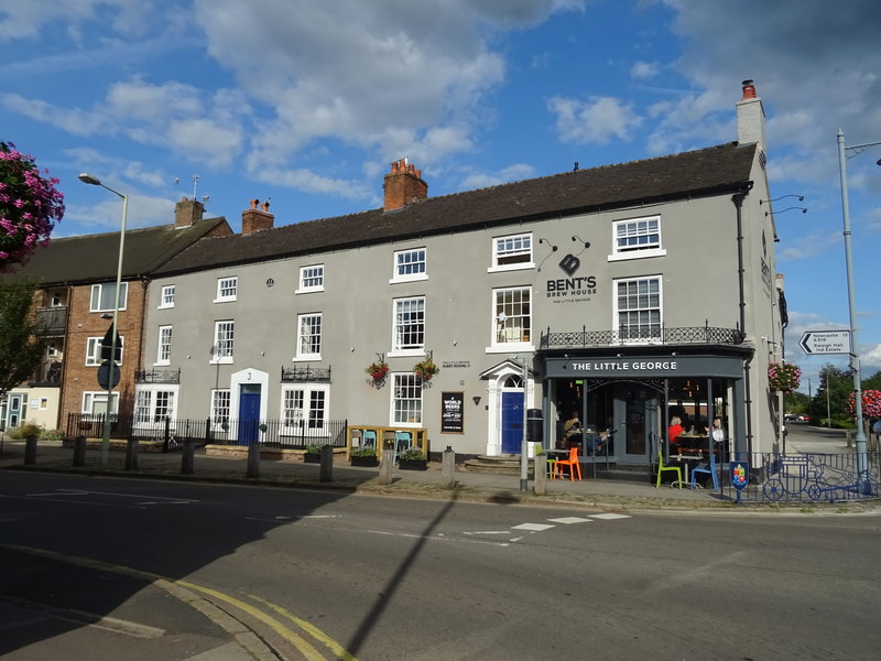


Eccleshall, United Kingdom
Eccleshall is a town of 2,651 people in England, United Kingdom.
Why visit Eccleshall
Townapedia lists 3 museums and landmarks, 5 parks and trails, 18 places to eat, 1 place to stay and 1 attraction in and around town.
Highlights include Gentleshaw Wildlife Centre, Izaak Walton's Cottage, Ranton Abbey and Jackon's Coppice and Marsh.
Weather in Eccleshall
Forecast from MET Norway (CC BY 4.0). Full forecast
About Eccleshall
Eccleshall () is a town and civil parish in the Stafford district, in the county of Staffordshire, England. It is located seven miles northwest of Stafford, and six miles west-southwest of Stone. Eccleshall is twinned with Sancerre in France.
From the Wikipedia article Eccleshall (this version), under CC BY-SA 4.0.
Travel tips from other travellers: Eccleshall on Wikivoyage (CC BY-SA 4.0).
Things to do1

Gentleshaw Wildlife Centre
Zoo and aquarium · 0.6 mi
Stone Road, Stafford
Mo-Tu off; We-Sa 11:00-16:30; Su 11:00-16:00
Museums and landmarks3

Izaak Walton's Cottage
Museum · 2.7 mi
Cottage in Chebsey, Stafford, Staffordshire, England, UK

Ranton Abbey
Monument and historic site · 2.9 mi
Augustinian priory in Staffordshire, England, UK

Eccleshall Castle
Monument and historic site · 0.5 mi
Site of former castle
Parks, trails and playgrounds5

Jackon's Coppice and Marsh
Park · 2.8 mi
Nature reserve in Staffordshire, UK

Restaurants and cafes18

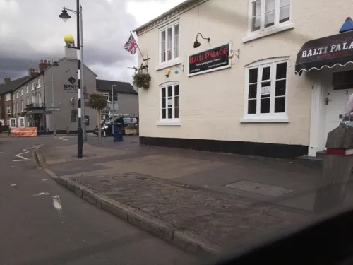

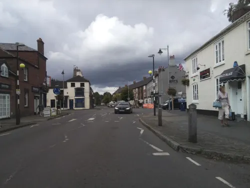
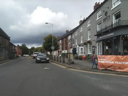



6 more on the map.
History
The name Eccleshall derives from a combination of the Primitive Welsh word eglẹ̄s meaning 'church' and the Old English halh meaning 'nook of land'.
According to the Domesday Book, Eccleshall in 1086 was no more than a small village of about one hundred inhabitants. A few fragments of stone at the base of the tower of the present Parish Church of Holy Trinity suggest that a stone church was in existence about this time and the base of a 10th-century cross still stands outside the church. The oldest part of the church, the pillars and arches of the nave, were begun in 1180 while the remainder of the church was completed during the 13th century, with a fine clerestory being added in the 15th century.
Eccleshall became important as a market town for the surrounding area. In 1153 it was granted the right to hold a weekly market. Around the beginning of the 13th century the village had become a town with the granting of ‘Borough’ status and by 1259 had obtained a charter to hold an annual fair at Ascensiontide. By the time of the survey of the bishop’s estates in 1298 about five hundred people lived in the village, mainly craftsmen or engaged in agriculture.
Read more of the history
To the Bishop of Lichfield, Eccleshall was conveniently situated on the main road between the centres of the diocese in Chester, Lichfield and Coventry. Land was reputedly granted to St Chad and in 1200 Bishop Geoffrey de Muschamp was granted by King John a ‘licence to crenellate’ a castle. From then on until 1867 the site would provide a residence for the Bishops of Lichfield.
However the ruins which exist today are those a later castle built in 1305 by Bishop William Langton, a friend of King Edward I and later Chancellor of England. This was the great era of castle building and he built an imposing fortress with four corner towers and a wide moat. Eccleshall castle briefly played a part in the War of the Roses, when it was used as a base for the Lancastrian Queen Margaret of Anjou and her troops before and after her defeat at the Battle of Blore Heath in 1459.
Bishop William Overton (1580–1609) was probably responsible, in 1580, for bringing two glass making families from Lorraine, Tyzack and Henzey to Bishop's Wood near Eccleshall to set up glass production. Manufacturing ceased around 1615, however, the site of one glass furnace has been excavated in recent times and is preserved and can be seen in Bishop's Wood.
In June 1643 the castle was besieged by Sir William Brereton and his Parliamentary forces encamped around the church. Their guns caused considerable damage to the walls but the castle held out. When the Parliamentary forces finally took the castle on 30 August they found that the bishop (Robert Wright) had died of a heart attack during the siege and most of the defenders were either drunk or had gone into town drinking in the taverns. The castle was sacked but enough of the building remained to be used as a prison for Royalist gentry.
With the development of turnpike trusts in the 18th century as a method of financing road building and improvements, coach travel throughout England had become faster and more reliable. With its position on the main London to Chester road Eccleshall became an important stopping point for coaches on several different routes and the town prospered, the inns in particular. Until recently the large stables at the Royal Oak Hotel could be seen.
For three centuries leather working and shoemaking had been important domestic industries in Eccleshall, but by the end of the 19th century both had almost ceased, with the growth of the mechanised shoe factories in nearby Stafford.
The film I Know Where I'm Going!, Powell and Pressburger's classic romantic comedy made in 1945 highlights Eccleshall in the scene where Joan Webster (Wendy Hiller) meets up with her father in London, and he informs her that he had travelled all the way from Eccleshall to see her that evening.
From the History section of Eccleshall on Wikipedia, under CC BY-SA 4.0.
Notable people from Eccleshall
- Angus ScottBritish hurdler and sprinter (1927-1990)
- David Bodencricketer (born 1970)
- David HibbertEnglish footballer (born 1986)
- Anthony HobsonEnglish cricketer (born 1965)
- Bill HemmingfieldEnglish footballer (1875-1953)
- Timothy Murrillscricketer (born 1953)
- Jessie WrightAmerican doctor (1900–1970)
Born in Eccleshall, according to Wikidata (CC0). Each name links to its Wikipedia article.
Where to stay1
Churches and places of worship4
Shopping1
Schools, colleges and libraries3
Map of Eccleshall
36 places. The map loads OpenStreetMap tiles when you open it.
Getting there and nearby towns
Manchester Airport (MAN) is the nearest airport with scheduled flights listed in OpenStreetMap, 34 miles away.
- Stone 5 mi northeast, about 8 min by car
- Stafford 7 mi southeast, about 11 min by car
- Barlaston 7 mi northeast, about 11 min by car
- Newport 8 mi southwest, about 13 min by car
- Woodcote 9 mi south, about 15 min by car
- Edgmond 9 mi southwest, about 14 min by car
- Newcastle under Lyme 10 mi north, about 16 min by car
- Stoke-on-Trent 10 mi north, about 17 min by car
- Longton 10 mi northeast, about 16 min by car
- Market Drayton 11 mi west, about 17 min by car
Drive times are estimates from straight-line distance, not routes.
Towns near Eccleshall


Keep exploring
Local news
Headlines from INDB.
Reviews, tips and questions
Loading what members have shared...
Sources and licences
- GeoNames (CC BY 4.0): population, coordinates, regions and time zone
- Mapillary (see each image): photos
- OpenStreetMap contributors (ODbL 1.0): places, airports, map data
- Wikidata (CC0 1.0): elevation, founding date, time zone, website, landmarks and historic places
- Wikimedia Commons (see each image): photos
- Wikipedia (CC BY-SA 4.0): overview and history text
Photo credits
- Eccleshall Staffordshire UK, Rob Neild / Robneild at en.wikipedia, CC BY-SA 3.0
- Milestone, Stafford Street, Eccleshall, Richard Law, CC BY-SA 2.0
- King's Arms, Eccleshall, JThomas, CC BY-SA 2.0
- The Little George, Eccleshall, JThomas, CC BY-SA 2.0
- Former British Legion Club, Eccleshall, Richard Law, CC BY-SA 2.0
- Izaak Walton's Cottage 01, Martinevans123, CC0
- Ranton abbey, Peter morrell, Public domain
- Holy Trinity church 2, Tony Grist, CC0
- Bell Inn, Eccleshall, JThomas, CC BY-SA 2.0
- London House, Eccleshall, Richard Law, CC BY-SA 2.0
- Street-level photo, southglos, CC BY-SA 4.0
- Street-level photo, southglos, CC BY-SA 4.0
- Street-level photo, southglos, CC BY-SA 4.0
- Street-level photo, southglos, CC BY-SA 4.0
- Street-level photo, southglos, CC BY-SA 4.0
- Street-level photo, southglos, CC BY-SA 4.0
- Street-level photo, southglos, CC BY-SA 4.0
- Street-level photo, southglos, CC BY-SA 4.0
- Street-level photo, southglos, CC BY-SA 4.0
- Street-level photo, southglos, CC BY-SA 4.0

Page built November 10, 2026. Spotted a mistake? Tell us or suggest a place.