


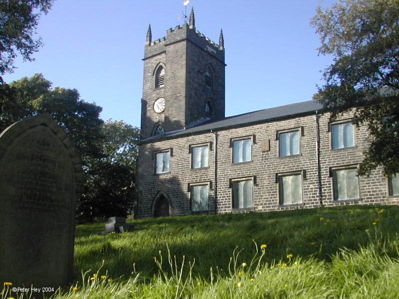


Edenfield, United Kingdom
Edenfield is a town of 2,126 people in England, United Kingdom.
Why visit Edenfield
Townapedia lists 3 museums and landmarks, 5 parks and trails, 32 places to eat, 2 places to stay and 3 attractions in and around town.
Highlights include Peel Monument and Pilgrims Cross, Holcombe Moor.
Weather in Edenfield
Forecast from MET Norway (CC BY 4.0). Full forecast
About Edenfield
Edenfield is a village in the Rossendale borough of Lancashire, England, on the River Irwell 1.25 miles (2.0 km) north of Ramsbottom, 2.5 miles (4.0 km) south of Rawtenstall, and 6.0 miles (9.7 km) west of Norden. At the 2011 census it had a population of 2,053.
From the Wikipedia article Edenfield (this version), under CC BY-SA 4.0.
Things to do3


Museums and landmarks3

Peel Monument
Monument and historic site · 2.1 mi
Commemorative monument

Pilgrims Cross, Holcombe Moor
Monument and historic site · 1.8 mi
Monument marking the site of the ancient Pilgrims Cross on Holcombe Moor
Parks, trails and playgrounds5



Restaurants and cafes32
Levanter
Restaurant · Tapas · 1.4 mi
10 Square Street, Bury
Mo,Tu closed; We 17:00-23:00 open "Kitchen till 10PM"; Th...
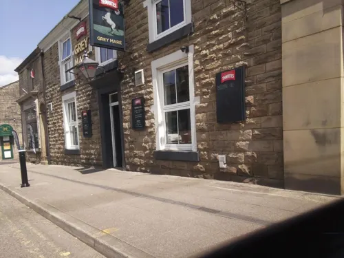
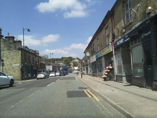
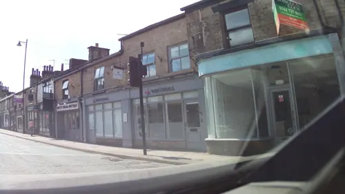


20 more on the map.
History
The origins of the Edenfield place name are not entirely clear, but it seems extremely unlikely that it derives from "fields of Eden" or similar. Given the large number of Old Norse-derived place names in Rossendale and bearing in mind that documents from the 17th century and older spell the name as Aydenfield or some variant of this, a likely toponymy is the Old Norse "øy" (riverside ground/island; see for instance the village of Øyer) + "tun" (farmstead) + field; in other words, the land belonging to the farmstead by the river (Irwell).
Edenfield Chapel of Ease (the precursor of the parish church and part of the benefice of Bury) is extensively mentioned in 16th century documents.
A deed of 1564 mentions one Ralph Nuttall making payments to Richard Nuttall for a land settlement
and that these payments were to take place "in Edenfield Chapel".
A century later there were "aboute foure and twenty tenements and
houses w th in Shuttleworth in the Lordshippe of Burghe [Bury],
beinge all the houses w th in Shuttleworth afforesaid who are
afforesaid, and vsually repaire thither to the ordinances when
Like other villages in Rossendale, Edenfield later became involved in industry and some quarrying activities still continue.
Britain's second largest onshore wind farm was controversially built in 2007–08 on Scout Moor above Edenfield.
From the History section of Edenfield on Wikipedia, under CC BY-SA 4.0.
More about Edenfield
Geography
Edenfield lies above the east bank of the River Irwell, within the Rossendale Valley. The landscape of the area is dominated by Dearden Moor and Scout Moor directly to the east and Holcombe Moor with the Peel Monument, across the valley of the River Irwell to the west. The M66 motorway terminates its course at Edenfield.
Economy
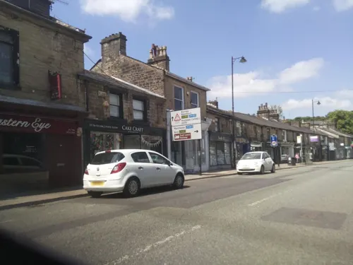
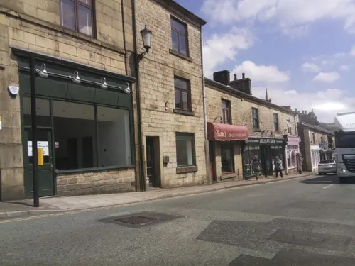
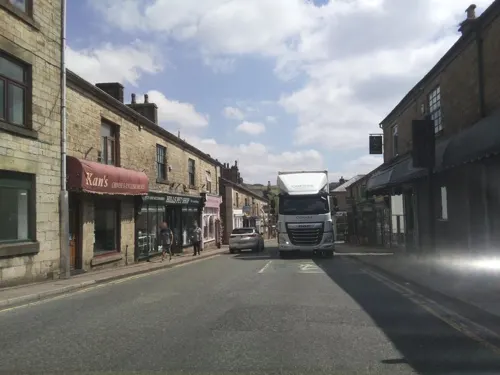
The main thoroughfare in the village is Market Street, along which occurs mostly late 19th century terraced housing and a number of shops.
The number and type of shops in the village has varied over recent years, with an overall decline due to the increased mobility of the population and competition from nearby supermarkets, but mainstays have been an independent baker (Sixsmith's), butcher, pharmacy, post office, newsagent and fish and chip shop.
A number of mills sprang up during the Industrial Revolution from the 1760s onwards – not without the usual Luddite unrest. A once-famous 19th century novel refers to a character "who crossed the hills to preach at Edenfield on Sunday [saying] that machines were broken on Saturday". The mills, built particularly alongside Dearden Brook which provided the water power, are now closed but some remains can be seen in Dearden Clough.
That the main route north from Manchester runs through the village explains the many coaching houses, of which only two public houses survive – the Rostron Arms and the Coach. During the second half of the 19th century Edenfield had its own brewery, the products of which were not entirely popular: due to their purgative effect the ale was known as "Sh-t-n Br-ches". An article published in 1983 described a ghostly headless horseman who allegedly haunts the main road but this "legend" is not widely known elsewhere.
From the Wikipedia article Edenfield, under CC BY-SA 4.0.
Notable people from Edenfield
- Jackie ArthurEnglish footballer (1917-1986)
- George BrooksEnglish footballer
Born in Edenfield, according to Wikidata (CC0). Each name links to its Wikipedia article.
Where to stay2
Churches and places of worship11
Ramsbottom Community Church
Church · Pentecostal · 1.4 mi
Carr Street, Ramsbottom
Shopping8
Gas and EV charging2
Schools, colleges and libraries6
Healthcare1
Map of Edenfield
73 places. The map loads OpenStreetMap tiles when you open it.
Getting there and nearby towns
Manchester Airport (MAN) is the nearest airport with scheduled flights listed in OpenStreetMap, 22 miles away.
- Ramsbottom 1 mi south, about 2 min by car
- Rossendale 2 mi northeast, about 3 min by car
- Rawtenstall 2 mi north, about 4 min by car
- Haslingden 3 mi north, about 4 min by car
- Edgworth 4 mi west, about 6 min by car
- Bury 5 mi south, about 7 min by car
- Bacup 5 mi northeast, about 8 min by car
- Accrington 6 mi north, about 10 min by car
- Rochdale 7 mi southeast, about 11 min by car
- Darwen 7 mi west, about 11 min by car
Drive times are estimates from straight-line distance, not routes.
Towns near Edenfield


Keep exploring
Local news
Headlines from INDB.
Reviews, tips and questions
Loading what members have shared...
Sources and licences
- GeoNames (CC BY 4.0): population, coordinates, regions and time zone
- Mapillary (see each image): photos
- OpenStreetMap contributors (ODbL 1.0): places, airports, map data
- Wikidata (CC0 1.0): elevation, founding date, time zone, website, landmarks and historic places
- Wikimedia Commons (see each image): photos
- Wikipedia (CC BY-SA 4.0): overview and history text
Photo credits
- Edenfield and Scout Moor, Ian Roberts, CC BY-SA 2.0
- Rochdale Road Edenfield, Paul Anderson, CC BY-SA 2.0
- Peel Monument - August 2022 (1), Christian David, CC BY-SA 4.0
- StNicholas, CalTPD, Public domain
- St Paul's Church, Constable Lee, Dangerousismyname, CC BY-SA 4.0
- Leaning Tower, Jbudd, CC BY-SA 3.0
- Street-level photo, southglos, CC BY-SA 4.0
- Street-level photo, southglos, CC BY-SA 4.0
- Street-level photo, southglos, CC BY-SA 4.0
- Street-level photo, southglos, CC BY-SA 4.0
- Street-level photo, southglos, CC BY-SA 4.0
- Street-level photo, southglos, CC BY-SA 4.0
- Street-level photo, southglos, CC BY-SA 4.0
- Street-level photo, southglos, CC BY-SA 4.0
- Street-level photo, southglos, CC BY-SA 4.0
- Street-level photo, southglos, CC BY-SA 4.0
- Street-level photo, southglos, CC BY-SA 4.0
- Street-level photo, southglos, CC BY-SA 4.0
- Street-level photo, southglos, CC BY-SA 4.0
- Street-level photo, southglos, CC BY-SA 4.0
- Street-level photo, southglos, CC BY-SA 4.0
Page built November 10, 2026. Spotted a mistake? Tell us or suggest a place.